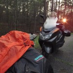
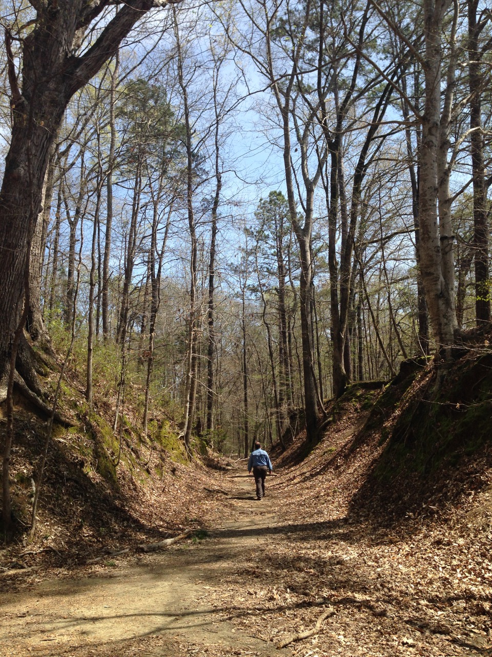
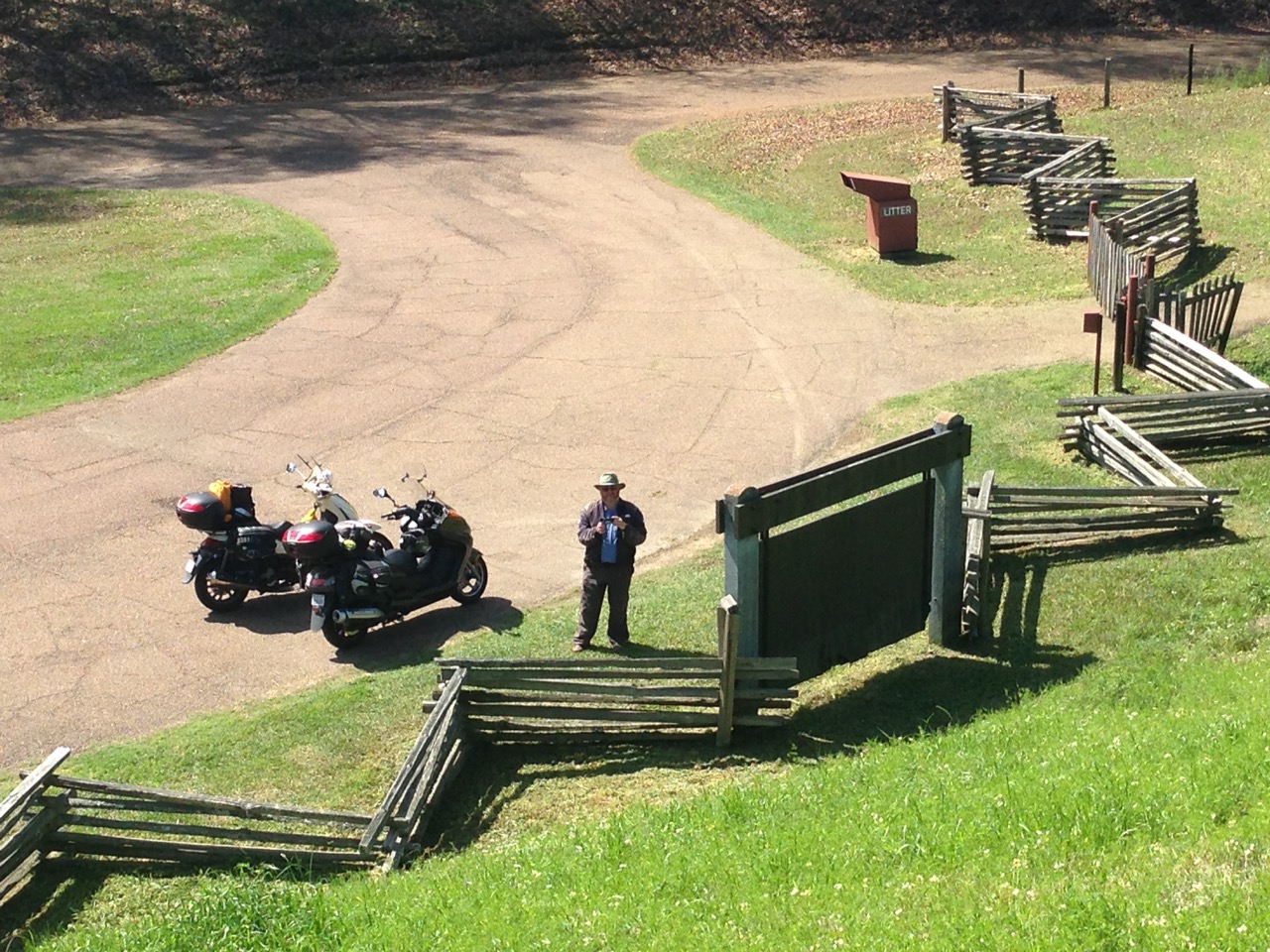
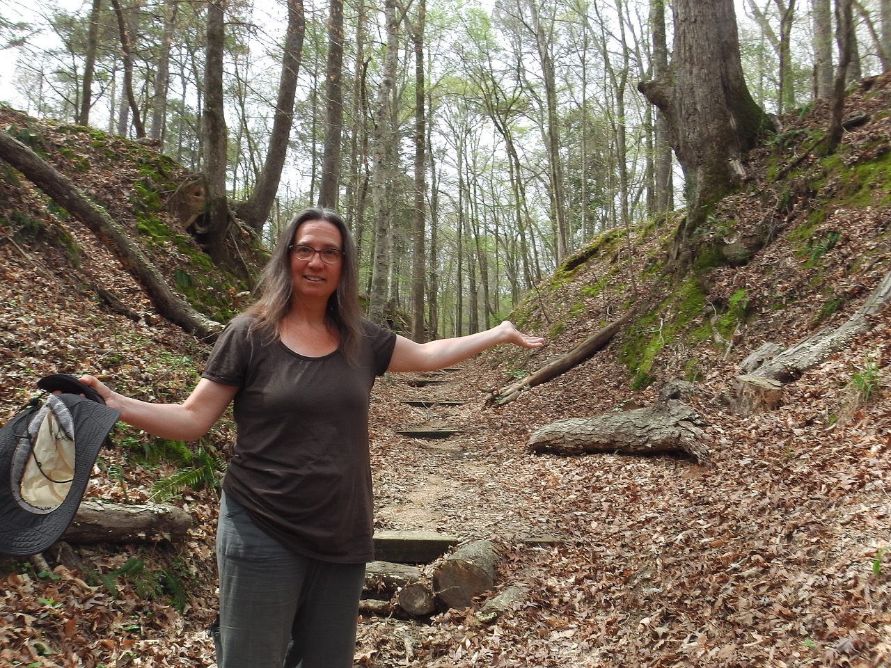
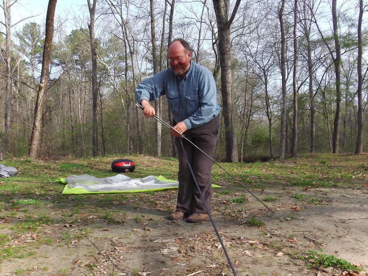
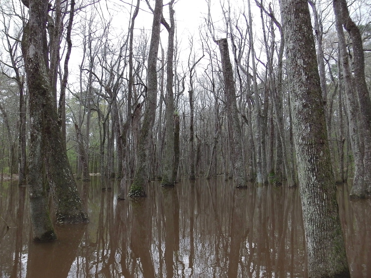
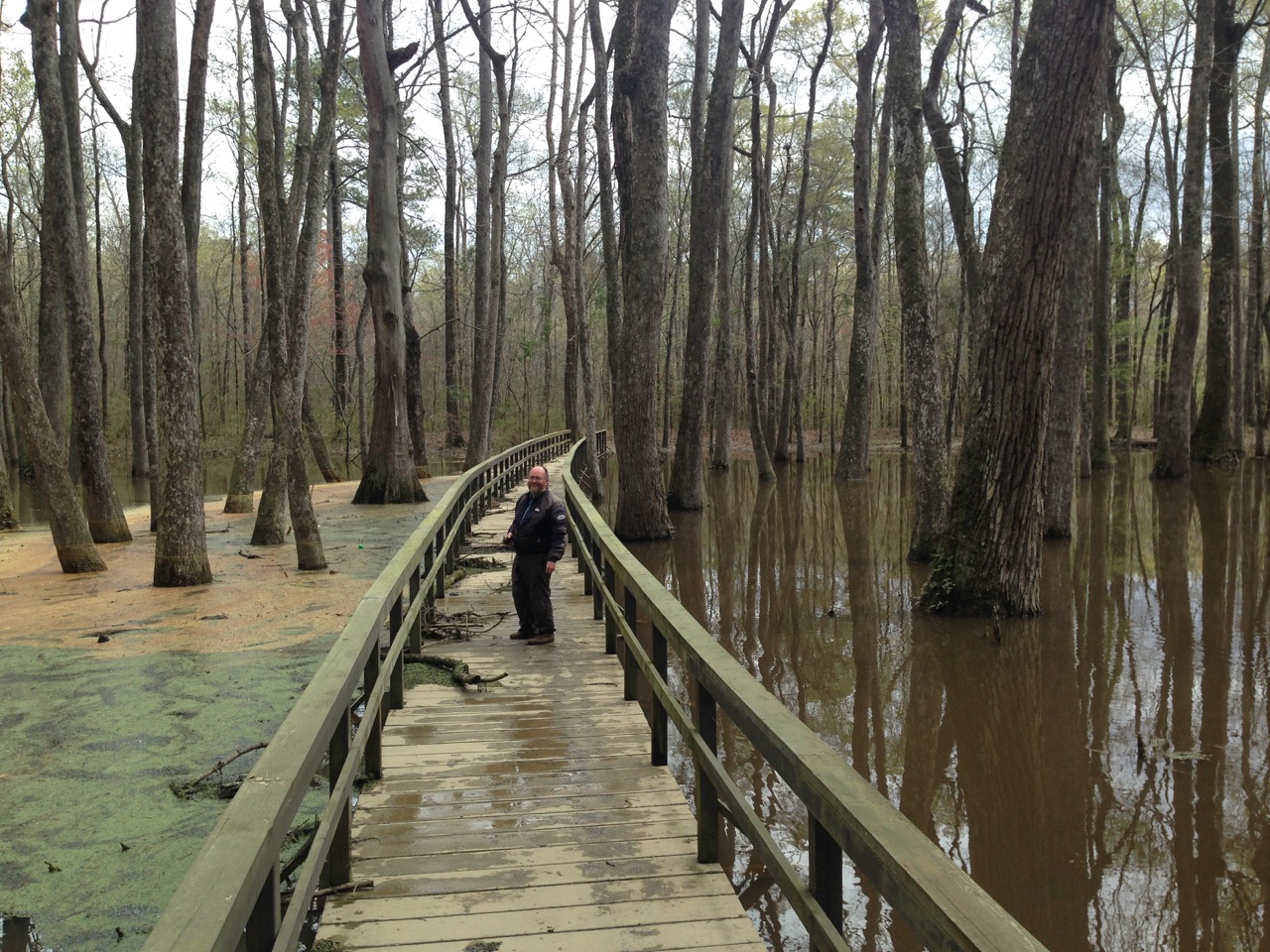
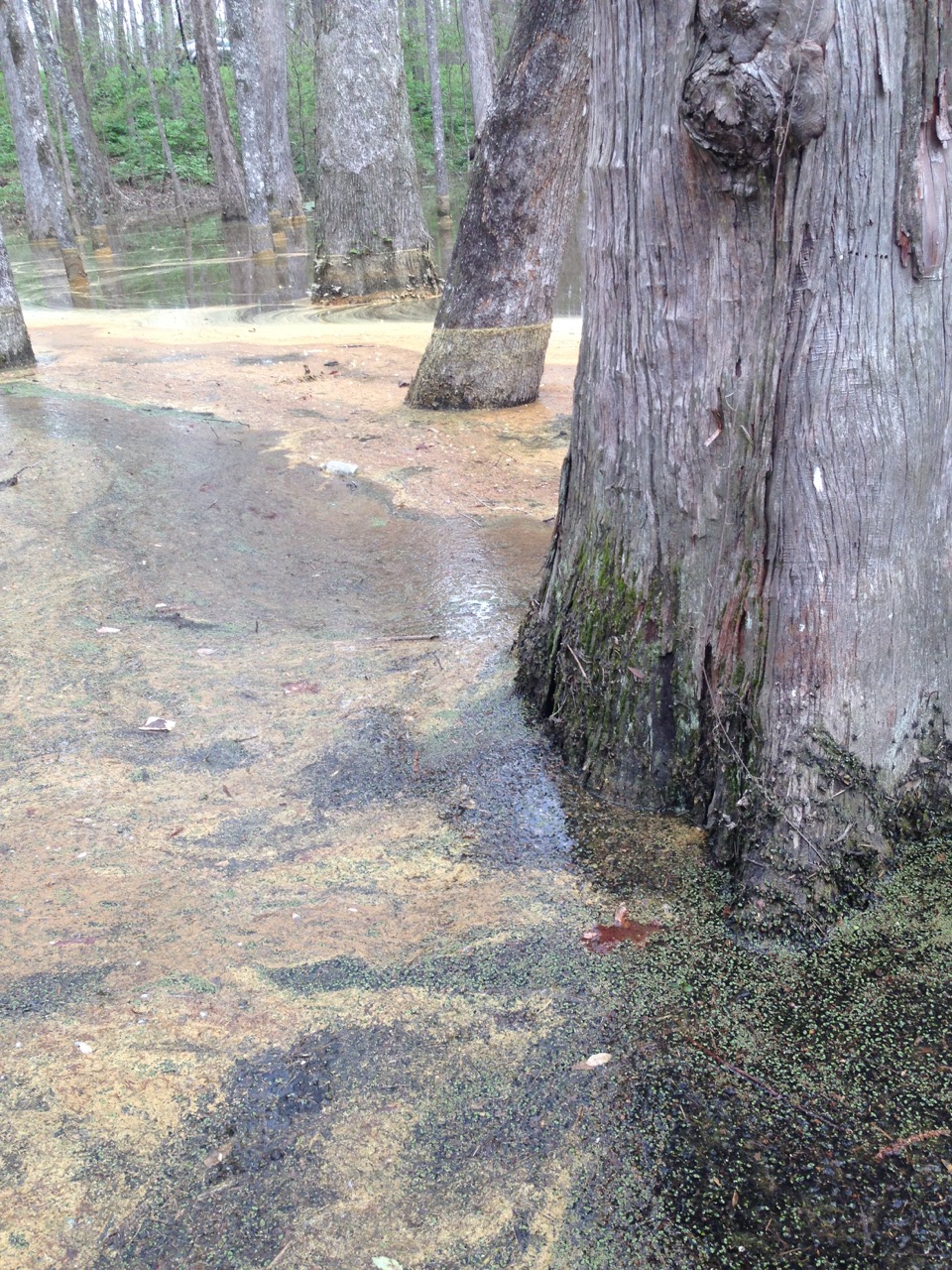
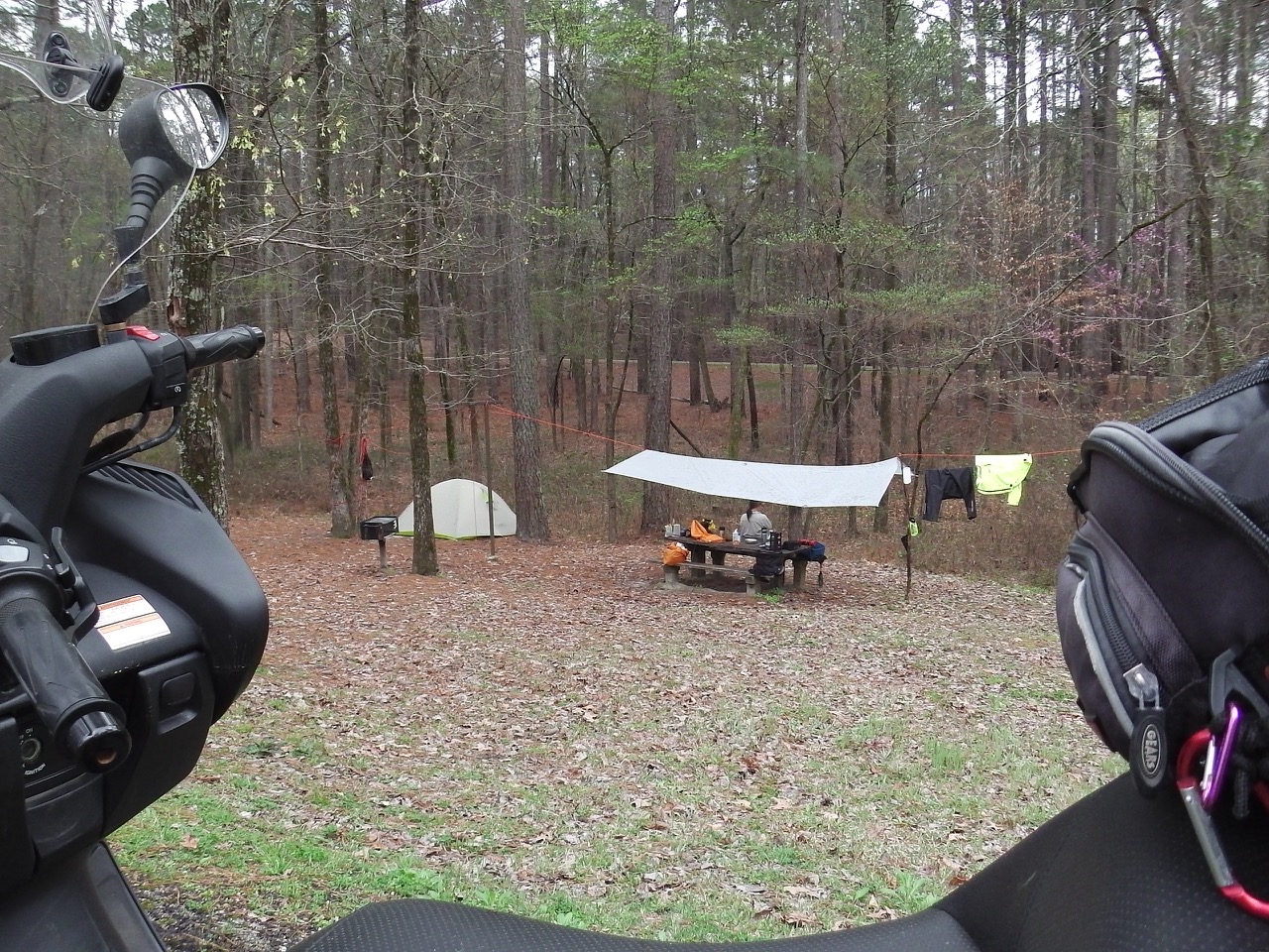
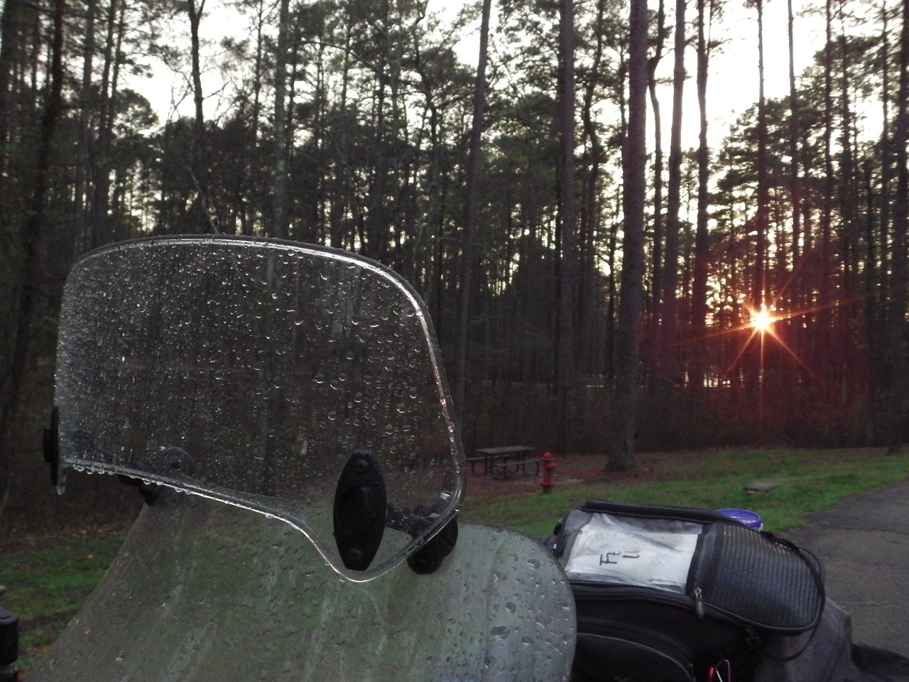
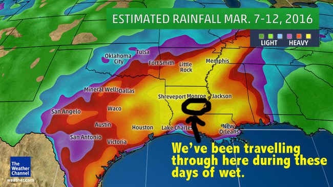
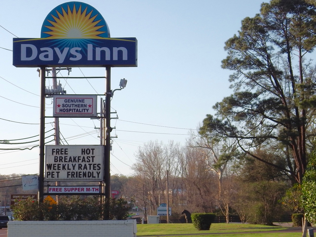
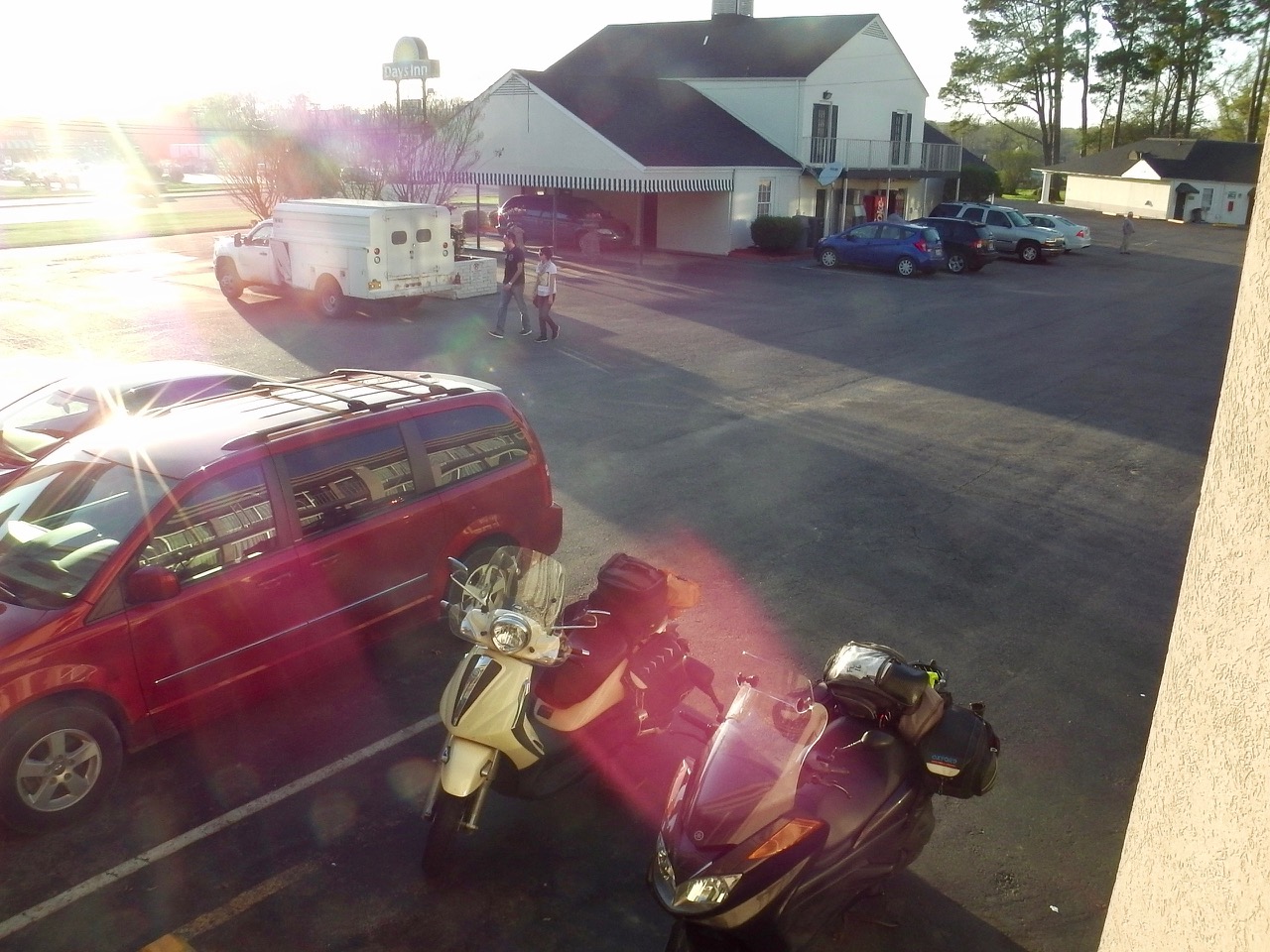
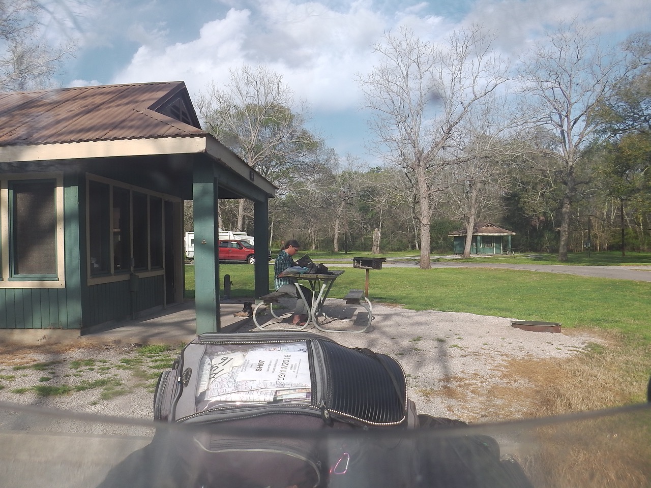
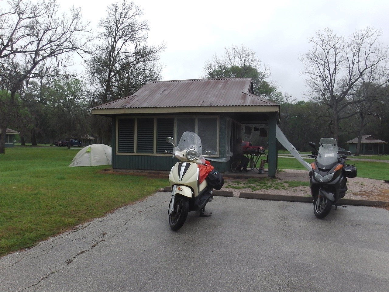
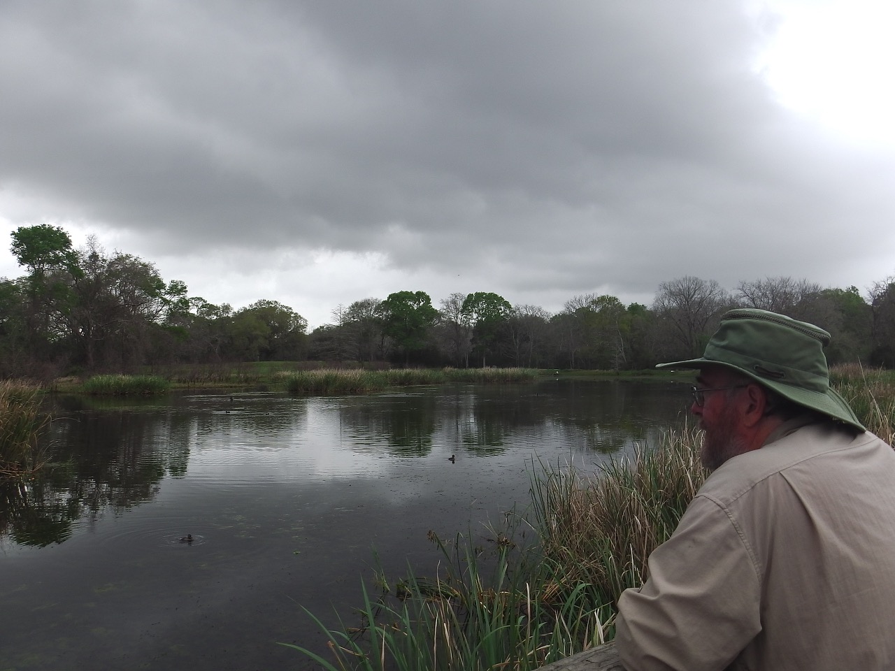
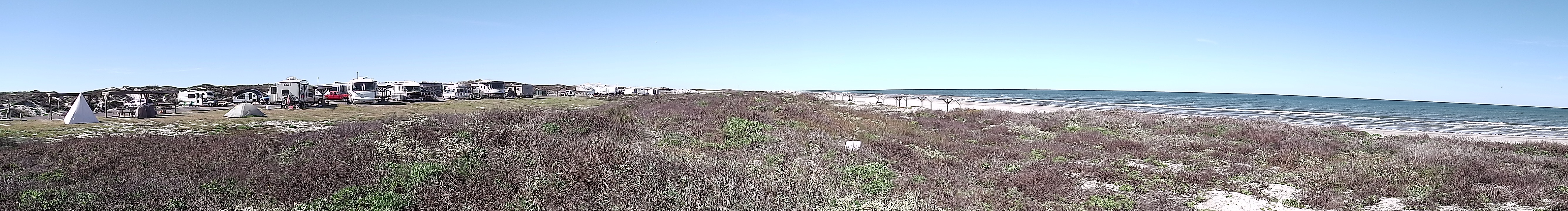
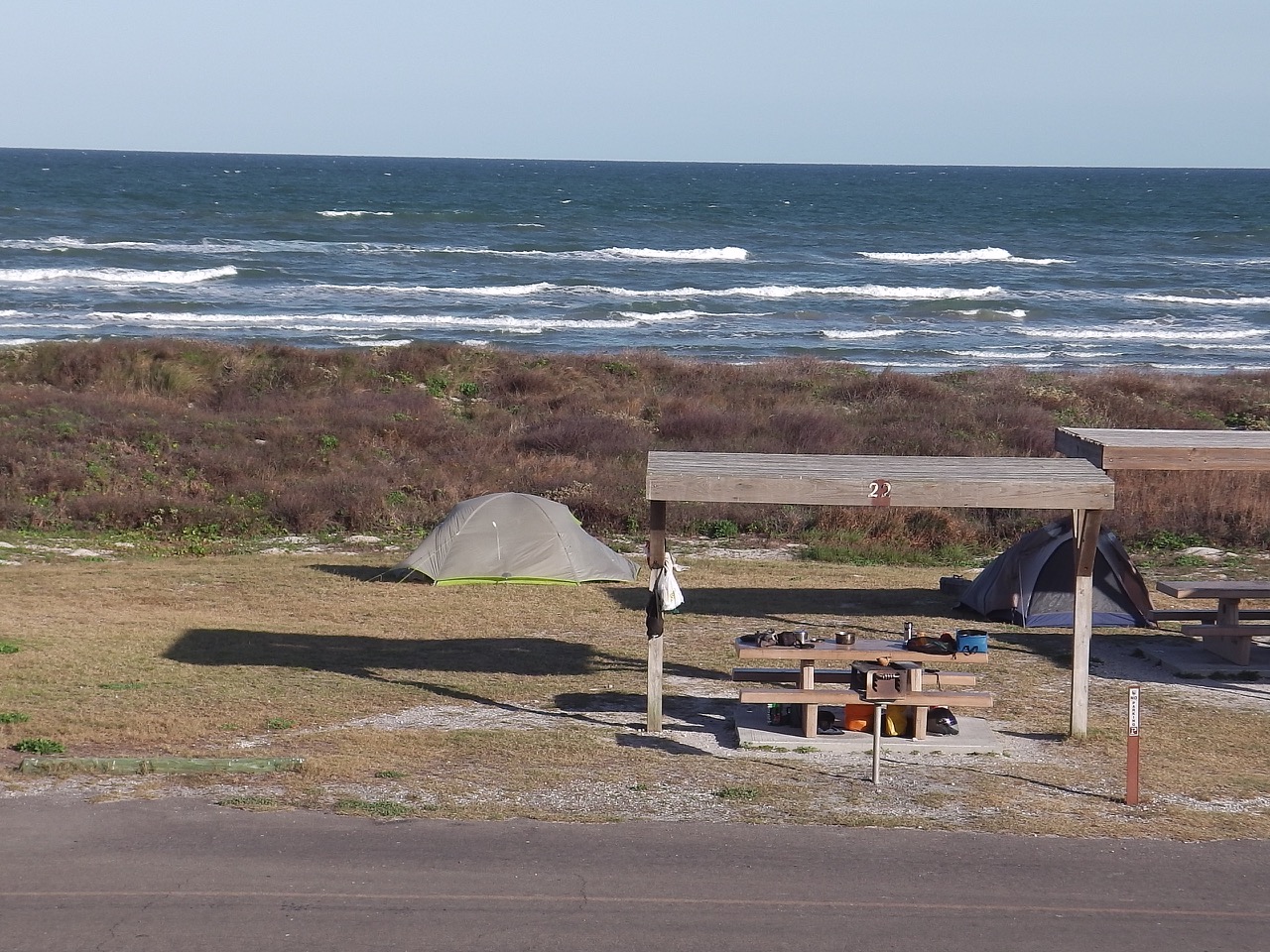
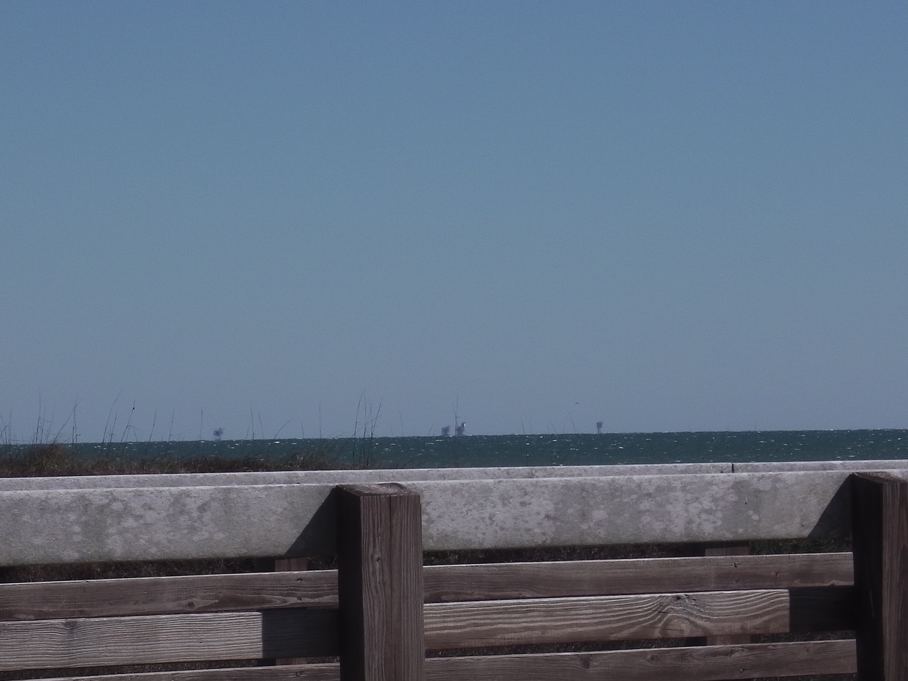
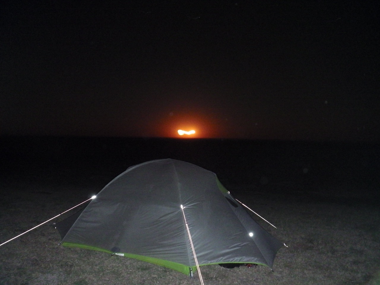
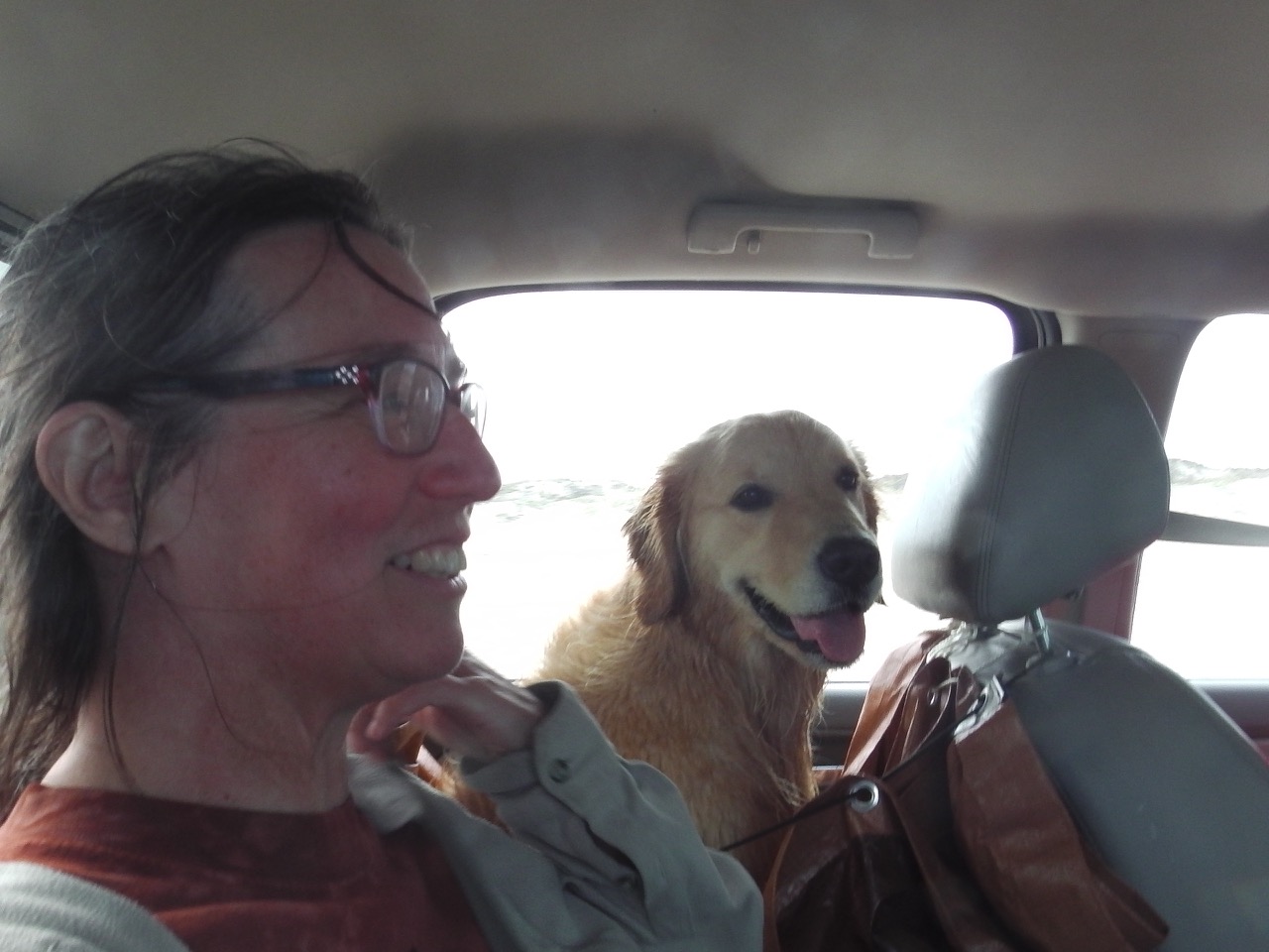
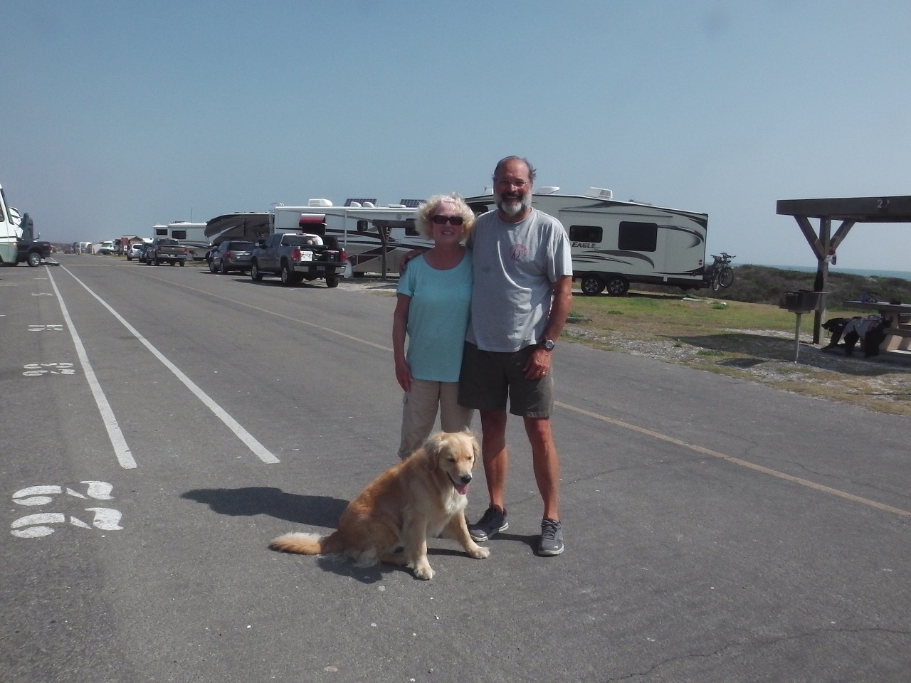
 We left Jeff Busby campsite with the intention of tenting at the last site on the Trace, but weather started cold and damp, and only got worse. Low temperatures were combined with icy cold, and very strong winds. Soon one of us was shivering, whimpering, pathetic, and somewhat hypothermic (OK, it was me 😉 ). Luckily Ann recalled Santa Steve mentioning there was a motel in the tiny village of Collinwood, so we steered our way off the Trace in search of a warm, dry bed.
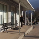
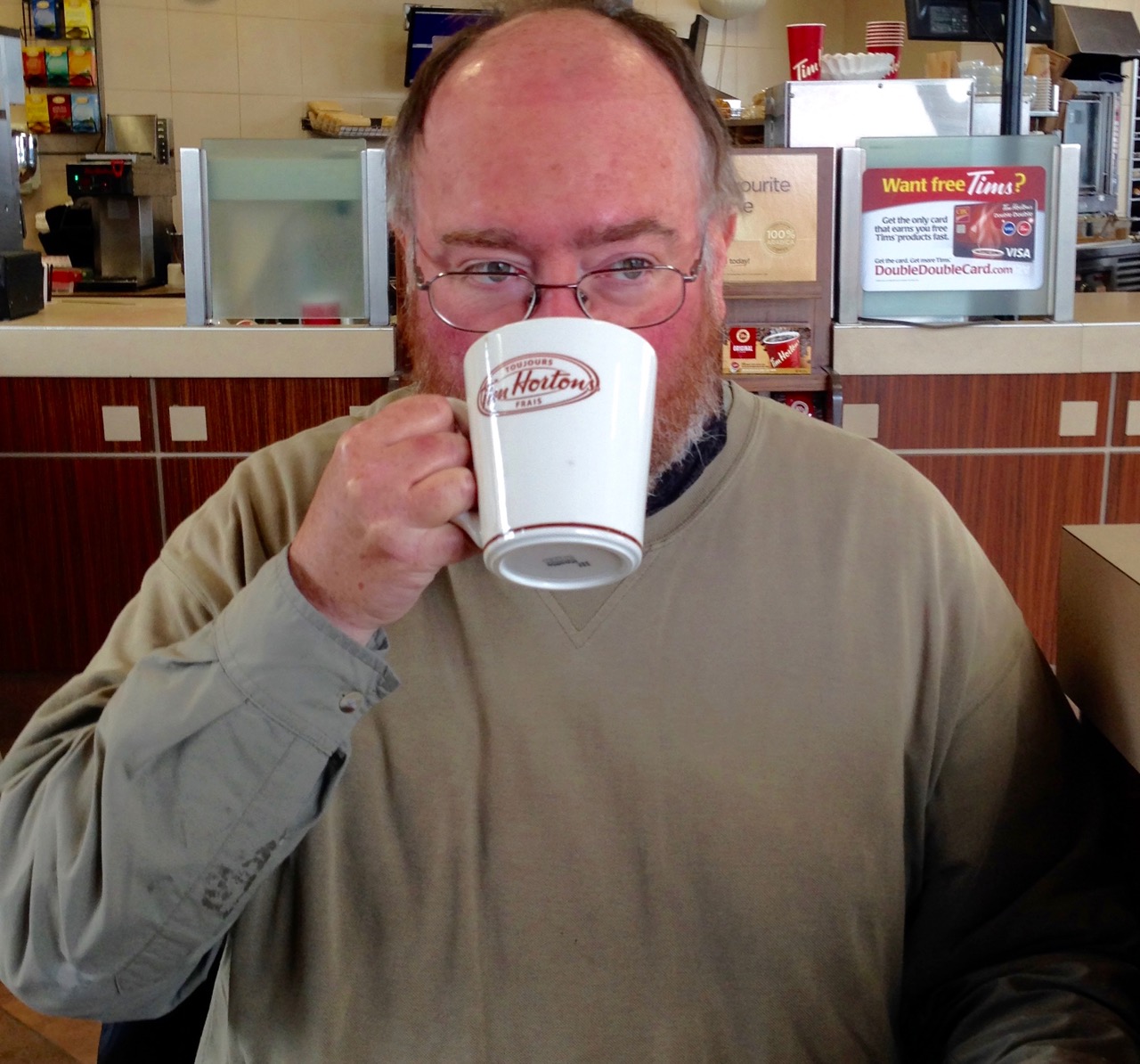
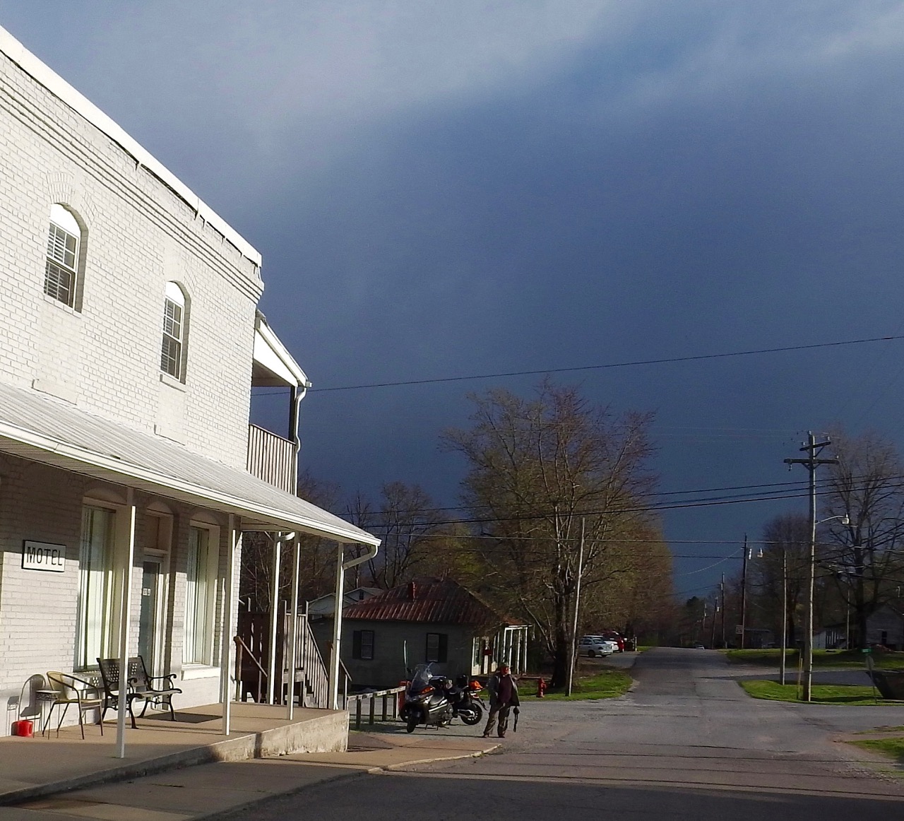
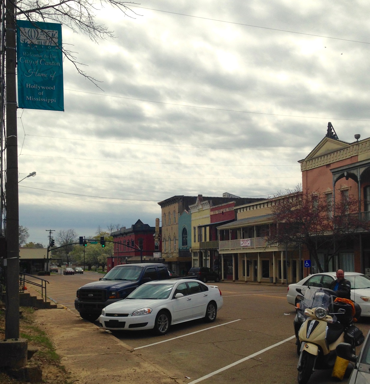
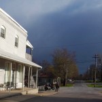 We first stopped at the village’s Welcome Centre, and were greeted with a warm building, and nice hot coffee. The manager confirmed there was a motel in town, and even called the owners to see if one of the two rooms (yes, the motel has two rooms) was open. Luckily they had an opening, so we arranged to meet the owner.
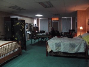
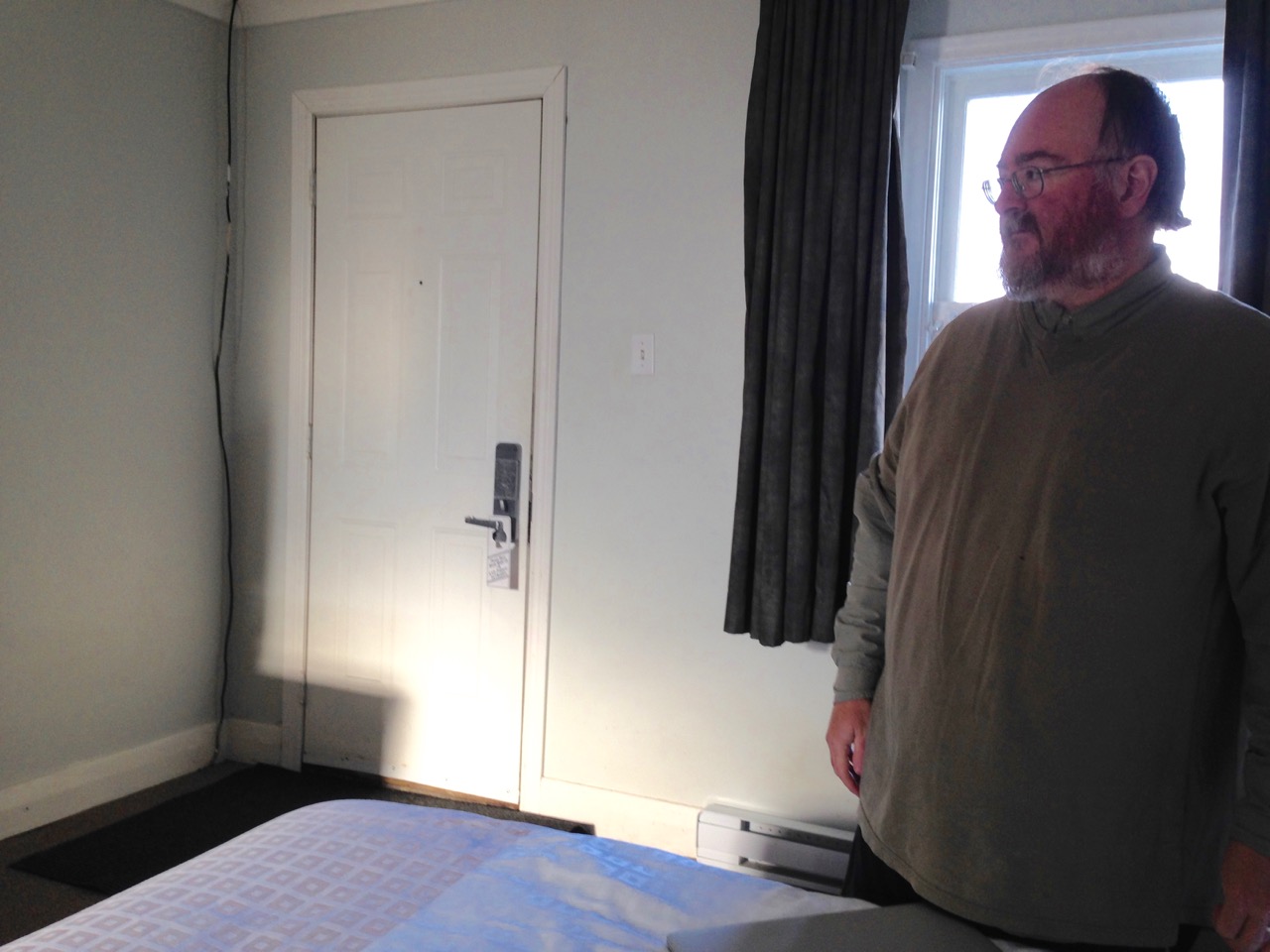
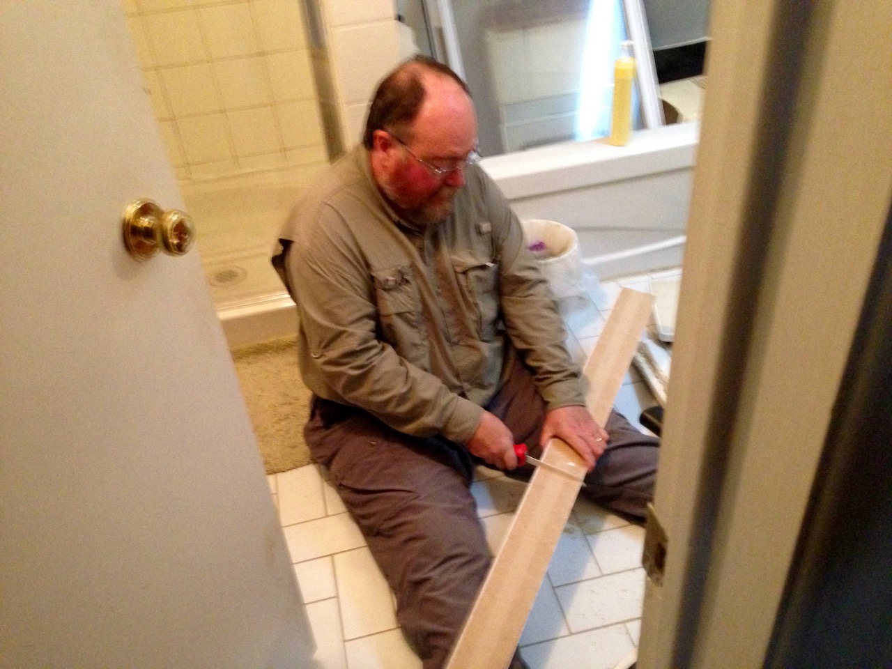
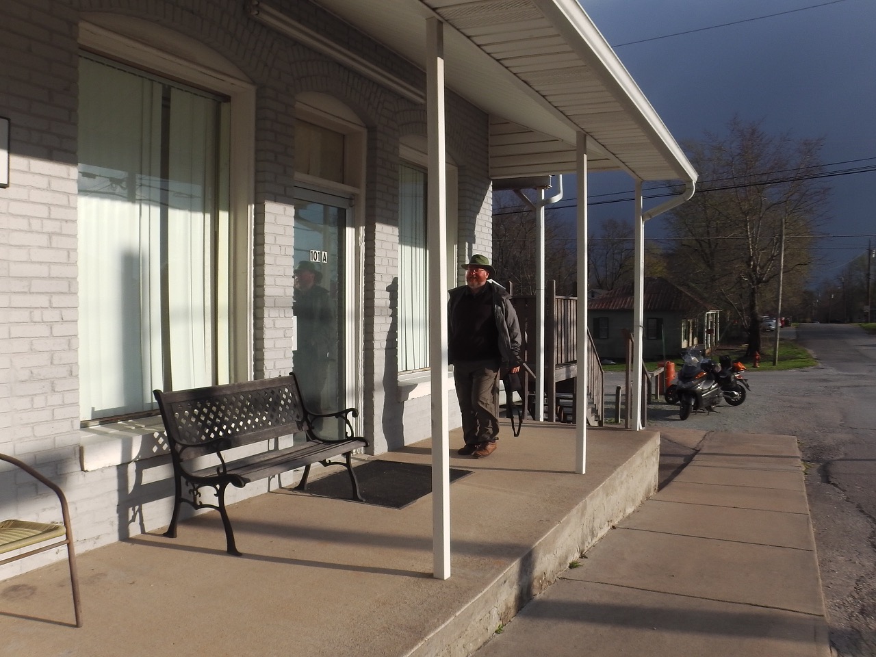
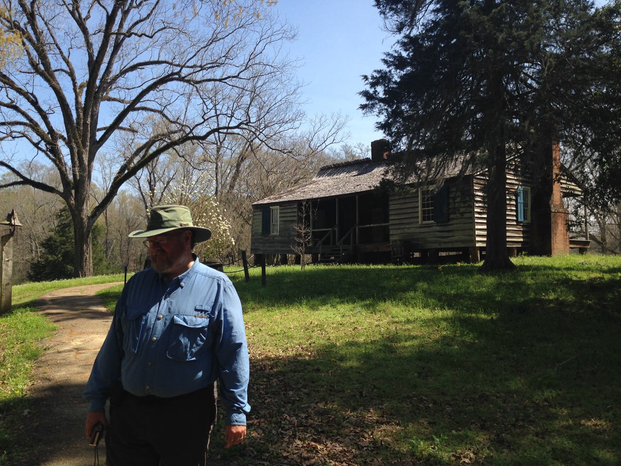
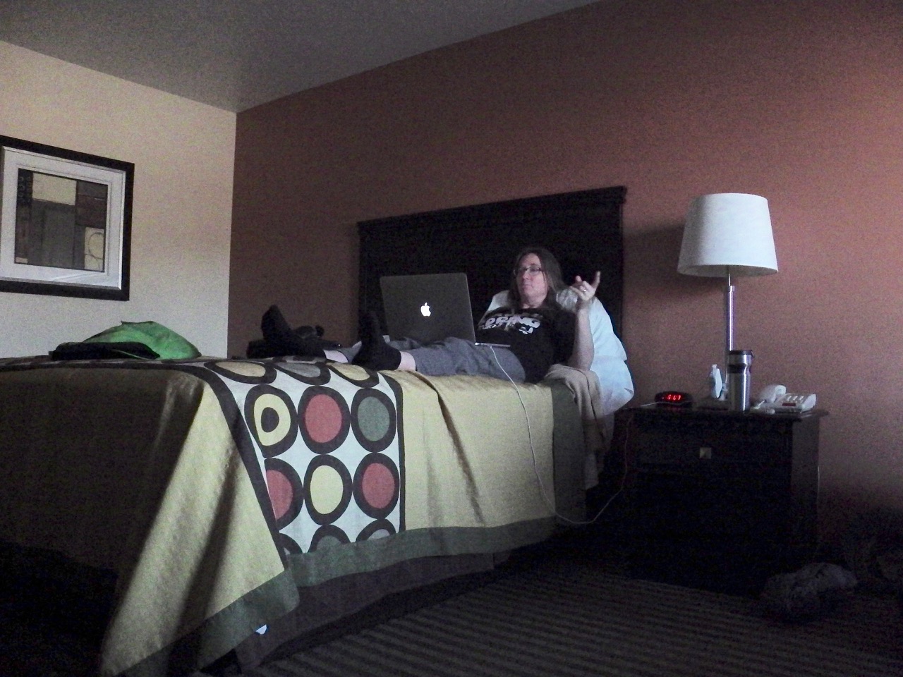
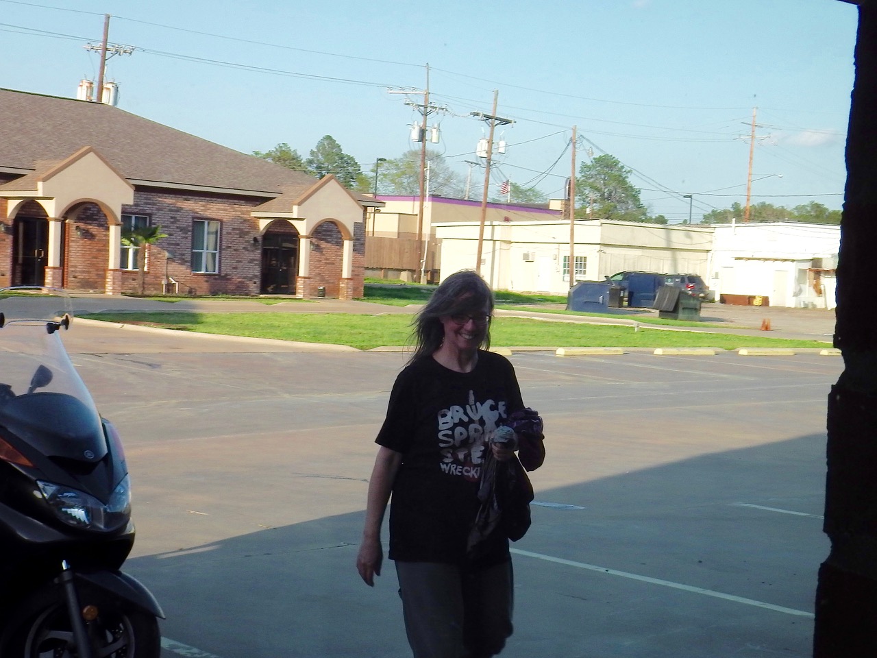
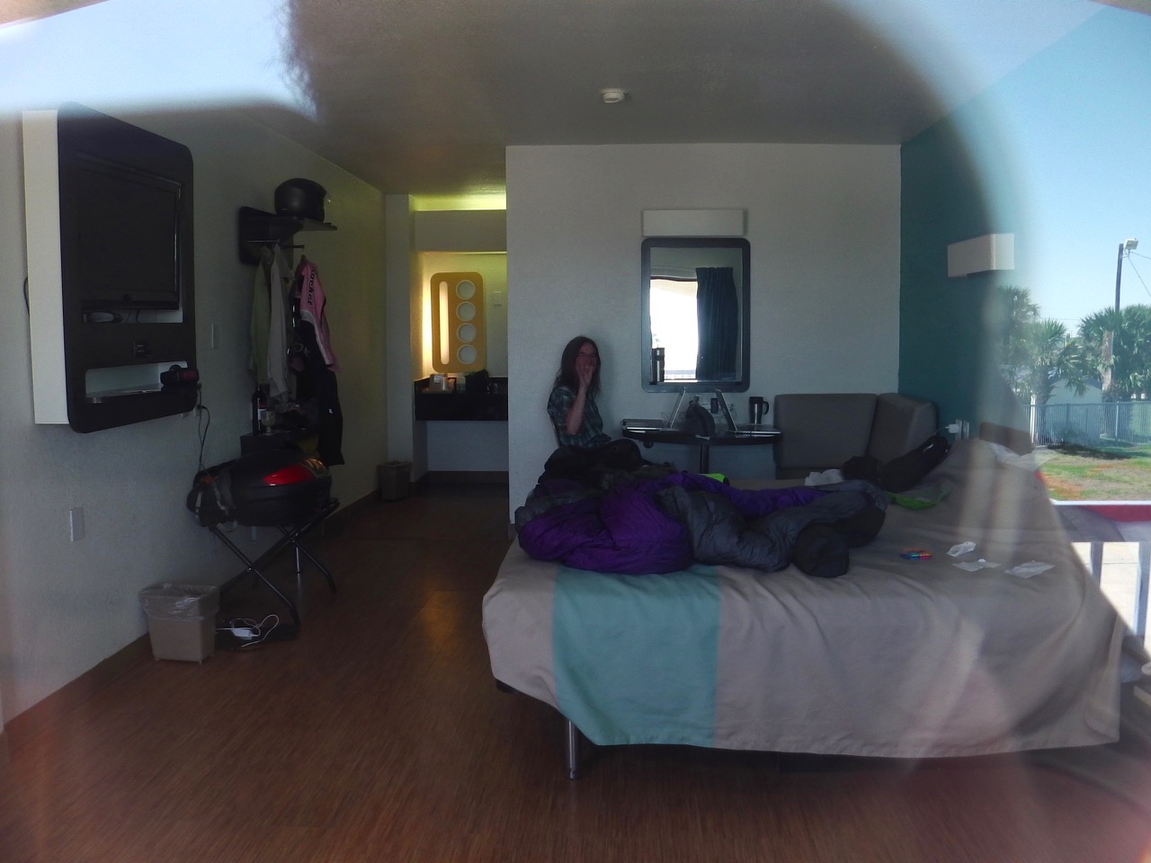
 The motel is owned by the people who run the village hardware store. They live upstairs, and had converted a lower storefront into two motel rooms. We were warmly greeted by Linda, the owner, and were invited in to what looked more like a basement guest-room than a standard motel. It was also adorned with various religious images, including a stack of Christian magazines. But she was sweet, and the room was warm and inviting. We happily moved in for the night.
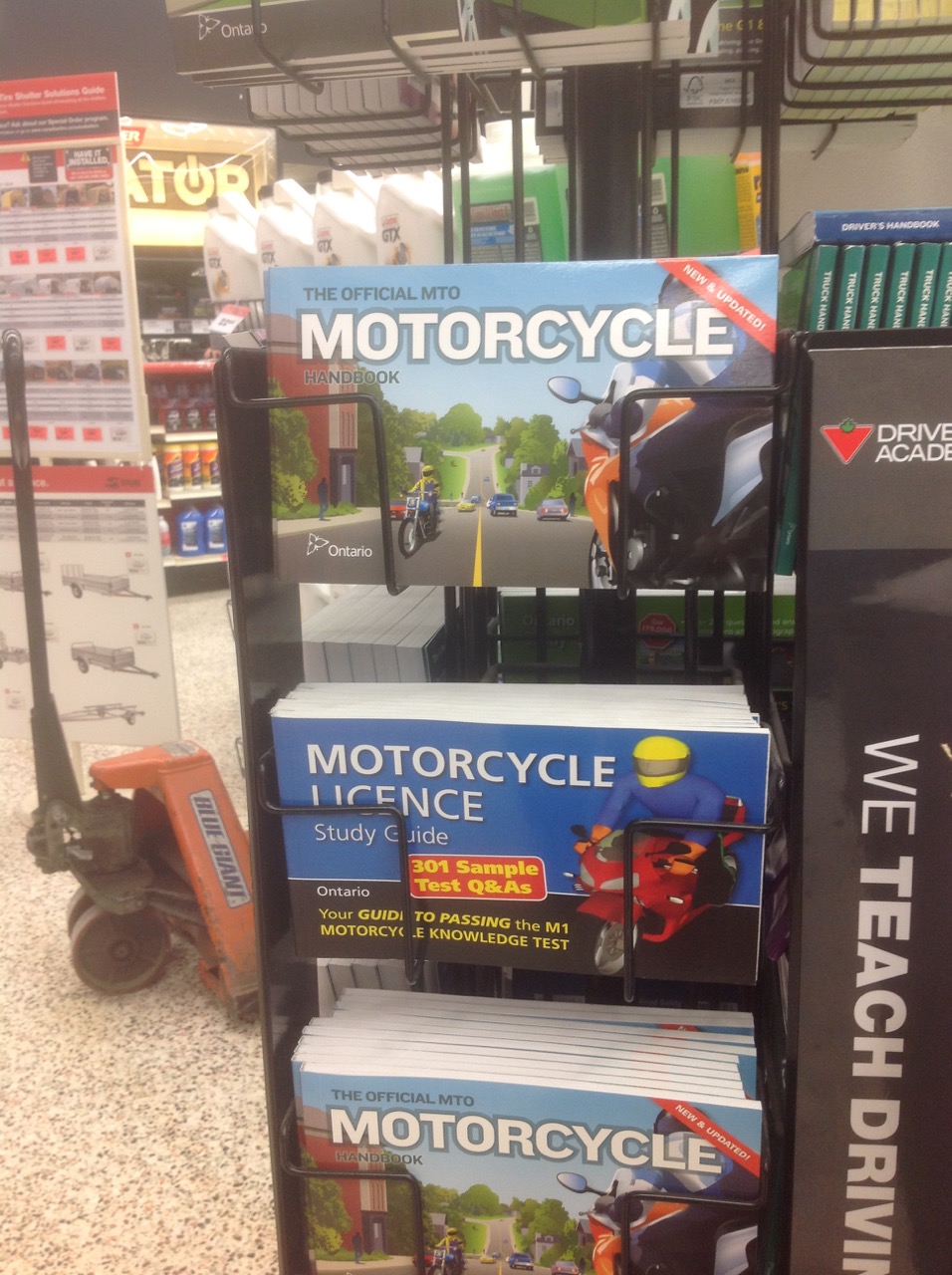
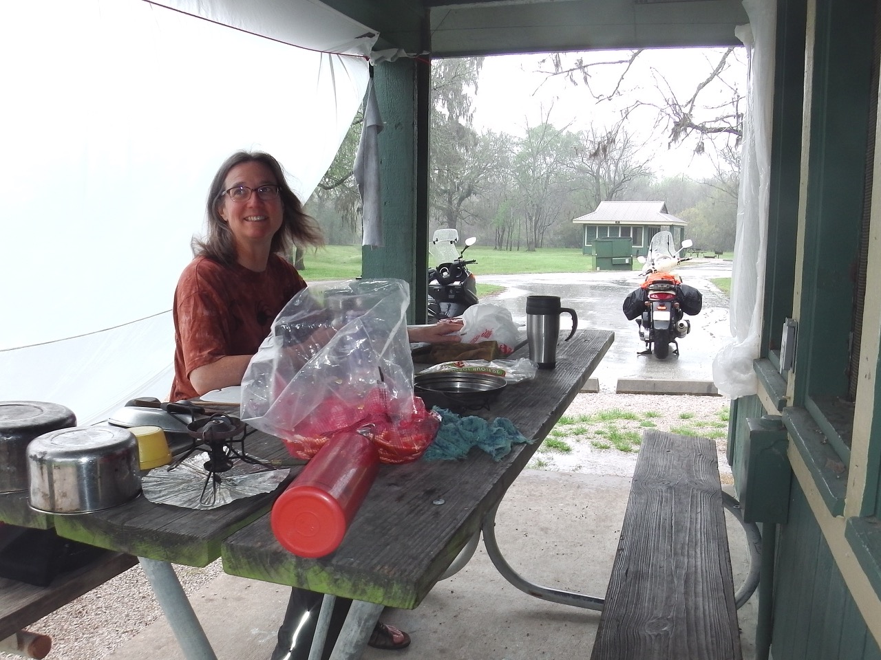
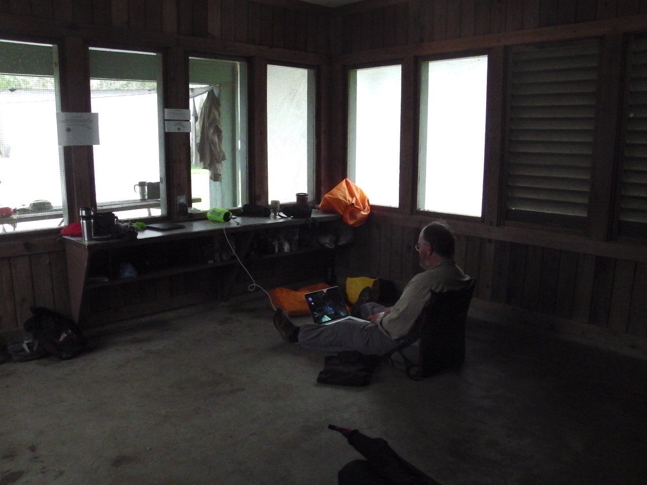
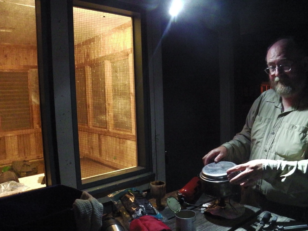
Unfortunately the village’s only restaurant was closed for the night, so we wondered down to the gas station/convenience store for supper. It was then that my worst fears were confirmed: We were in a DRY town. Booze, which can normally be bought everywhere, was no where to be seen. Damn… At least the pizza was good.
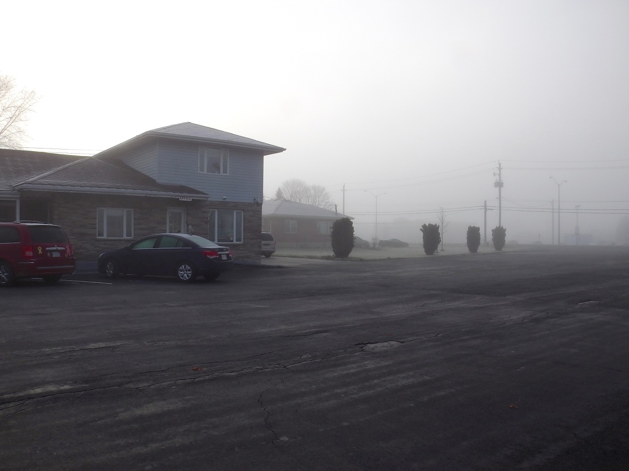
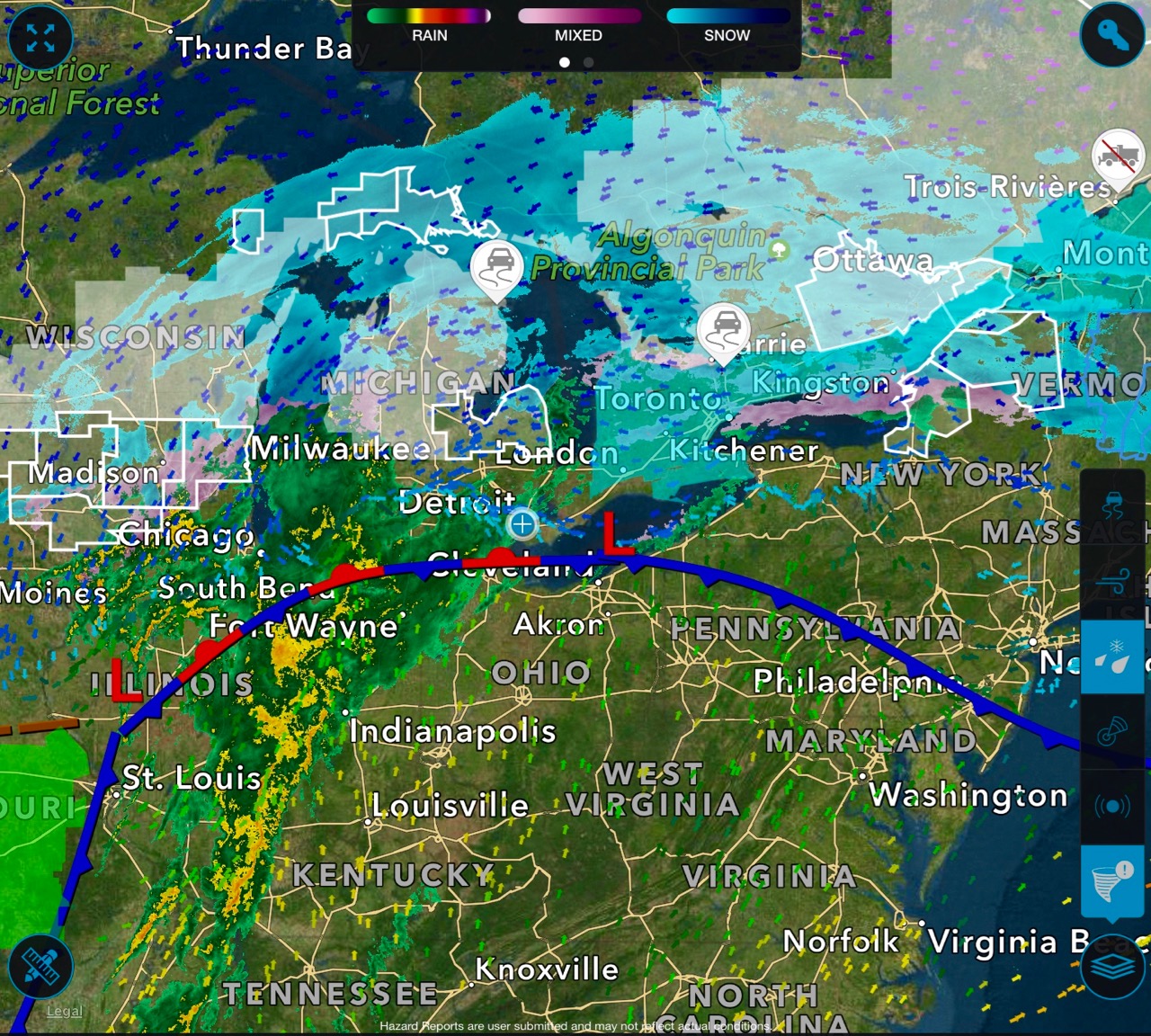
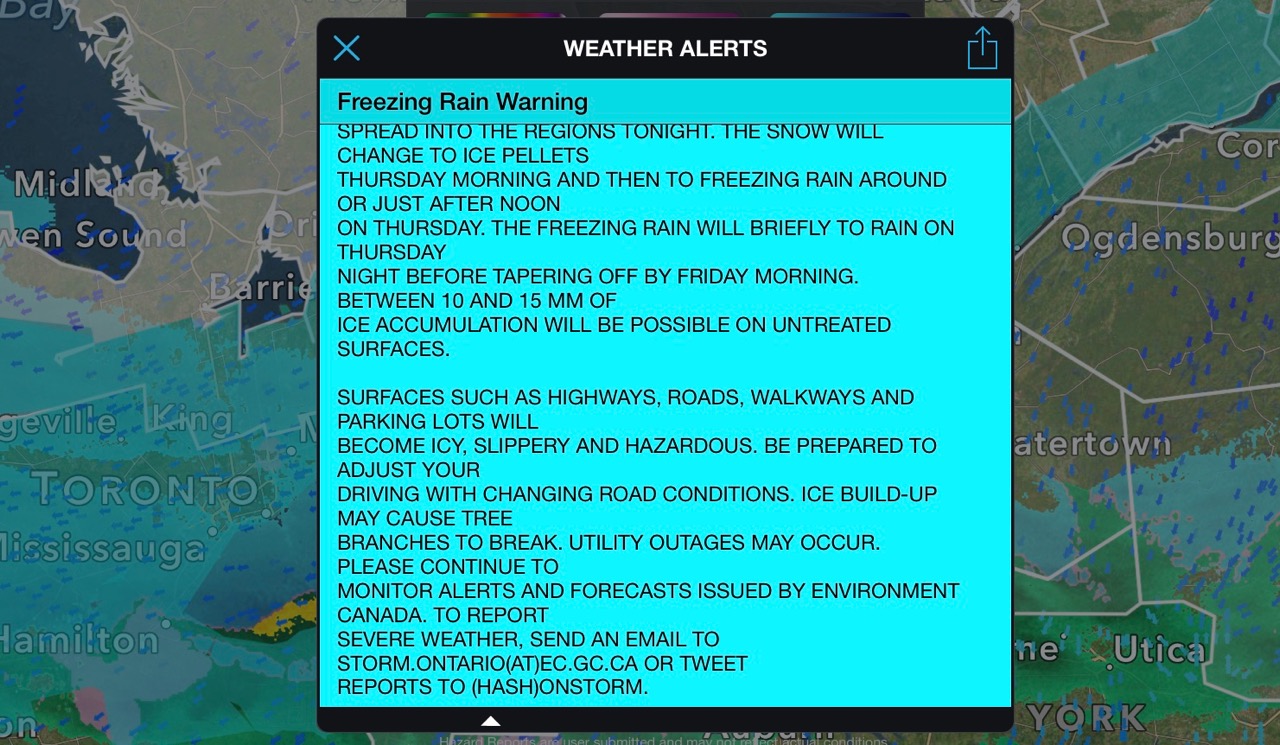
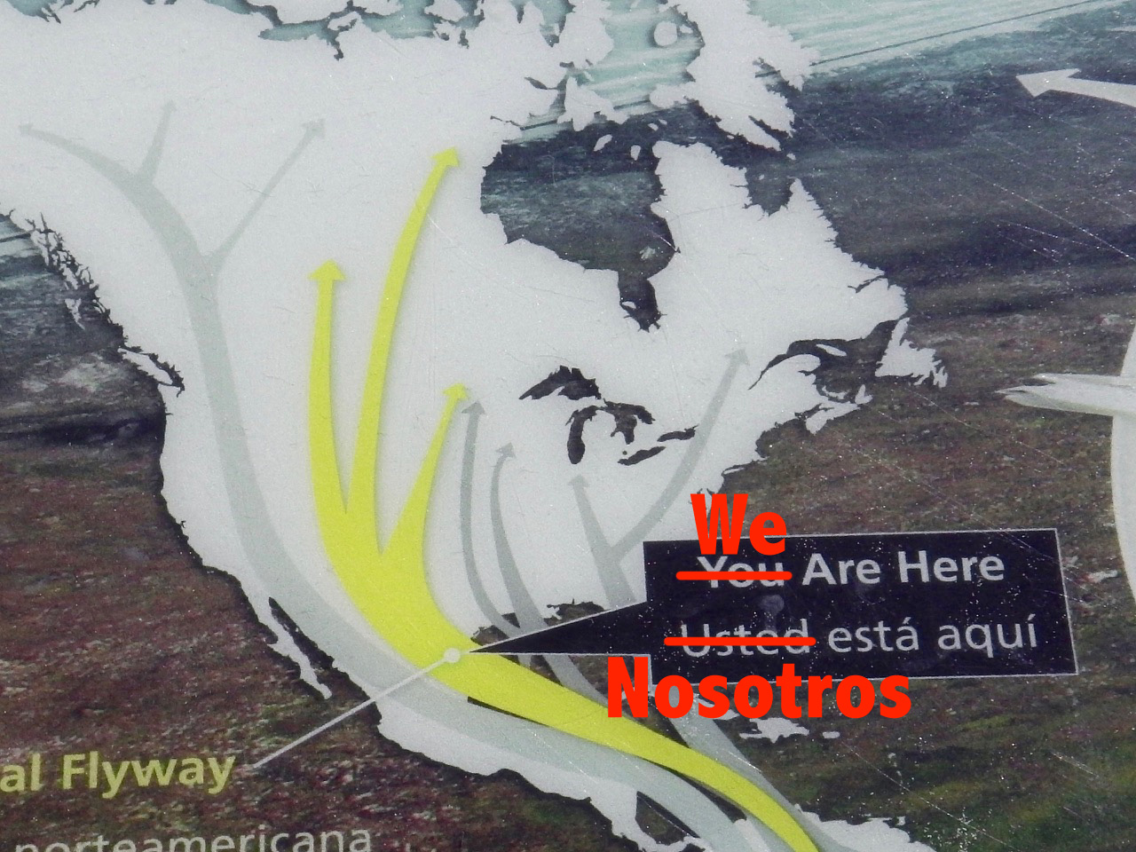
 The rain and wind stopped overnight and we woke to a cool but fairly nice day. Overnight we had spent much time looking at weather maps and forecasts. A massive late winter storm was heading our way, promising to deliver high winds, cold temperatures, and lots of rain, freezing rain and snow. Our preferred route back to Canada up through the Thousand Islands/Cornwall was now closed off. Even Niagara looked bad, so we decided to head to Windsor via Detroit.
In addition to this huge weather system, which was expected to pummel the whole region for days, we also had a looming deadline in the form of our travel healthcare insurance. It was due to expire on the 25th — just days away. So with only one route open to us, and time ticking away, we had no choice but to plan for some long riding days.
Yuck …
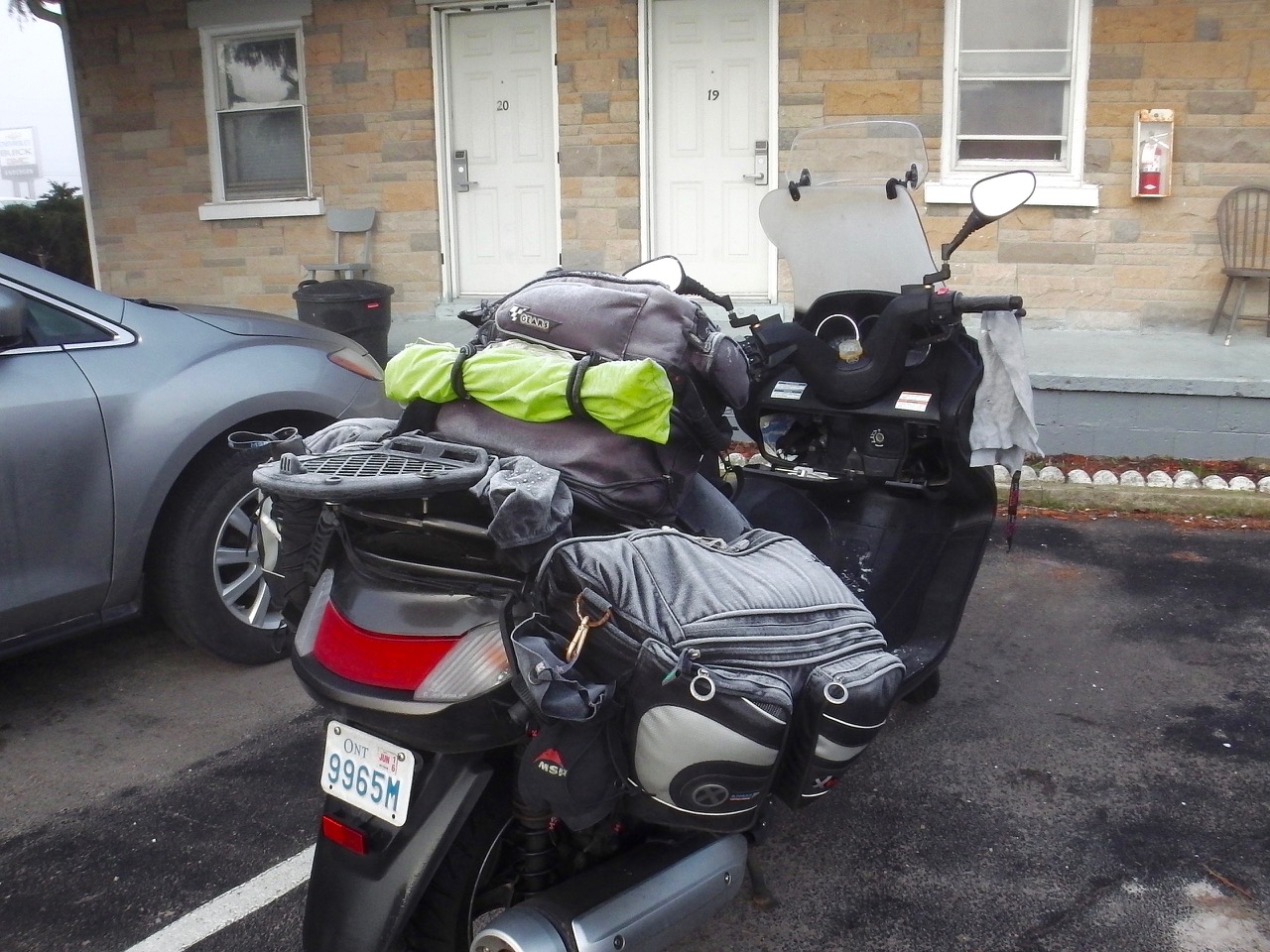
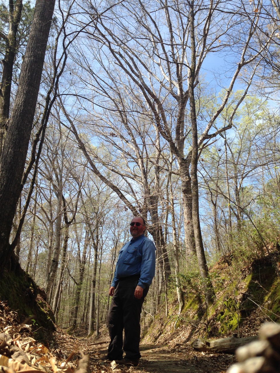
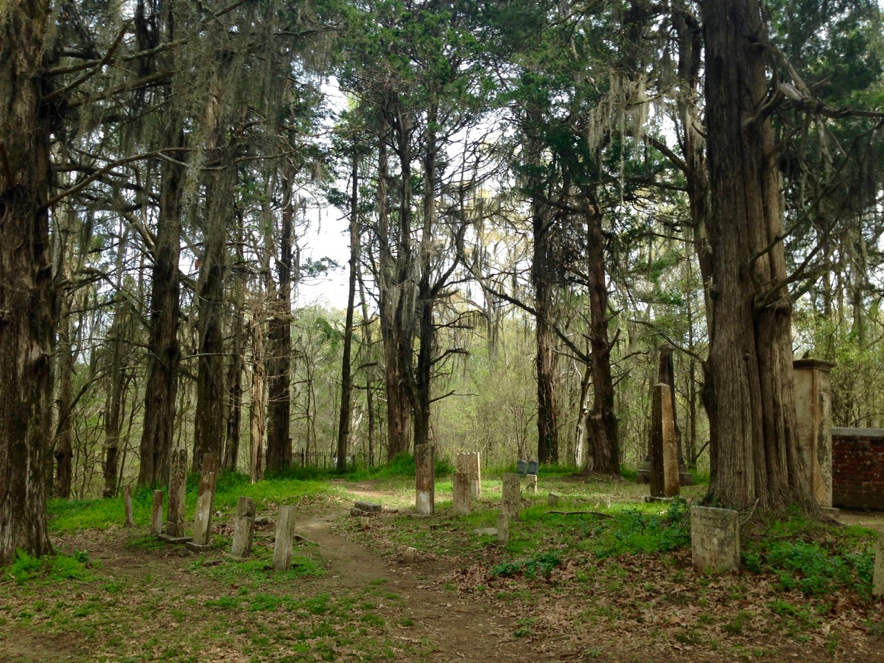
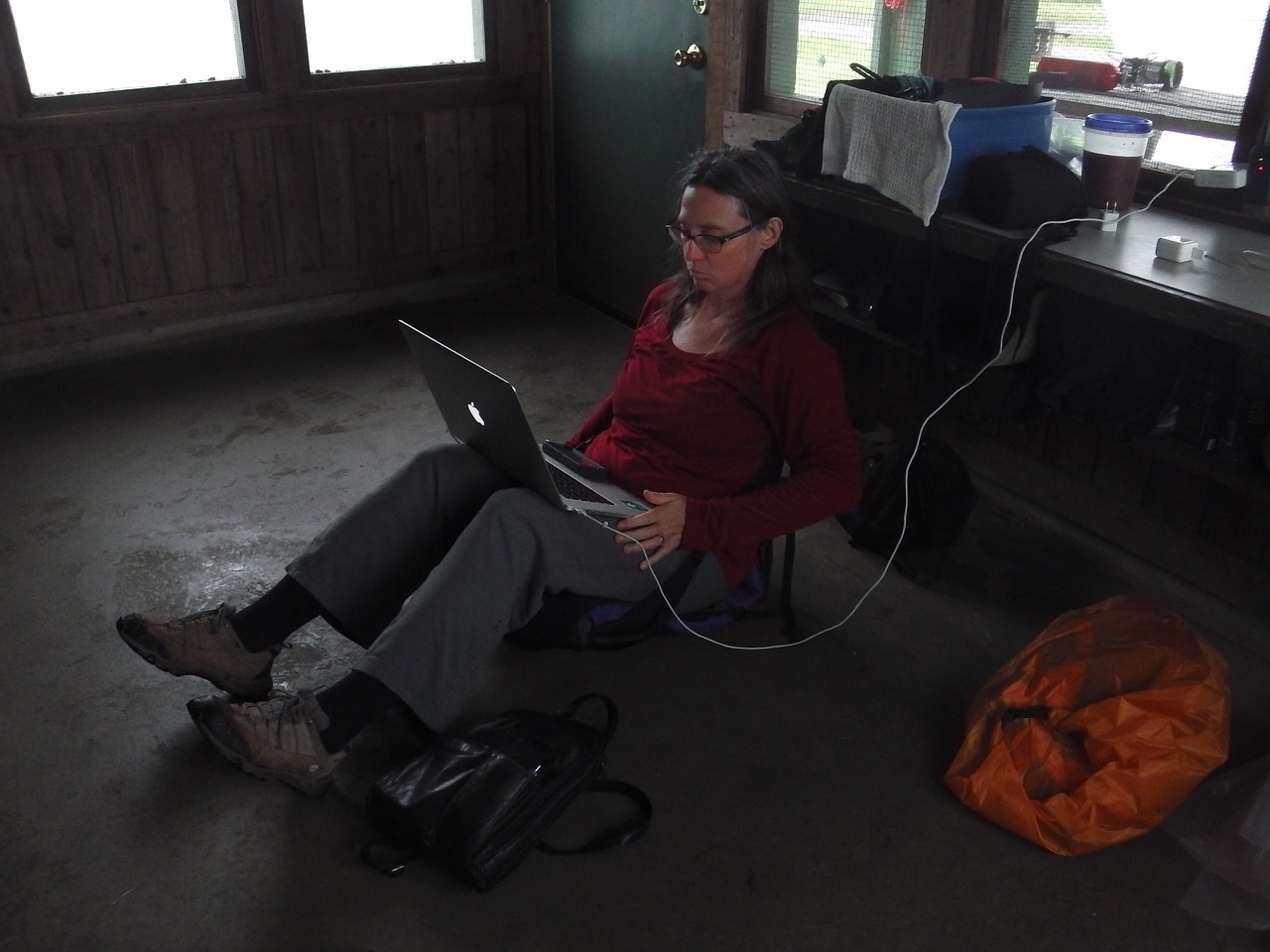
We pulled out early and headed north. We had to say goodbye to the Trace, but we still managed to find some fun secondary highways on our way to our next stop at Vincennes, Indiana. We found a cheap motel, talked with Donna (always great), ate some leftover pizza, and headed to bed. The next day we were up early and hit the road once again.
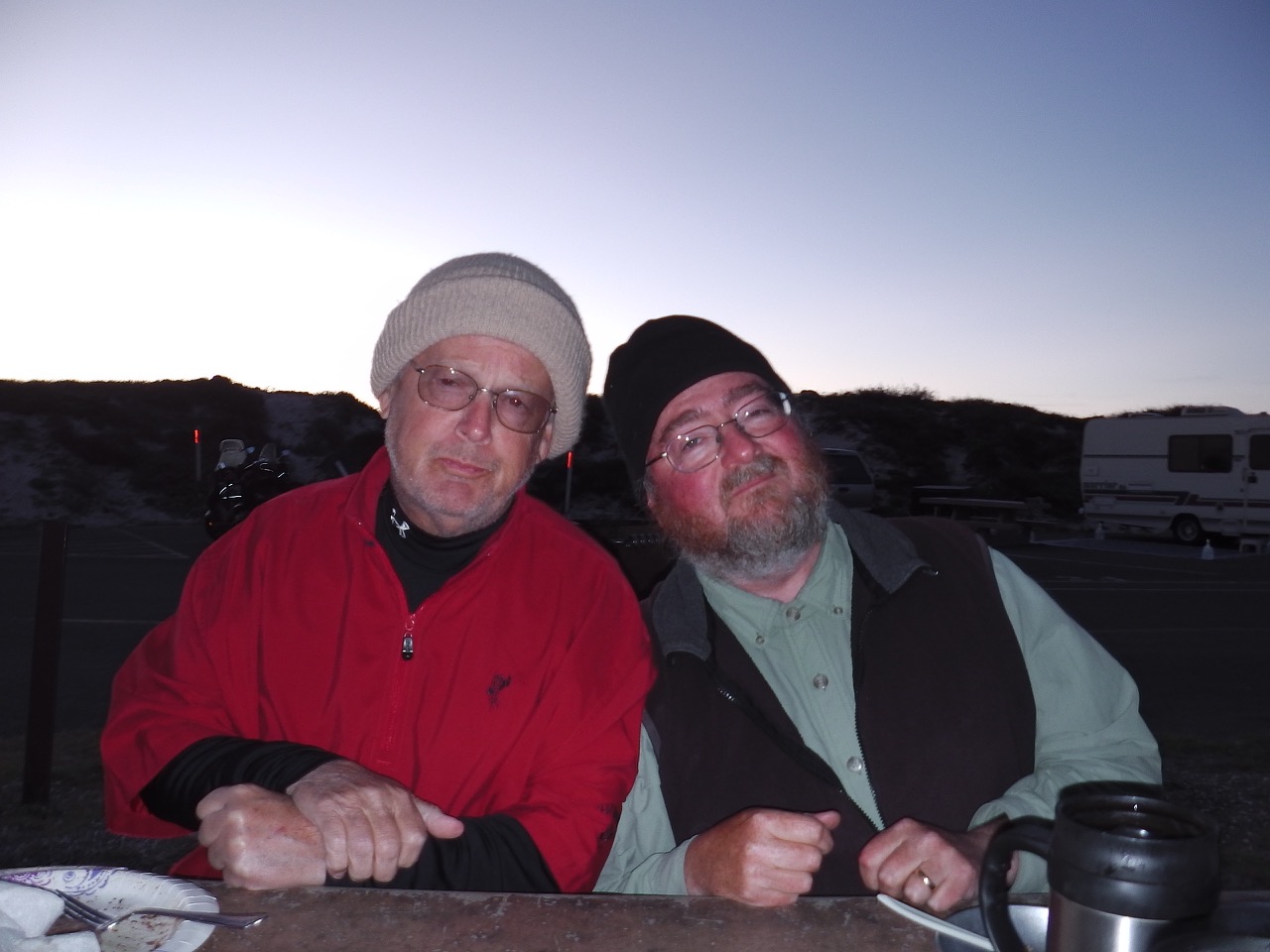
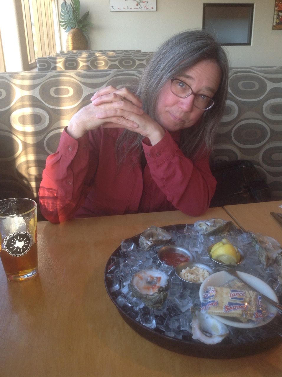
This day was another windy and cold driving day. After many hours (too many) we arrived at Huntington, Indiana. It was difficult, but we were now within a hard day’s drive to Windsor. We deserved a just reward:

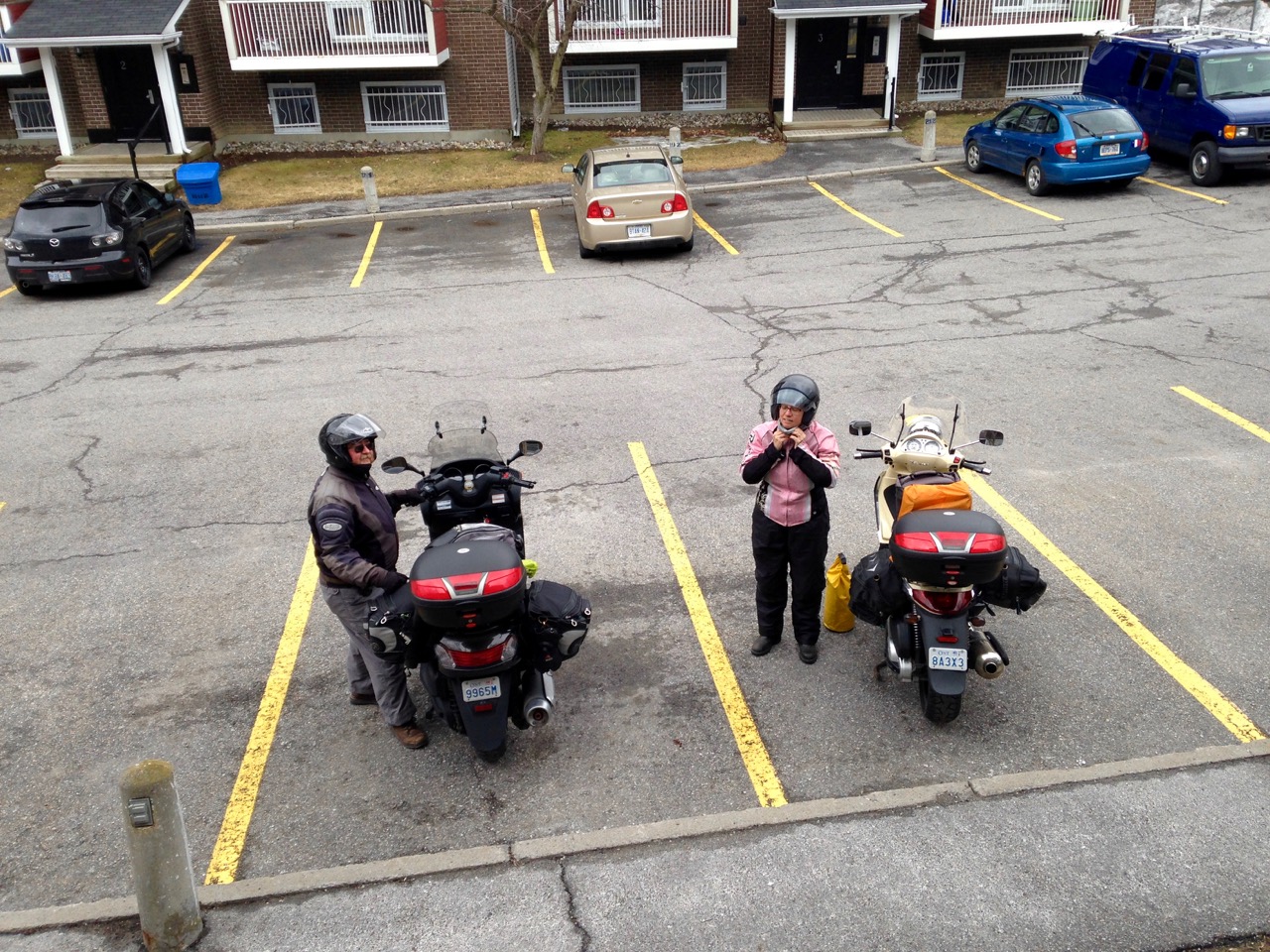
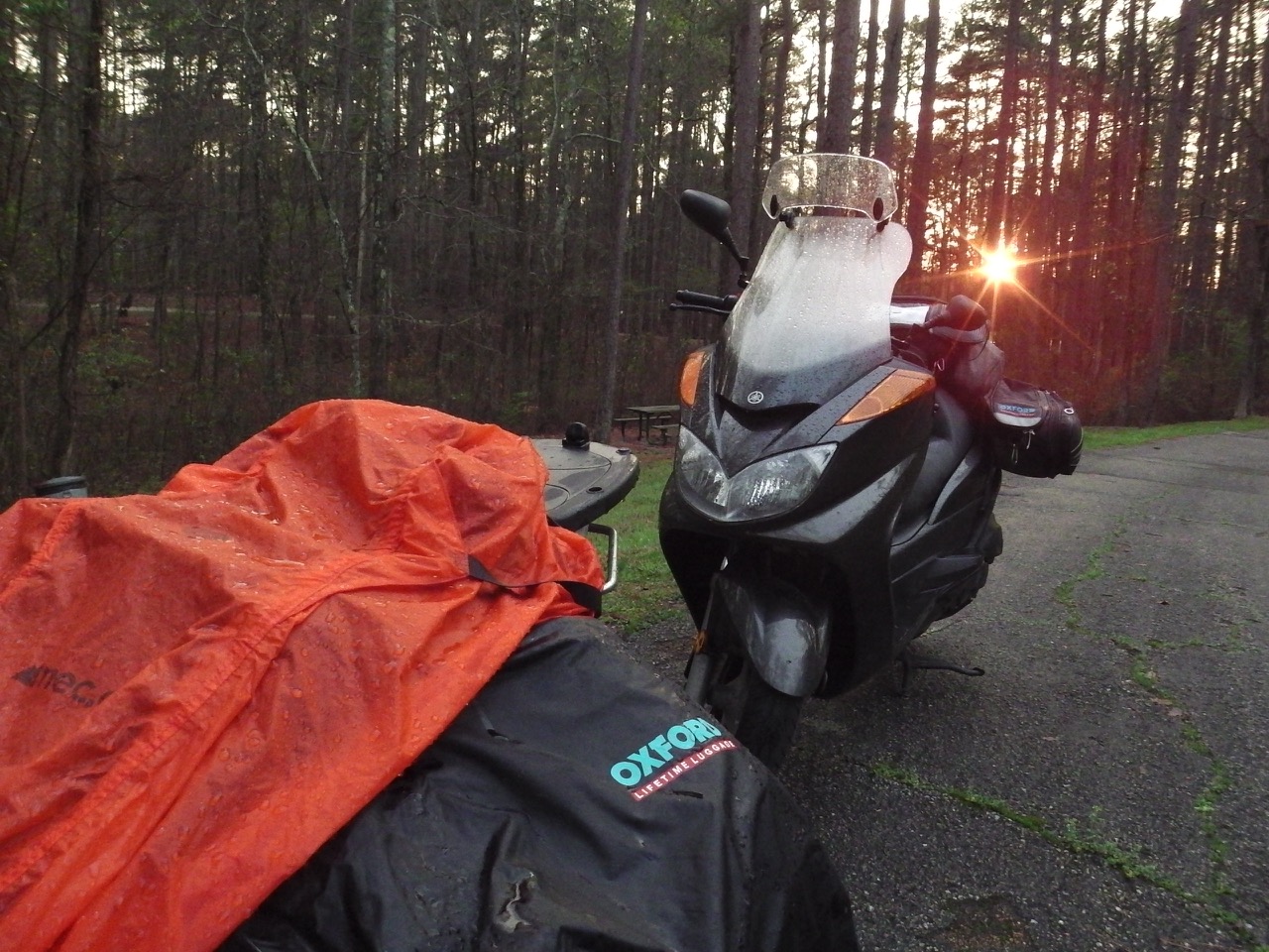
Our final day in the USA would turn out to be the hardest of our entire trip. Getting up and off early once again, we headed towards Detroit and Windsor. As usual, we were avoiding the bigger cities, so Ann (her lead day) charted a route around Fort Wayne and Toledo. We left in relatively benign conditions, but by early afternoon the approaching storm was really starting to be felt.
Temperatures dropped from 15ºC to 11, then 9 and finally 6ºC. The wind whipped up to a frenzy, and rain was threatening. But we had to get across the border today. We knew we’d have to hunker down for days to let the full storm pass, and if we didn’t reach Canada today we’d be in the US past our healthcare deadline. So press on we did.
Ann managed to navigate us all the way through to downtown Detroit, with only one small tumble of her bike to add a bit of excitement to the day. But here’s where the best laid plans fell apart.
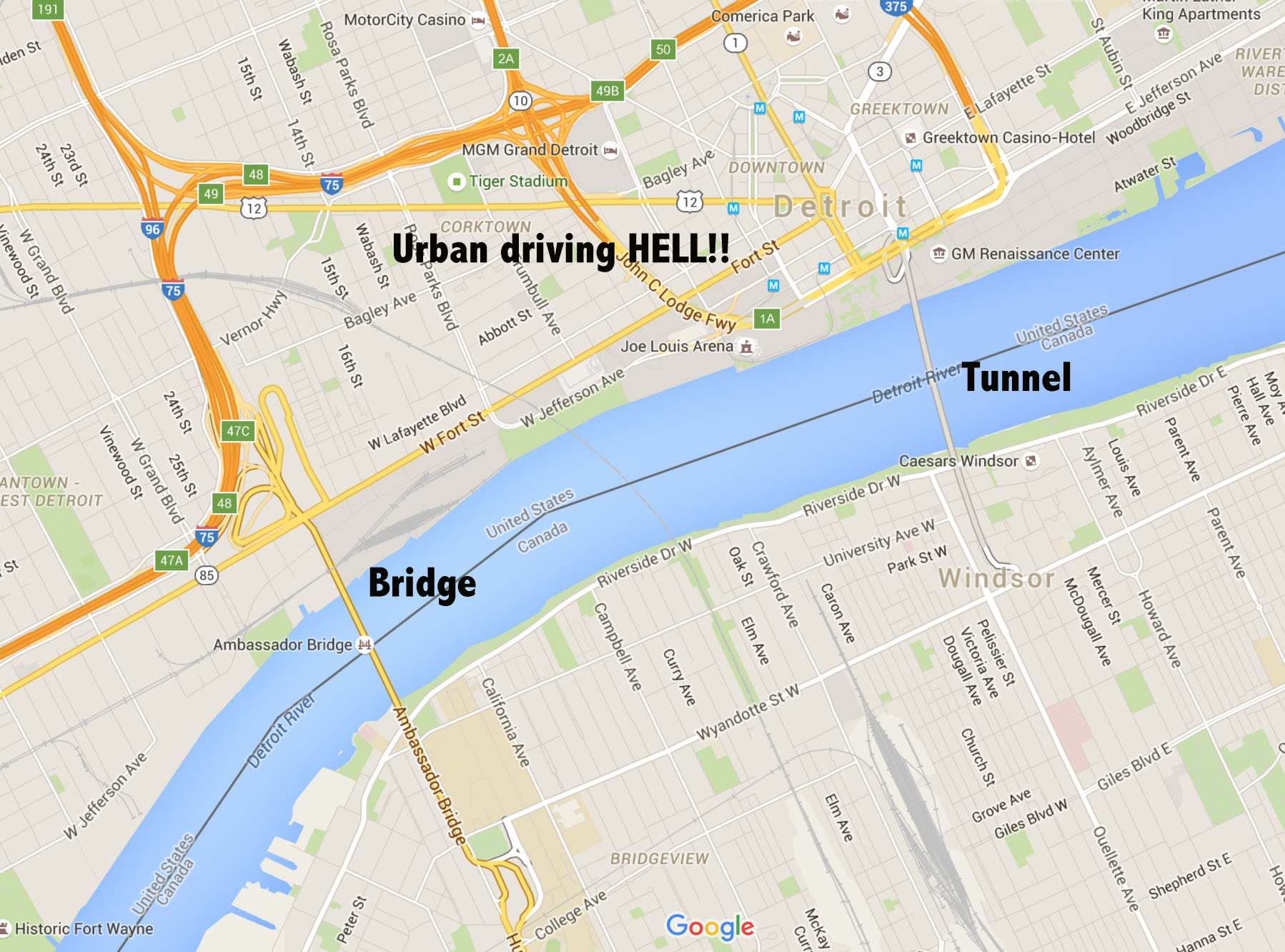
There are two ways to cross from Detroit over to Windsor. The most common route is the massive, and very busy Ambassador Bridge. This toll bridge is the busiest international border crossing in North America. It climbs 150 feet above the Detroit River, and is thick with speeding cars and hundreds of transport trucks. Needless to say, we did not want to go this way.
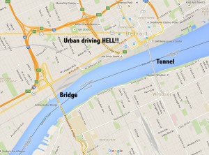 The second crossing option is the Detroit-Windsor Tunnel, which actually goes under the Detroit River. I had taken this crossing some years ago when driving a rental car back from looking at a potential boat. I knew it was much smaller and friendlier than the Bridge, so this was the crossing for us. The only hard part was finding the access point, which is right in the middle of downtown Detroit. But with Ann’s impeccable navigation, we made it.
Getting to the tunnel was a relief — which quickly turned to horror. Coming up to the toll gate we found a big ugly sign that said MOTORCYCLES PROHIBITED. What the F&@%@!!! We were turned around and sent back into the now drizzling streets of downtown Detroit.
Our only way across was now the Bridge … but we didn’t even know how to get there. And the temperatures were falling fast. And the rain was starting. And we were both kinda frazzled…
Well, as you can guess. We found our way back onto the highway (again, thanks to Ann’s navigational skills), found the bridge entrance, paid our toll (which was cut in 1/2 by a friendly toll operator who only charged us for one vehicle), and drove across this crazy bridge. We were hemmed in by massive transports and whizzing cars who obviously crossed the bridge all the time. But we finally got to Canada Customs, and prepared for the ordeal.
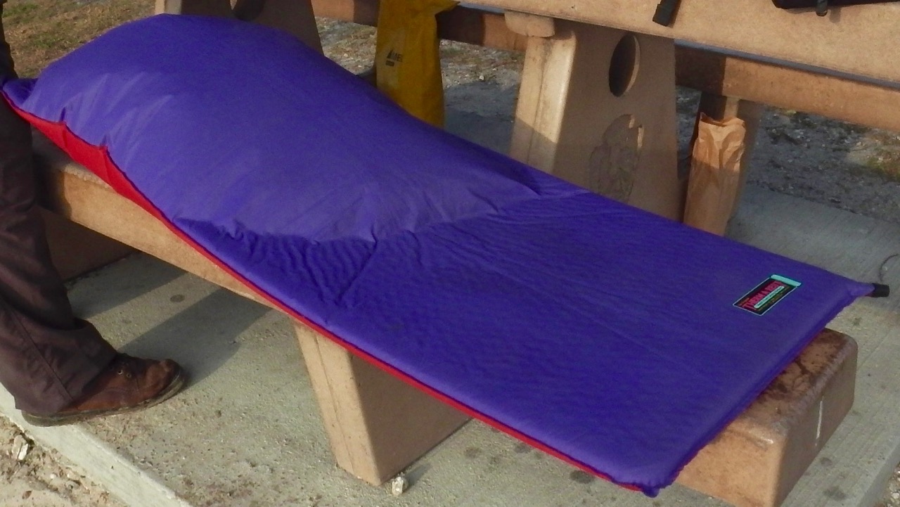
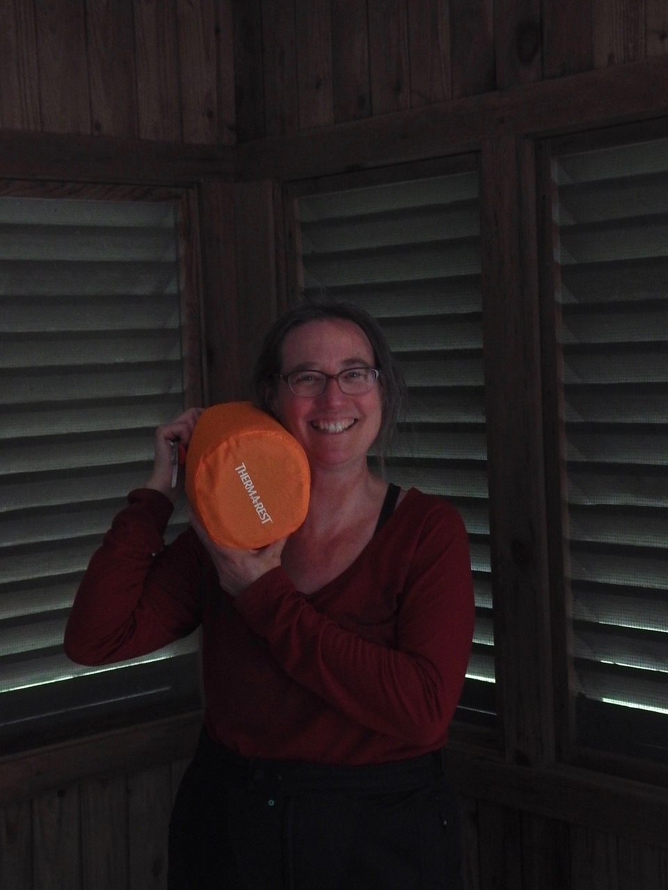
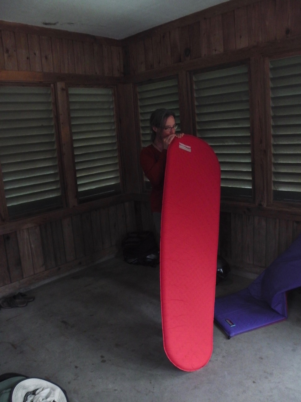
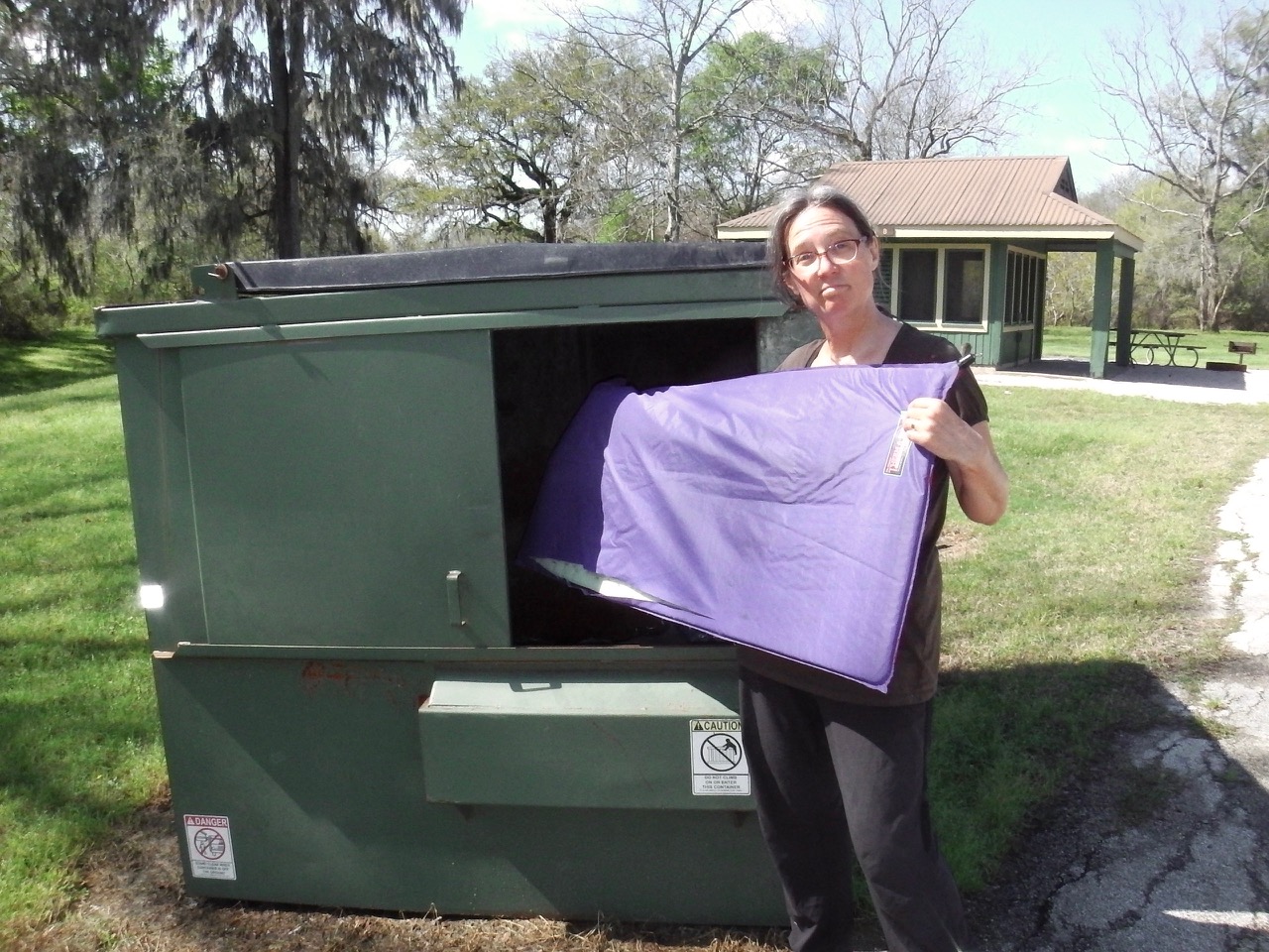
We’d been gone since November, with a brief return over X-mas. In that time we’d accumulated exactly one sleeping pad (to replace Ann’s dead one) and a roadrunner trinket from Mexico. Normally people would be bringing back piles of crap after such an extended trip. This was going to be interesting…
Ann went first. She stopped, turned off her bike, started talking to the guard, rolled the bike back and forth, talked some more… at this point I thought she was going to be dragged off to the back room. But then she started up her bike, smiled back at me, and drove off. I moved up.
“Hi there,” says I. “I’m with her.”
“Yes, I know,” says the obviously bored guard. “Anything to declare? Did you buy anything?”
“Hmm, me? No. Well, I did buy a lot of booze along the way, but I drank it all,” says I, trying to be funny.
“So, do you have any alcohol with you or not?” he says.
“Errrr, no sir.”
“OK, then go on.”
What? Wait?!? I had my whole story rehersed. I was ready to tell him about our grand journey, about all the neat places we’d been. About how beautiful the USA is.
…nuthin’.
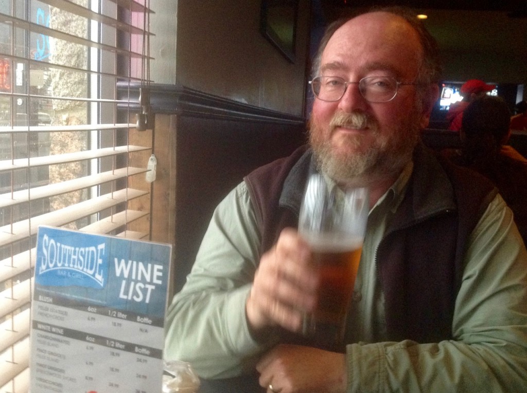
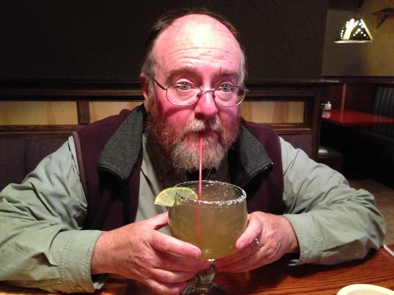
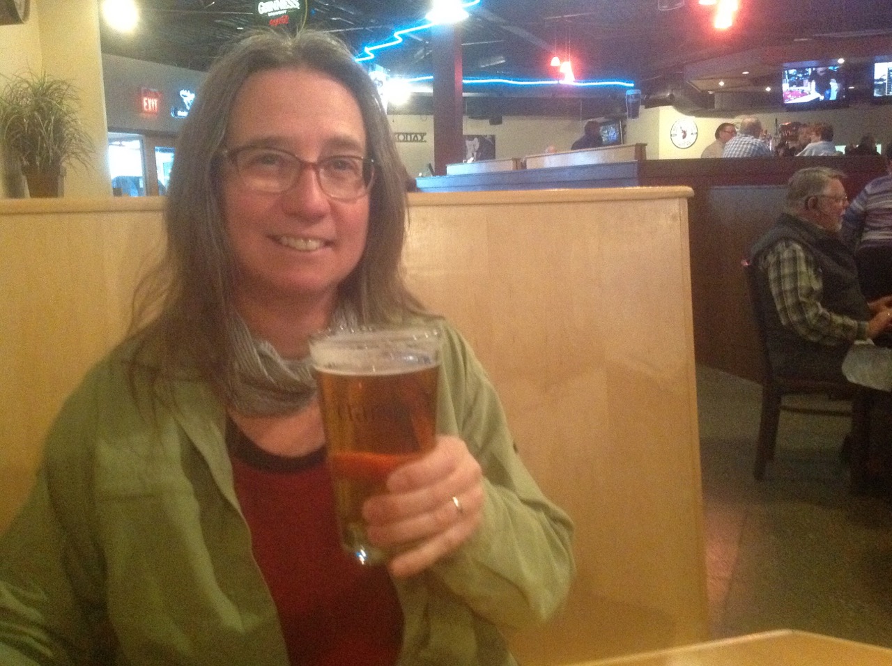
I found Ann waiting on the other side. We did a quick map check to find our hotel, then headed off for a much needed dinner:

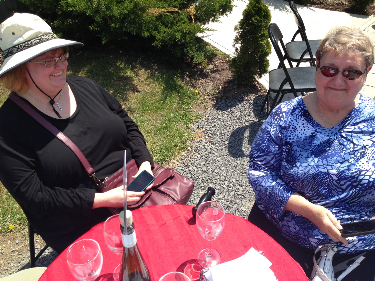
That night and the following day the storm hit as predicted, with cold temperatures and rain that was on the verge of freezing.
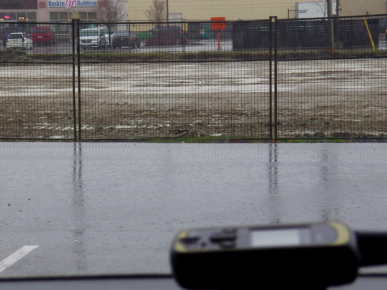
Fortunately for us, this most southerly corner of Ontario only got heavy rain, but slightly further north and east (exactly where we want to go) the rain turned to heavy freezing rain. Reports of over 100,000 homes losing power in the Toronto area have come in. Roads are impassible, especially for our little bikes. But the storm is moving east, so hopefully things will dry out enough so we can carry on tomorrow.
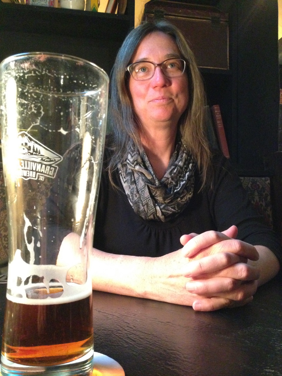
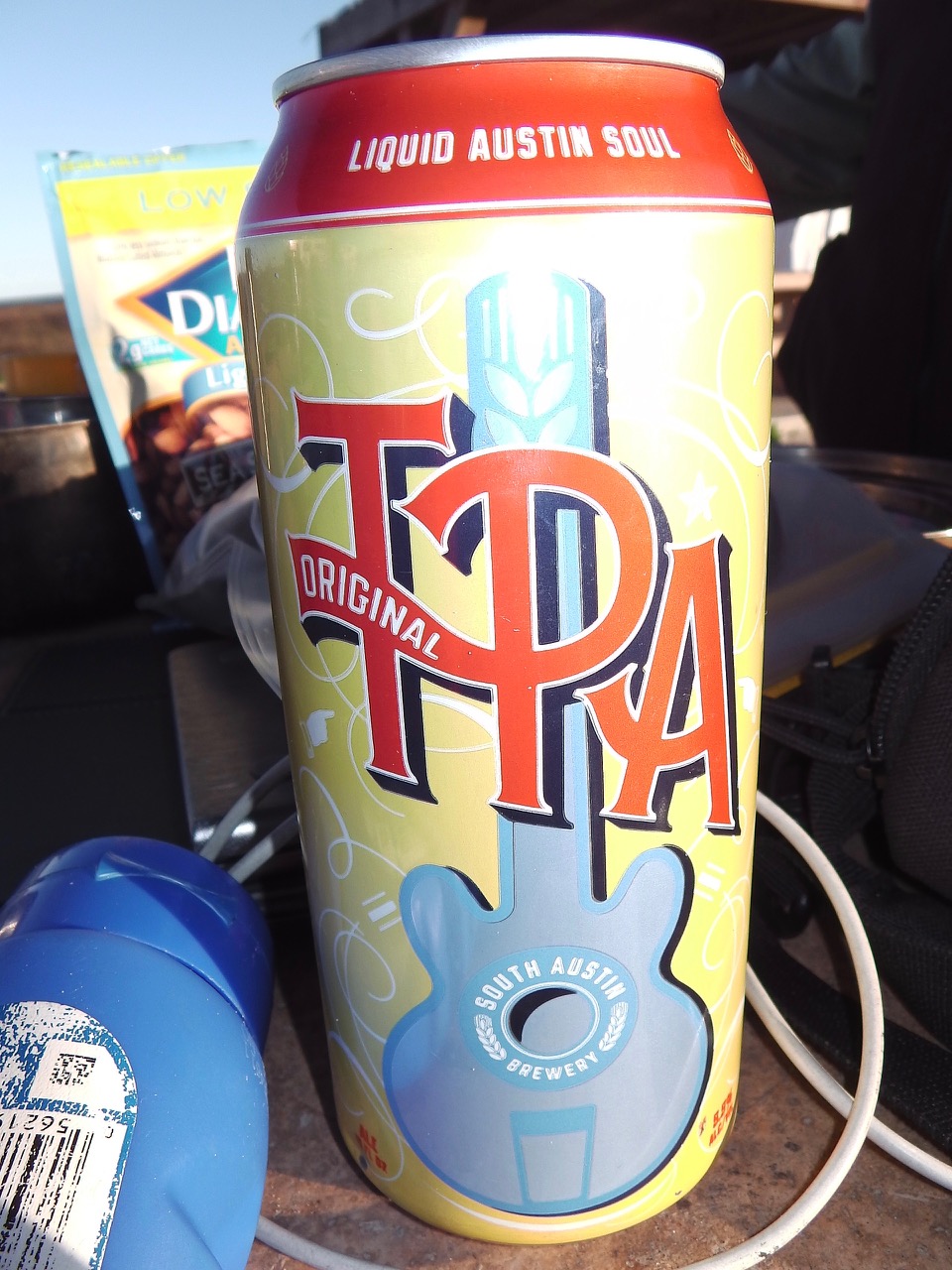
In the meantime, the hotel has a nice small pub with local IPA on tap, so I’m happy!
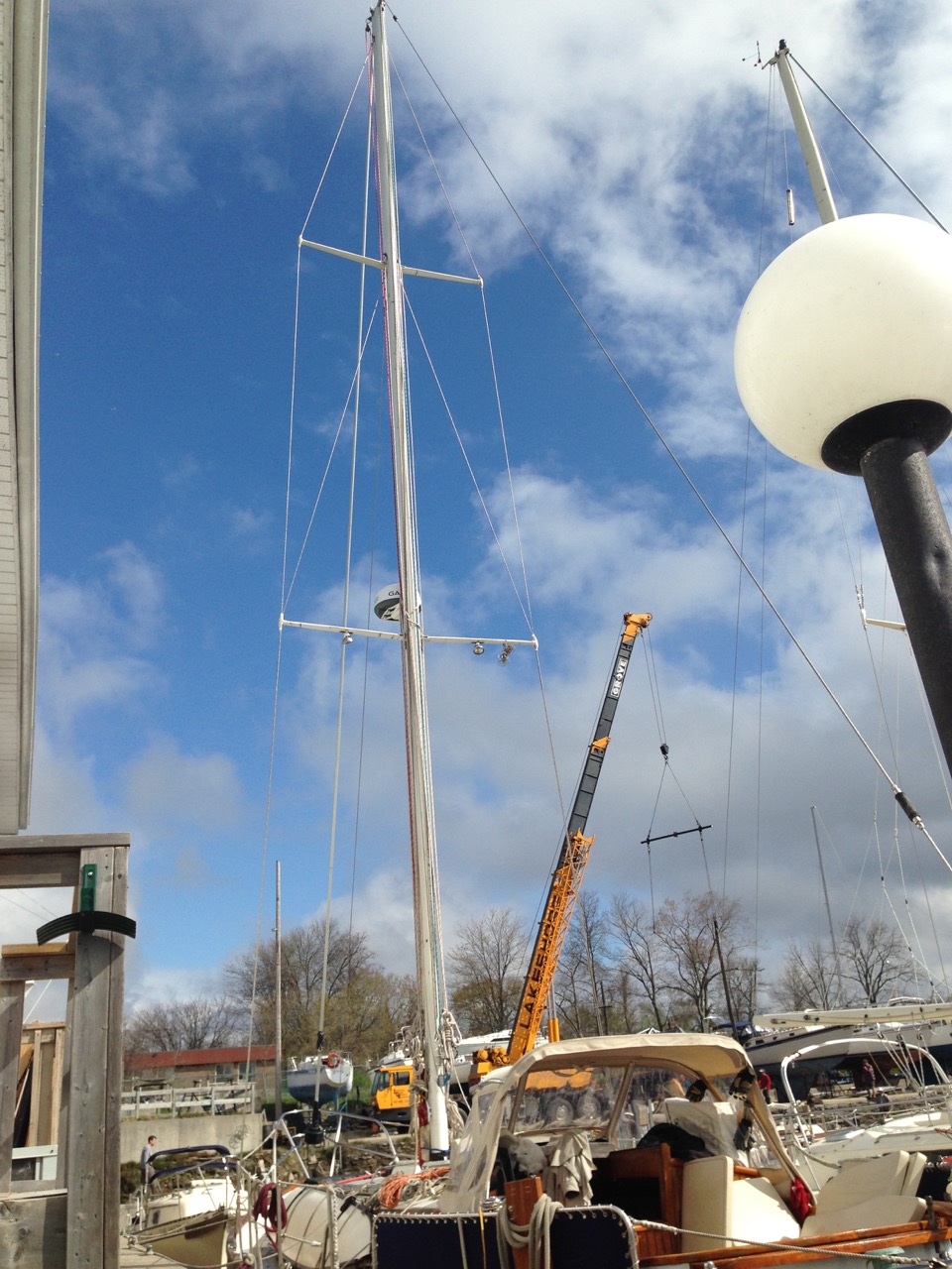
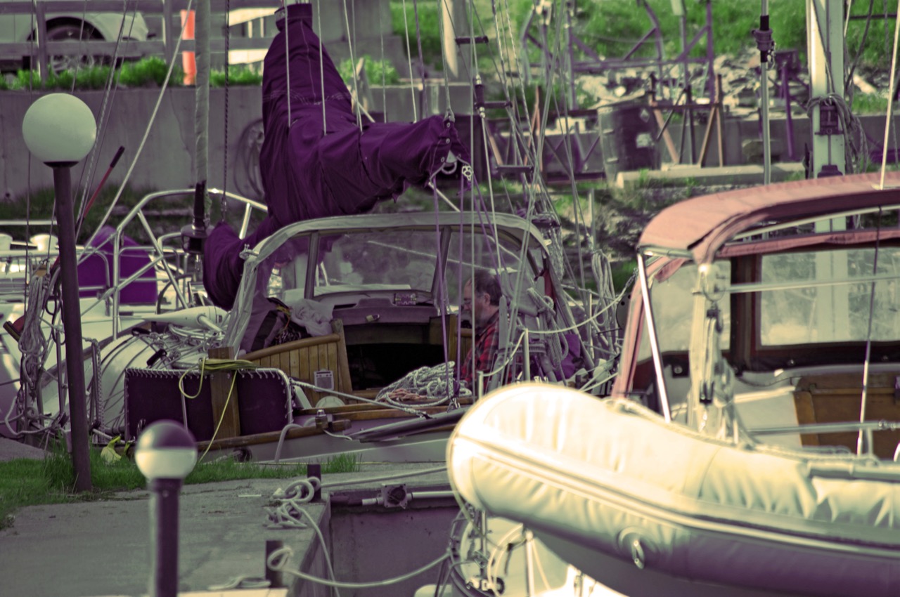
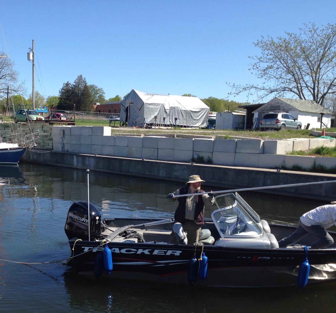
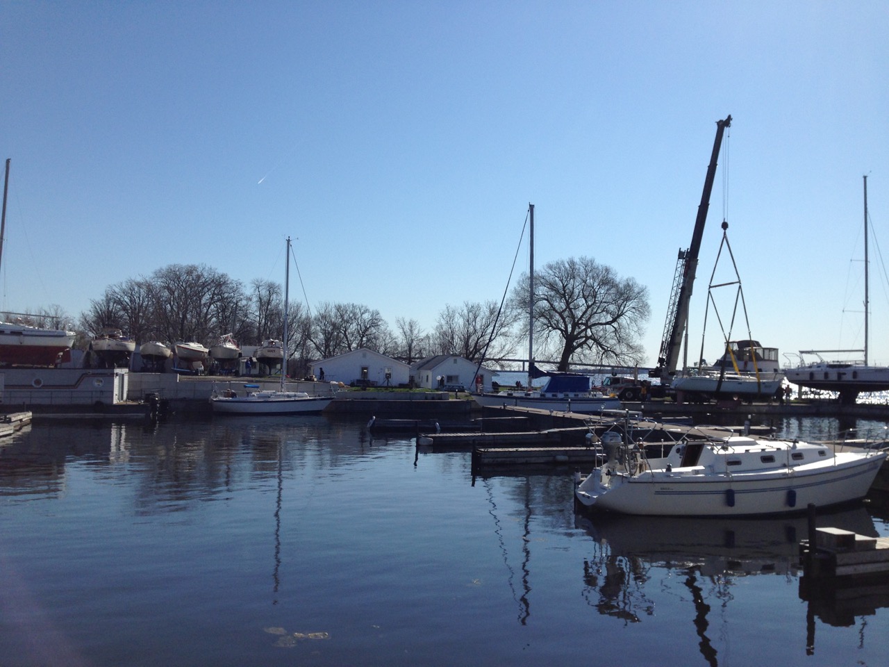
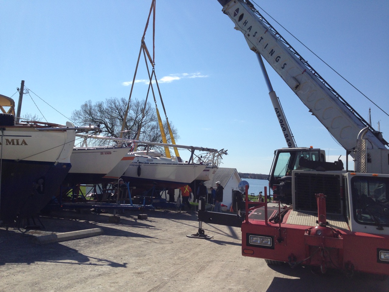
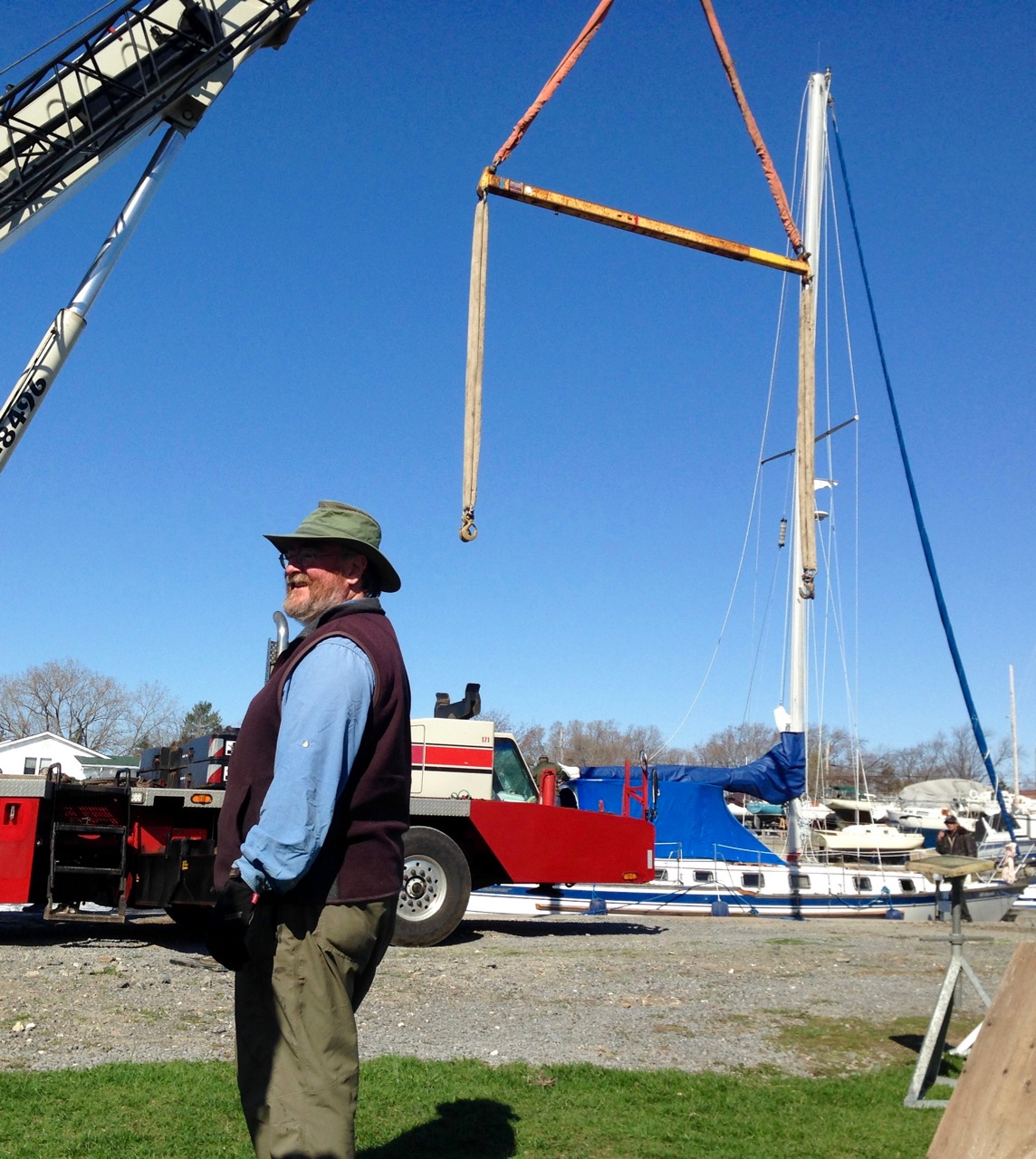
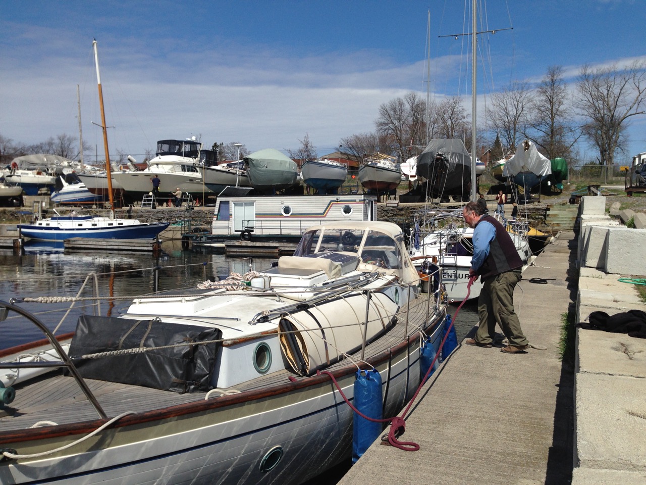
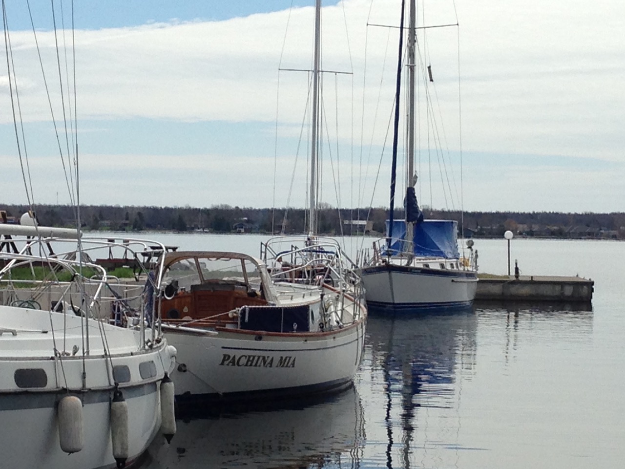
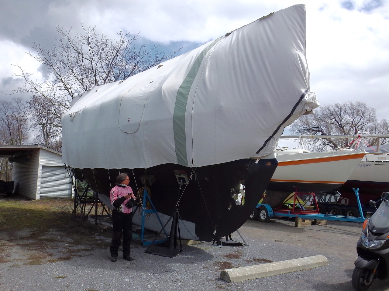
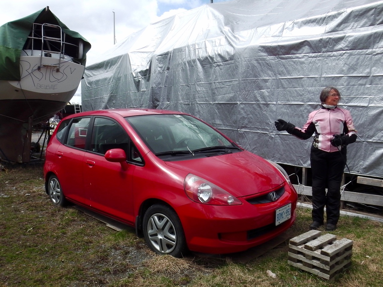
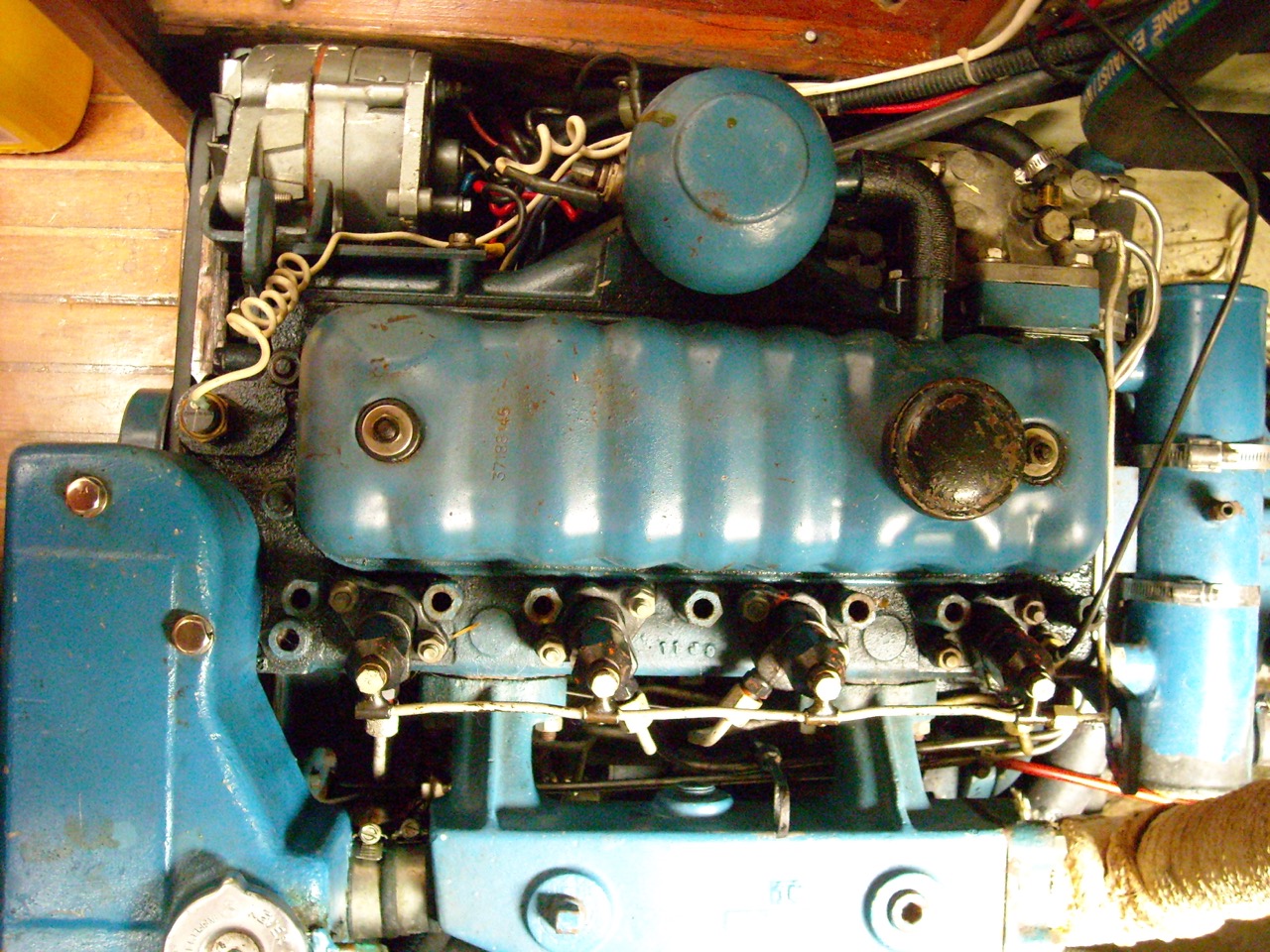 After over a month and a 1/2 at the dock we’re close to having everything ready to go … all except the freakin’ engine. We (and when I say “we” I mostly mean our mechanic, Dave) got the beast running smoothly. We thought we were all set, but on the day of the big sea trial we turned the key and… nuthin’. Wouldn’t start.
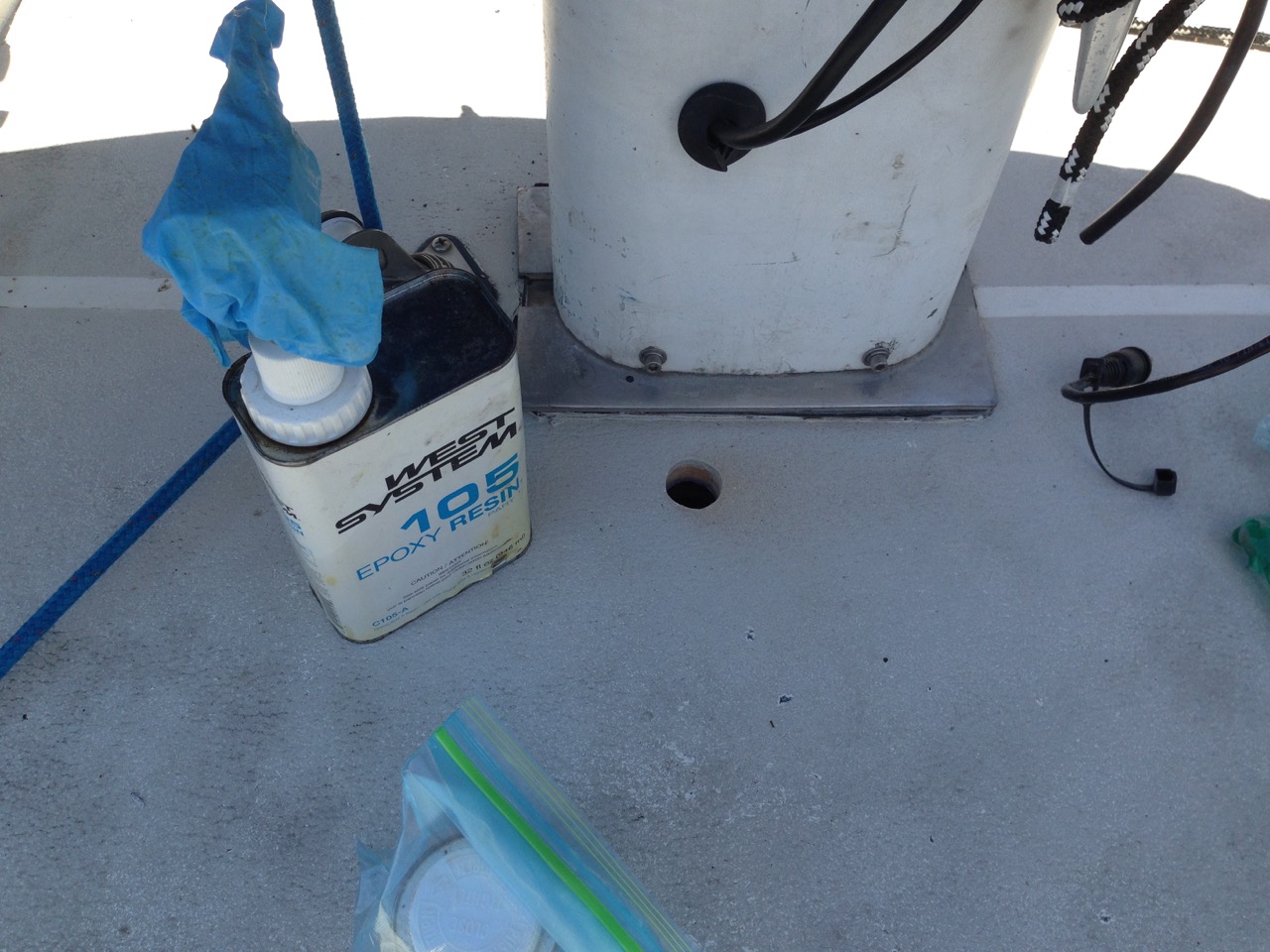
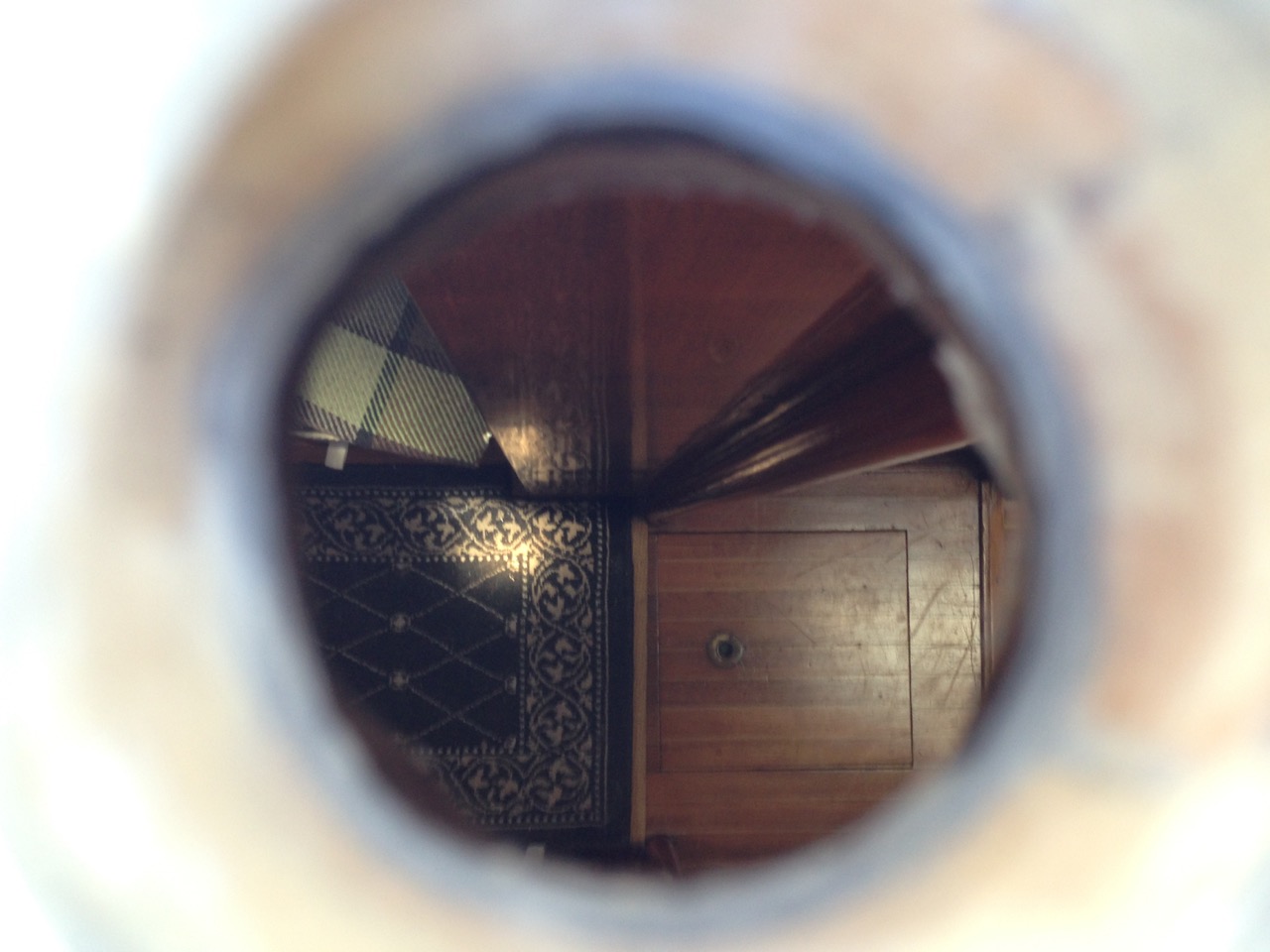
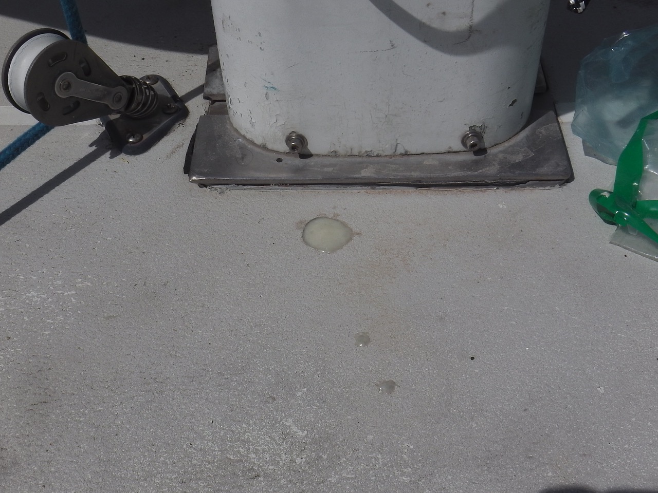
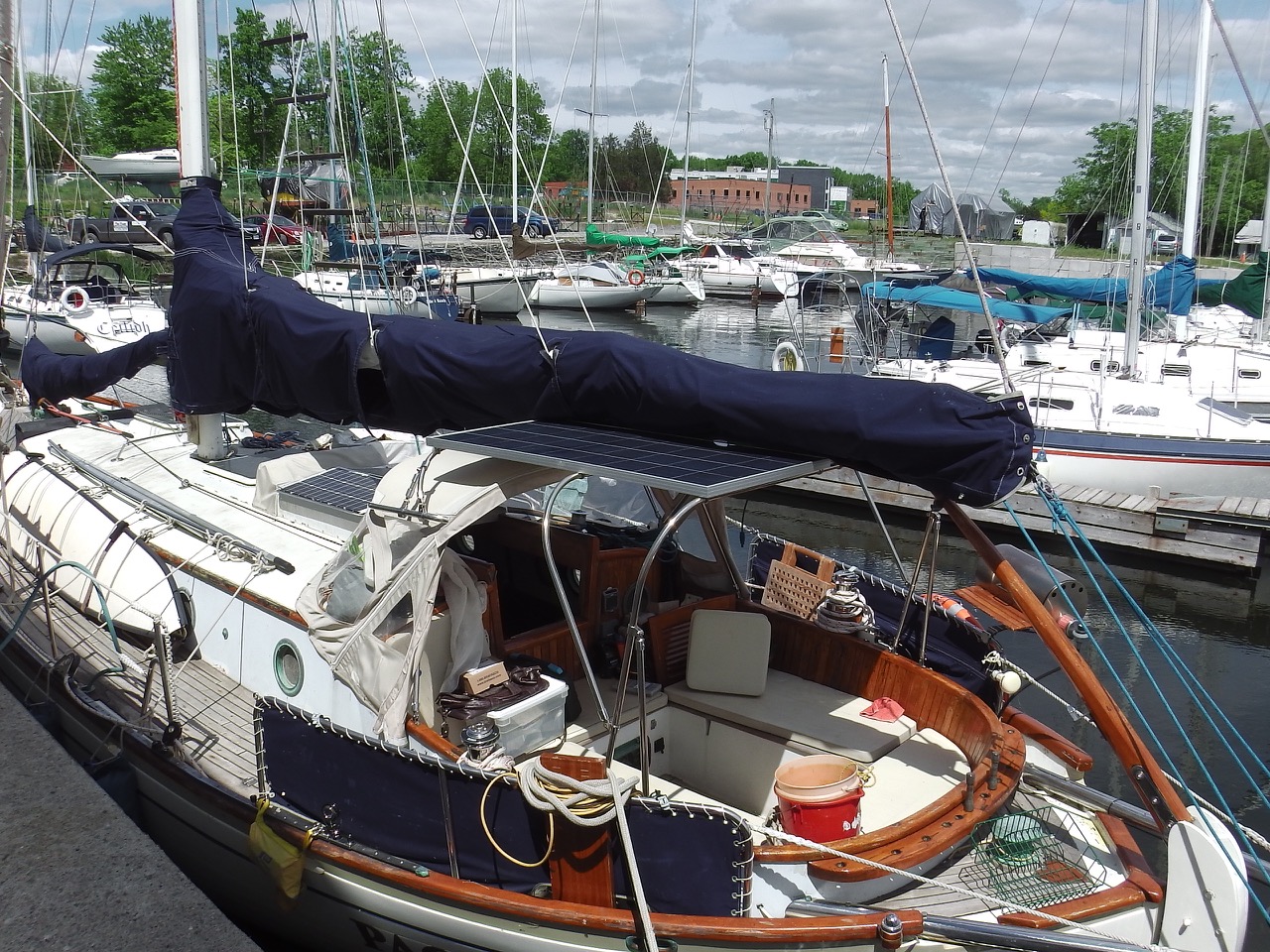
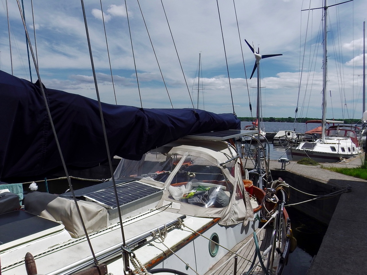
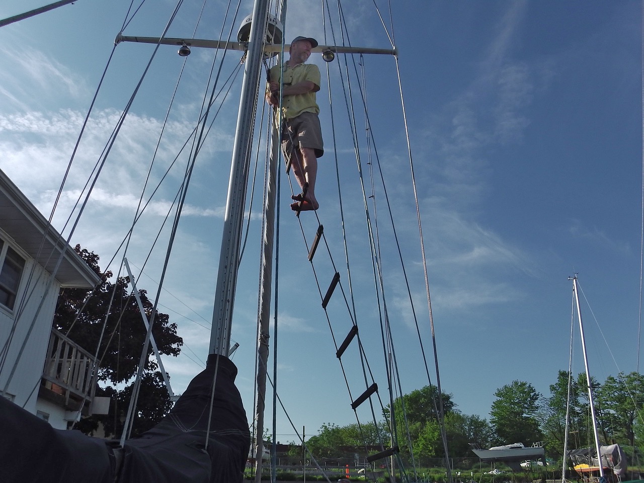
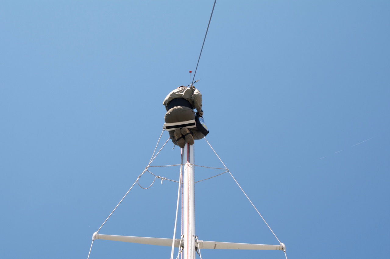
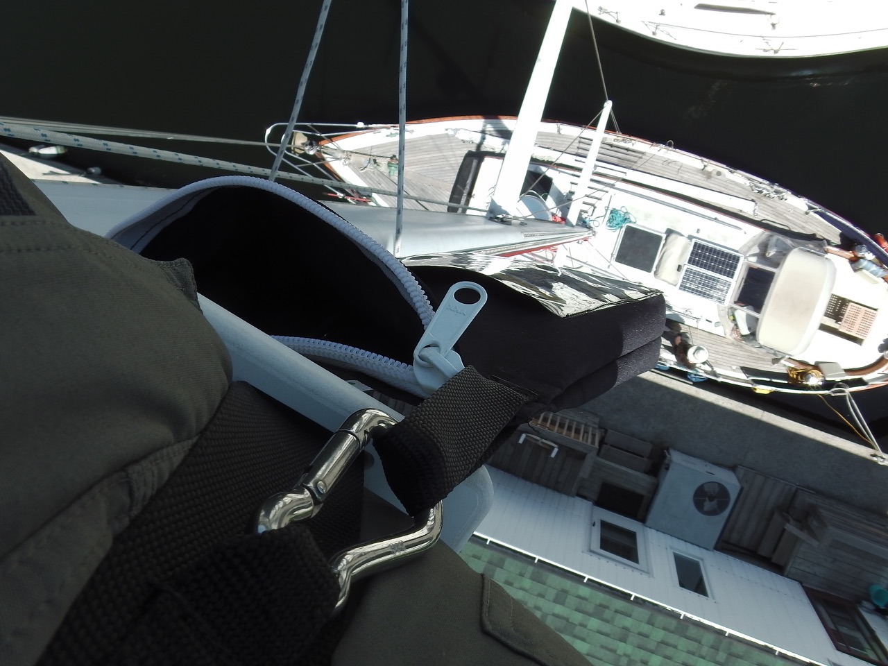
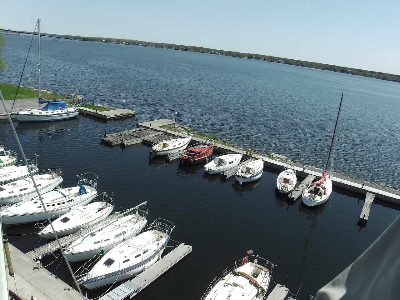
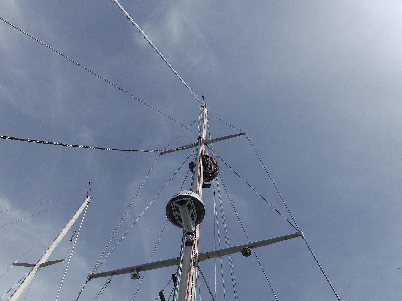
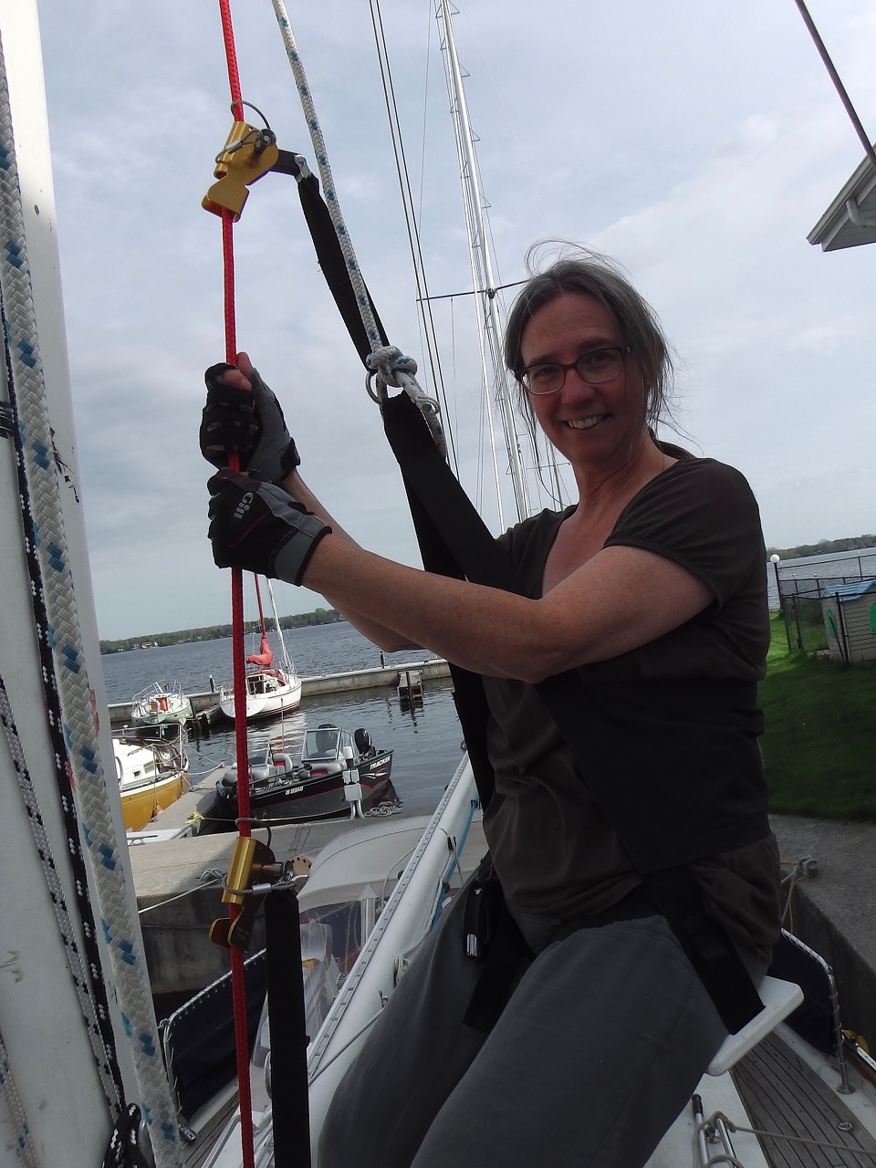
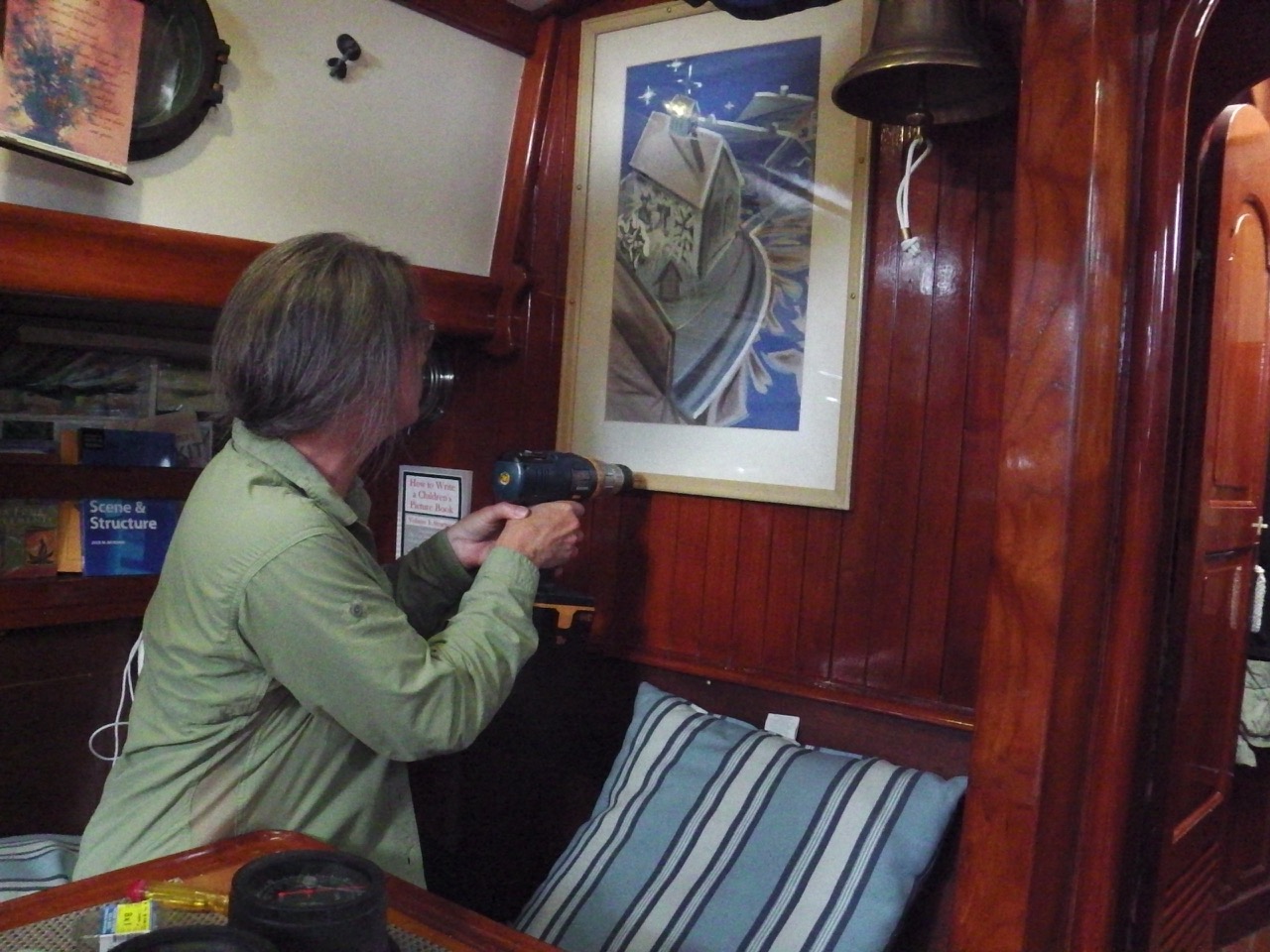
 But it’s not all retrograde motion. We’ve made some great steps forward. Ann tightened the stuffing box, so now we’re sinking a lot slower than before. I got both the gas generator and the outboard engine running, including putting together our dingy and taking it for a spin. I finished wiring the new solar panels, so now we’re generating a lot more power. And Ann got the car into the shop for general service and to fix the odd wobble (it’s fine … they say). I got our composting head fully functional, while Ann set up our boarding ladder and ran some more cable for the radar.
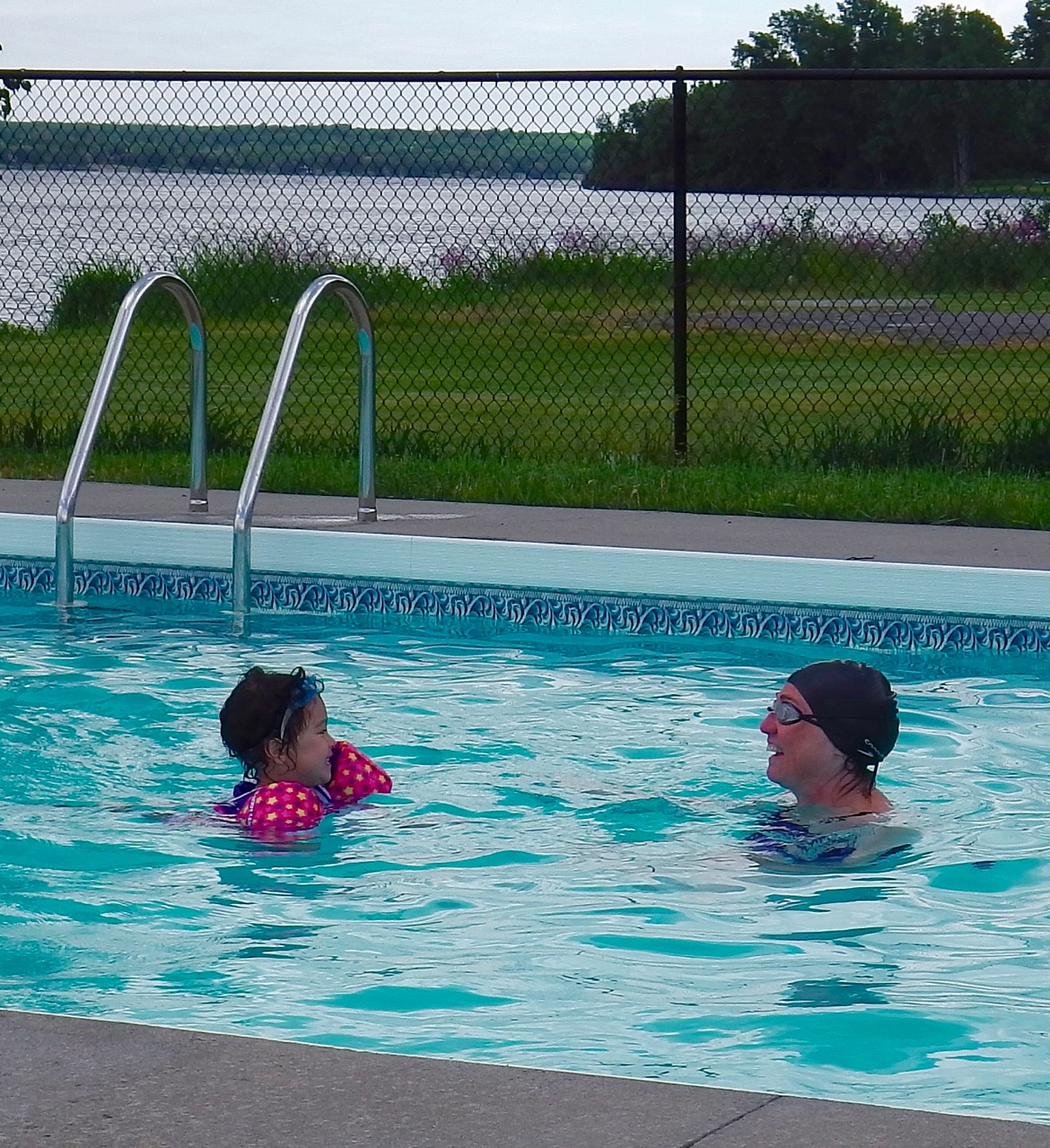
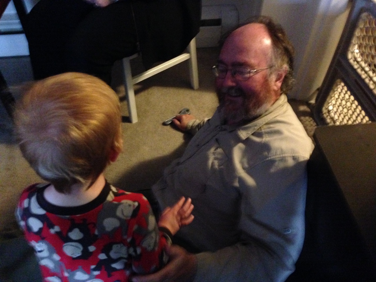
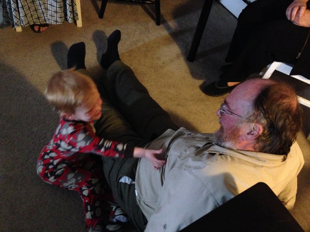
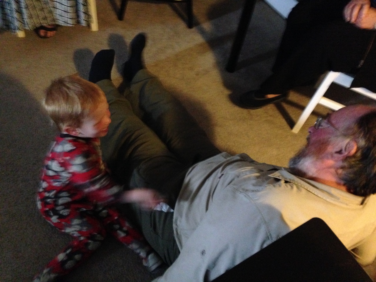
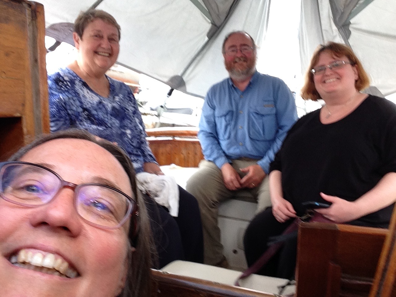
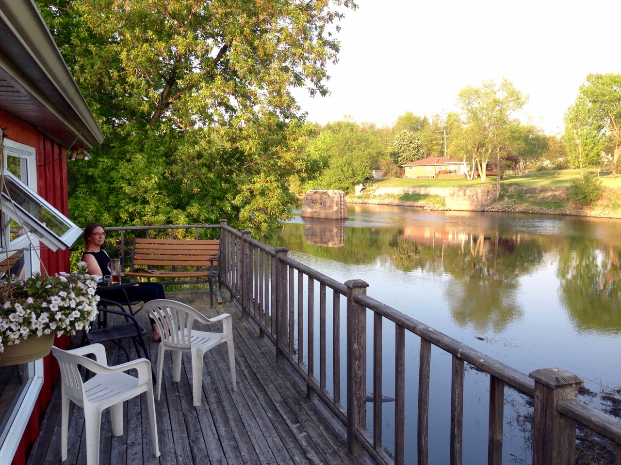
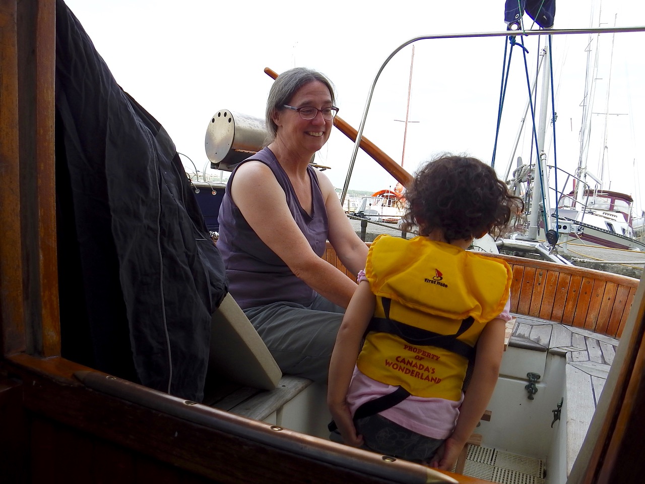
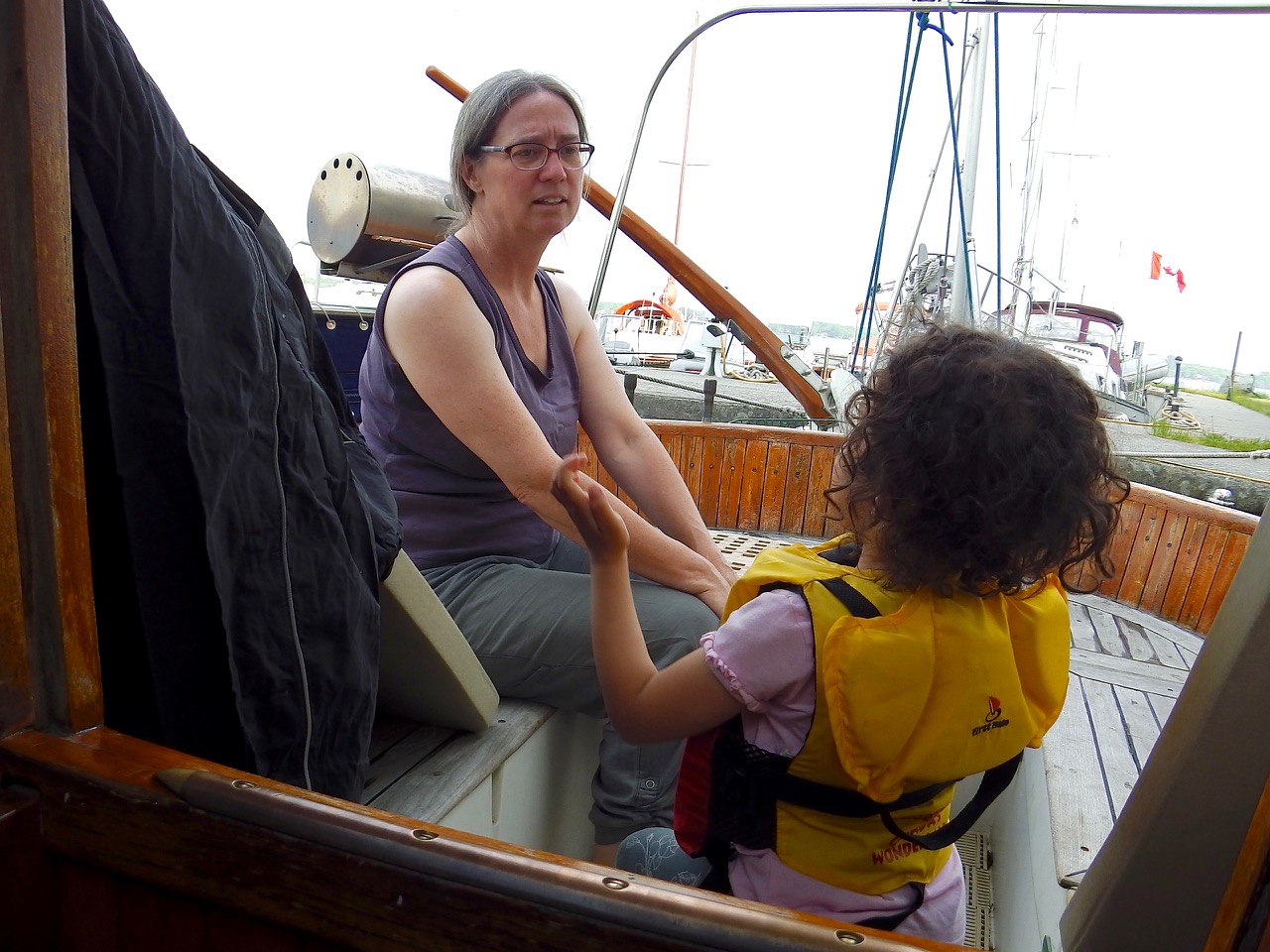
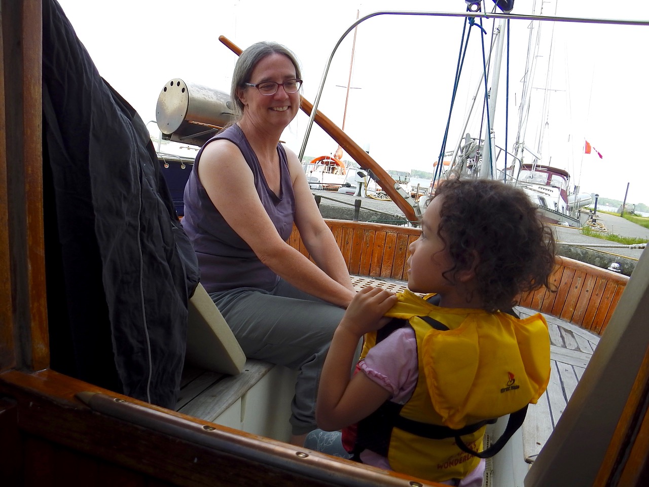
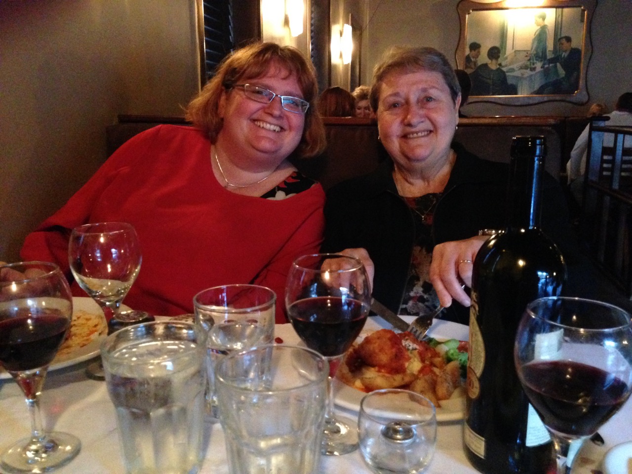
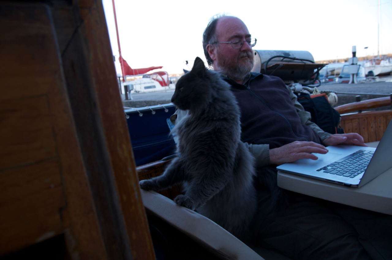
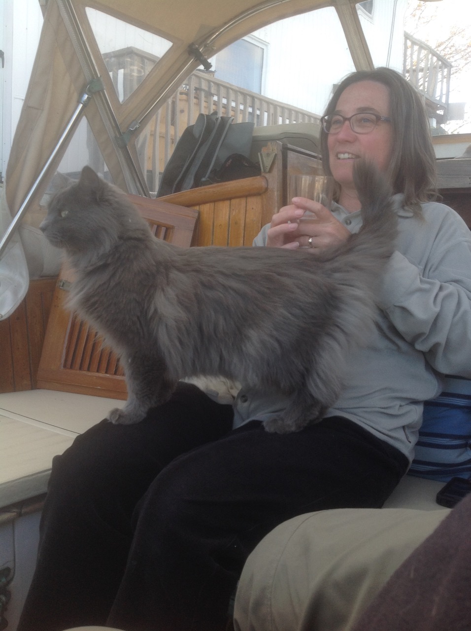
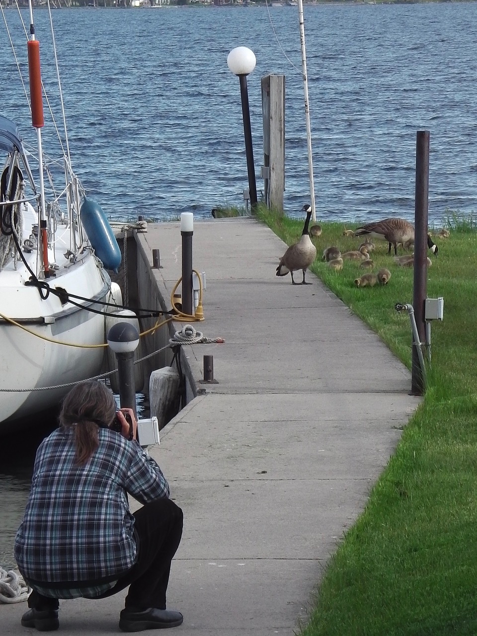
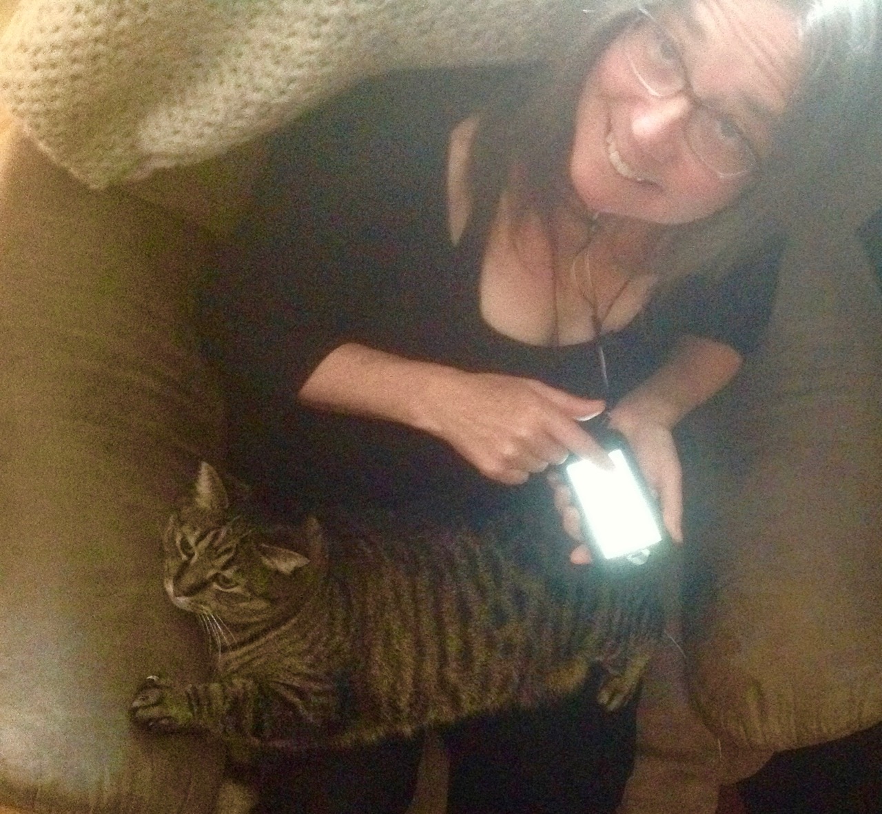
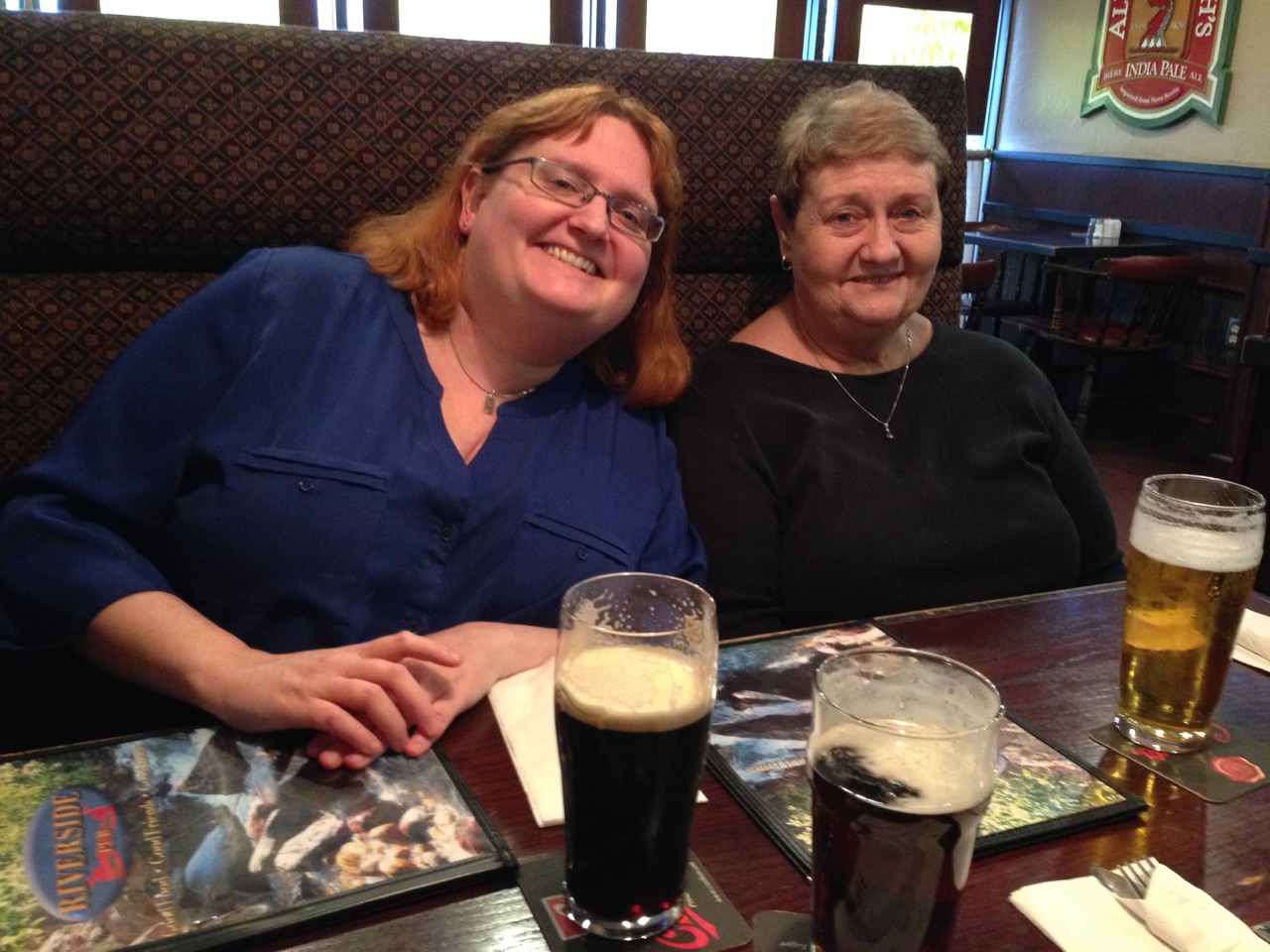
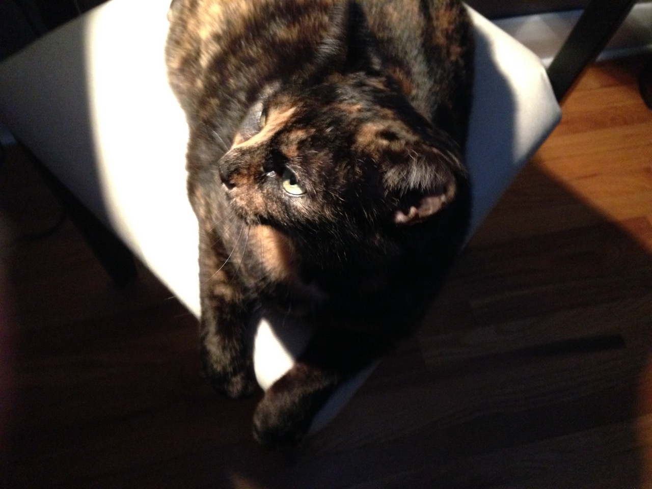
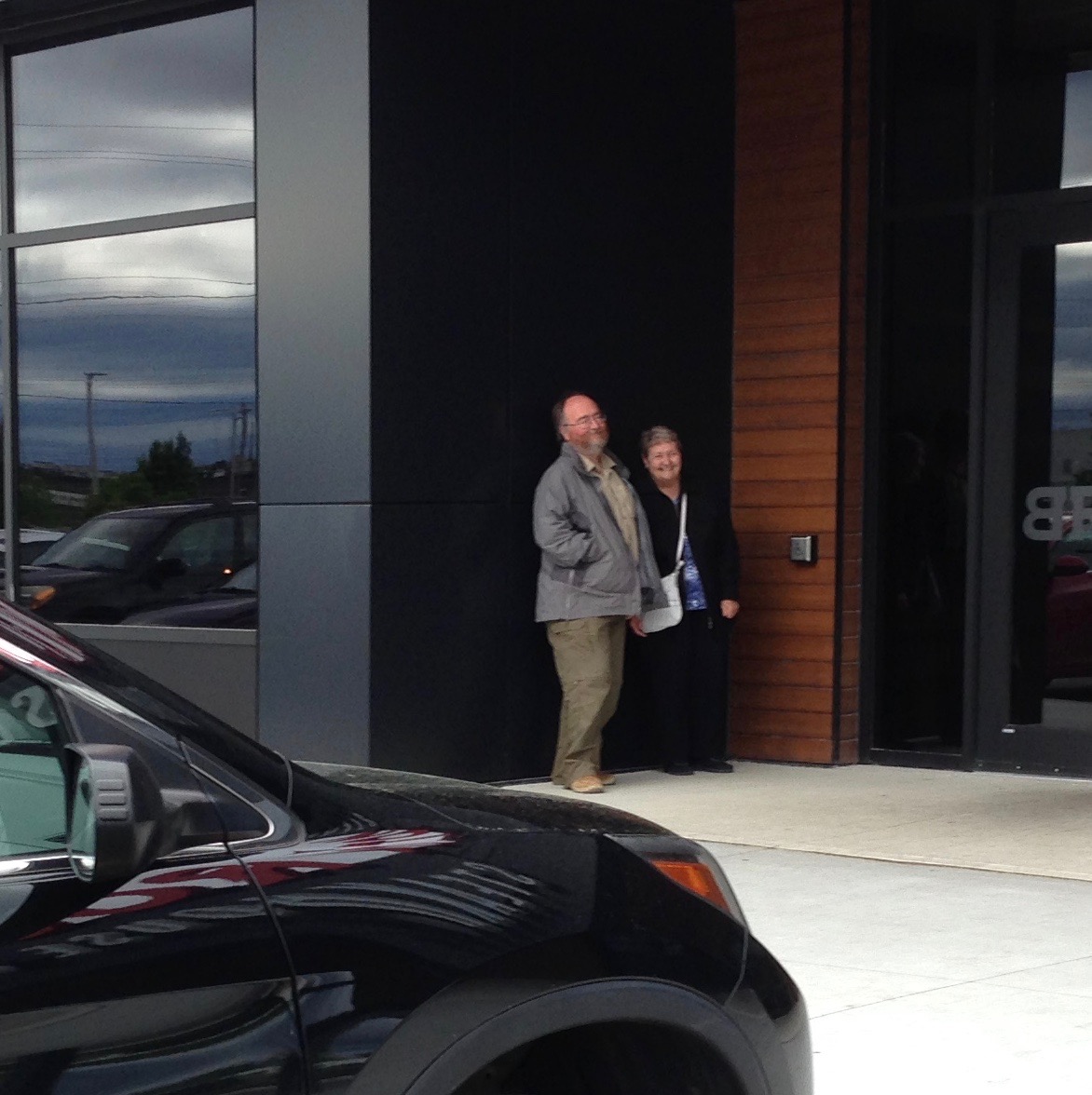 Life on the boat is not all sweat and stress though. Ann’s been giving Maddy the Marina Child swimming lessons, and we had another great visit with Mom and Sis.


