Ahhh, the Trace … finally.
We left our little motel room in Natchez and headed into the Natchez Trace Parkway; a 700+ km roadway that follows the historic path used by Natives, pioneers, settlers and boatmen (Kaintucks) returning home after floating downstream with trade goods. The 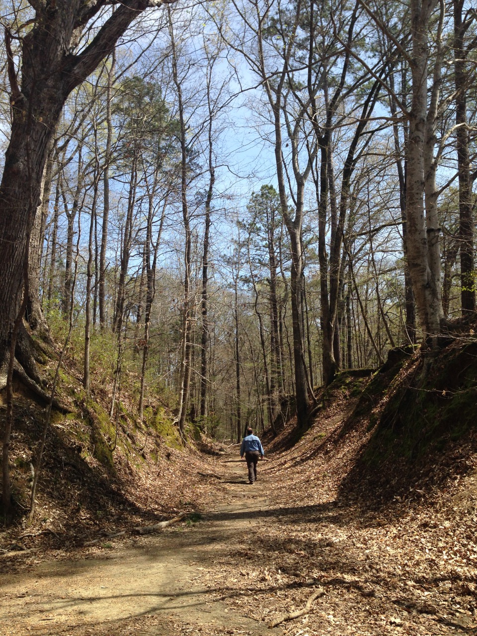 route passes through three states (Mississippi, Alabama and Tennessee). It is enveloped by lovely thick forests, crossing over steams, rivers and marshes, and has plenty of historic sites to explore. Best of all though, it does so at the entirely civil highway speed limit of 50 mph. Perfect…
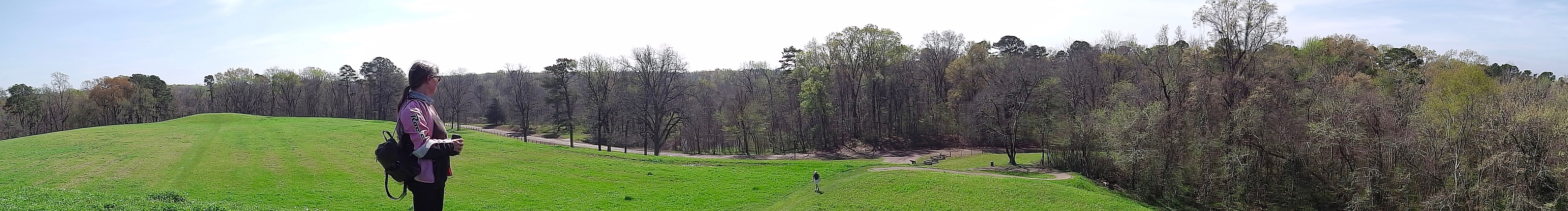
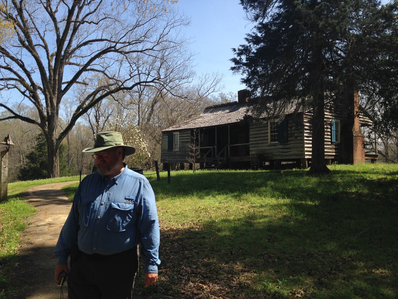
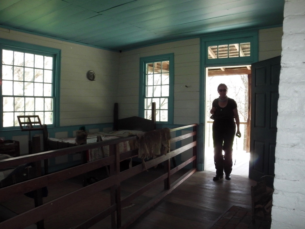
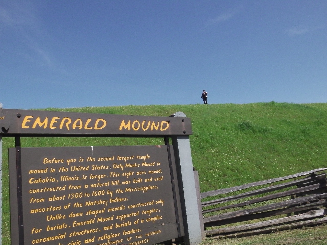
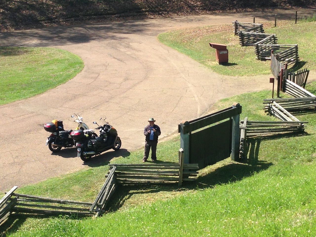
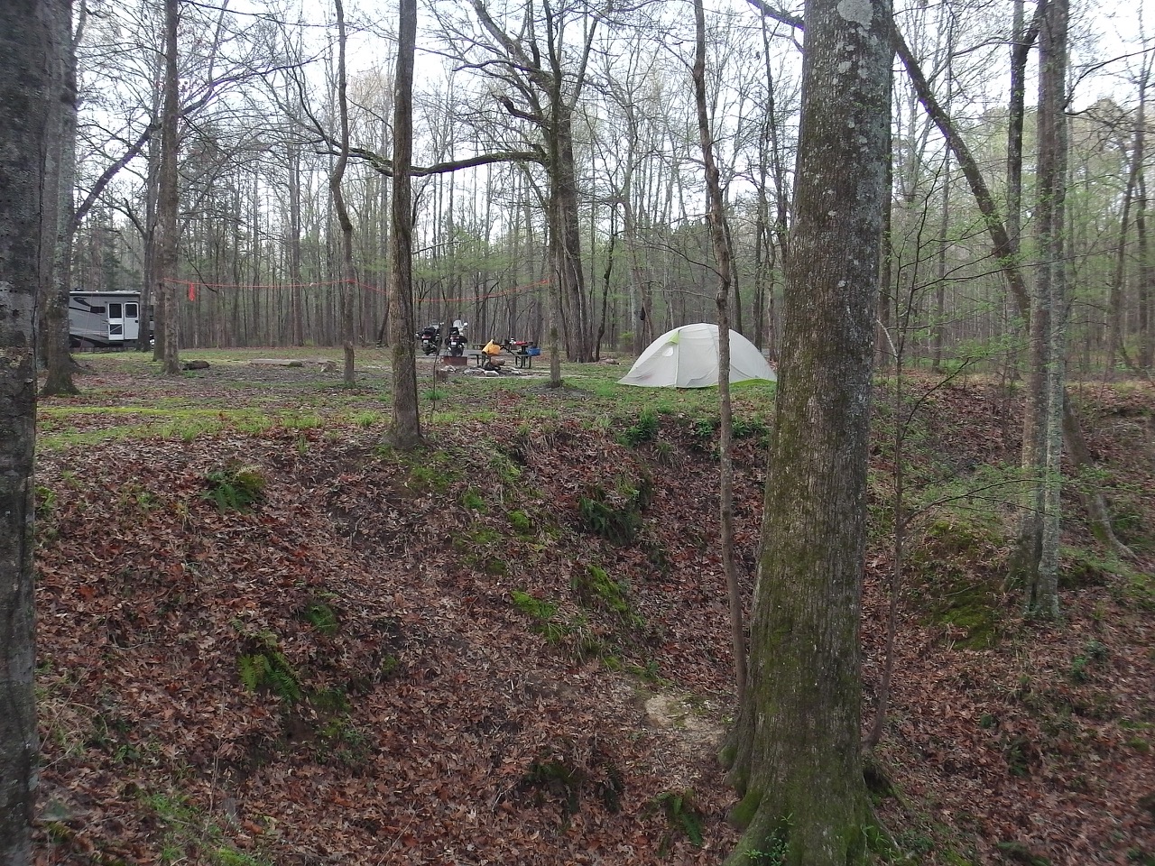
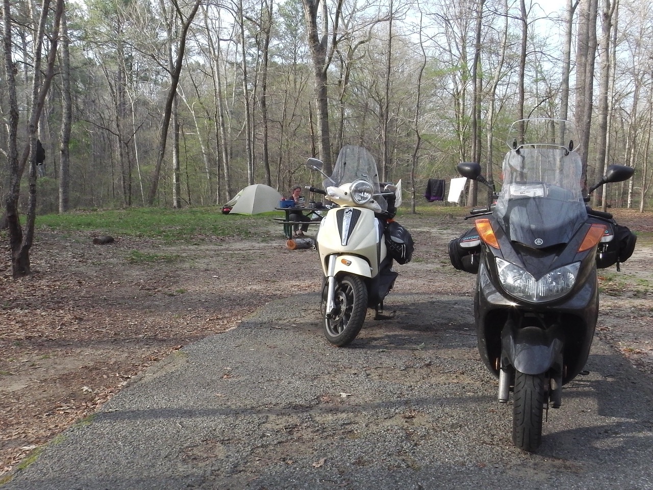
Our first destination along the Trace was Rocky Springs campground. Oh, did I mention the campgrounds are free along the Trace. Perfect… Anyway, along the way there we stopped at a few of the early historic sites, including a ceremonial temple mound built by Native Americans around 1200, a restored (somewhat) plantation house that acted as an inn for travellers, and traces of the original Trace.
 We set up camp at Rocky Springs and settled in for a few days of much needed nothingness. No travels, no storms, and no
 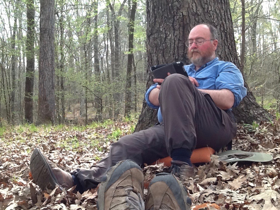 alligators! (Actually, I miss the cute little ‘gators.).
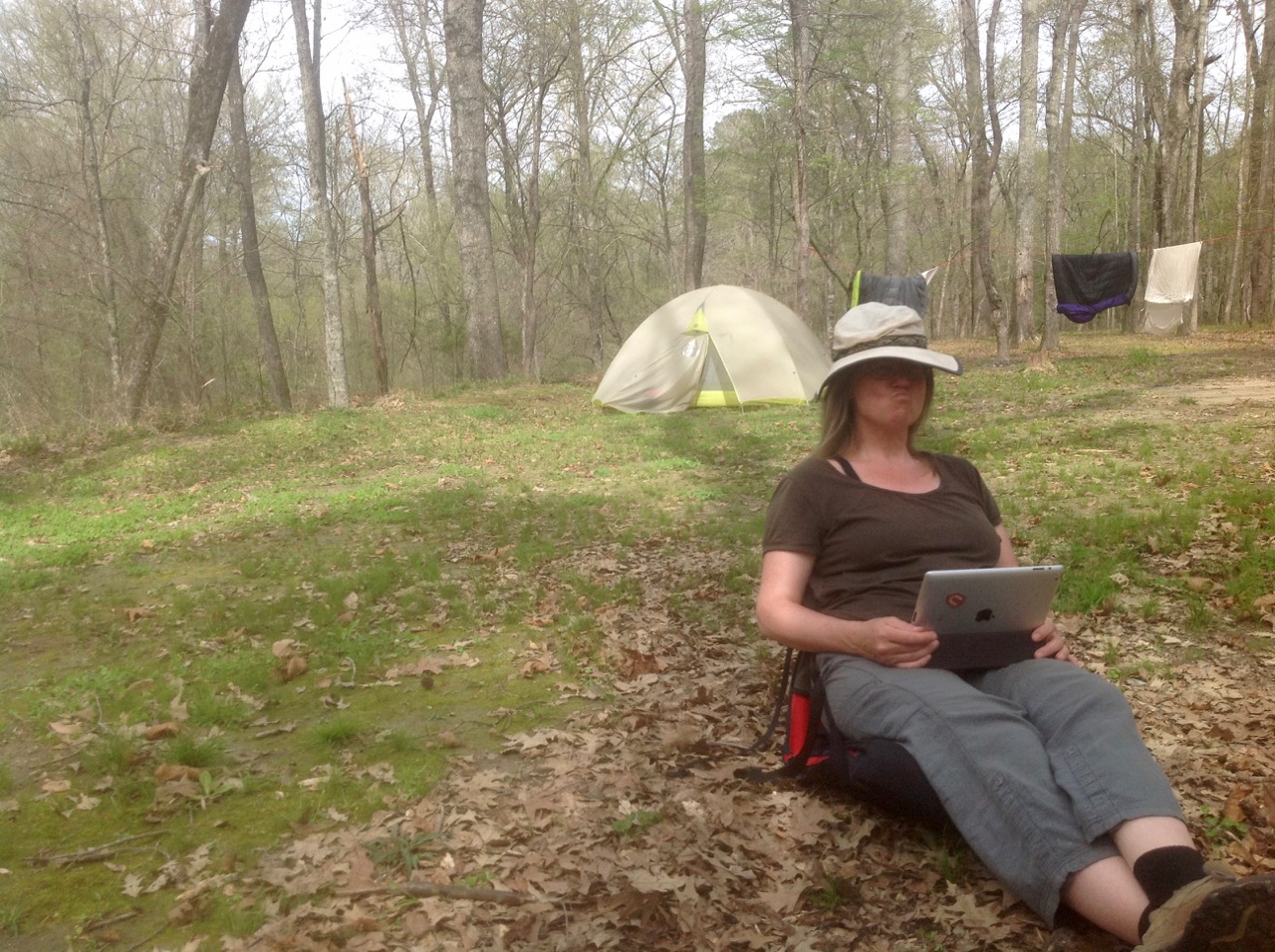
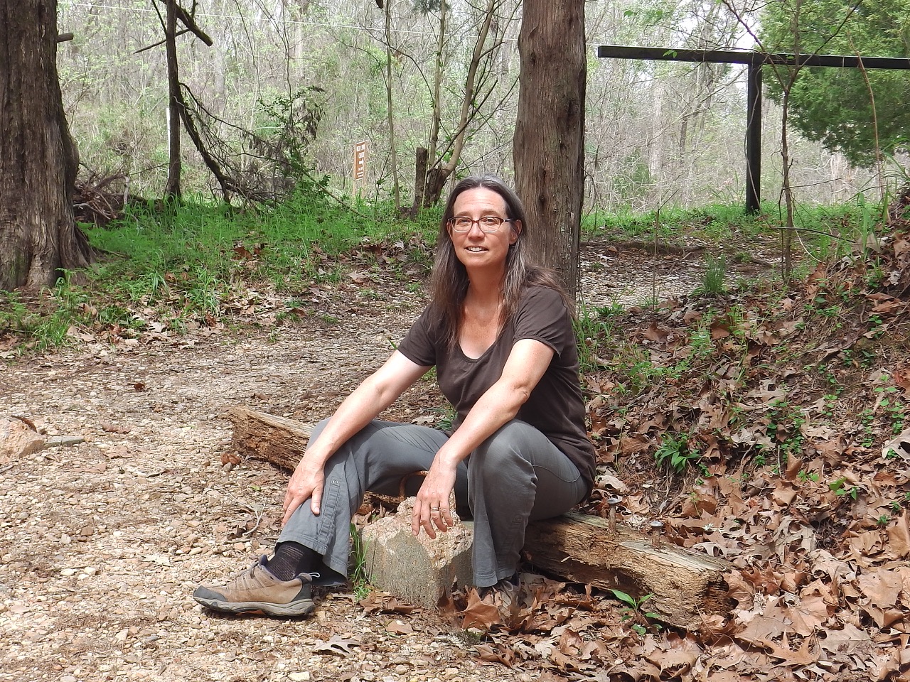
As has been our luck all along, we found a wonderful campsite which backed onto a small ravine.It was a great spot to set up, read a book, and just hang out for a while. Which was all I could manage anyway, because temperatures hit 31ºC those first two days!!! Holy Schmolly that’s hot! The record temperature for Natchez for those days was around 30ºC, so once again we are running into very odd weather.
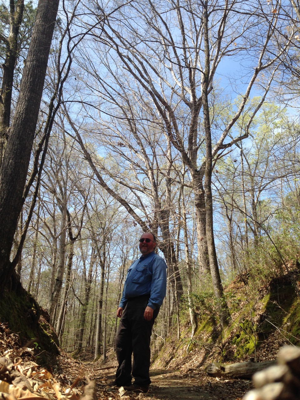
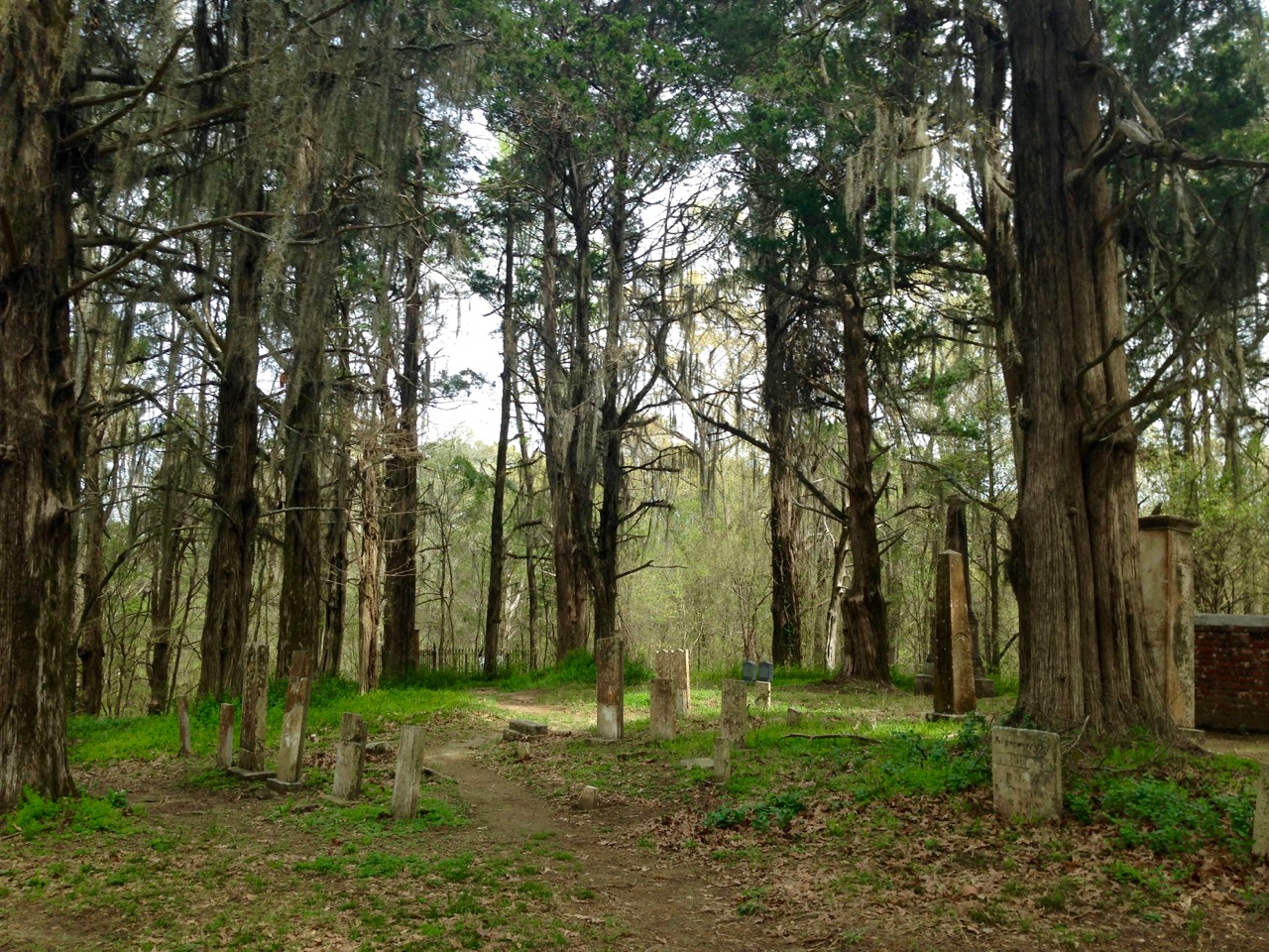
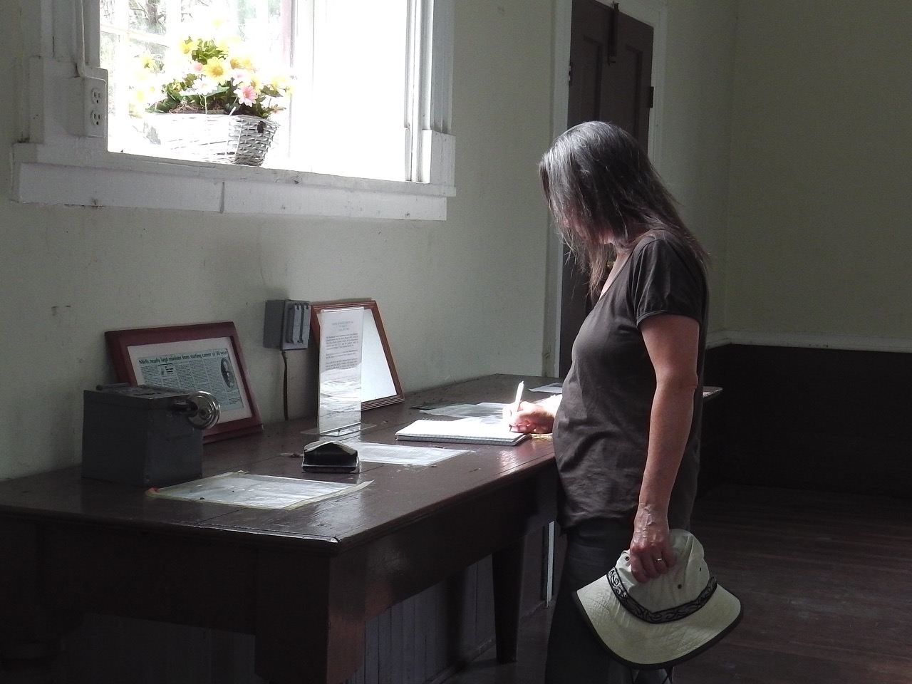
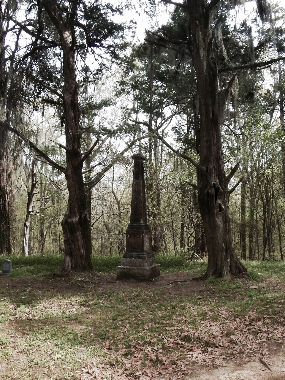
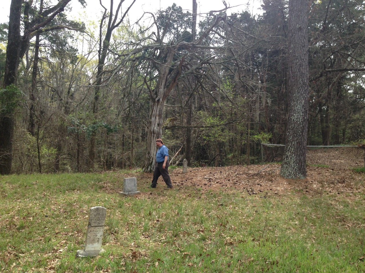
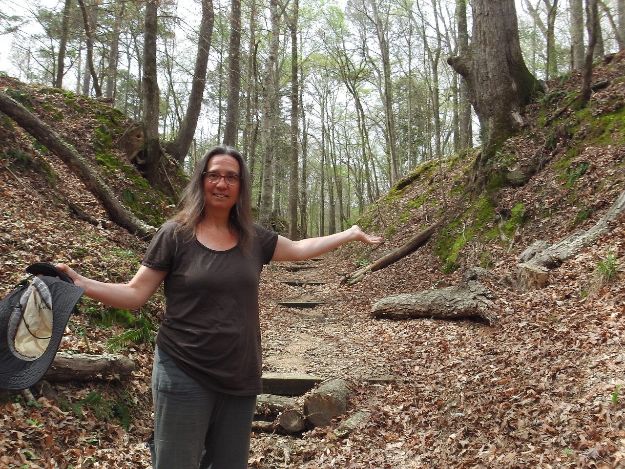 By the second day it had cooled down into the upper 20s, so we did some exploring of the area, walking up parts of the original Trace to visit the remains of a once-bustling town. The only things that were left of this former town are a couple of safes (too heavy to move I guess), some old cisterns, and a church complete with a graveyard that would make Dracula proud.
 Our bad luck with weather has been mirrored with our good luck meeting wonderful fellow travellers along the way, and this carried on at Rocky Springs as we got to know our neighbours who happened to be from Quebec. One couple (Gilles & Marielle) were travelling with three cats; one was a “coon cat” with an amputated paw, the second a kitten rescue cat, and the third was a black cat who they just let roam the campsite. Turns out these folks were also former sailors who had cruised on their boat (Bayfield 36) for seven years. They even sailed out the St. Lawrence to Halifax and beyond, so we got a few tips and learned about their continuing travels.
 Marcel & Annette were our other near-neighbours. Also from Quebec, they came over to learn about these two crazy kanucks who are riding around the continent on two little motorcycles. As is becoming usual, they took pity on us, delivering hot coffee and (later), wine and home-made turkey soup! Later, while stopped in Tupelo for lunch, we were offered a house for the night from a woman in the next booth. We seem to engender this kind of motherly reaction from people … maybe we really are crazy 😉 .
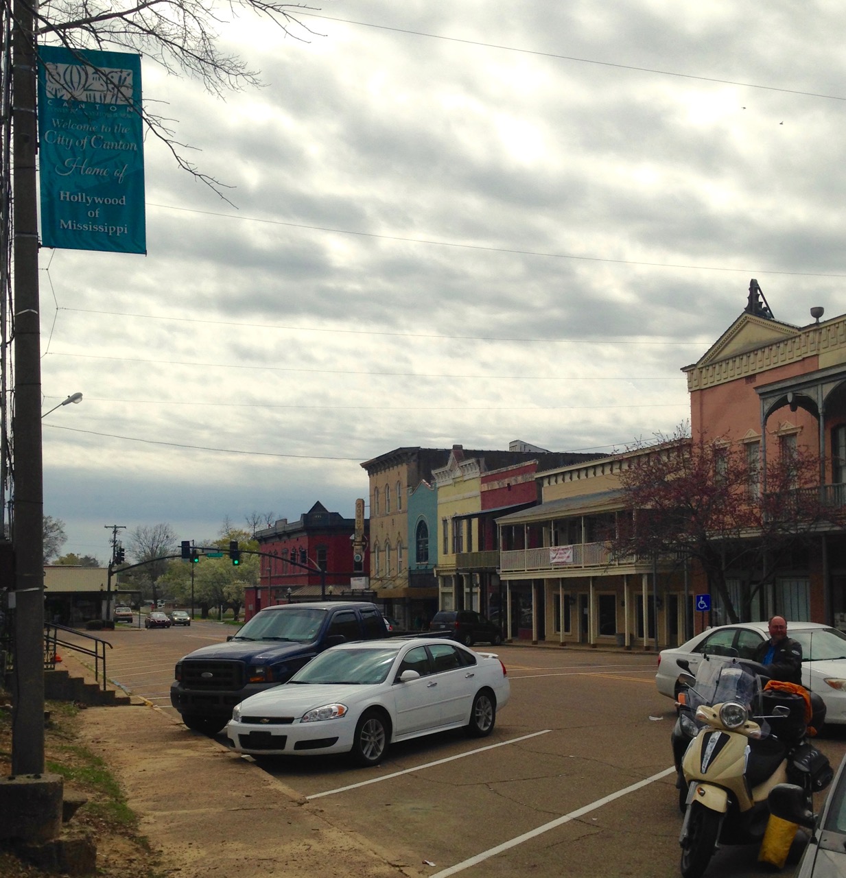 After three days of rest we pulled up stakes and headed down the Trace to our next campsite: Jeff Busby. Along the way we stopped at the town of Canton (off the Trace). This is apparently where some of the scenes in Oh Brother, Where Art Thou? was filmed, so Ann got all goofy and giddy and, well, she was not to be denied. So, we had a wonderful lunch and saw stuff that could have been in the movie … maybe.
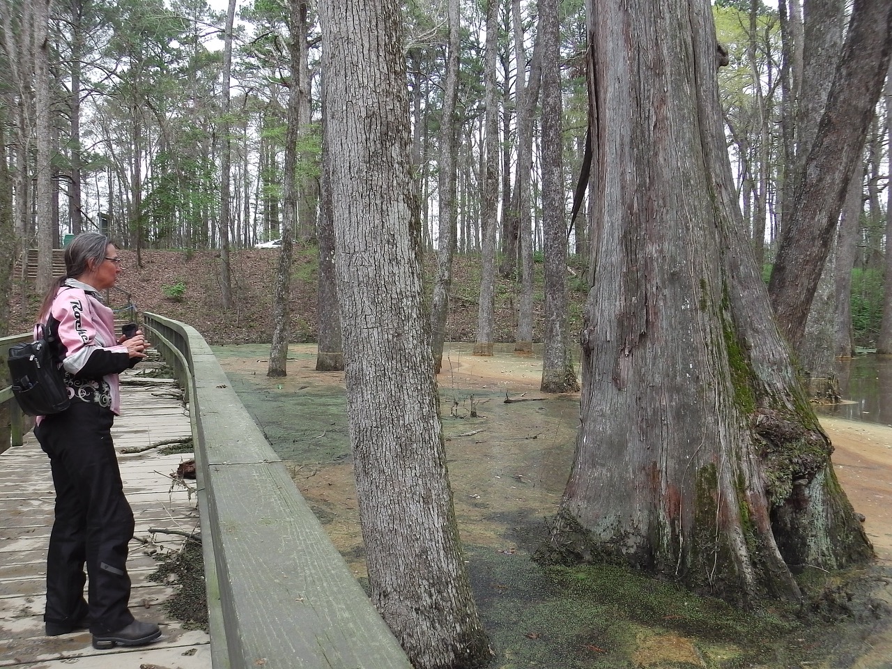
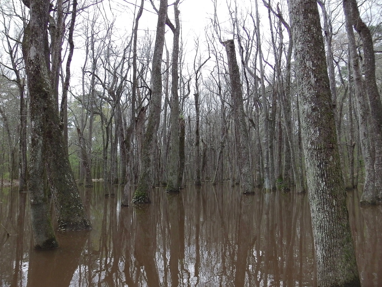
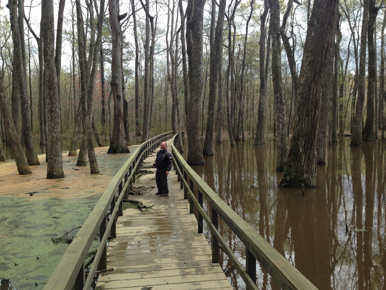
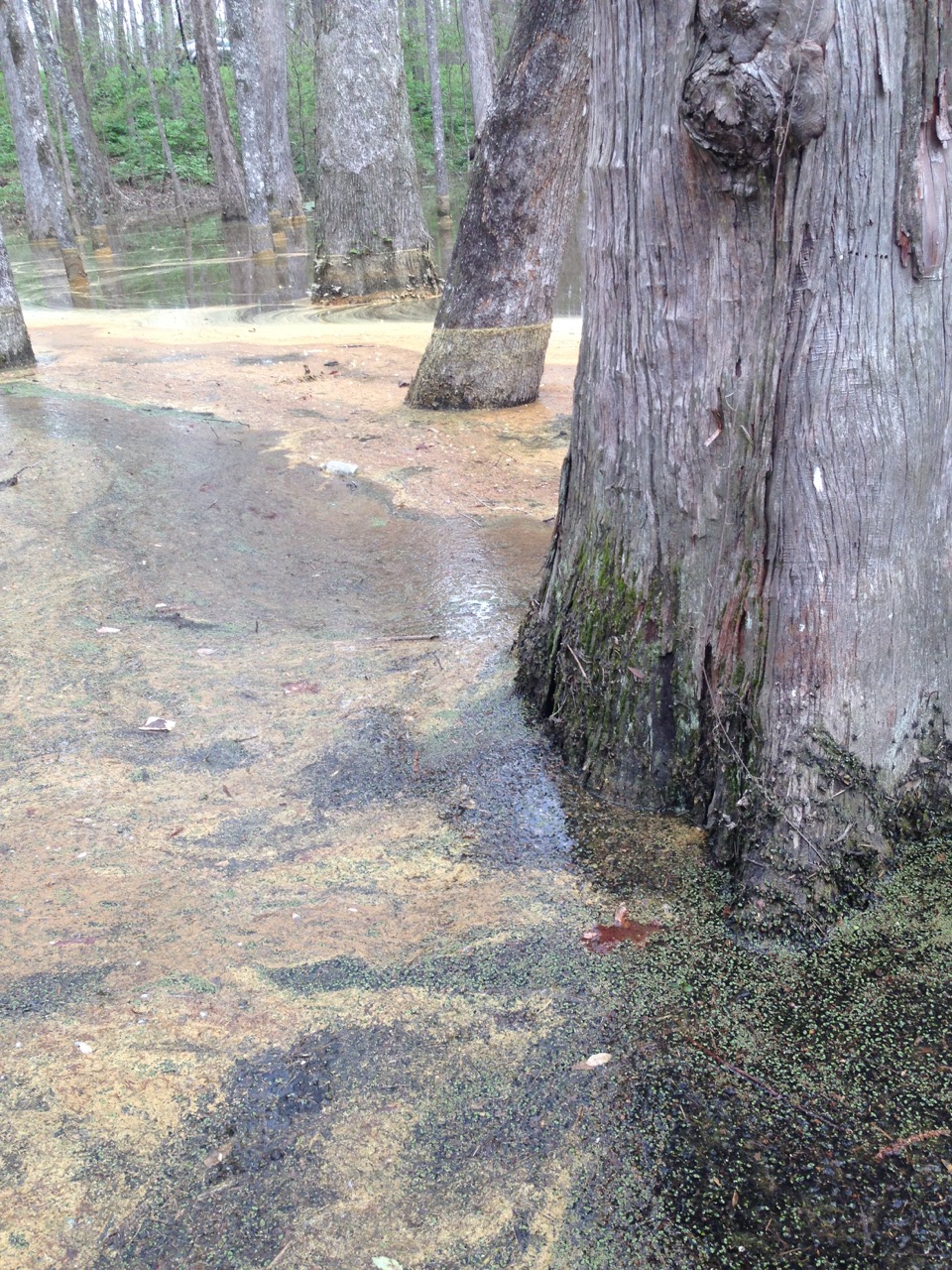
Our next stop after getting back on the Trace was the Cypress Swamp. When we got there the trail had been closed due to all the flooding, but Ann, being the rebel that she is, and speaking in her new-found southern accent, said: “No horse eatin’, Judas Iscariot Hogwallop, no nuthin’ coppers, is gonna keep me from seein’ swampy trees!!” * So she burst through the barricades and once again led us on a nefarious excursion.
*Quote slightly edited for artistic purposes 😉
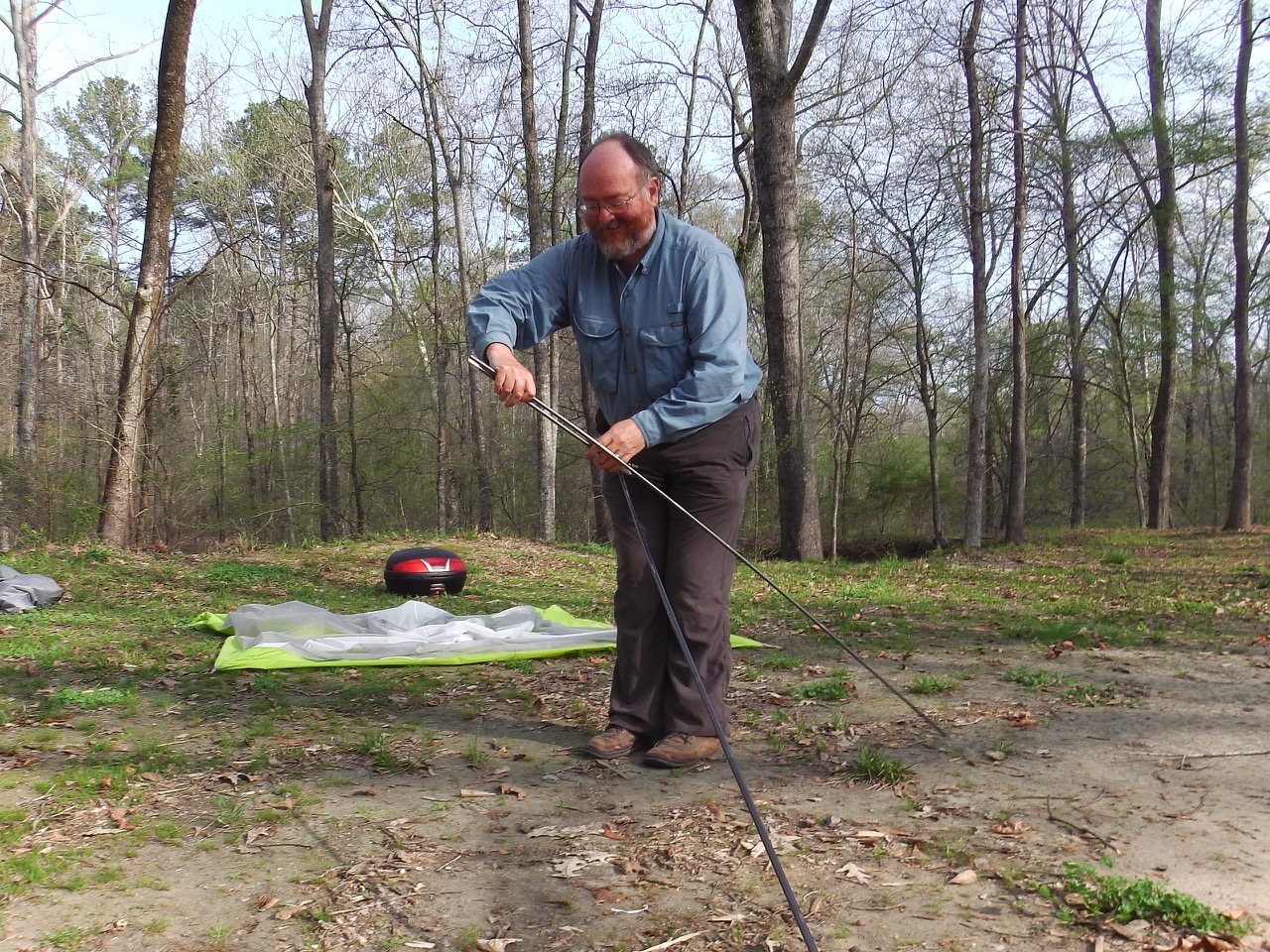
We pulled into our next campsite just as the clouds began to thicken. Rainy weather was predicted to settle on us for the following day or so, and we just managed to get the tent up before the clouds opened up. We got the tarp up before things got too wet, so 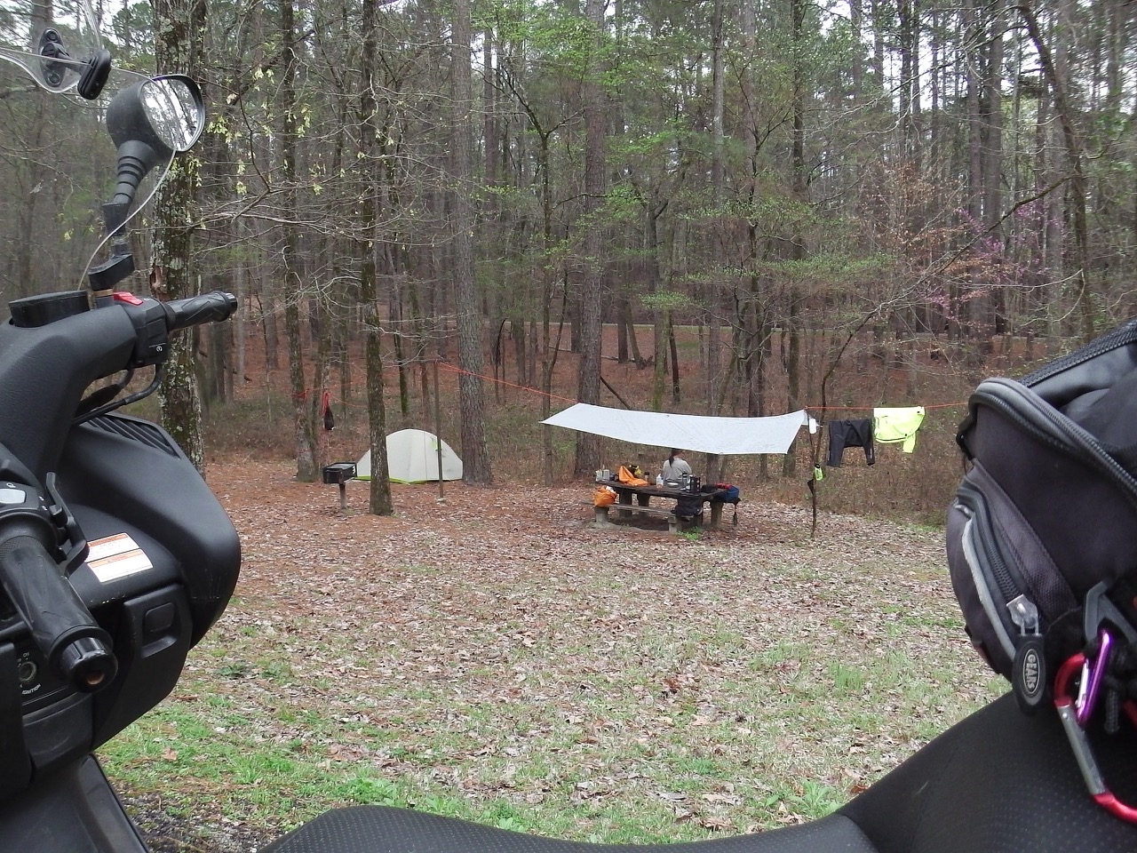
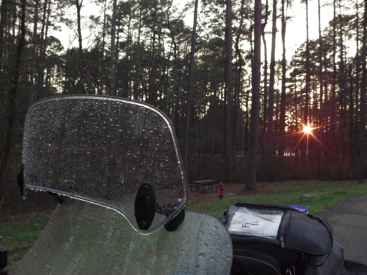 had a nice, dry (ish) campsite for the next couple of rainy days.
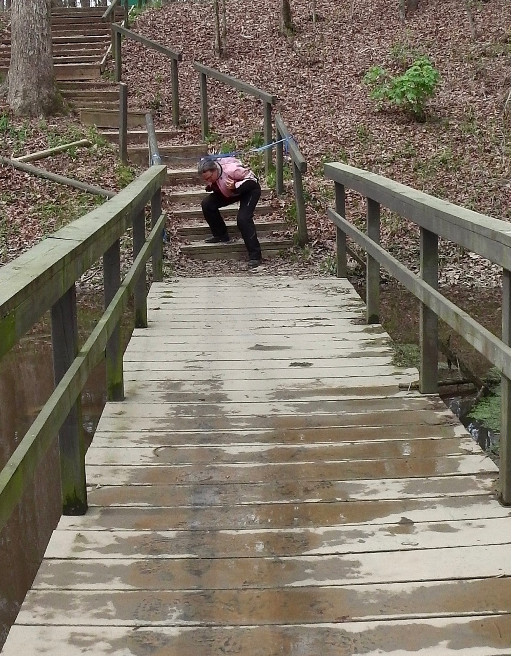
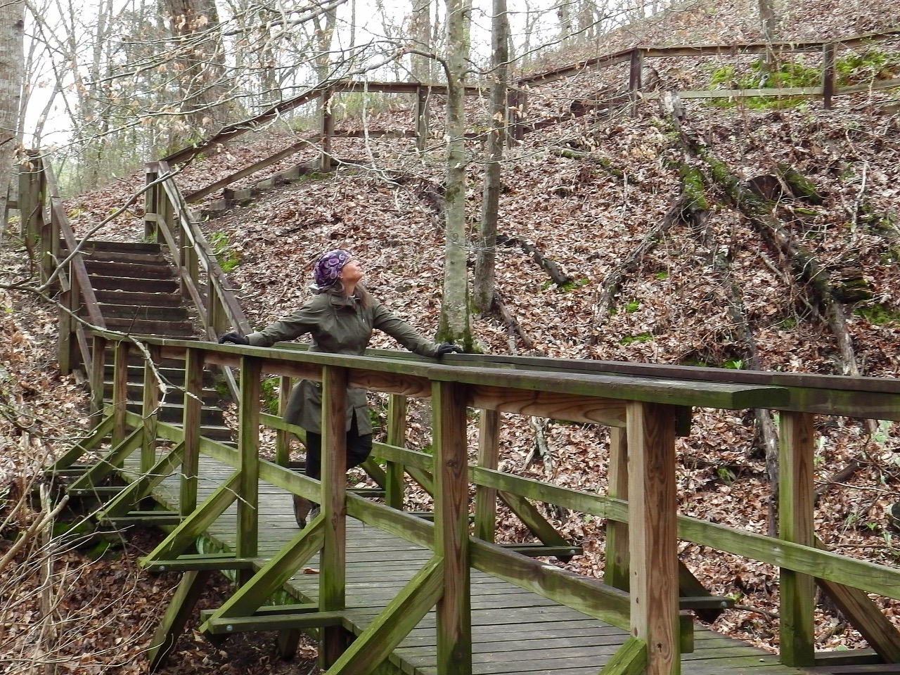
In between bouts of rain we managed to get in a couple of small walks, including a mountain climb up to one of Mississippi’s highest points! OK, it was only 603 feet, but still…
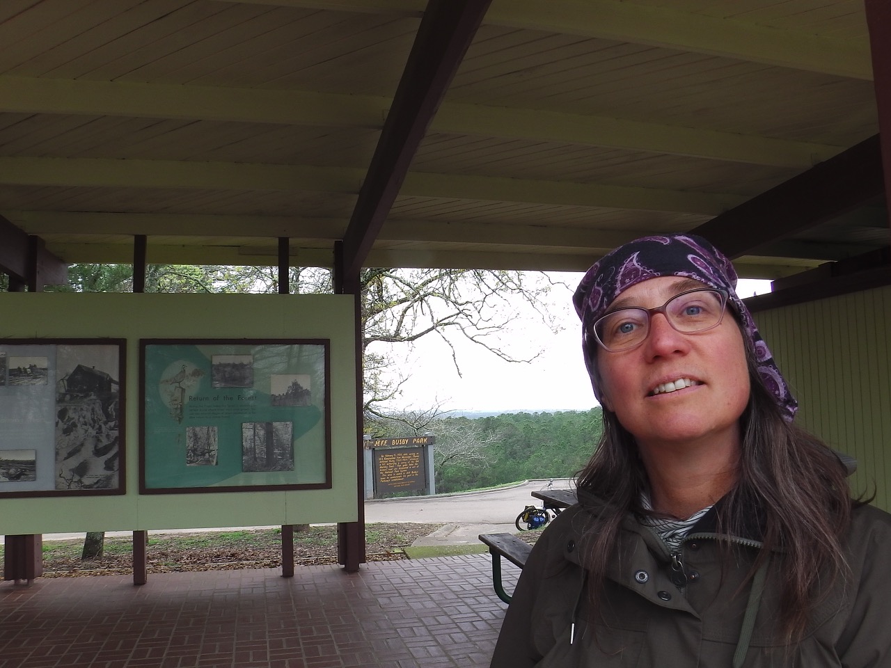
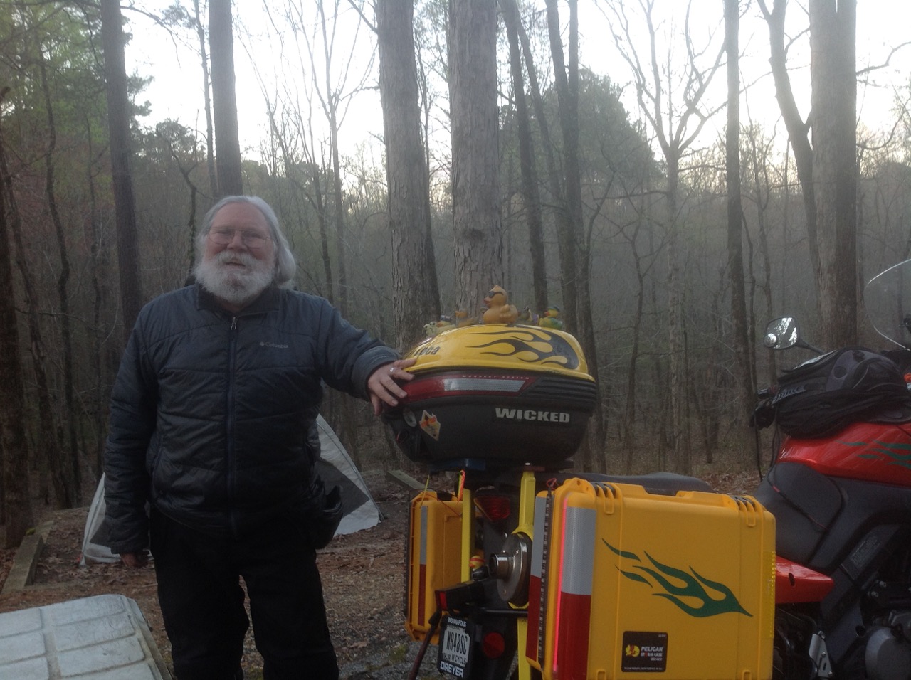 While at Jeff Busby (who apparently was some American Congressperson who got the campsite named after him for simply doing his job 😉 ), we met fellow biker Steve (aka Motorcycle Santa), and reconnected with Marcel & Annette who fed us, warmed us, and shared great stories of their travels. One evening we got invited into a party featuring more Quebecers. We talked and sang into the night. What a Wonderful Life!
After three nights of soggy, cool weather we decided it was time to head north once again. With the weather turning damper and colder, and with our healthcare deadline rapidly approaching, we decided it was time to get serious about getting back to Canada. We packed up and headed along the Trace, likely looking for a motel so we could plan our route north.
What great photos! The Trace looks full of history.