It was the best of times, it was the worst of times…

BANG! CRASH! SMASH!! I was abruptly and harshly awakened two hours into my four hour off-watch sleep when my body hit the ceiling of our forward berth. We had come crashing down from a huge wave. Then another…

We were within 15 nautical miles of the Bay of Islands, but the gods of Easy Crossings and Gentle Seas had handed things over to whatever gods Ann has pissed off in the past. We entered nautical hell!

… but more on that later.

IMGA0943IMGA0935
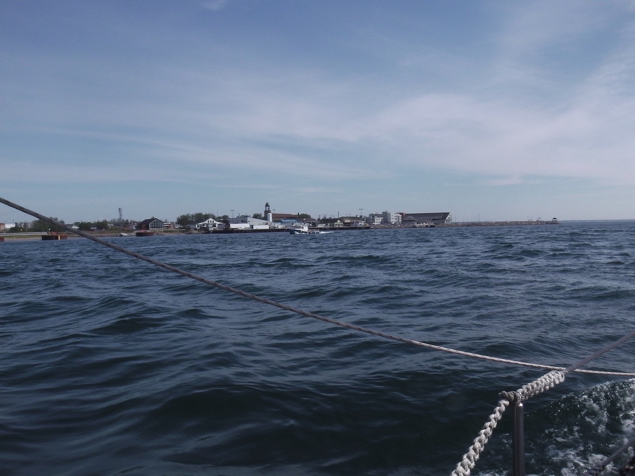
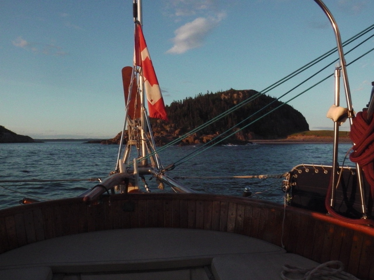
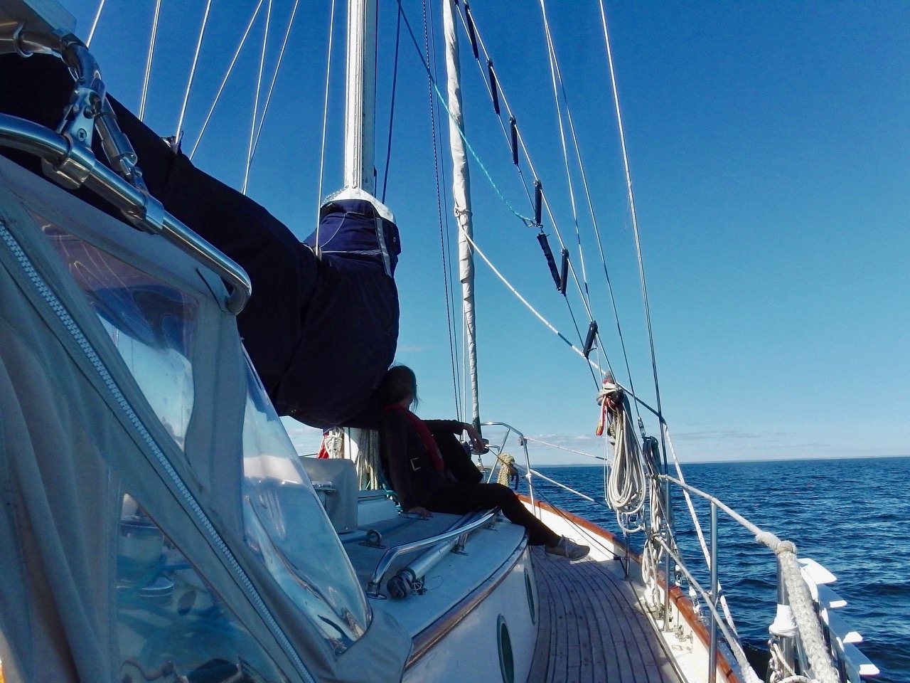
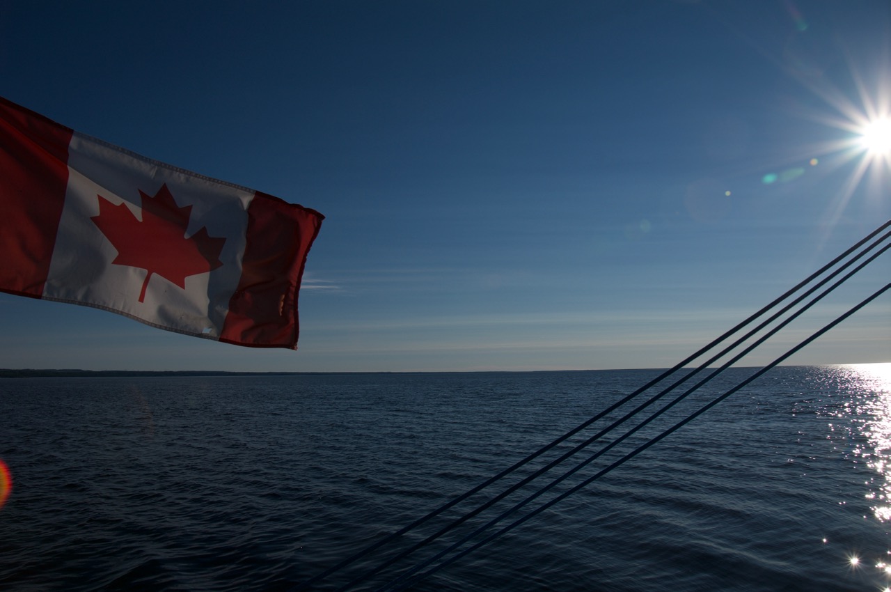
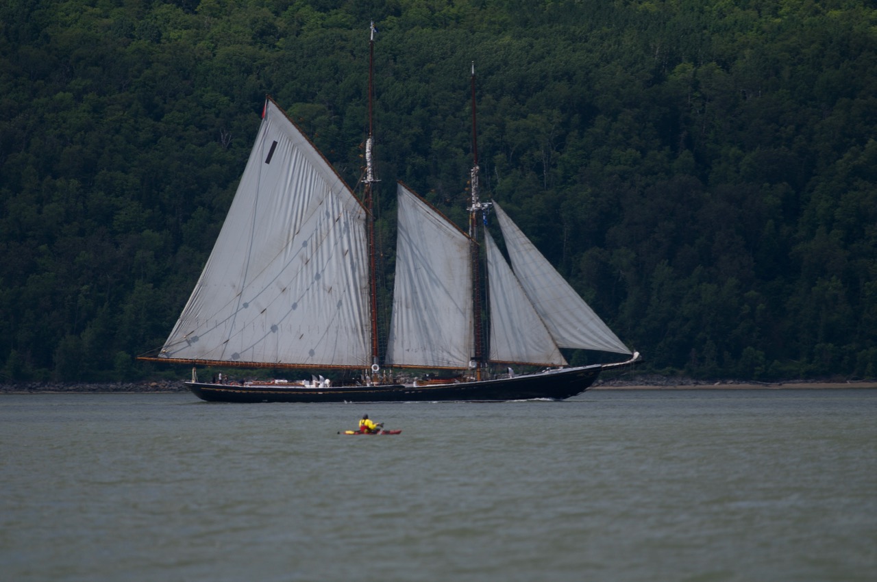
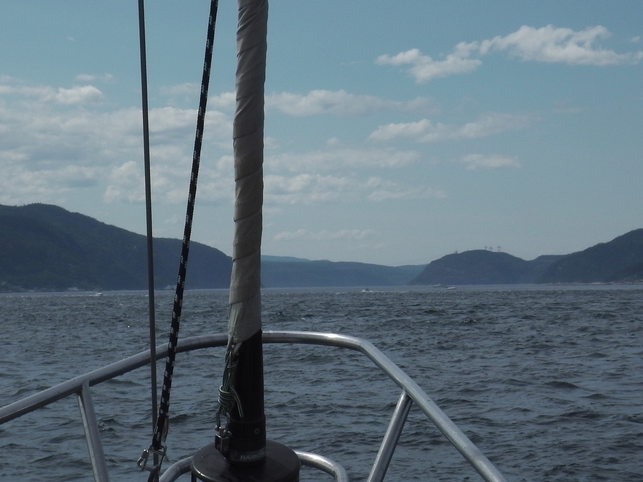
We left Mingan at about 11 am, heading out on about a 230 nautical mile crossing to Bay of Islands which houses Corner Brook. This would be the longest continual sail we’ve ever done, but only by about 50 or so miles. We’ve crossed Lake Superior before, and that was close to 180 nm … or was that 140?? Ah well, close enough… Anyway, we’d found what looked like the perfect weather window for what should have been a 40 hour crossing for our little boat.

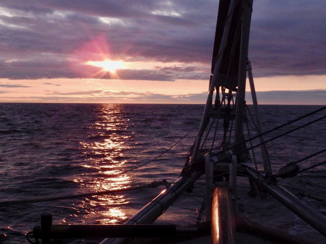
Everything went according to plan for the first two days and most of two nights. The winds came up steady and moderate (10 to 15 knots most of the time) from the SW over the first day and through the night, but the seas were moderate and the direction remained pretty constant. We had swapped out the normal heavy headsail (yankee) for our light air drifter, so we moved along nicely all through the night. Aries, our windvane, steered us through those first 24 hours with nary a complaint.

no land
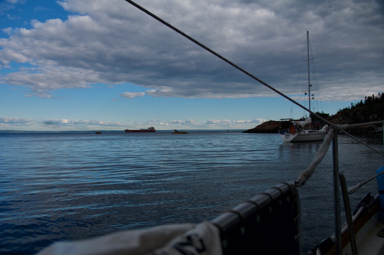
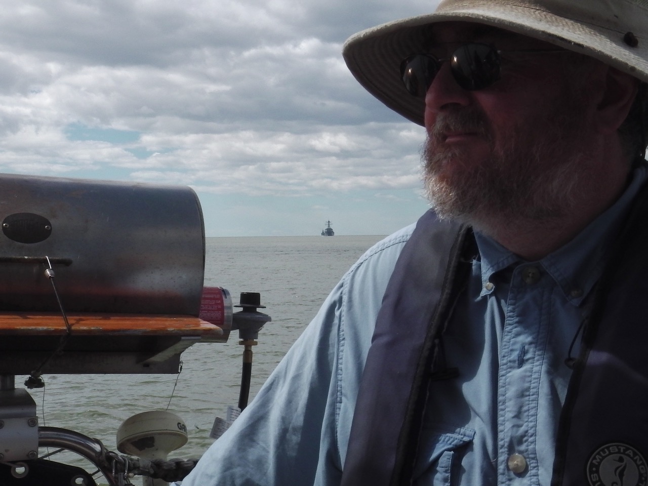
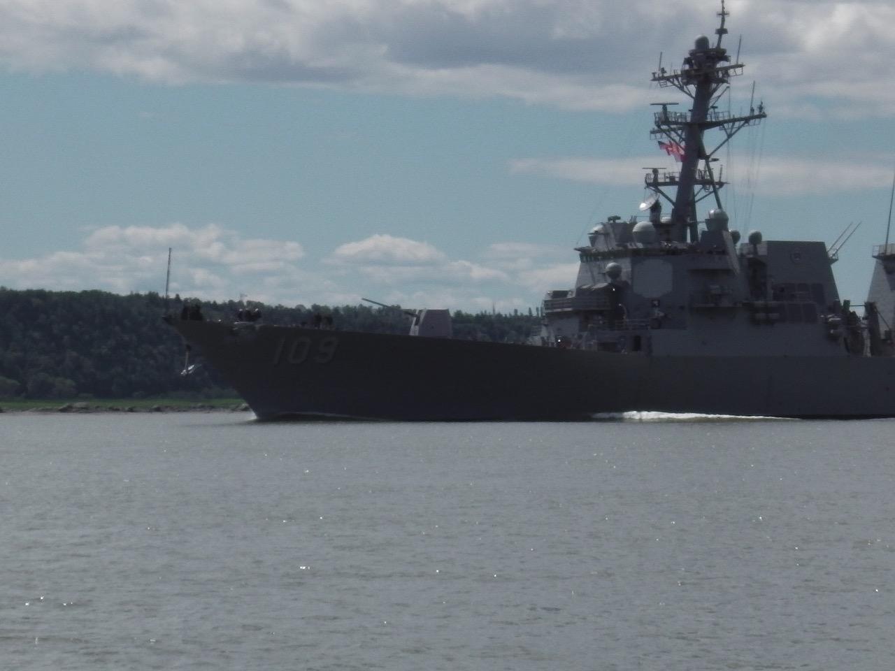
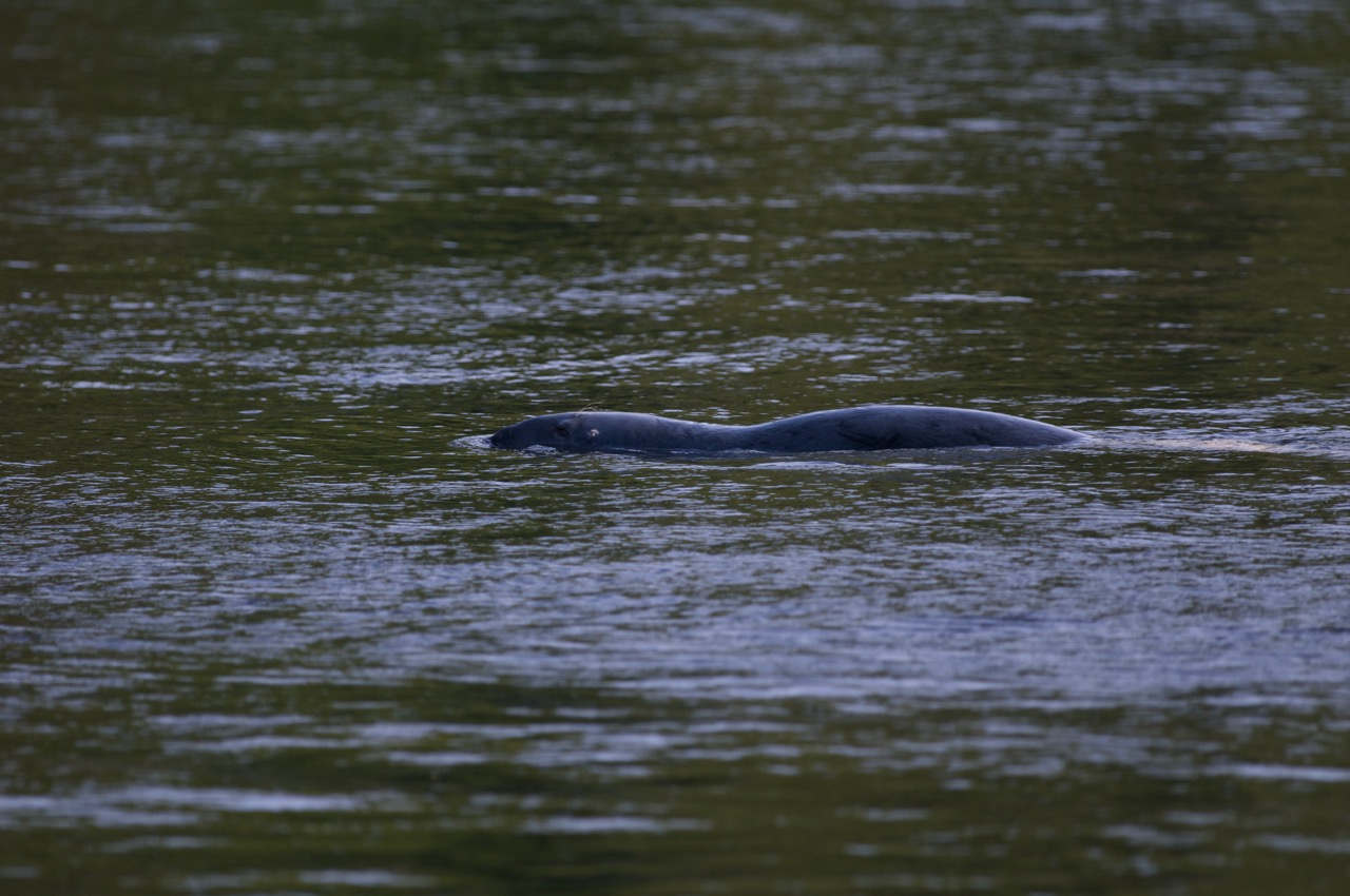
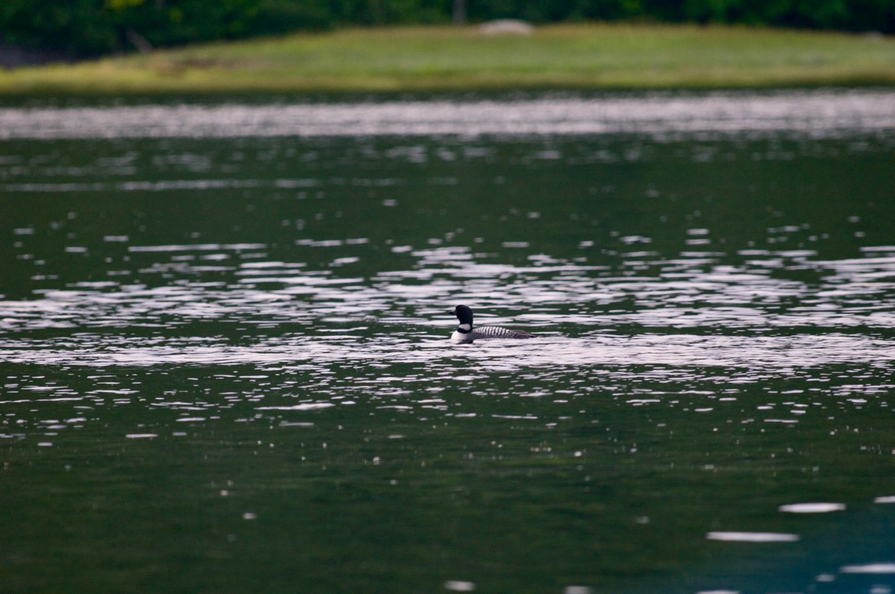
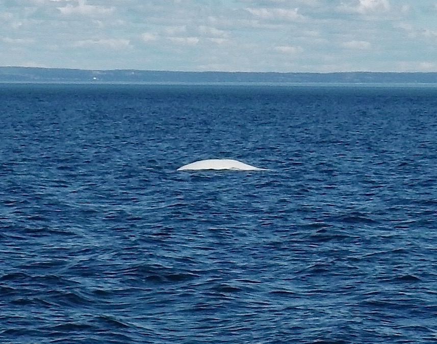
The overnight sky gave a stunning stellar display. Other than a somewhat close encounter of the freighter kind that required a course change (1.8 nm seems awfully close in the dark), everything was great. We ate well from the stew I had made the previous day. We slept, and just enjoyed the solitude. There’s something stunningly beautiful about being alone on the sea with nothing around you but water, wind and waves.

IMGA0940
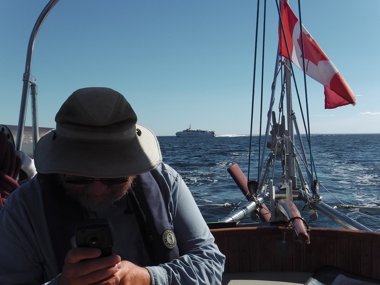
The sun rose on the second day, and as predicted, the winds began to drop. We expected this to happen so eventually dropped sails and turned to Grampa Tractor to push us along. We’d covered close to half of our distance by then, so things were going well.

The sun set as normal. We’d had our second hot, warm supper of stew and bread, and I had been off for my last watch, when… well, you know.

IMGA0950 IMGA0947 IMGA0949 IMGA0954

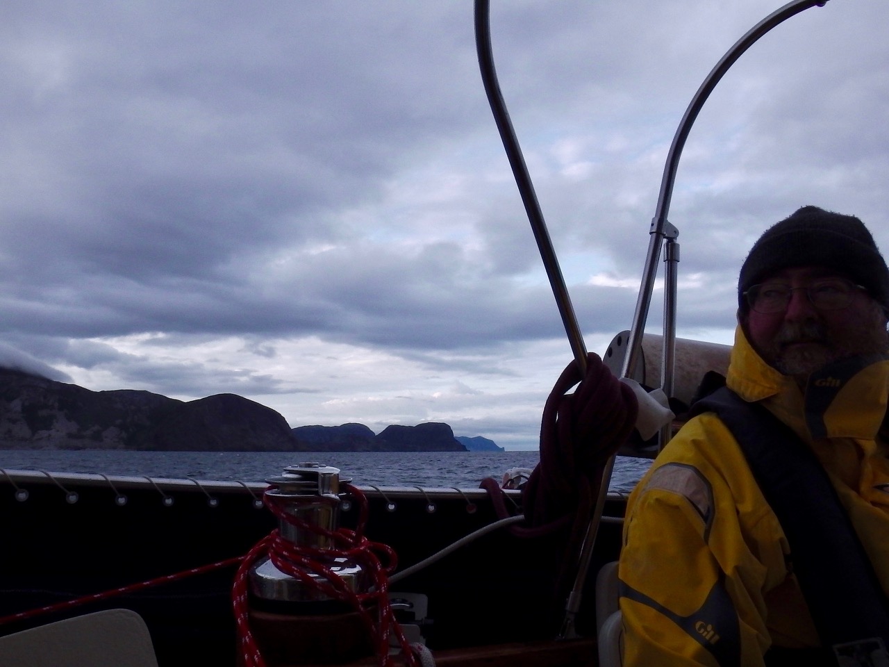
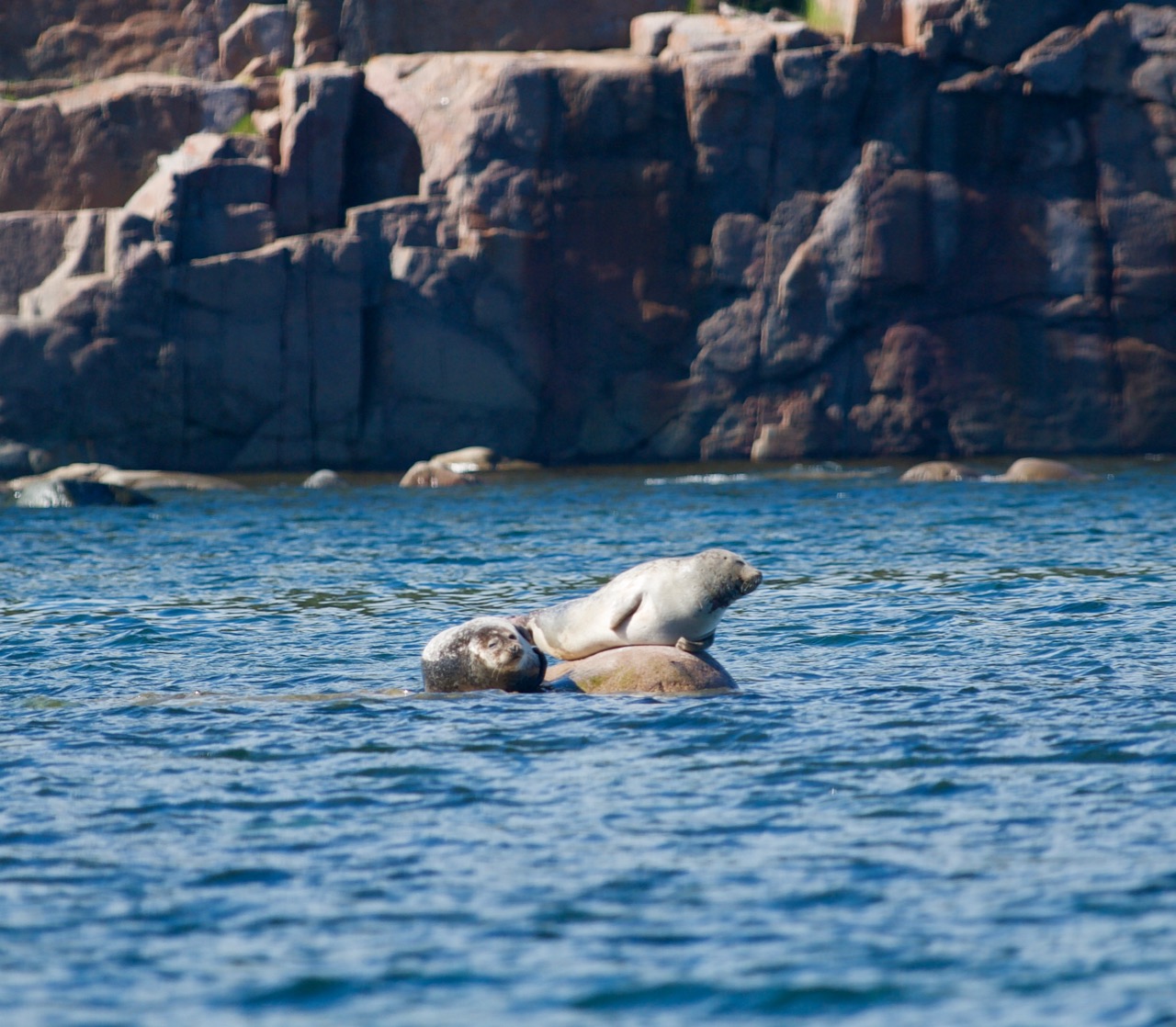
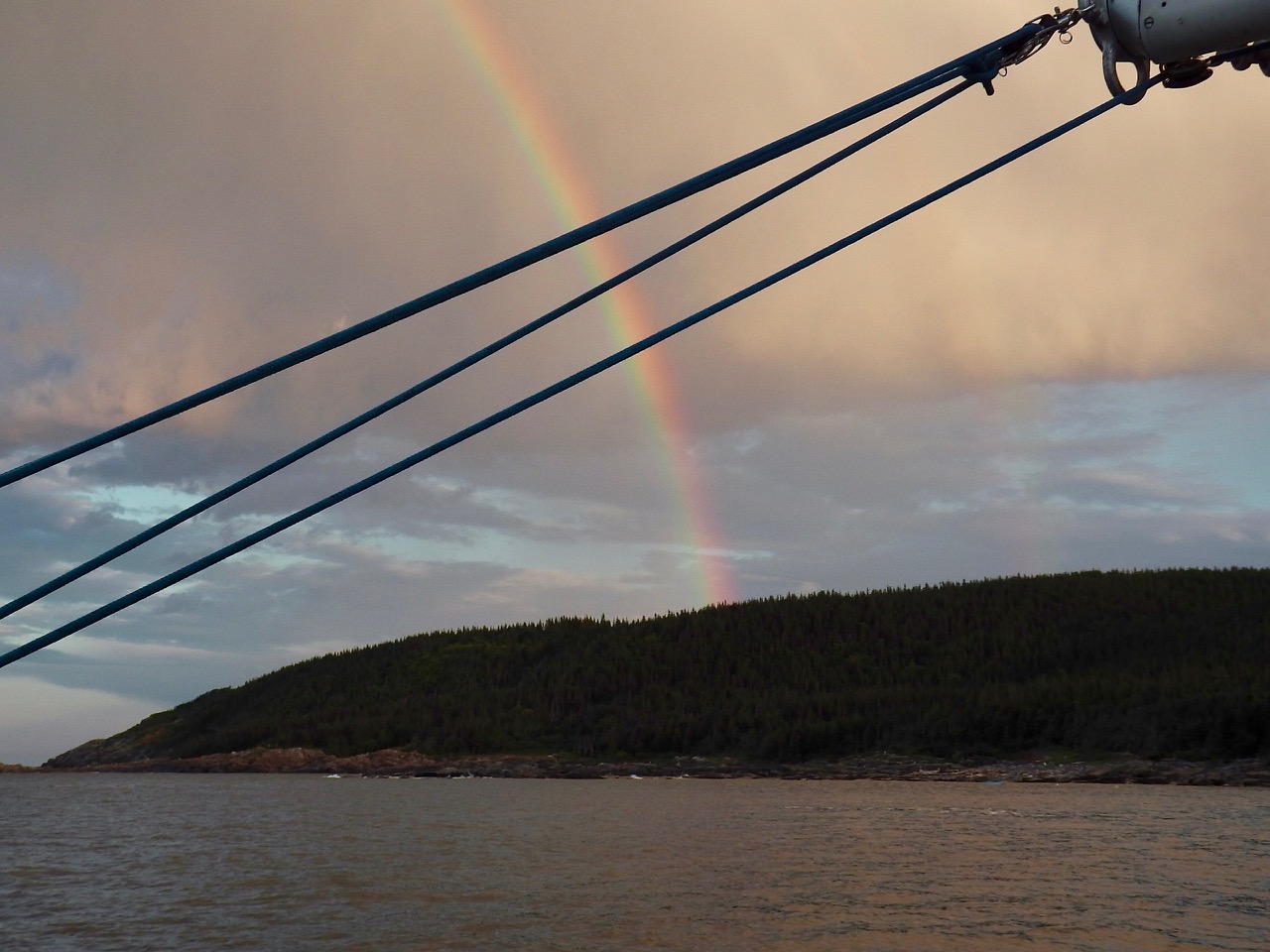
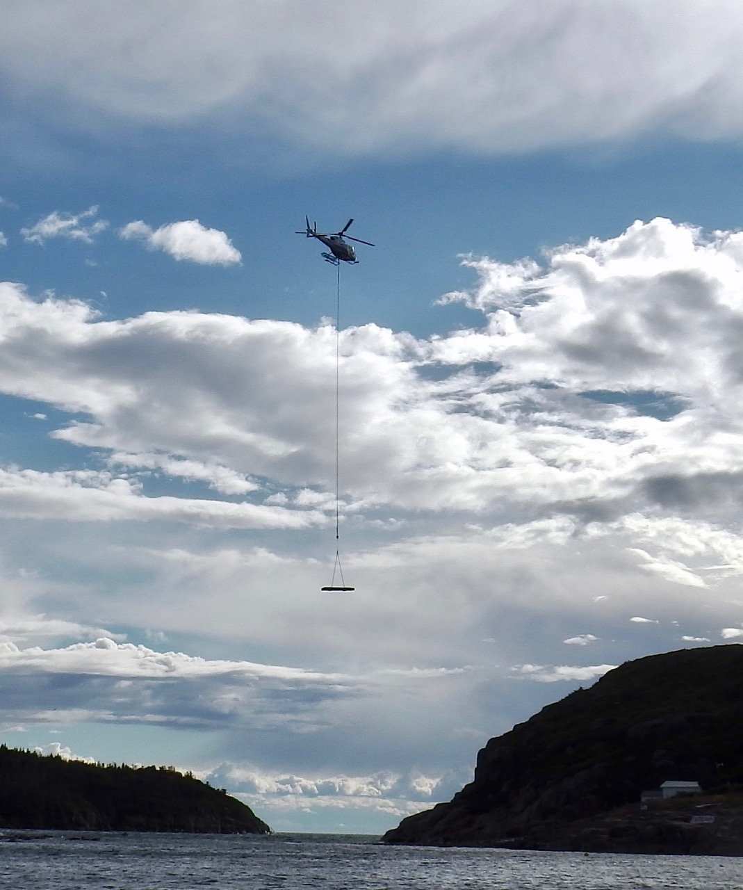
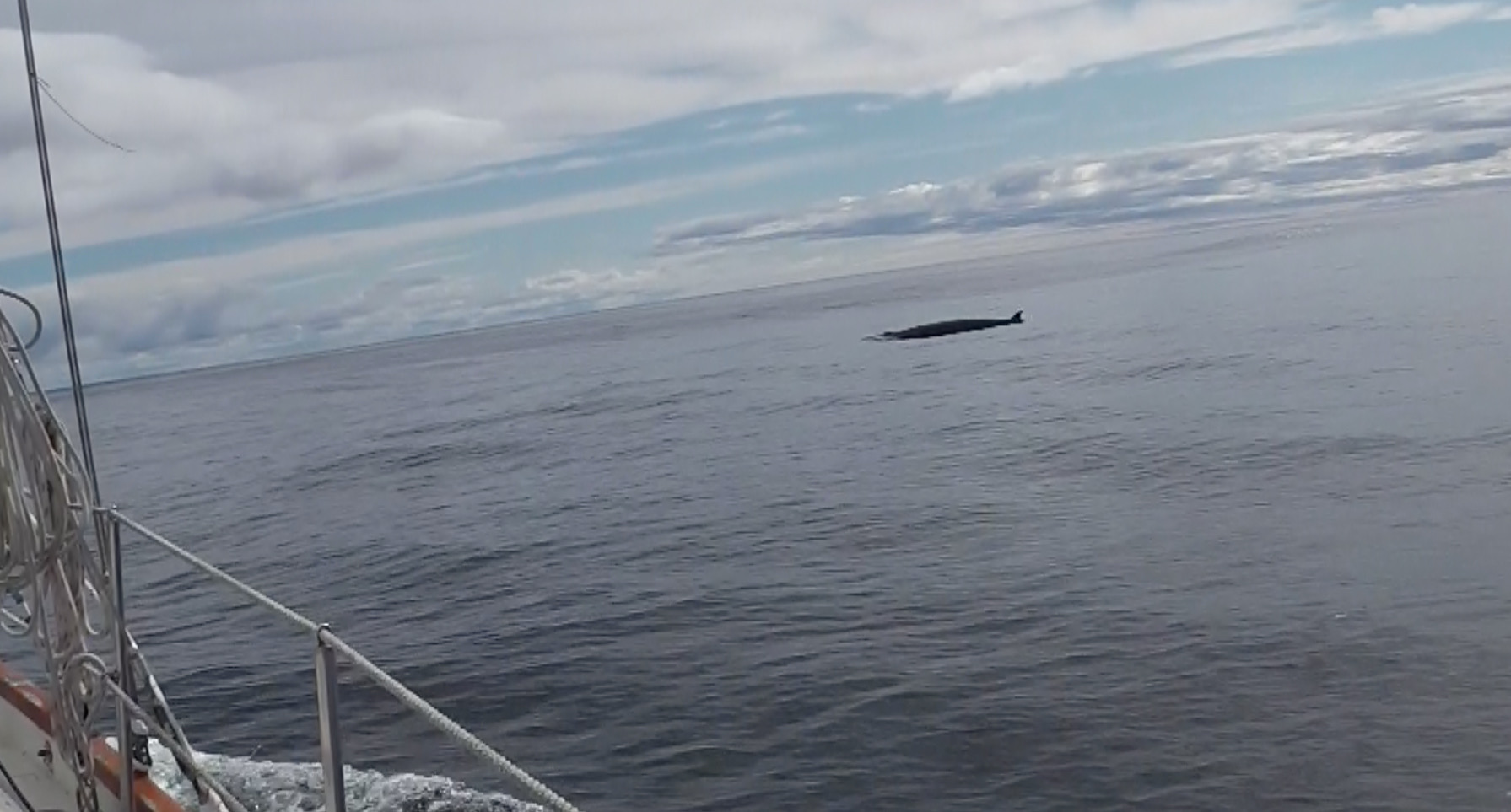
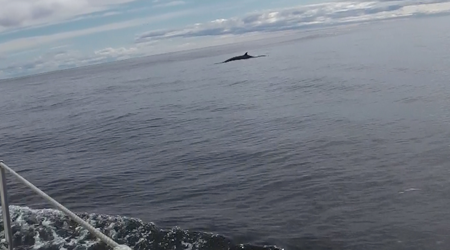
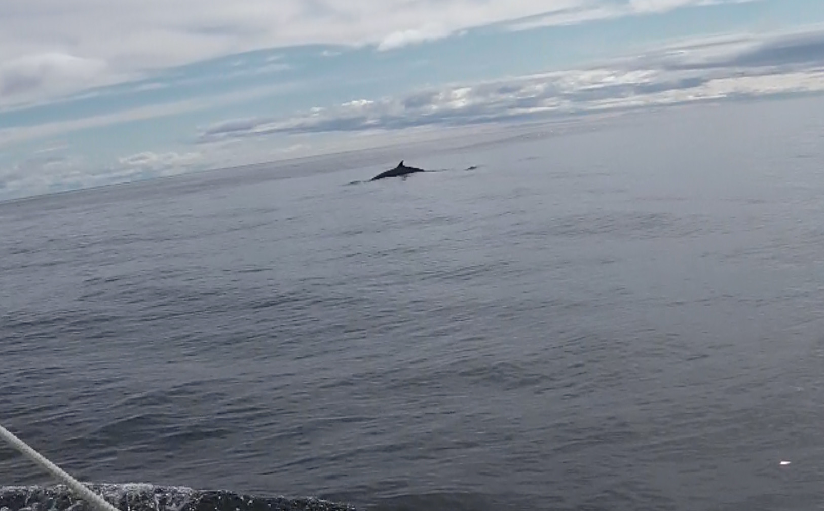
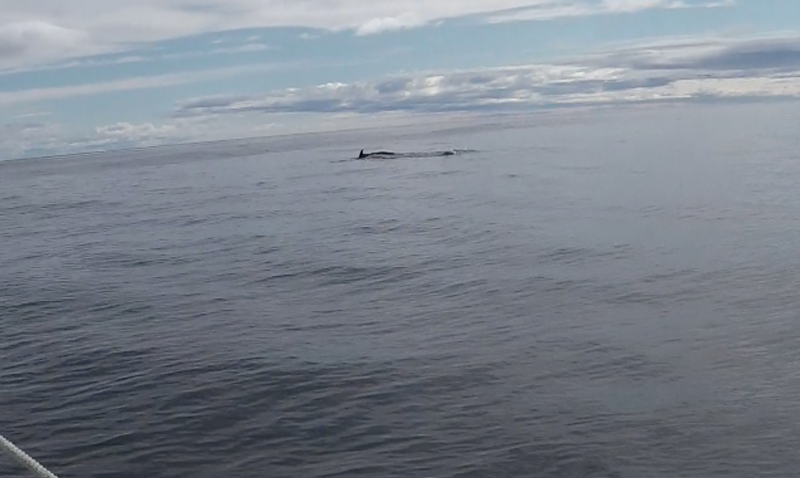
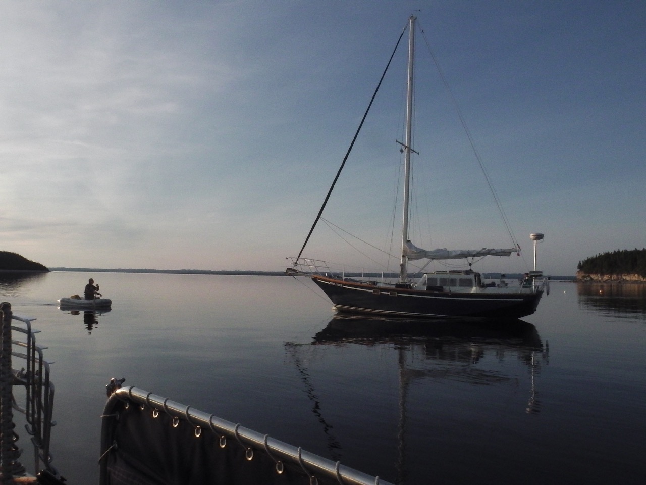
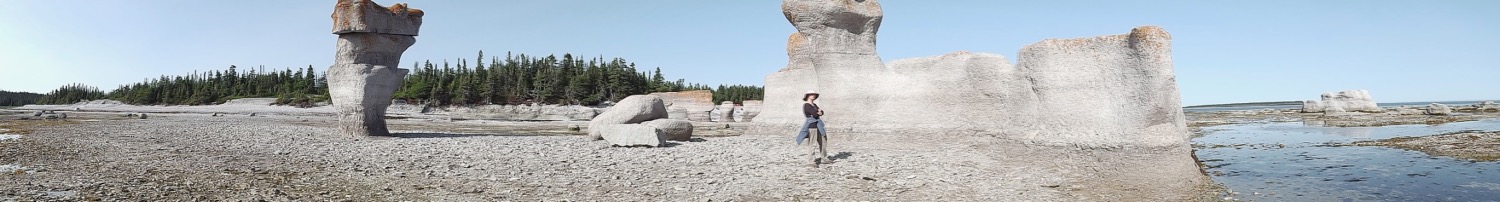
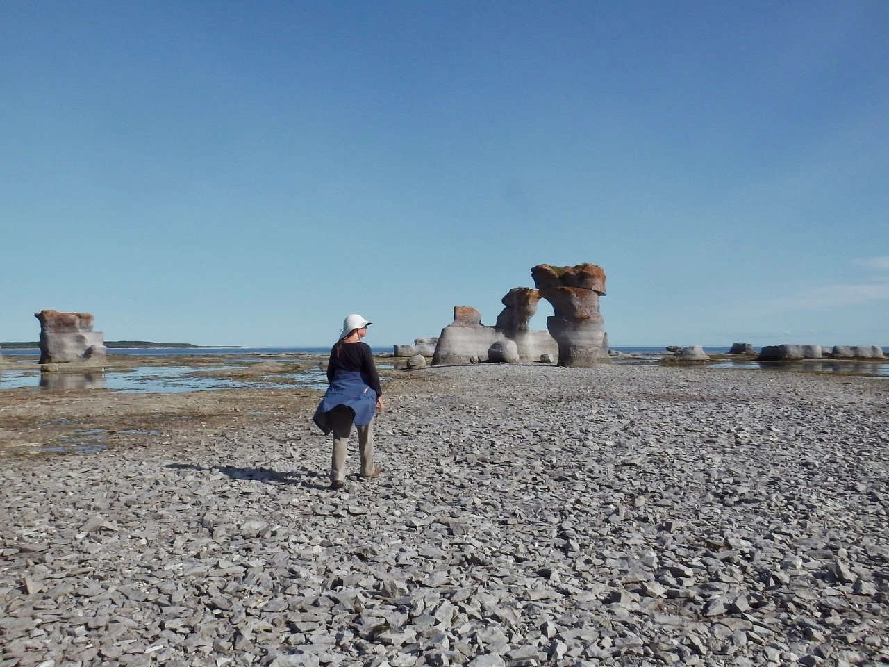
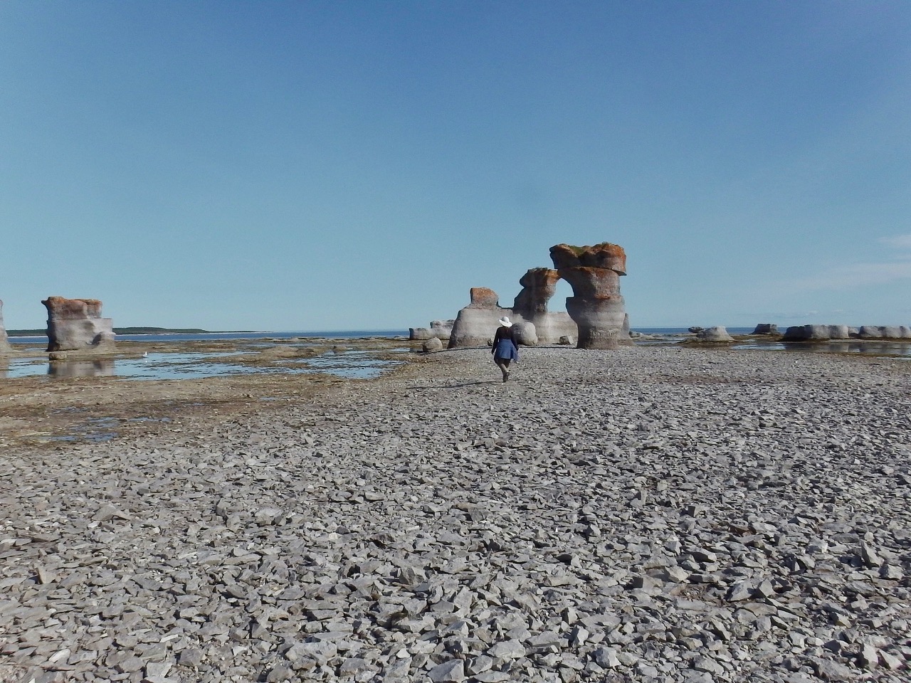
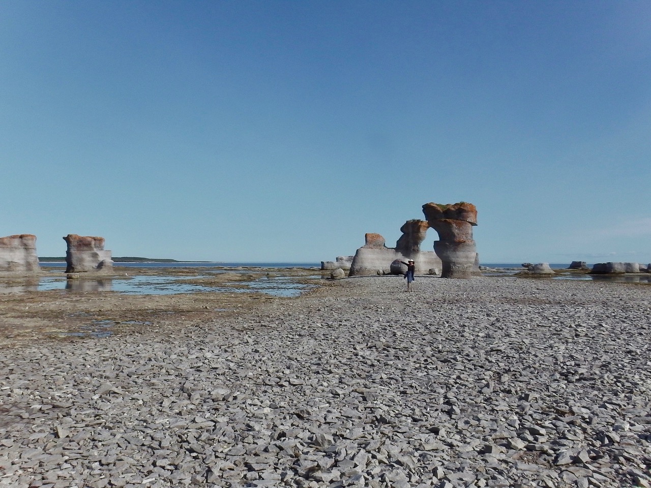
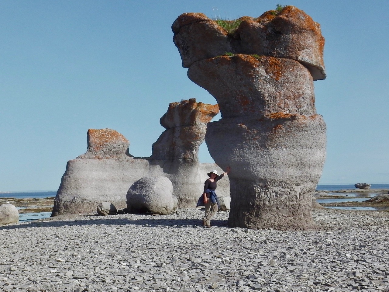
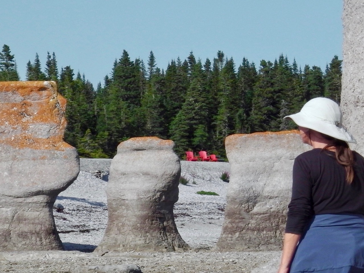
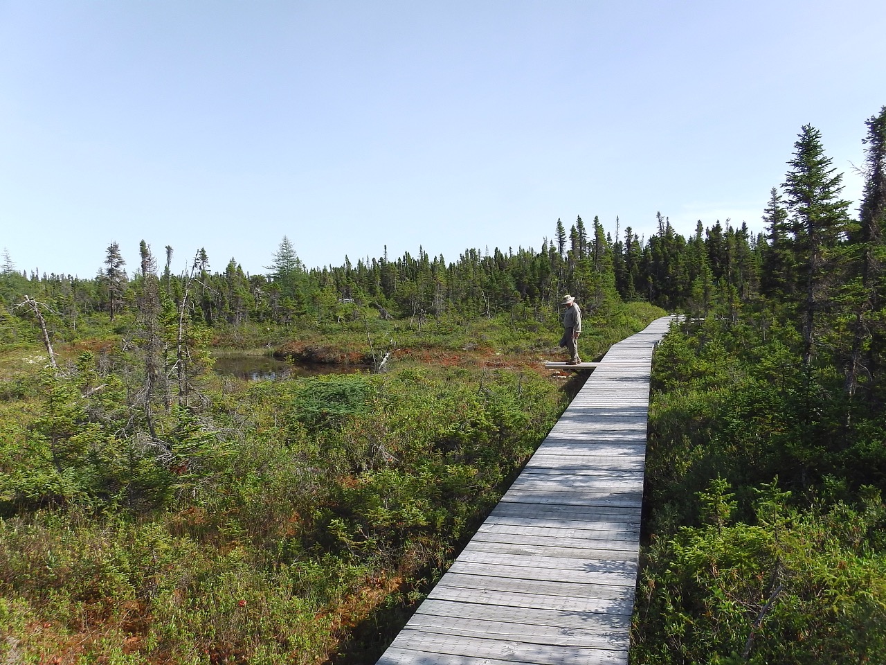
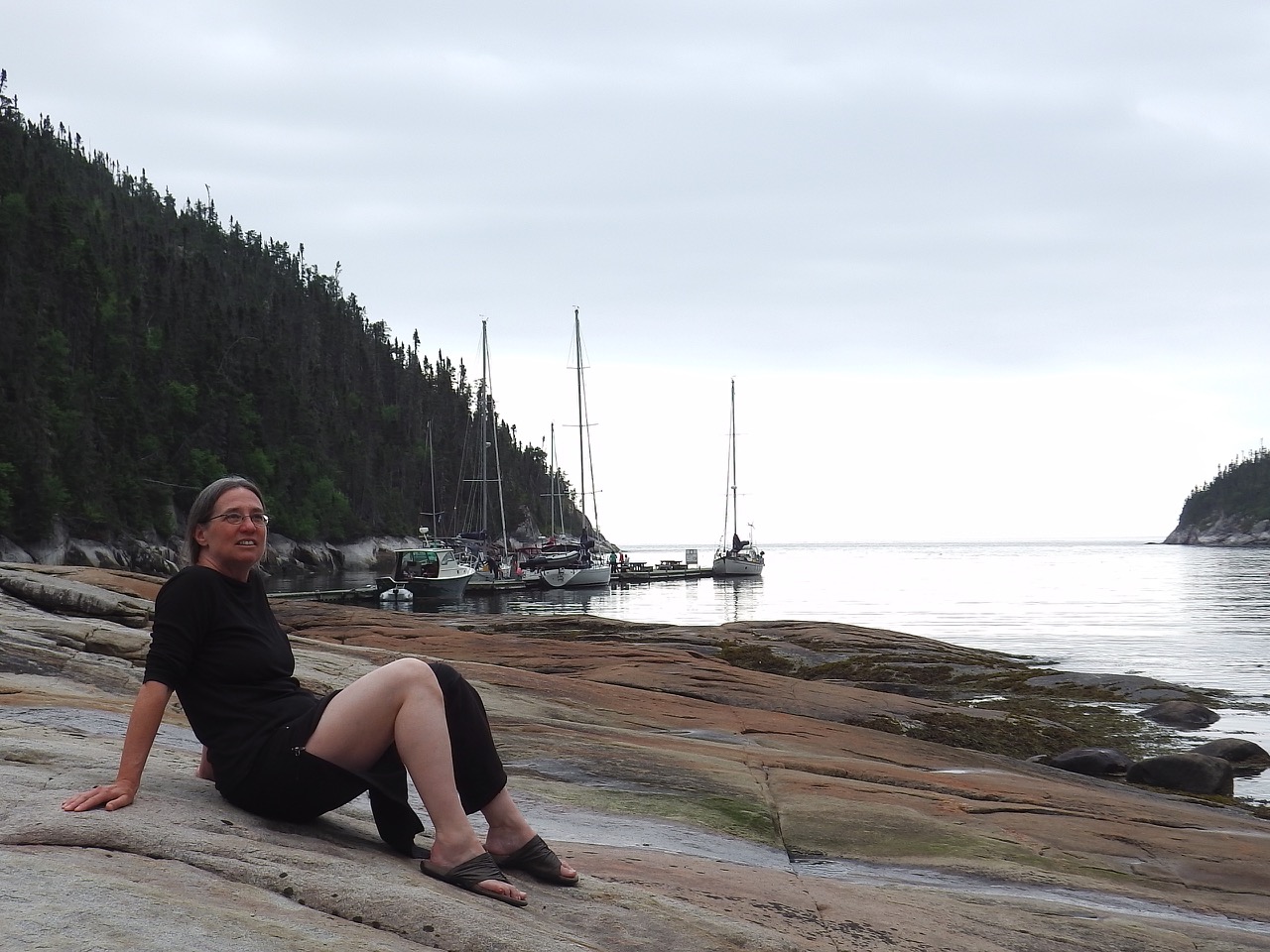
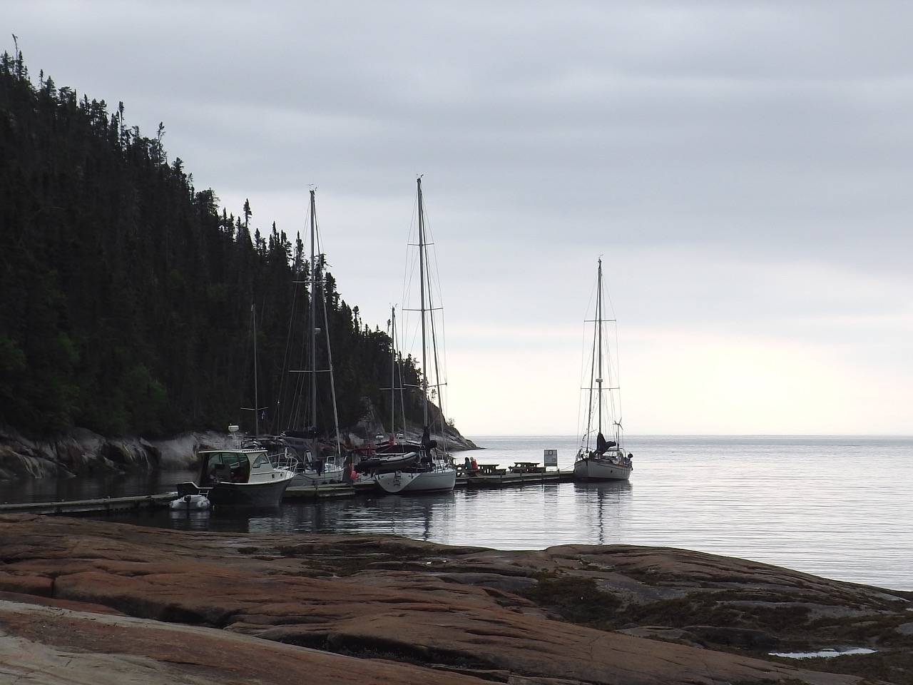
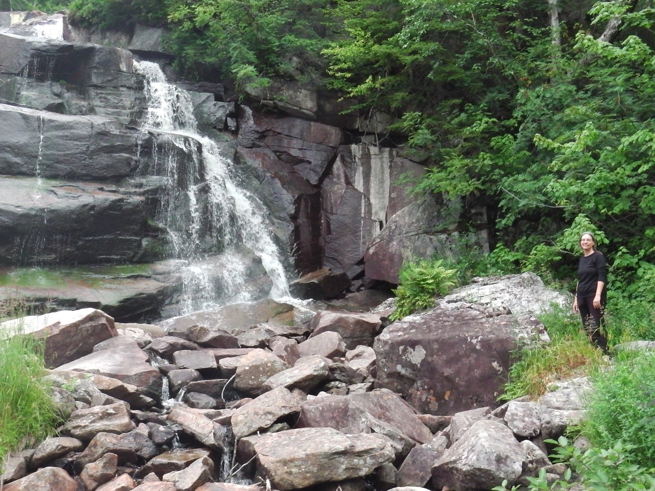
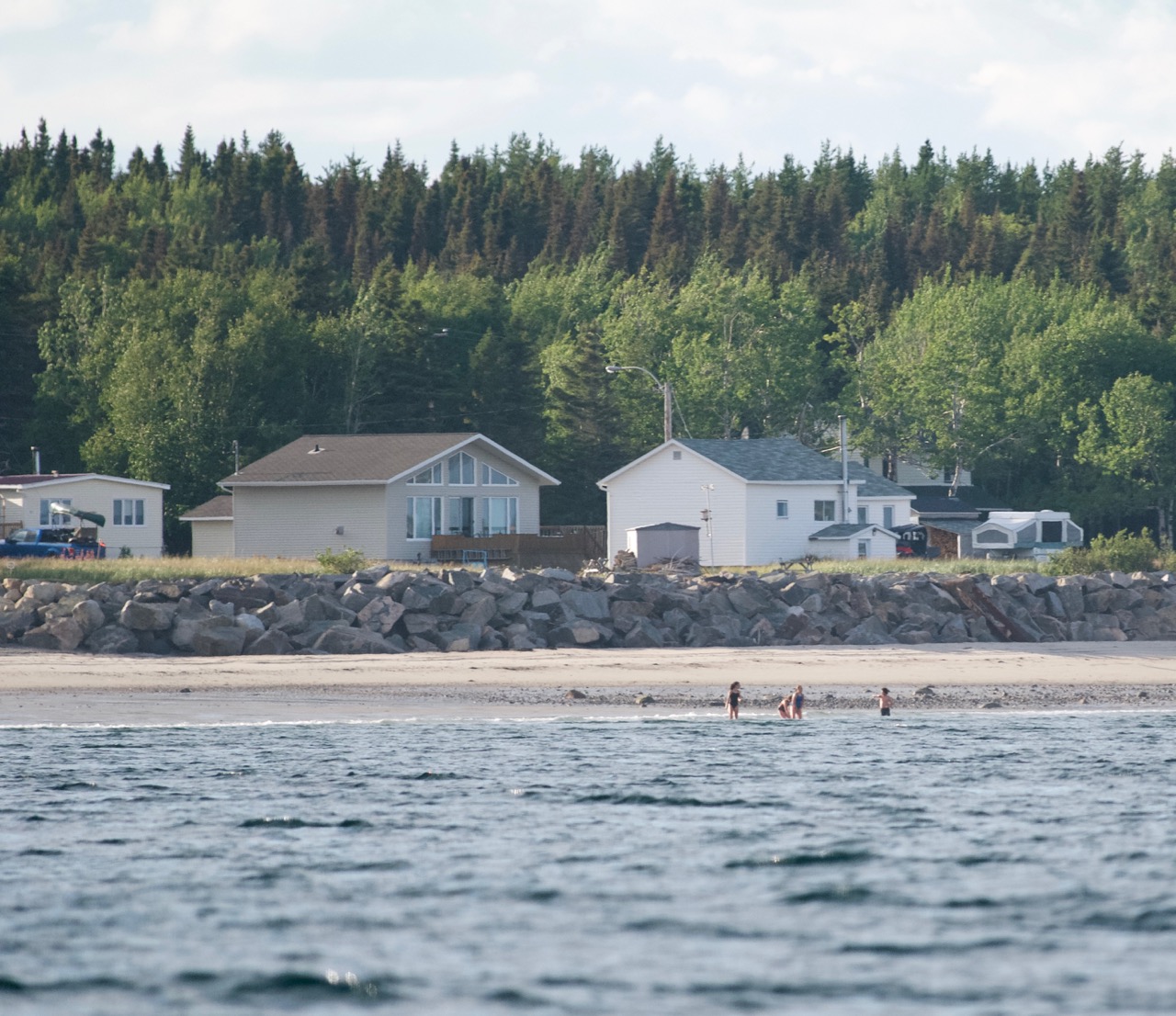
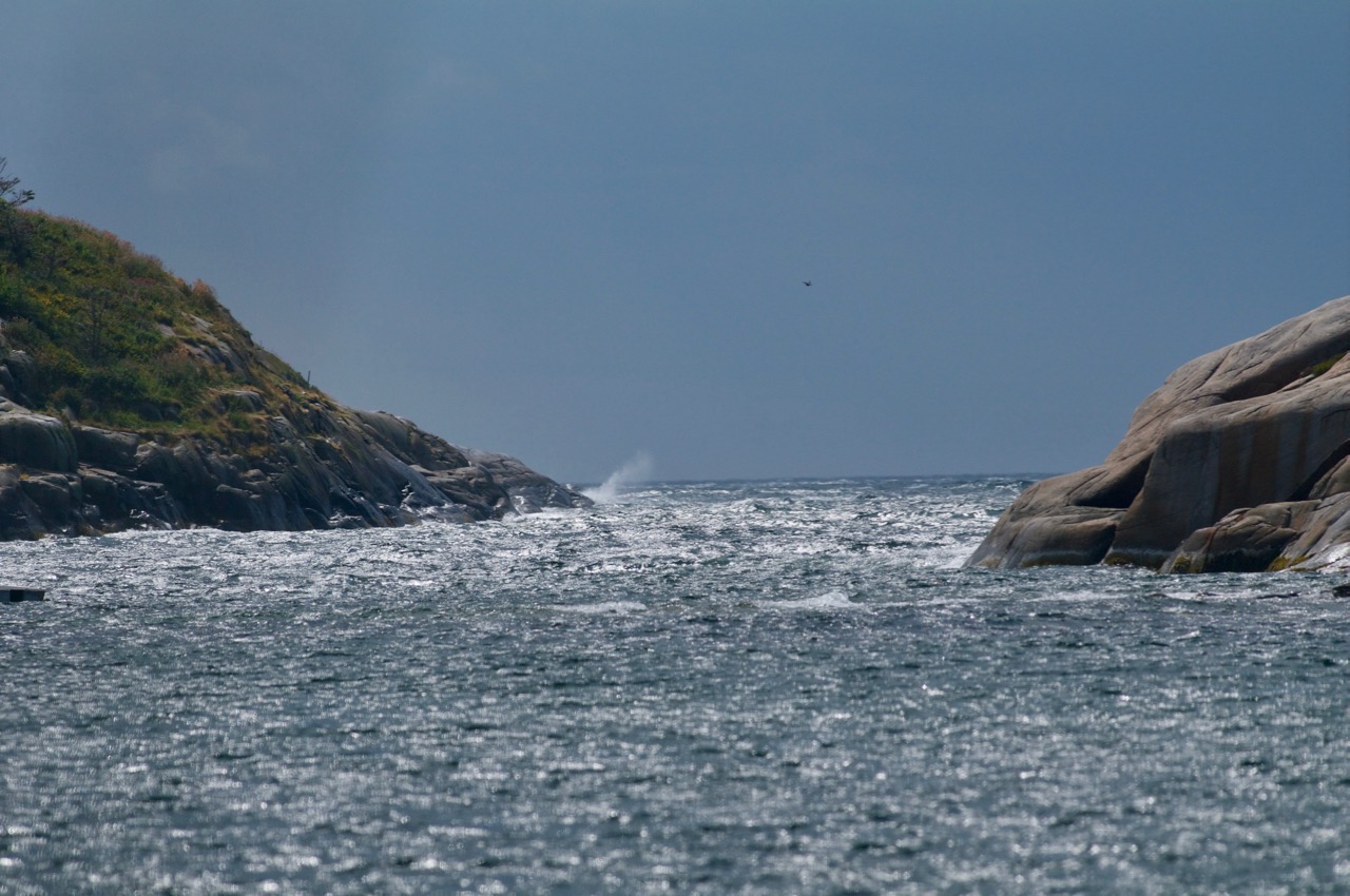
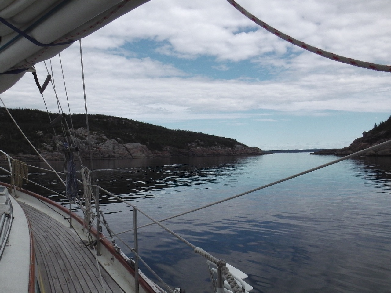
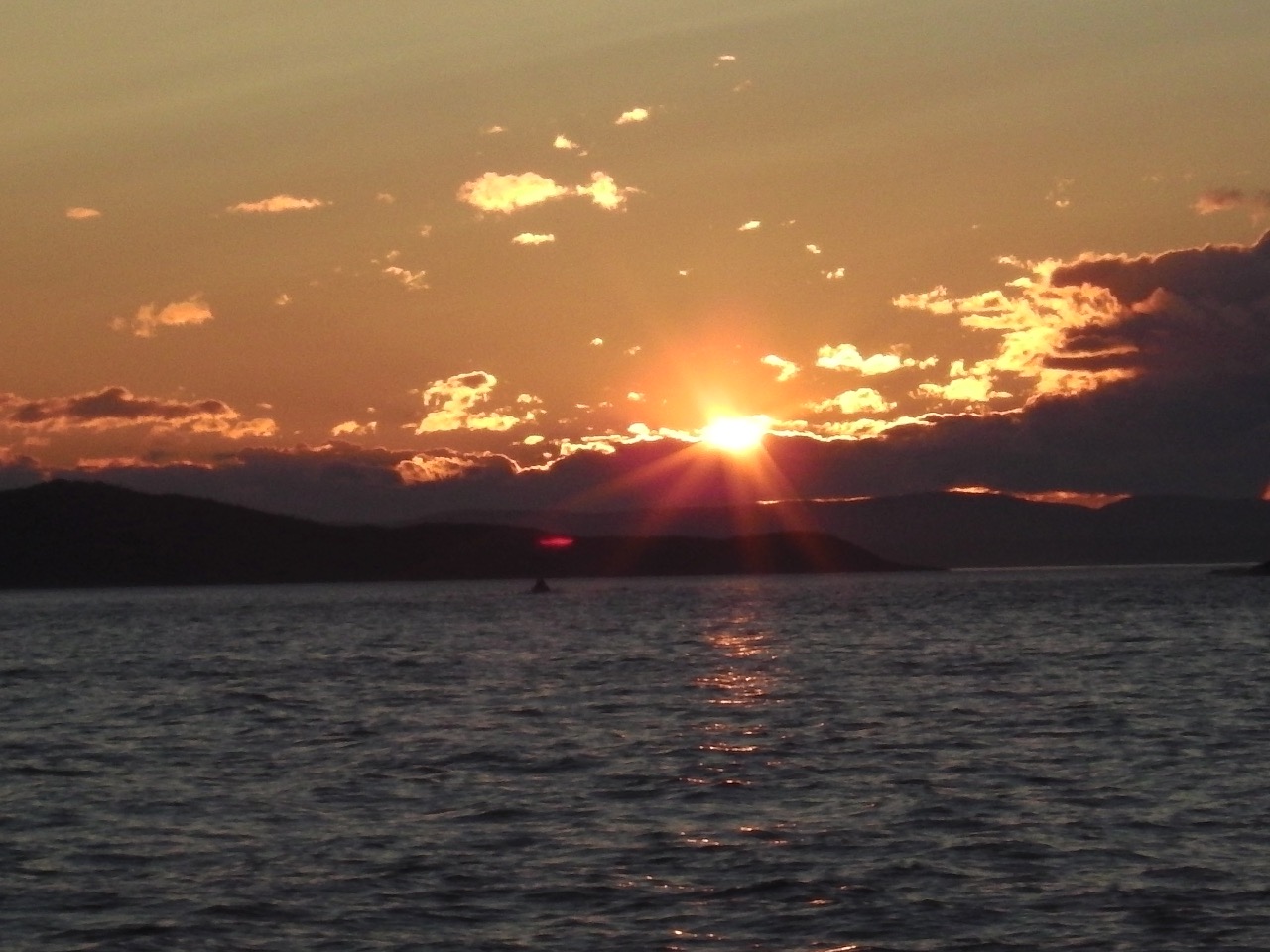
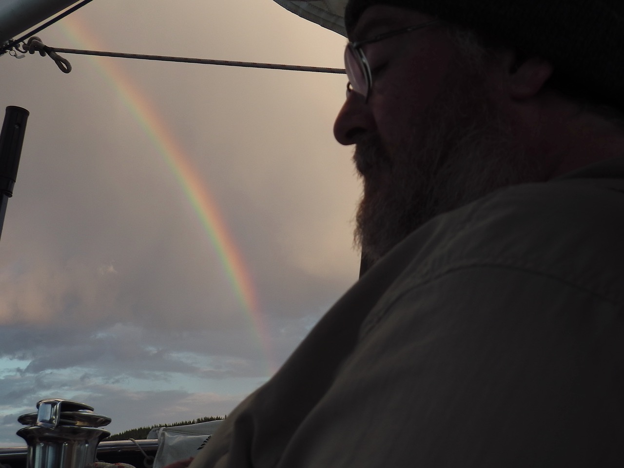
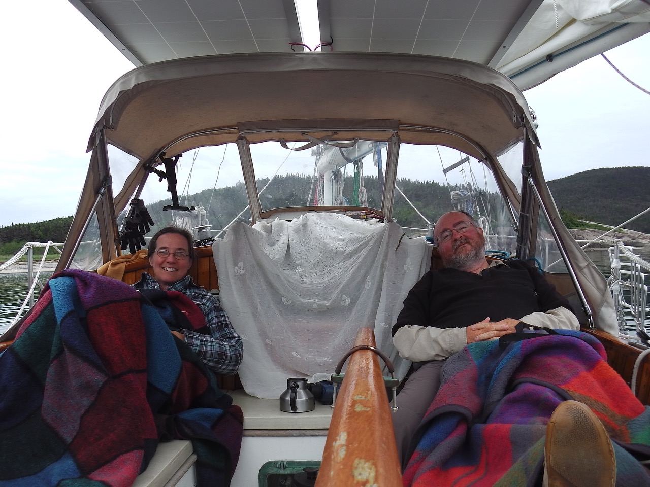
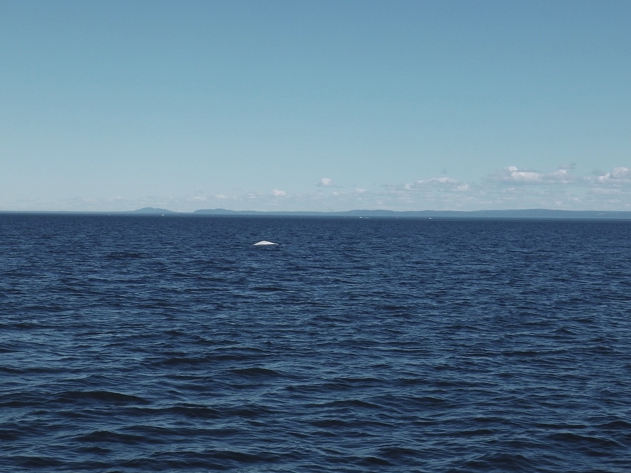
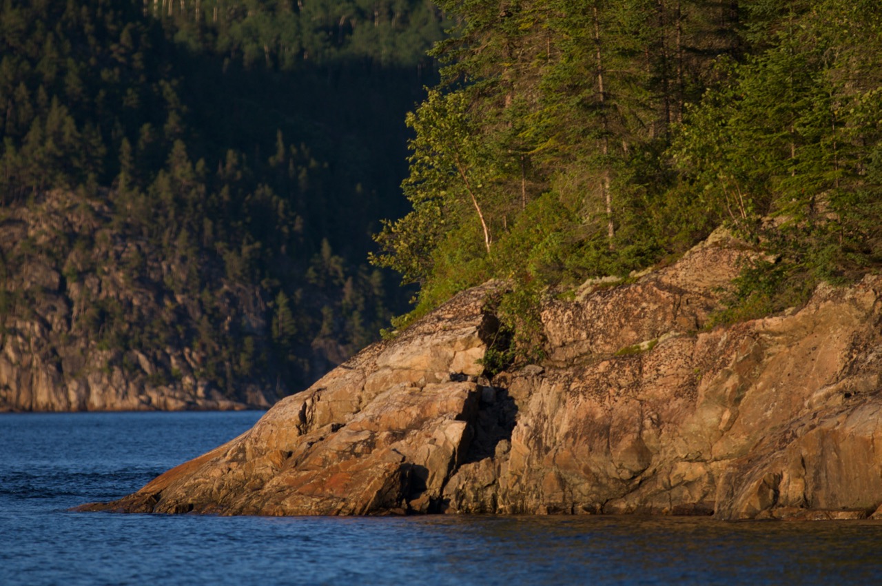
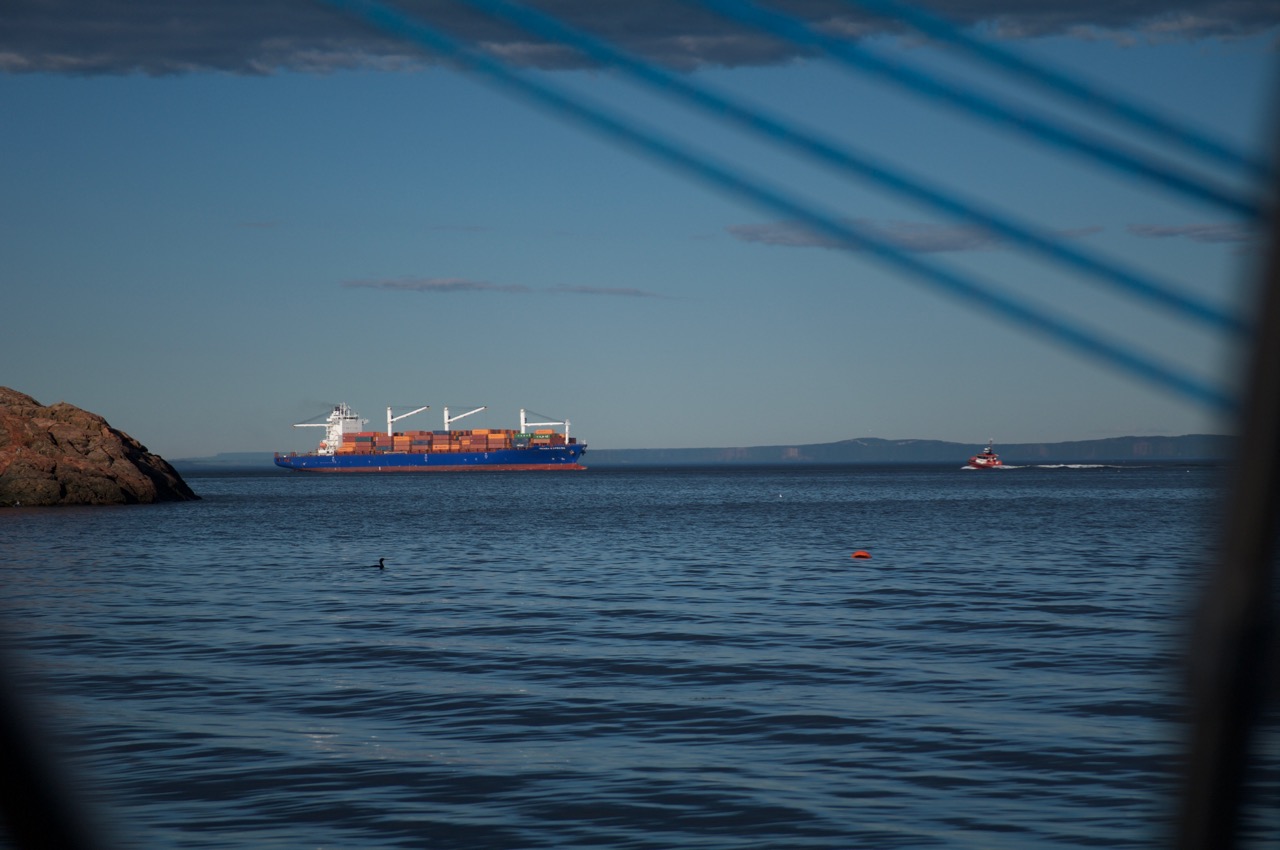
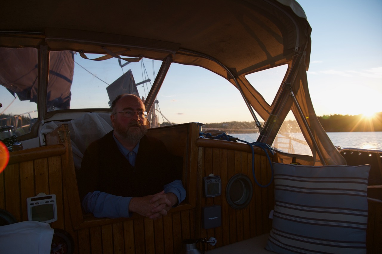
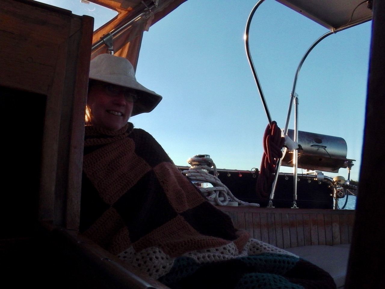
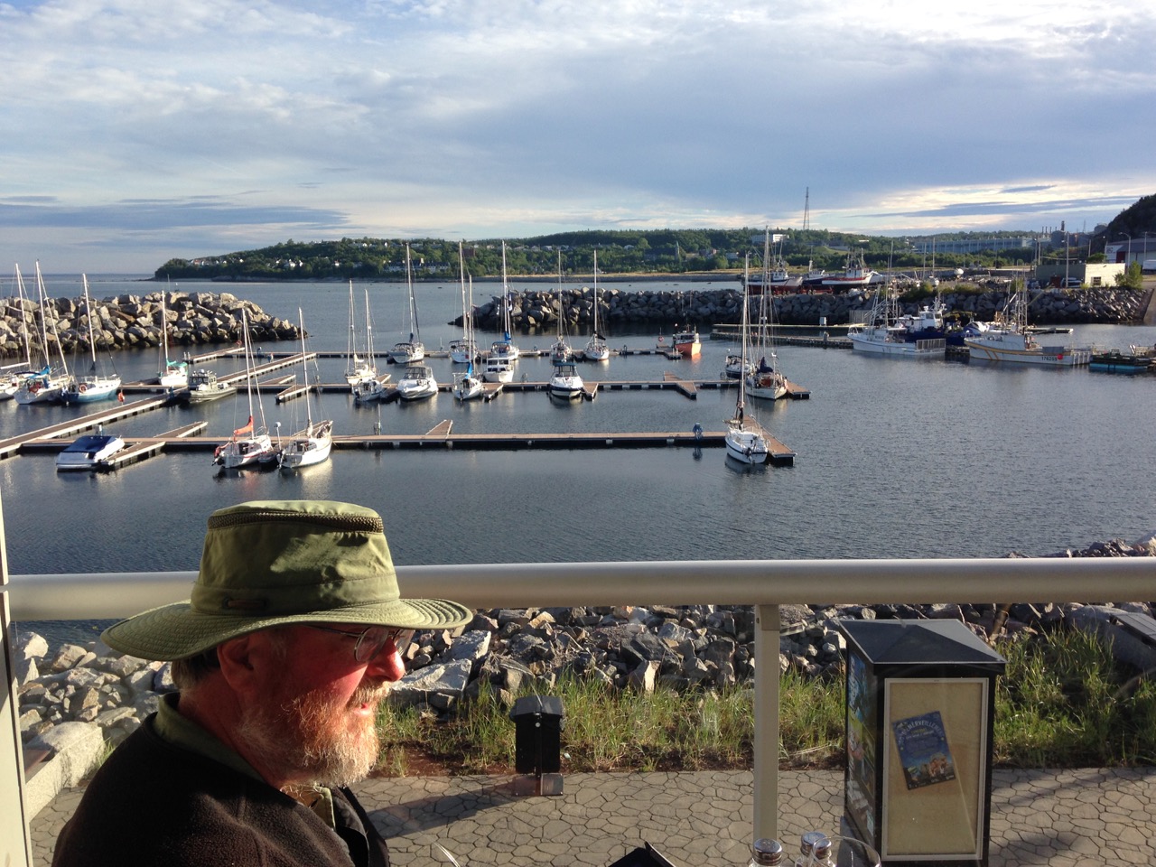
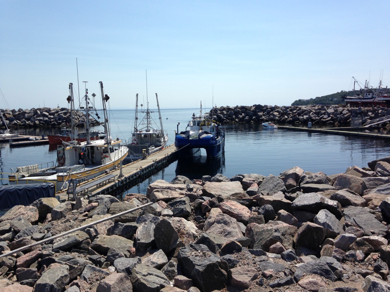
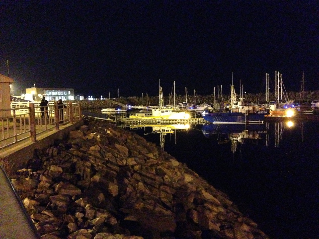
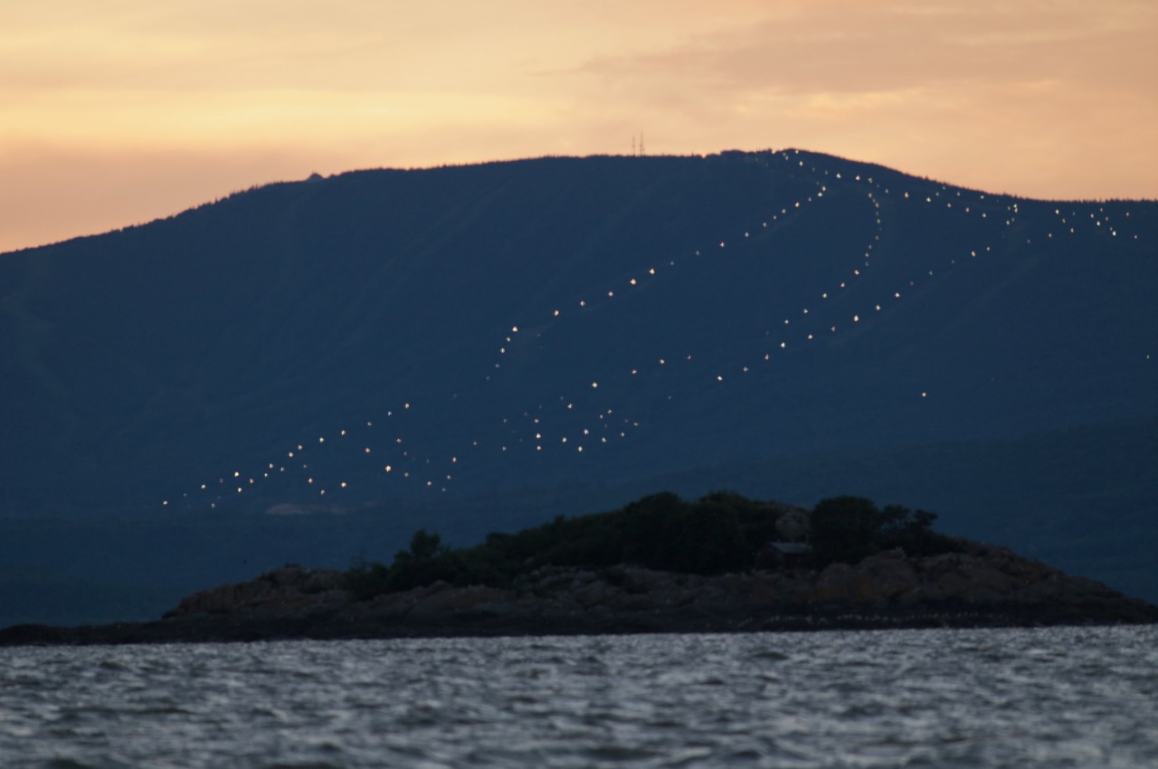
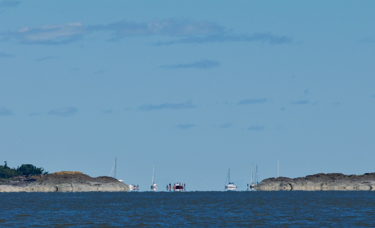
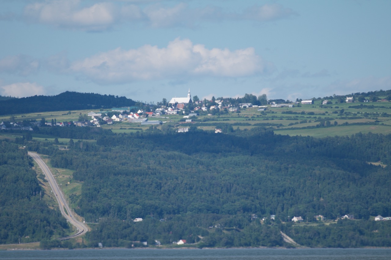
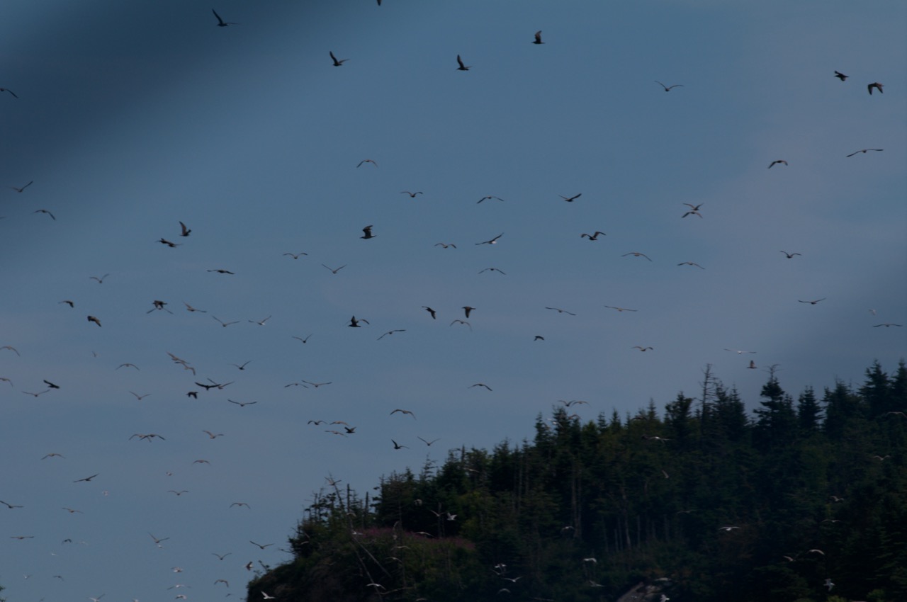
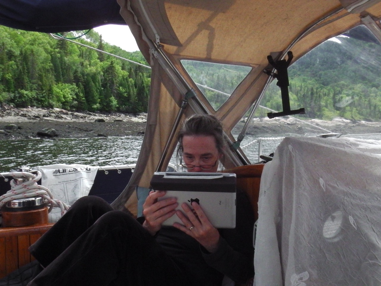
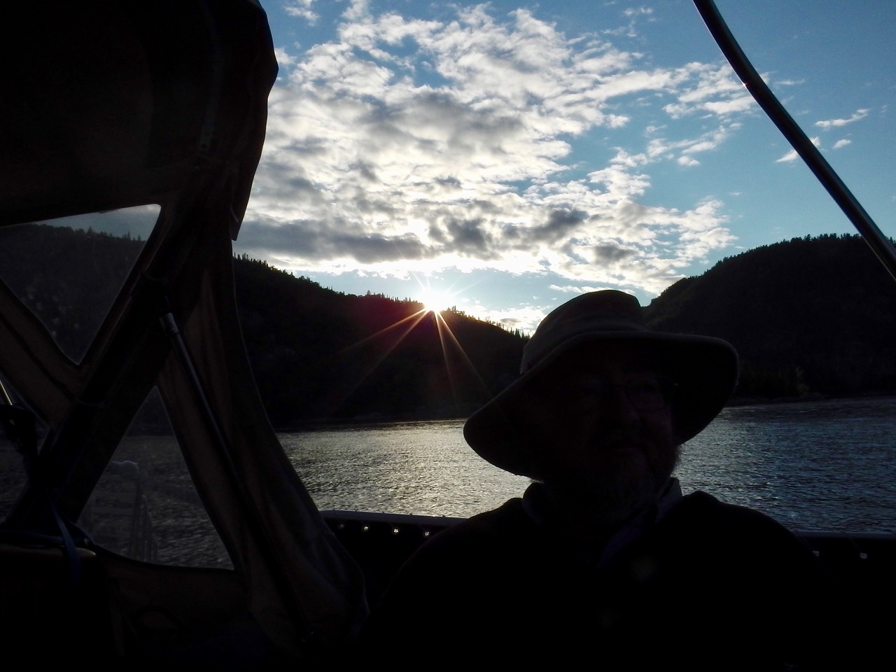
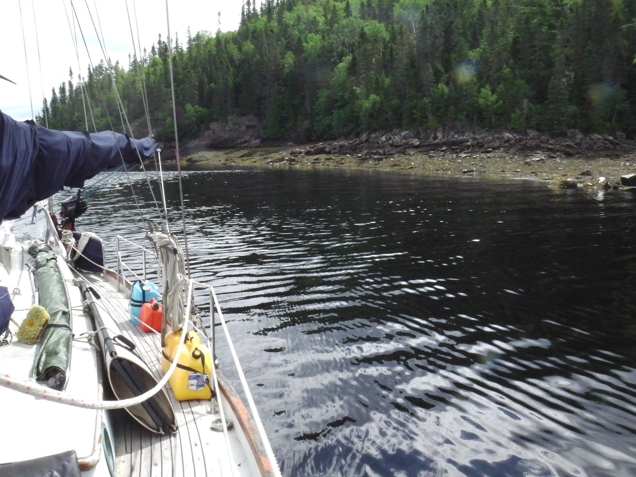
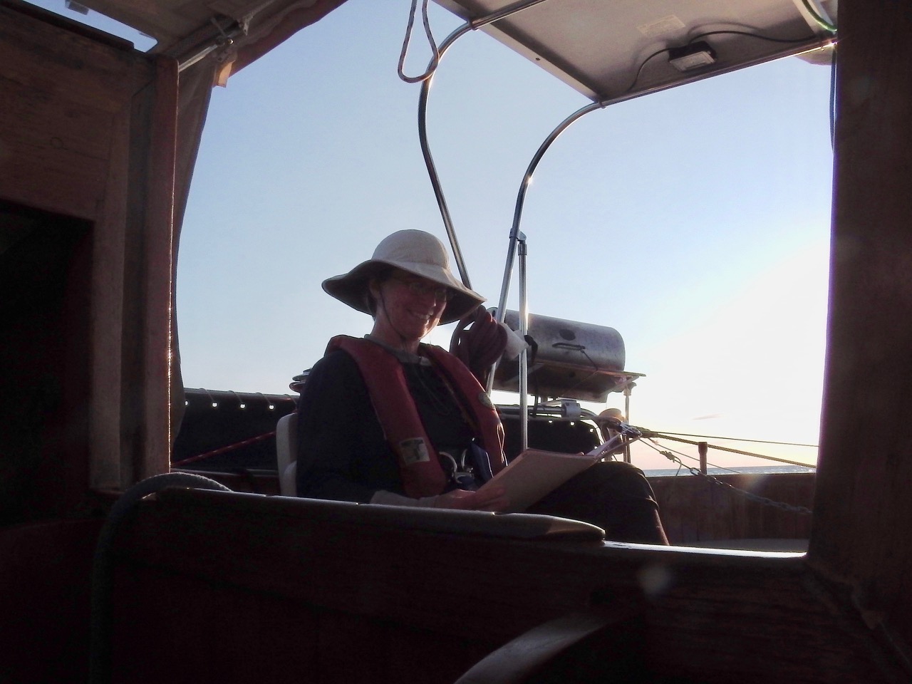
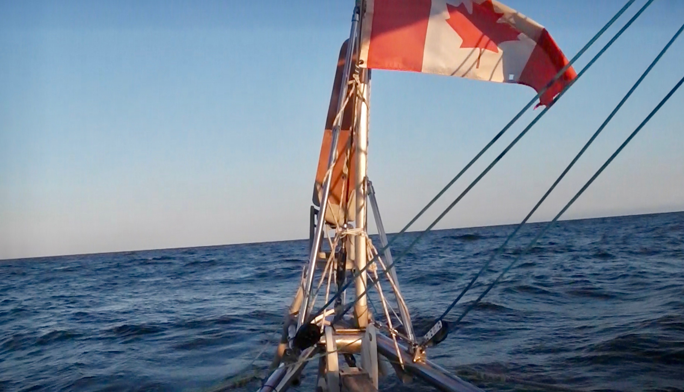
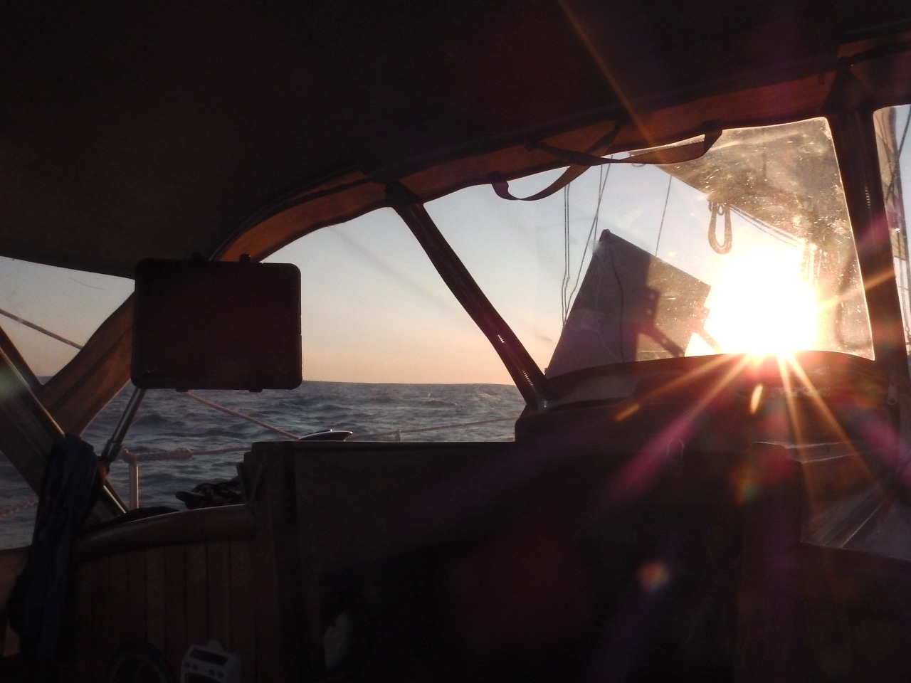
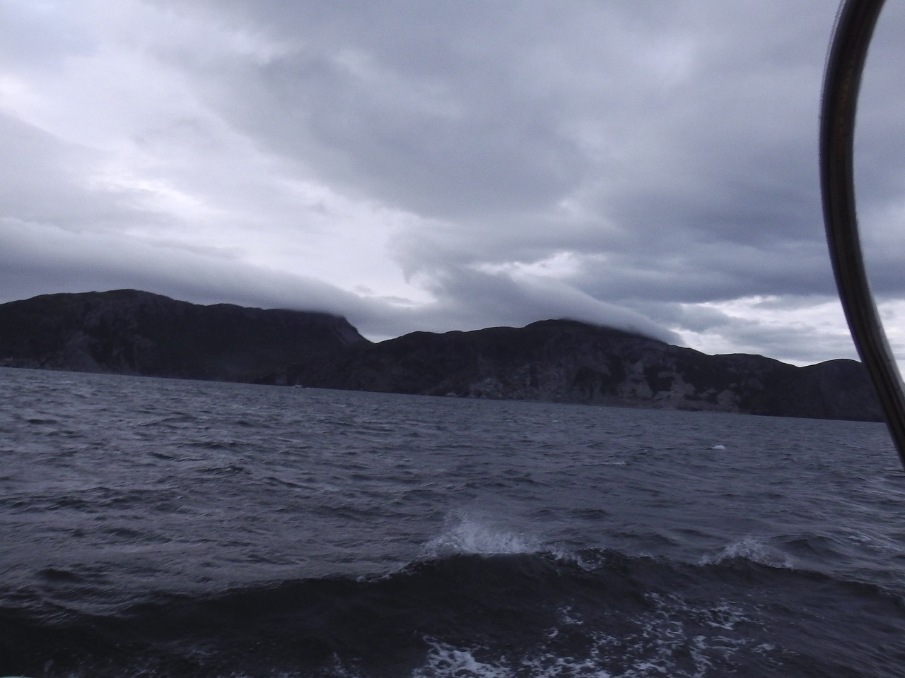
(These were taken well after the big wind and seas had passed.)

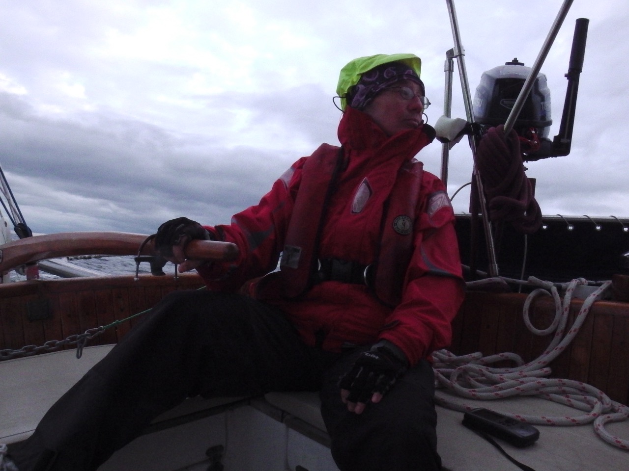
I clawed my way up to the cockpit to find Ann hanging on to the tiller, working very hard to keep us on track and safe. We were still motoring at this point, and naturally, things were looking odd with the engine. “The oil pressure is dropping!” yells Ann. Oh goodie… Our engine loses oil. It’s always done this, so we just keep adding a bit after every motoring day. But we’d been running for nearly 20 hrs now, and Grampa was running dry.

I got on my foulies, and crawled out onto the foredeck (harnessed and tethered) to raise a double-reefed sail and staysail. No easy task in the large bouncy seas, but we got the job done. Once we got the sails up Ann was able to keep us moving through the seas, so we shut down the engine and I managed to get down below, get the engine room opened, and get enough oil back in to make Grampa happy once again.

Things were looking good. The engine was purring away, and winds that had risen to high teens had dropped back a bit. Seas subsided a little and we thought we were home free. But Newfoundland was not happy yet. We still had to prove our mettle.

IMGA0955
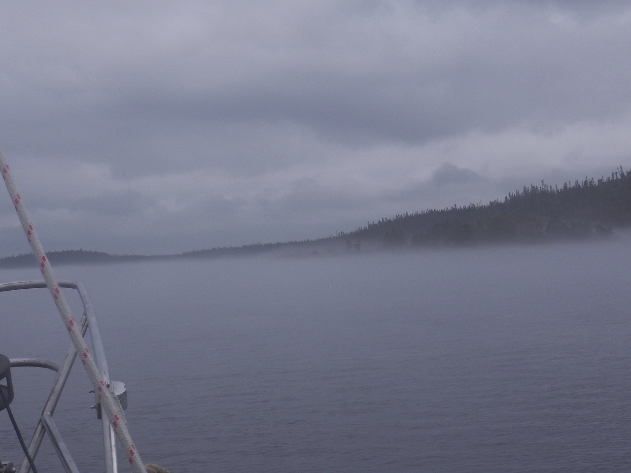
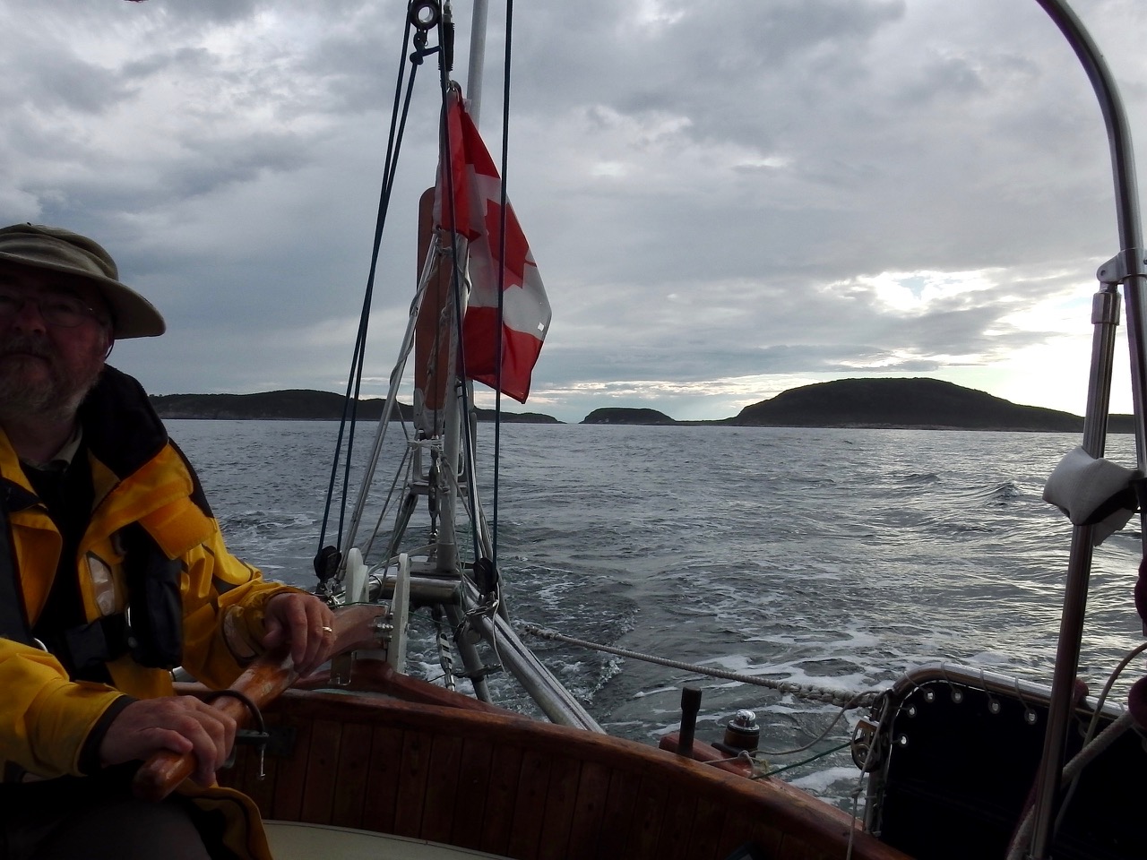
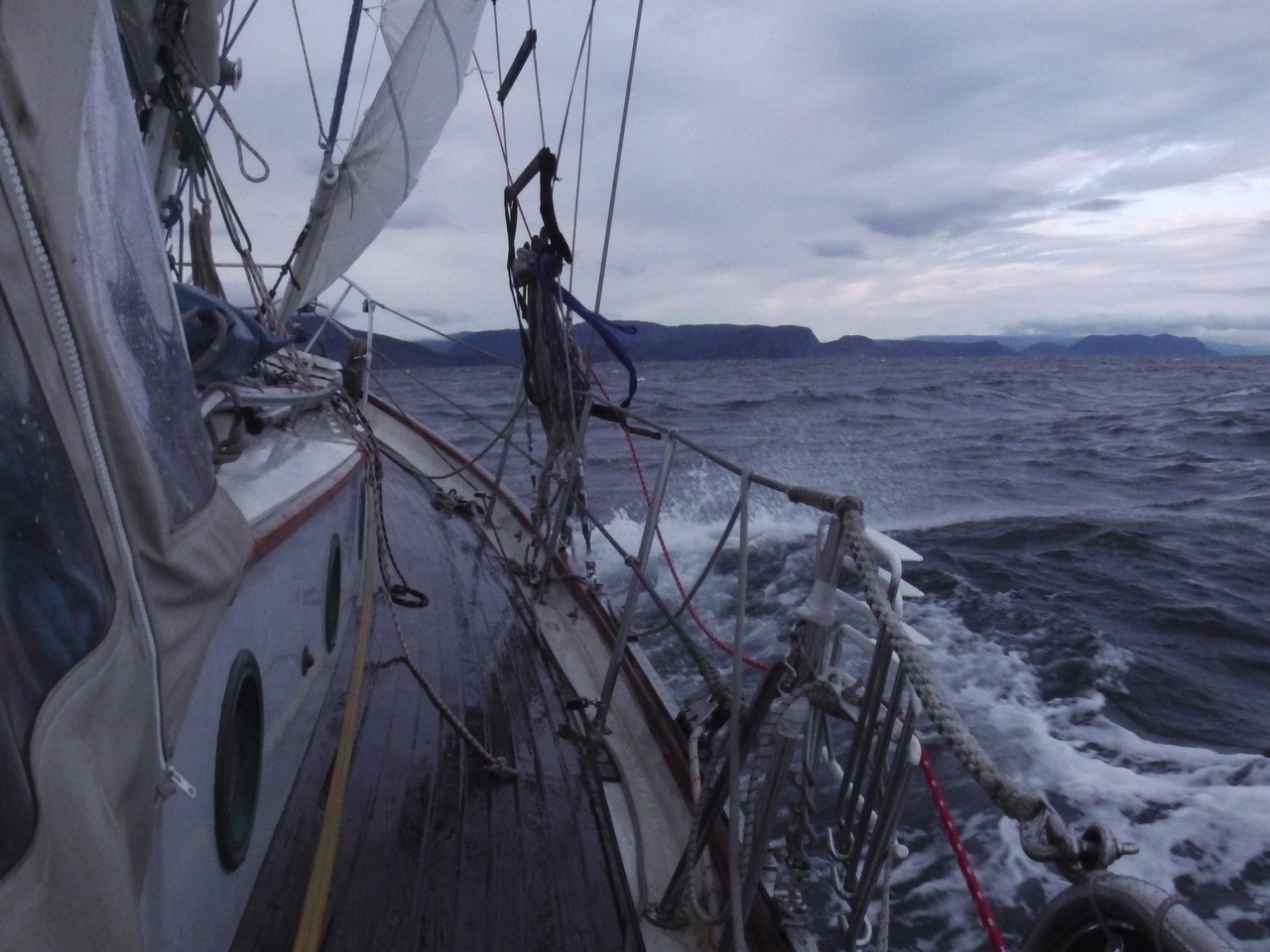
By about 3 am wind and seas started building again. The nor’easter that the forecast promised wouldn’t hit till late in the day had overtaken us. We were now facing near-gale wind right on the nose, and rapidly building seas. By then the day was dawning and we could at least see the land. Of course we could also see the big waves … sometimes it’s better not to see them 😉

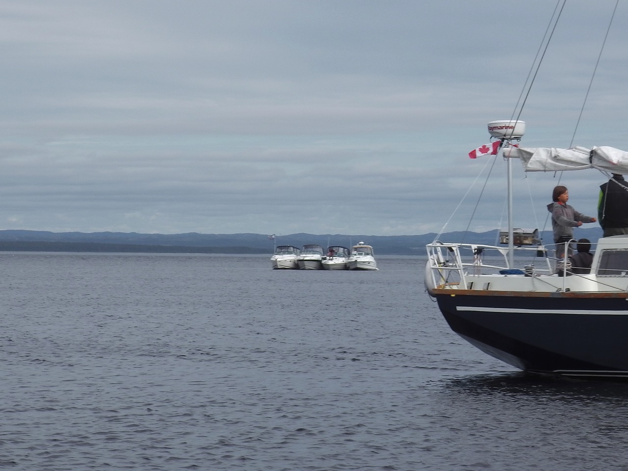
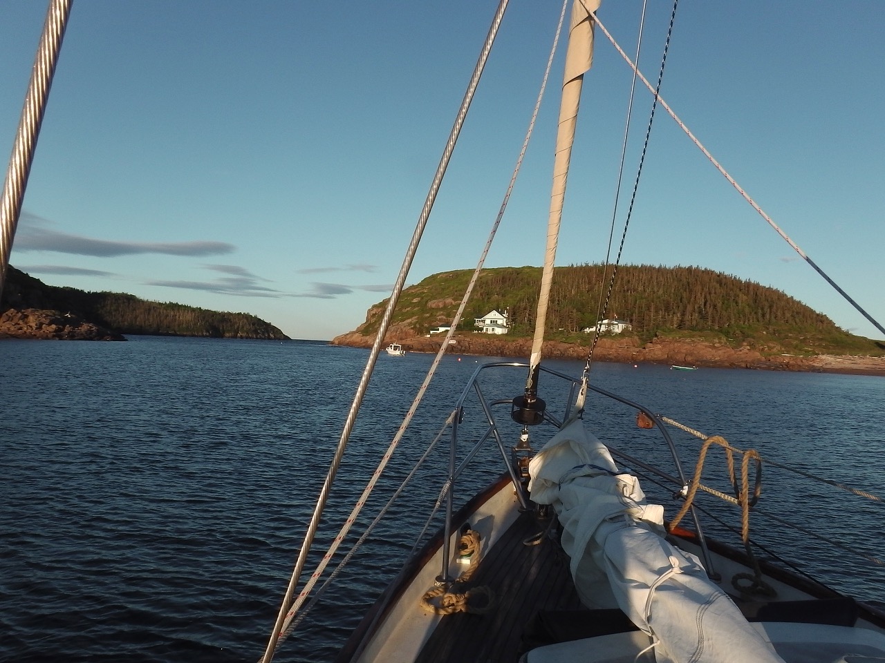
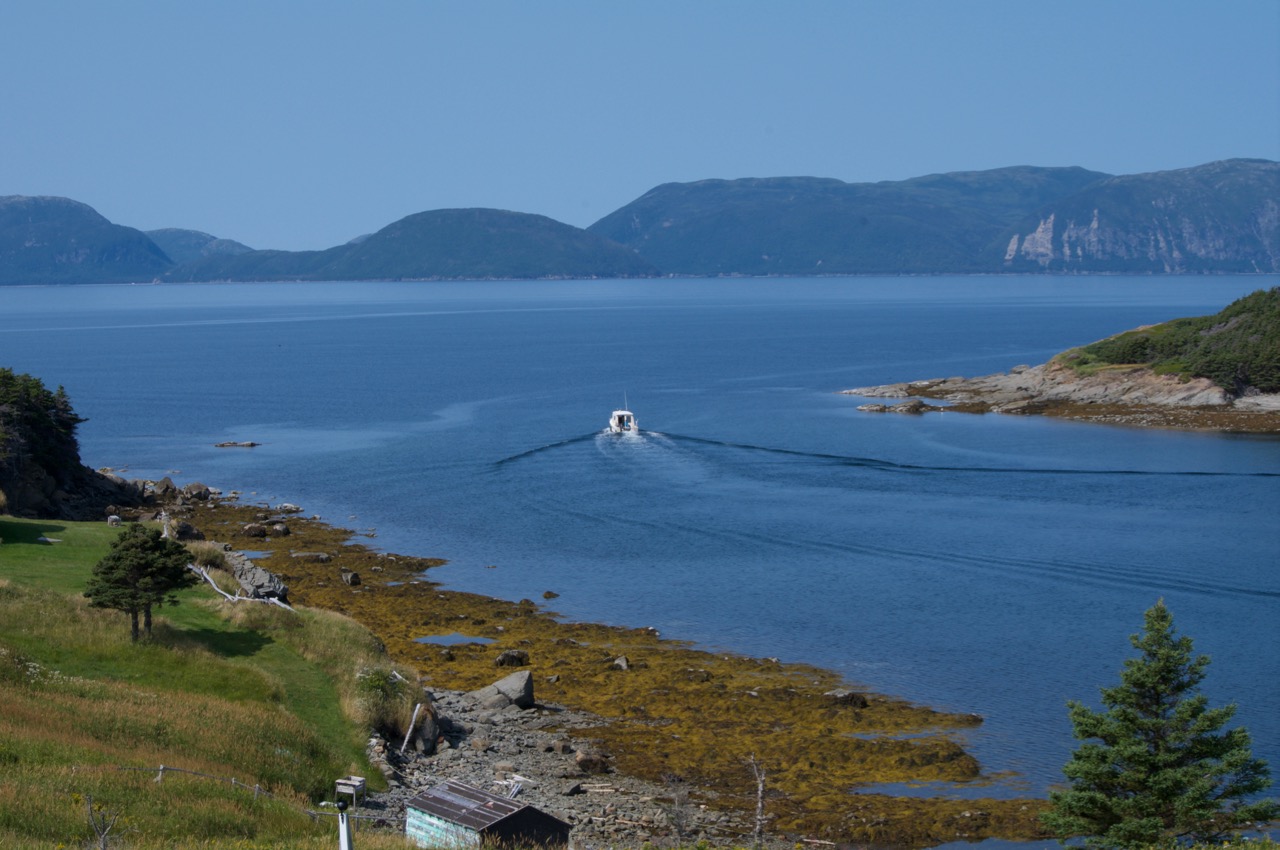
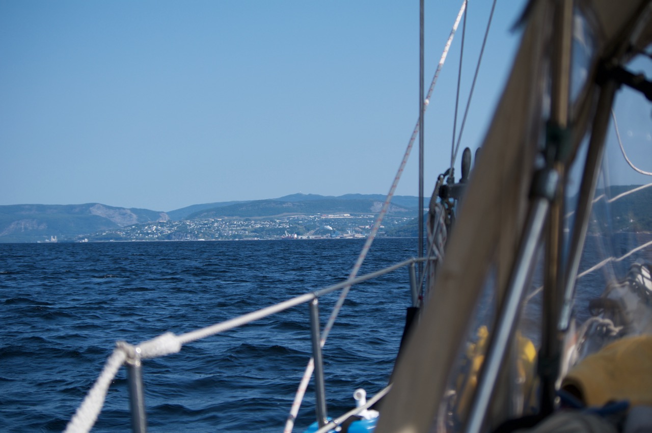
Anyway, it took us the next six hours to travel the few nautical miles to enter the Bay of Islands. With Ann’s expert helming (she wouldn’t let me touch the tiller till the worst had passed), and Pachina Mia’s awesome nature, we managed to make it inside the big bay. Once inside the bay the seas dropped off, giving us a relatively easy sail to our anchorage.

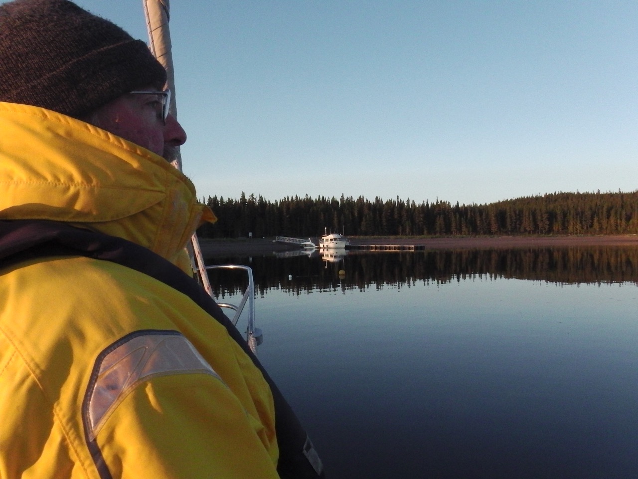
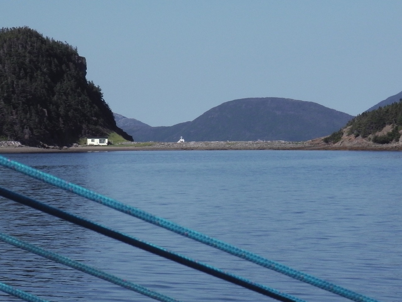
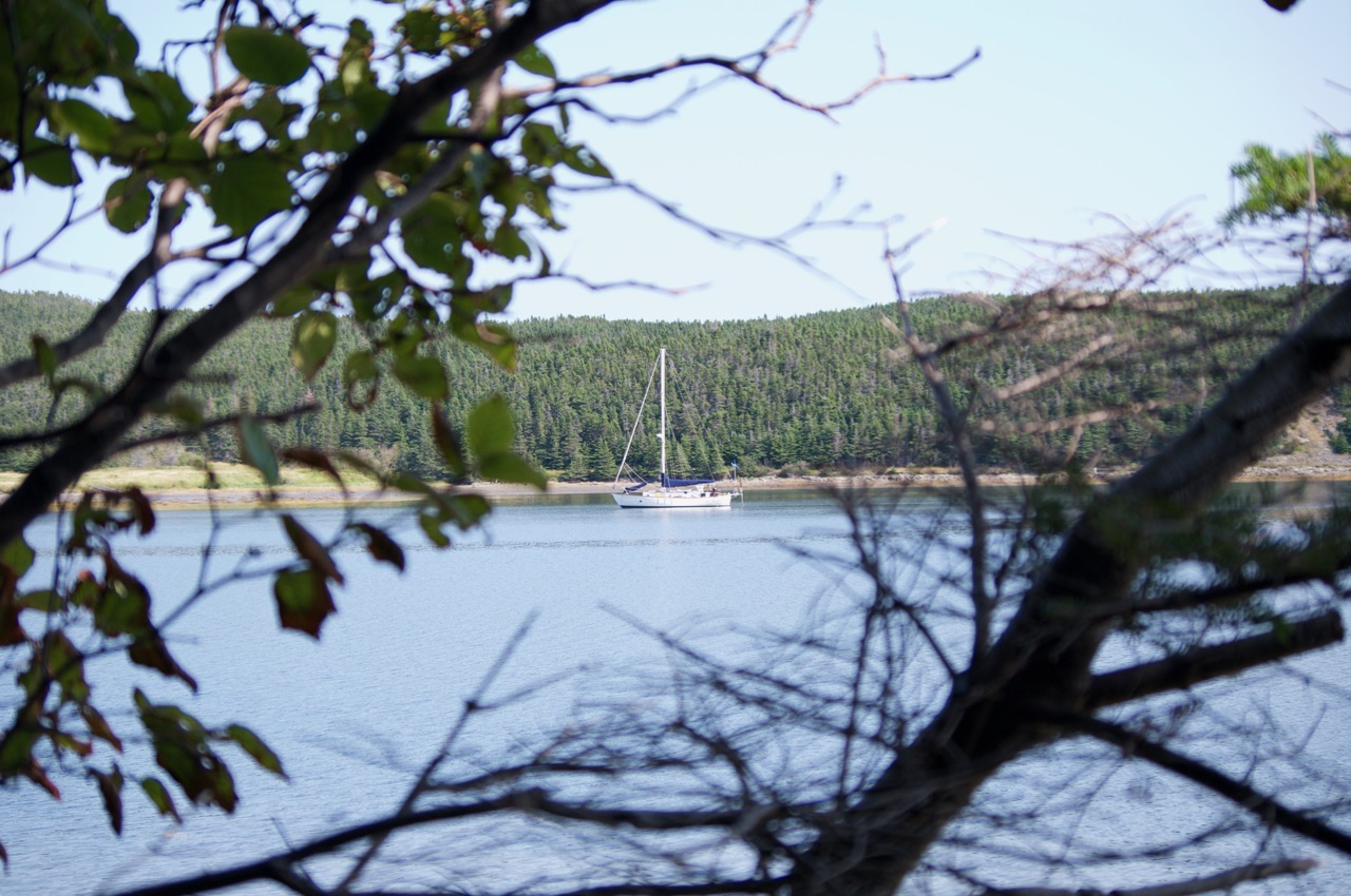
We found our way past the shoals and entered Wood’s Island anchorage. It was about 9 am and we were just about to drop the anchor when a skiff came roaring over to us. “Welcome to Corner Brook Michael O’Reilly!” yells the one fellow … ?!?

Not often does one sail 62 days only to have the very first words you hear being your own name.

Turns out the fellow was/is Byron. He is a member of the Bay of Islands Yacht Club — our new yacht club. I had emailed the Harbour Master a couple weeks earlier, letting him know we were getting closer. Turns out the whole club seemingly knew we were coming b/c we later met a few more boaters in the anchorage who knew all about us. Gotta love small communities!

Anyway, we encountered a few more problems getting the anchor down (the chain pile had completely flipped over in the locker with all the huge seas), then discovered one of our hatches had leaked onto the bed. The boat was a general mess, and the composting head had flooded from water coming down the air vent.

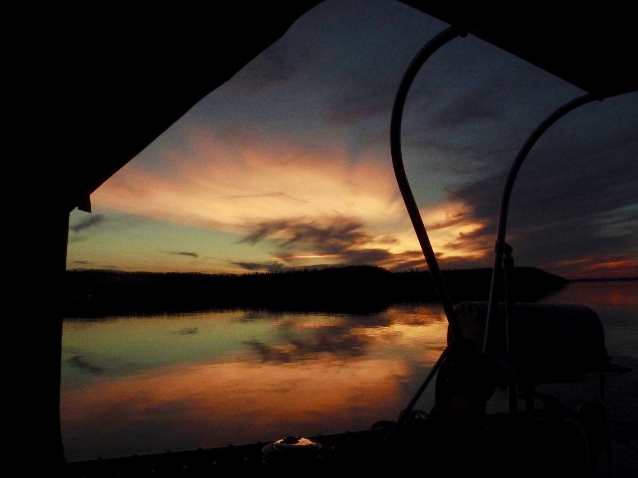
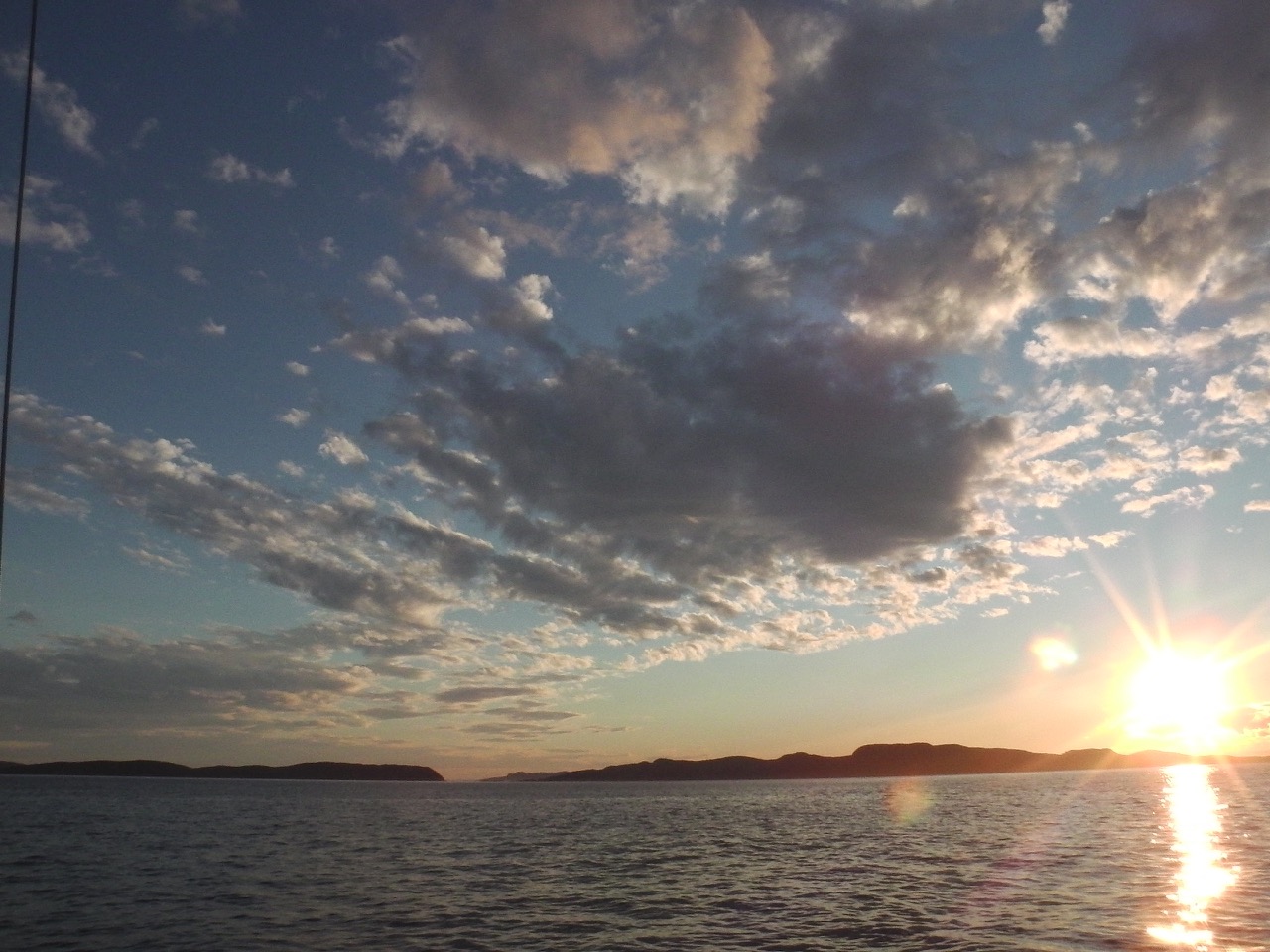
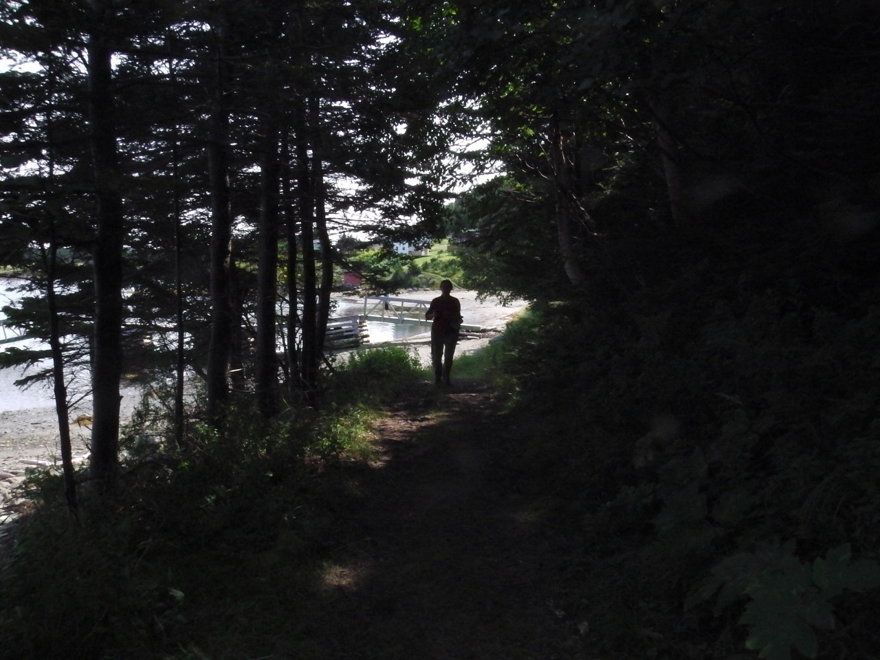
It took us a few more hours to sort all this out. Then we ate something. Had a quick toast to Newfoundland, and went to bed. We slept for a goodly long time before waking up to the stunning beauty of the place.

IMGA0992 (1)


“This is why we left Lake Superior!”

_IGP5664 _IGP5660 IMGA0979 _IGP5670 (1)

_IGP5656 IMGA0984 _IGP5654 _IGP5687

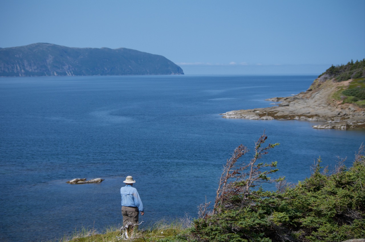
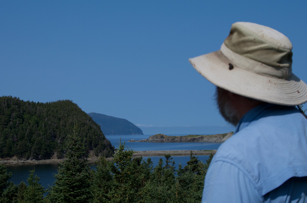
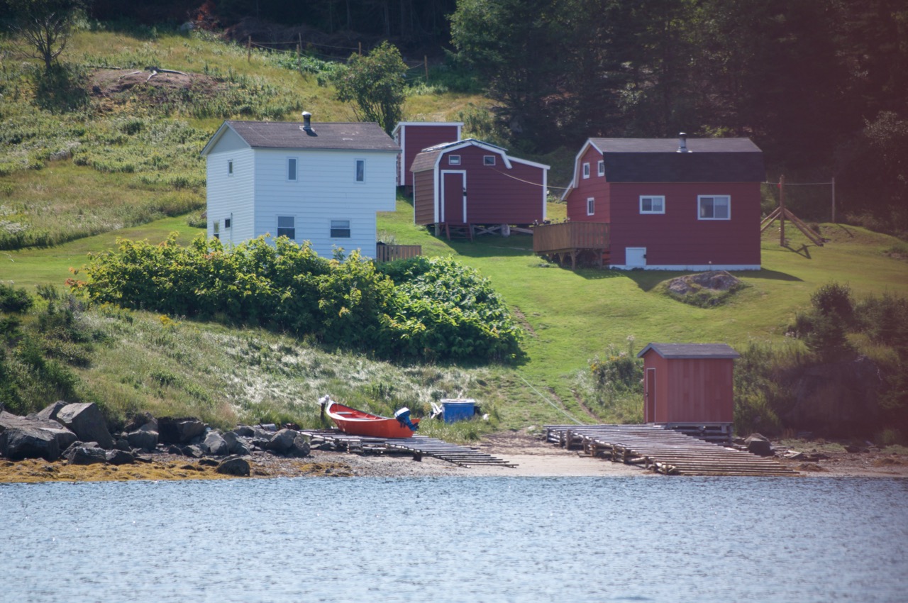
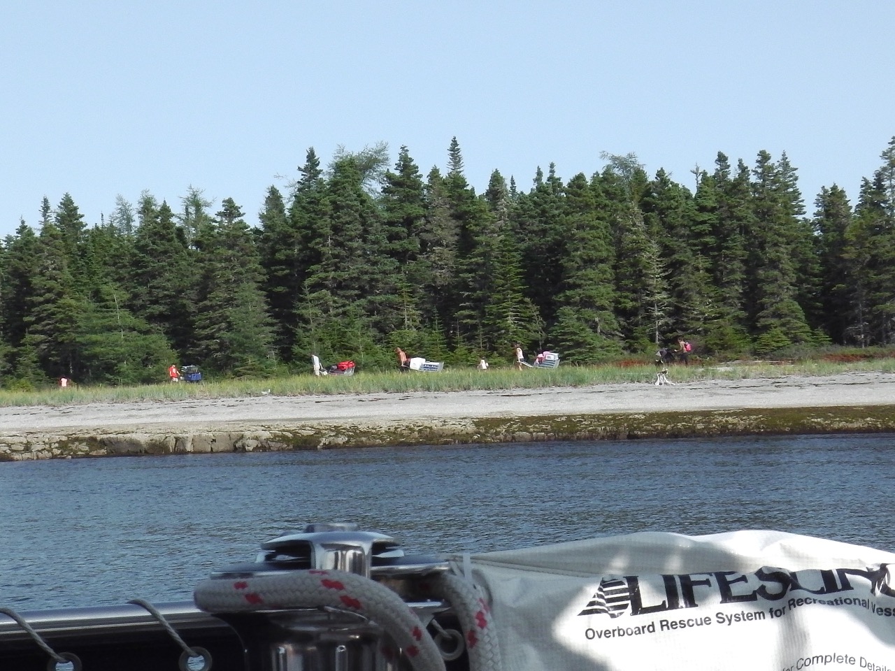
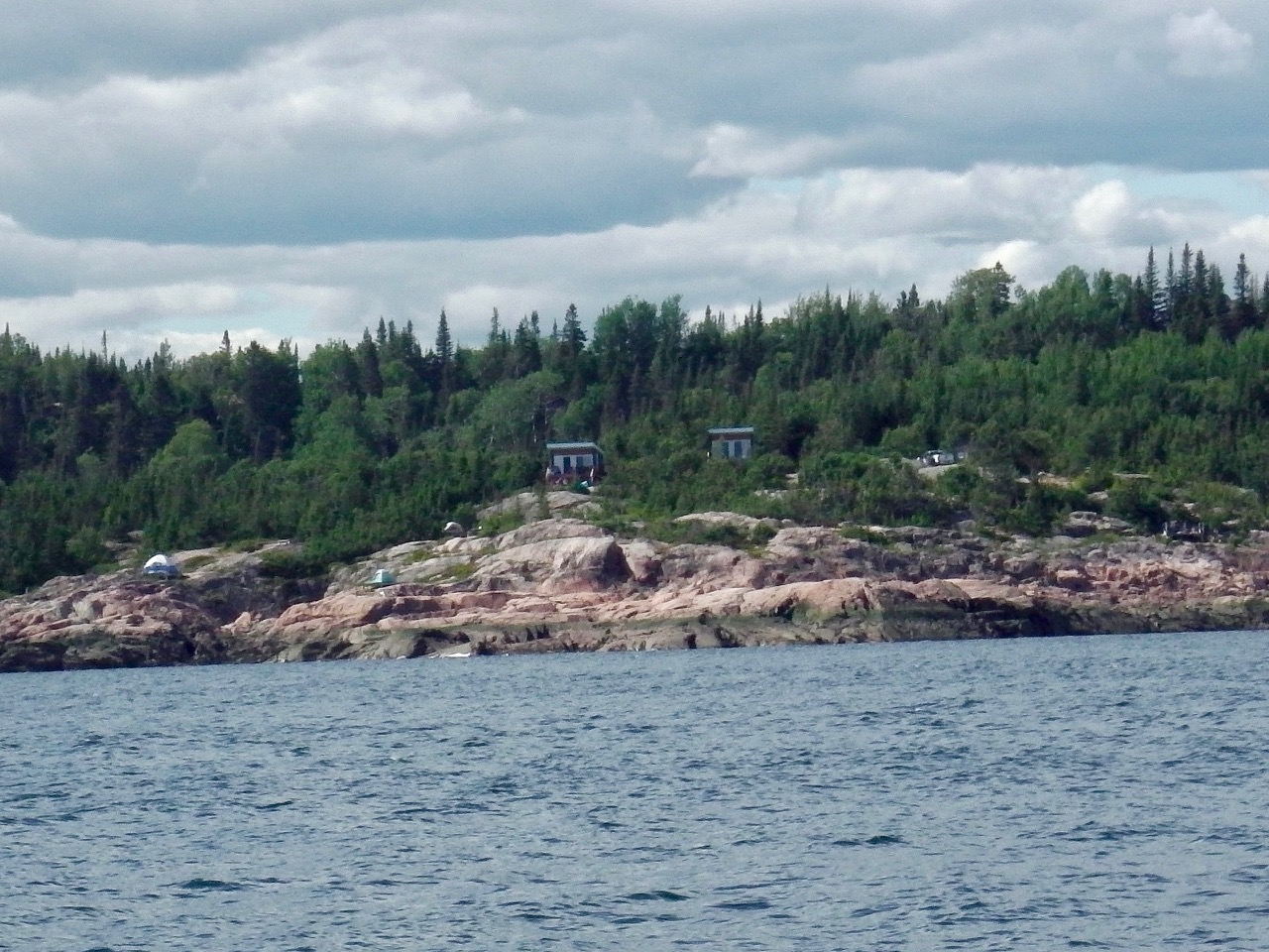
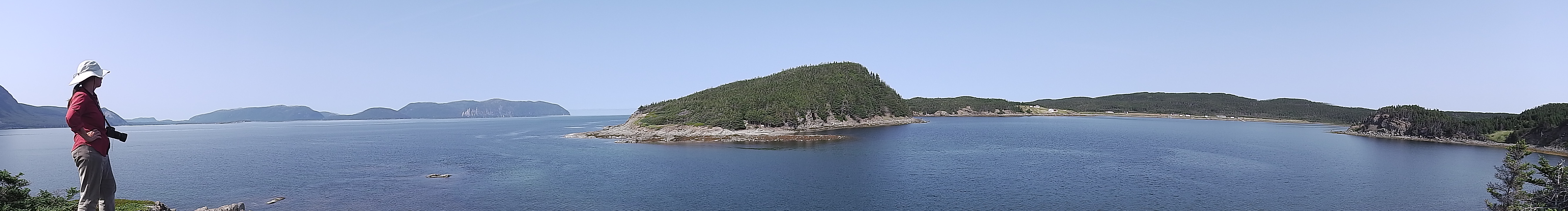
Wood’s Island was once a thriving fishing community. It was apparently the largest community on the west coast at one point. Now all that remains is a small collection of camps.

_IGP5652
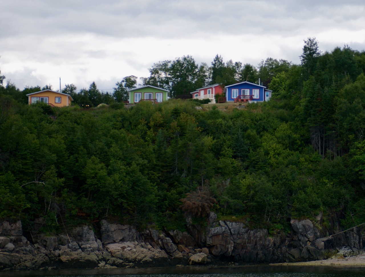
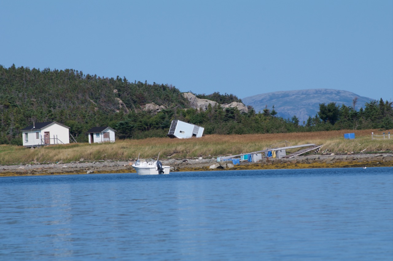
The anchorage remained peaceful and calm the four days we were there. But we were warned the winds can become pretty fierce, even in this protected bay. And as evidence, we could see a house that had blown over — yup, blown over…

IMGA0978
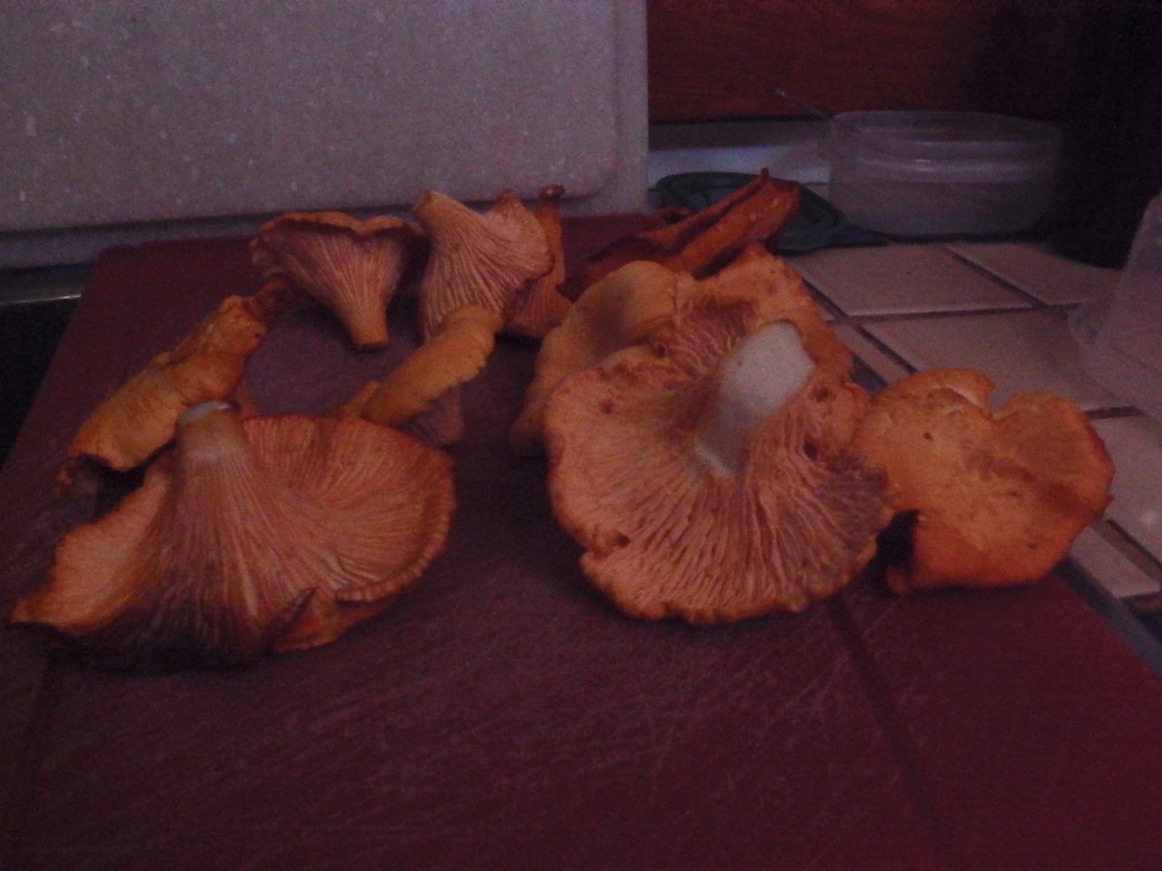
We spent the last few days relaxing and sorting out a few more problems on the boat (turns out, we were sinking faster than normal…). We rowed ashore and met a few more of our fellow club members, all of whom had heard we were coming. Don & Lisa, and Gordon & Leonna greeted us warmly, gave us (me) beer, and fresh-picked chanterelle mushrooms which we ate and drank with gusto!

_IGP5693
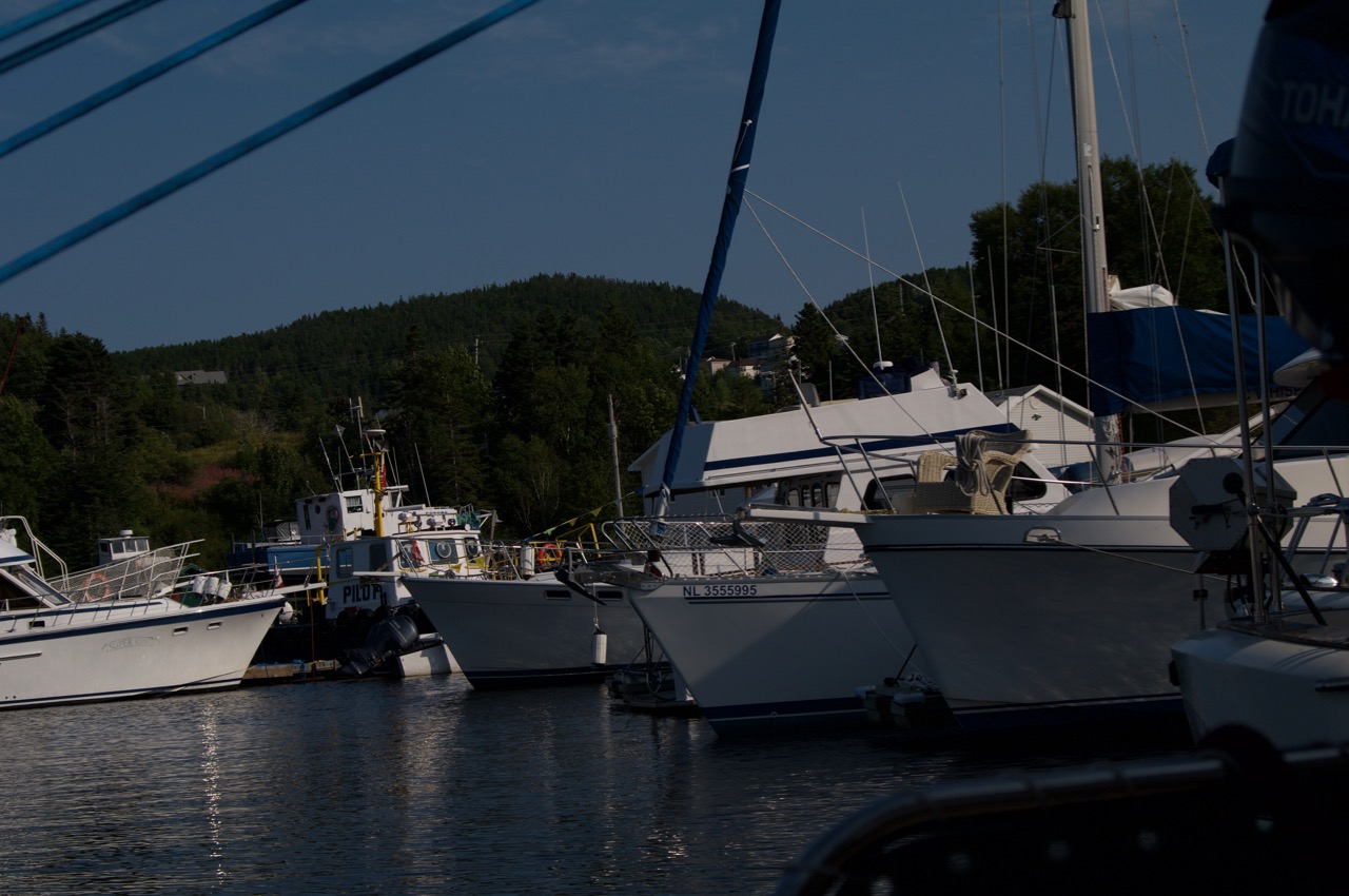
With weather predicted to come in we decided it was time to officially end our journey. We had a great sail, coming into the Bay of Islands Yacht Club. This feels like home for the next few years (at least). The warm welcome continues.

_IGP5696The friendliness of Newfoundlanders is legendary, and accurately earned. Everyone has been amazing. When we casually mentioned that our car wouldn’t arrive for another week Byron casually said, “no problem. You can have one of mine.”

We love it here already!


Mingan magic

_IGP5573IMGA0841

We spent two more days hiding from the weather and enjoying the Sept-Îles scenery. In those days we watched storms pass, seals sunbathe, cruise boats go by IMGA0845, wood being delivered via helicopter IMGA0848, and minke whales surface right next to our boat while at anchor (and I do mean RIGHT NEXT — within 10-feet!!! — sorry, no pics).

Finally, the long-awaited weather window opened up for us, so we said goodbye to Sept-Îles, and headed off on our first overnight sail in over three years. Much like Lake Superior, this area is not to be taken lightly. Seas and winds can build to overwhelming sizes. And the cold air and water makes mistakes unforgiving, so we planned well, and were cautious.

Along the way we were treated to numerous close encounters of the whale kind, including many minkes and what we’re pretty sure was a small pack of fin whales. Fins are very large, and a group passed not far in front of our boat.

whale1 whale2 whale3 whale4

IMGA0861Luckily our overnighter went exactly as planned and we arrived in the Mingan Archipelago National Park just as the morning sunshine was creeping over the hills. We grabbed a free mooring off one of the main islands and promptly when to bed for some well-deserved sleep.

IMGA0863We were awakened to an odd sound. A kind of clattering bump, bump, bump. Looking outside we saw a line of “campers” who were using the freely-provided luggage carts to haul their equipment to the various camp grounds. How bizarre…

IMGA0903Turns out our anchorage area was a hoppin’ spot for locals and tourists alike. We arrived on a Friday and were witness to a few large parties of local folk, either “camping” or partying from their boats. They were all pretty respectful of the peace, if not the quiet, of the place.

IMGA0898IMGA0902The second night another classic-looking sailboat grabbed the mooring beside us. On board was a young family of mom, dad and three kids (~10, 7 and maybe 1). They also had with them what looked like a sister of mom, and likely their father. We waved and exchanged a few words back and fourth in our broken English and French. I’ve been increasingly sad that there is this language barrier. Should have paid more attention in French class…

That evening the mom came out with a violin, and left Ann in tears as she played hauntingly into the open anchorage. The following day the dad pulled out a banjo, and then the sister brought out her violin. We were deeply sad to see them leave.

Mingan is one of those stunning places of beauty. It is a protected area for many reasons, not least of which are the flower pot structures that line many of the islands. We went ashore to explore.

IMGA0889 (1)

IMGA0880 IMGA0881 IMGA0882 IMGA0883

IMGA0872 IMGA0868 IMGA0891 IMGA0871

We stayed on the mooring for a few more days, resting and planning for our next steps. There is one more good anchorage about forty miles east, and then it gets pretty sparse. The shoreline becomes treacherous and the few possible anchorages are poorly protected and hard to get into without local knowledge. So it’s one more Quebec anchorage, then ‘Hello Newfoundland’ … at least that’s the plan right now.

IMGA0915IMGA0922We left our beautiful mooring and made the sail (mostly a motor) past the town of Havre St-Pierre, to our protected anchorage behind an island. We arrived here just ahead of predicted strong winds and rain, and the forecaster was not wrong, but we’re in a safe, if foggy, place awaiting our good weather window to make the leap to The Rock. It will be the longest run we’ve ever done, but only by a little bit.

With a little luck, and good planning (which we are doing), the next missive will come to you from The Bay of Islands.

Addendum: At our last anchorage in Mingan we were treated to another type of sea life: Jellyfish. These guys were swimming all around our boat most of the time we were there:

IMGA0927 IMGA0931 IMGA0932 IMGA0933

Hotel Sept-Îles (or Stuck in Sept-Îles)

IMGA0794IMGA0788We left our dock in Baie-Comeau fully loaded with diesel, water, food and wine. The weather and wind forecast was not what we wanted, so we decided to do a short hop to Anse St. Pancrace, a deep bay about 10 miles east of the marina. Similar to Thomson Island or CPR docks in Lake Superior (our boating friends will know what this means), the local sailors have a dock that people can use.

The dock is in a deep bay with steep hiking trails and a beautiful waterfall very close by. We spent some time walking around and exploring a bit.

IMGA0780  IMGA0795  IMGA0786

_IGP5418_IGP5438The next day we headed east again. Weather and distances between viable anchorages are becoming more of a challenge now, but we’ve got a few mapped out, and are moving along as best we can. By the end of the day we made it to Baie-Trinité and anchored about a mile offshore of a large sandy beach. The shore offered some protection against the predicted west winds, but little from the big rollers coming in from the south and east. It was a rolly, ruckus night. Pretty though, watching the porpoises, distant whales and tons of gannets.

We left shortly after dawn the next morning as the seas were starting to build. The wind piped up to around 30 knots and the seas built from 2 to 3 to 4 or more meters. Our planned anchorage some 30 miles away turned out to be a dud, so we pressed on all the way to Sept-Îles, which was more than double our planned distance that day.

The seas were too large and building as we closed in on the seven islands (which is really only six), but thankfully the wind had been in our favour, and quite strong (hence the large seas), so we made good time. Along the way we saw distant large whale spumes. Never could tell what they were, but they were BIG!

IMGA0804We passed the Sept-Îles entrance shoals just as the sun dipped below the horizon, and managed to find an anchorage and drop the hook in the dying light of dusk. Happily the anchor grabbed right away, so we finished the job using headlamps and crawled into bed after nearly 14 hours of hard travel that day. We were both exhausted.

We woke up to a beautiful protected bay sandwiched between two islands. With seals and whales and beauty all around us. Almost makes you forget how hard it was to get here.

_IGP5578 _IGP5573 _IGP5543 _IGP5588

IMGA0823IMGA0816But like the Eagles song Hotel California, it seems that we can come to Sept-Îles, but we can never leave. A two day stay turned to three and four as weather remained dubious. Then the wind changed and we had to move anchorages within the seven (six!) islands and we sat for another couple of days. Then wind changed again and we moved back to our first anchorage.

The problem is, we have a long sail to our next safe anchorage (100+ miles), with a long straight fetch (so possibly large waves) and strong currents that sometimes run in opposition. We need a good weather window to do an overnighter, but each time it seems to emerge in the extended forecast, it then gets closed down with the wrong wind or thunderstorms, or huge seas, or thick fog.

So we wait… and wait… and wait… At least the scenery is beautiful

IMGA0824 IMGA0828 IMGA0827 IMGA0840

At least we’re getting some good reading time in.

IMGA0835


To find there but the road back home again…

IMGA0743Heading east from the Saguenay we continued to encounter belugas, seals, loons and even a few minke whales. It’s a beautiful and stunning place — but then it all is now. Rocky granite shorelines covered in thick forests of evergreens and some deciduous. Few signs of urban life. It all looks so familiar…

IT LOOKS AND FEELS JUST LIKE LAKE SUPERIOR!!

_IGP5359Ever since leaving Thunder Bay Ann and I have been somewhat jokingly asking each other: “Remind me again; why did we leave Lake Superior?” This was usually at times when we were surrounded by urban bleck, crowded anchorages, sweltering heat and waters dark and thick with weeds. Lake Superior is cold and clean. It’s shorelines are rugged and mostly empty of Man’s influence. It is a place where you must travel on Nature’s rhythms. And we’ve both been missing it dearly.

But now we’re back. This land feels very much like our old Superior home. It is a little less remote, with a little more urban influences, but in so many ways it looks and feels just like home. It’s wonderful.

IMGA0747Heading east we passed by a shoreline lined with campers and paddlers. The whale watching boats were all over the place. It’s amazing to see the large numbers of tourists, and tourist businesses, given how far away this place is. But whales and wilderness attract people.

_IGP5375We found an anchorage for the night some 20 nm east in a bay used by whale watching boats, with overlooking rental cabins. It was a small bay that shallowed out quickly, and we were still dealing with 12-foot tides, so we had to set our anchor right.

_IGP5377Of course just after we’d settled in for the evening another sailboat came around the corner and took up residence very close to us. Seemed a bit too close, but it all worked out fine, and we exchanged a few broken pleasantries — us in broken French, them in broken English. We then settled in for an evening of boat watching and a dinner of chili, reading and planning for the next day.

_IGP5385 _IGP5388 _IGP5374

This journey has been an amazing one so far, but sadly it has also mostly been under engine power. Given the demands of locks, then tides and crazy currents, we’ve had to motor more than we’ve ever done. Usually we don’t burn a tank of diesel in many seasons, but on this trip we’ve already refuelled once and are now looking for our next stop. Not only that, the engine oil is looking very black and a bit sludgy. The oil pressure gauge is beginning to act a bit oddly, so it looks like it’s time to change our oil. Where to go… How about Baie-Comeau.

The Club nautique de Baie-Comeau promises 10 transient berths, with water, diesel and access to grocery and booze stores. Plus it claims to have a waste oil service, which is perfect for our needed oil change. So we make our plans and head toward the land that the Right Honourable Brian Mulroney once represented in the House of Commons.

IMGA0754 IMGA0756 _IGP5407 IMGA0760

_IGP5407_IGP5416The last anchorage before arriving in Baie-Comeau ranks as yet another odd one for us. We’ve been finding places all along the journey, mostly by looking at charts and studying the limited guide material we have (some of it in French!– Merci. Paul et Julie!). But this one had us anchoring more than a nautical mile off shore so we could have enough depth to allow for low tide. Naturally, the wind also came up rather strongly, but our anchor held and we slept well.

That morning we sailed off the anchor (something we’d done a few times recently), and headed towards Baie-Comeau. It was still a long journey, but for once the winds were with us, so we sailed most of the way. Ann, as usual, expertly guided us through the narrow gap of the marina, right to the dock.

IMG_2417As with our last marina, this club nautique was incredibly welcoming and friendly. Most people’s English is better than our French, although it is definitely more French here than further up the river. Somehow we manage though. The restaurant is great — especially the seafood! And the beer and wine taste good.

This place has all we need … all except the oil disposal service which their website claims. When I asked our dock neighbours they immediately offered to take our old oil and dispose of it in town. People are so wonderful everywhere!

IMG_2419IMG_2422Of course, our planned two night stay has now morphed into four. We did our oil change and supplies restock. The diesel and water tanks are full, but a predicted strong east wind did land on us starting on the fourth day. Since we have to head east for the next leg, this was enough to convince us to stay tied to the dock and near the nummy restaurants for the extra nights.

IMG_2424IMG_2438To celebrate our cautious behaviour we walked to a nearby brew-pub restaurant in town and sampled some local beers and regional cheese. Yum, yum.

IMGA0773

One final night out on the town (OK, at the marina restaurant) and we were ready to say goodbye to Baie-Comeau.

Tomorrow we begin what will hopefully be the final big push for Newfoundland. The shoreline for our next stretch is a bit less friendly in terms of good anchorages, but we’ve mapped some stuff out and should be fine. I hope…

Travelling the Tiger Lily Road

_IGP5205The storms passed through without too much problem, and our anchor held us through the 15-foot rise and fall of the tides overnight as we overlooked the ski hill of Mont-Sainte-Anne. As Great Lakes sailors we never have to concern ourselves with tides and currents. This stretch of the River has forced us to take a crash course in this new dimension of cruising.

The next morning we realized we’d missed our ebb-tide window to reach our next planned stop, so we scanned our books, charts and guides  and found something about 12 miles away.

IMGA0649As we approached our area we sailed a narrow passage between a few islands, one of which turned out to be the Grosse Île Quarantine Station. Apparently immigrants, mostly from Ireland, were funnelled through this station from 1832 to 1937 as a means of controlling cholera and smallpox. It now operates as a living museum.

When we arrived at our intended stop we quickly concluded the currents were way too strong to anchor there. But sharp eyed Annnneeeeeeeeee noticed another spot on the chart so we dropped there for the night. While there we watched a bunch of local boaters sail/motor over to a shallow area, and anchor in high tide. Then we watched as the tide went out, and the boats were left high and dry. This included sailboats with their keels left stuck in the mud. Amazing, and kinda scary.

_IGP5142
The next day was a long sail to our next possible anchorage at Isle-aux-Coudres across from Baie Saint-Paul. Ian Tamblyn, whom we saw live in Belleville a few days before leaving, has a wonderful song called Tiger Lily Road. It traces a summer spent in the area we are now travelling. Needless to say, Ann was all a-swoon as we passed and sighted the various locations named in the song:

_IGP5290
Les Eboulements
  • Baie St. Paul
  • Les Eboulements
  • Mal Baie
  • Tadoussac
  • Saguenay
  • Saint Rose
  • Les Escoumins

It was a 60+ nm day, but by catching the early morning ebb tide we were able to travel at around 2 to 3 knots of additional speed. This is a lot for our little boat that usually averages around 5 knots. We’ve been averaging around 7 to 8 knots these days!!

IMGA0661IMGA0663As we approached Isle-aux-Coudres around noon a couple of warships (one American and one Canadian) that were docked in Quebec City finally caught up to us. The American one gave me a blast from the horn when it decided to try and run us over by turning directly into our path!

We anchored off the island in about 10 feet of water and 1 knot of current. Later this turned into about 30 feet or water and currents just shy of 4 knots!!! That’s a lot of current. It’s like being in a rushing river. There was little sleep that night as I listened to every scrape and groan of our anchor, fearing it would rip out of the ground and send us hurling into the island.

Later that same day we were also overtaken by the fleet of tall ships that had left Quebec City. We had front row seats to the best tall ship show in town, including watching the Bluenose II under full sail!

_IGP5250 _IGP5238 _IGP5267

_IGP5272 _IGP5279 _IGP5284 _IGP5245

We did hold through the night … and held good. The next morning it took us about an hour to bring up all the anchor and chain. The anchor had buried itself so deep in the sand that I was afraid we were going to have to abandon it. But we got it up and headed off again.

IMGA0654This part of our journey has been completely dictated by tides and currents. We leave with the ebb tide, which produces an ebb current in our favour. These tidal currents are normally around 2 to 3 knots, which means we can barely make ground when the current turns against us (the flood current). This means leaving with the ebb tide, and stopping when slack turns to flood. The ebb tides have all been starting very early in the morning, which means WE start very early in the morning. The nice thing is the flood starts by early afternoon, so we have to be settled around noon. Short, but fast days…

_IGP5295Checking the charts we found a likely spot about 16 nm south of the Saguenay Fjord off an island in the middle of the river named Iles du Pot à l’Eau-de-vie. Pot of the water of life … sounds wonderfully poetic. And it was. We dropped the hook as close to the small islands as we dared, and watched the birds fly and play all day.

A few hours after anchoring we noticed the same trimaran which had anchored near us off Isle-aux-Coudres come motoring up and anchor nearby. We waved at the couple at the helm, and then noticed, one, two, three and then four small heads appear on deck. Turns out this cute young family from Quebec City was on their first real cruise with their new (to them) boat. The kids were from about eight to three … quite the adventure.

_IGP5314    _IGP5310

two whalesThe next day we hauled up anchor and headed to the famed Saguenay Fjord, a national park and environmental treasure along these waters. The first few hours under sail went great. We even saw our first beluga whales! But as we neared the mouth of the fjord I (who was on the helm) began getting navigationally confused. I kept pointing across the river to our destination, but all my chart plotters kept telling me we were going in the opposite direction — DIRECTLY TOWARDS AN ISLAND!!!!

IMGA0705Turns out there are these vicious currents called rips that ramp up to 7 knots or more. We were caught in one of them, and no matter what direction I went, we could get no where. The only way forward was to go the long way around the island, and then come back up using the island as a current shadow. We motored for hours to break through, but finally did, only to meet some of the dreaded Saguenay outflow current, swirling whirlpools and large standing waves right at the mouth of the fjord.

If not for the courage of the fearless crew, the Minnow, (er… the Pachina Mia), would be lost 😉 . But we got through and made our way up this ecological wonderland. The first thing we noticed was the blast of warm air that hit us as we entered the valley going past Tadoussac. The air on the St. Lawrence had been quite frigid during our sail, but the fjord was funnelling warm air from the land. It was beautiful.

IMGA0721IMGA0733We made our way up the valley to one of the likely anchorages and dropped the hook. It was tricky due to 15 foot tides, strong currents, and steep drop offs that went from 30 feet to 200 feet. We found a spot and spend the next three days relaxing and reading, and watching whales and seals and loons and other various birds as they lived around us.


IMGA0716 _IGP5324 _IGP5339 IMGA0746

After a few days we had to move on. We watched a few more belugas cruise by as we headed out the mouth and back into the St. Lawrence, on to the next steps in our journey towards Terre Neuve.