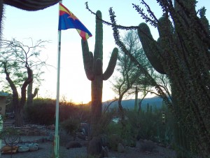
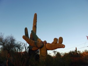
 We said goodbye to modern day Sodom and Gomorrah and hit the road heading south. Unlike most of our journey so far where deadlines are nonexistent, we are flying back to Alberta to spend X-mas with the Phillips Clan, so we have to be settled in Phoenix in time to catch a flight north. We’re staying with our friends who put us up (put up with us 😉 ) back in Kamloops. They have a place just north of Phoenix, and have once again said we are welcome. So we want to arrive in time to spend a few days with them, and perhaps to arrange some basic scooter maintenance in the big city.
 Heading south from Vegas we passed by Lake Mead and the Hoover Dam. Ann wanted to see the area, but we opted not to visit the actual dam b/c they wanted money. “To see a damn dam? No way!” says I. Poor Ann… But we did drive by the Lake, and got a good view of the reservoir. Two things jump out. Firstly is just the presence of a large body of water. We’re already used to desert conditions, so seeing any amount of water is odd. Seeing a massive lake in this landscape is actually a bit jarring. But it certainly saves this part of the region from suffering the same drought that is affecting the areas we’ve travelled through so far.
But the second thing that you notice is just how far down Lake Mead is from its high water mark. Apparently the Lake is now at a record low level. The average height is approximately 175 ft above where it currently sits. This is clearly visible even from our view on the highway. I’m not sure what this means for the future, but it can’t be good.
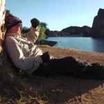
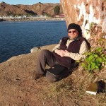
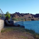
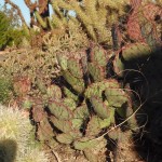 Our destination for this day was a national park campground further down the Colorado River system on Lake Mohave. This campground is nothing like I’m used to in the Boreal Forest. It is desert now, complete
 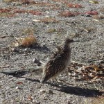 with large tumbleweeds (one that almost tumbled in front of me while driving!), lots of palm trees, sharp prickly things that grab and tear clothes and skin, and the oddest assortment of critters I’ve ever seen. This includes the real life roadrunner. And yes, we even heard coyotes in the area.
Like so much of our route, this campground is obviously insanely busy during the peak warmer months. Huge numbers of houseboats, fishing boats, and racey boats are all tied off to extensive docks. There is even 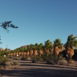 a dedicated boat launch driving lane that starts more than a km away from the water. It must be absolutely crazy during the on-season. Right now though everything is quiet and calm … all except the wind which was blowin’ a gale.
Despite the intense wind we decided to head into the nearby Bullhead City to pick up some additional provisions. The Colorado River marks the border between Arizona (where we are) from Nevada. Across from Bullhead is the sister city of Laughlin, but despite being separated by a small stretch of water, the two sides are worlds apart. 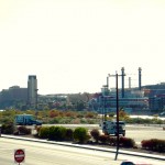 Bullhead is a pretty normal looking place with shops and motels and parks. It’s a small place, with no building over three of four stories. But right across the river are massive casino resorts, with some hotels towering 20 or more stories. It’s a jarring clash, and speaks to the wealth and seduction that is Nevada gambling.
We spent four nights at this campground. Days were cool and nights even cooler, but we managed to stay warm by bundling up in fleece and toques 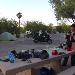 , and burrowing deep into down sleeping bags
 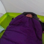 . We met some really interesting people here, including a couple from Ohio who had sold their house and were now living the good life, exploring the countryside, while living out of tent and CRV — yes, not an RV, but a car. Too cool! We also met a few motorcyclists, and a few other campers in the area. Everyone has a story to tell. It’s great.
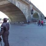 After four days we pulled up stakes and headed south again, this time stopping at a state park further down the Colorado River system. On the way there we passed by London Bridge — yes, THE London Bridge. Turns out some kooky rich dude decided to buy the bridge from London and bring it to Arizona, piece by piece. Why would anyone do this … that is a good question, but one never asked or answered despite the expansive tourist trap that has been built up around the reassembled bridge.
By mid afternoon we made it to just south of Parker Dam, to a nice little state park with campsites right next to the Colorado River. Looking at the topographical maps shows that this is the last area where the River is of significant width. 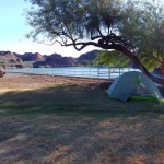 Below this it becomes much smaller, and is increasingly diverted off into a series of canals and irrigation channels. The mighty Colorado is no more.
Camping right next to the water was pretty enticing after our previous site in the desert. It also came with a handy 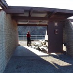 cabana which was great for food storage, as well as getting out of the cool wind that was blowing down the valley. Funny thing happened overnight though. We had just crawled into the sleeping bags and were reading when I heard water splattering. “It’s raining!” says I. How can this be?!? We haven’t seen rain since leaving the coast. Turned out we had pitched our tent in the midst of some underground water sprinklers. The tent got a good cleaning that night.
The next day was to be the final push to Phoenix and to Cheryl and Pat’s place just north of the city. Here we enter the Sonora Desert; the land of mighty Saguaro Cactus.
