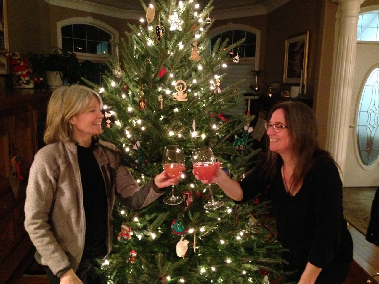
 We arrived safe and sound back to our desert friends in Black Canyon City. Cheryl & Pat have been incredibly kind to us, playing host three times now. It sure has been a joy
  spending all this time with them … OK, mostly it was for Harper (their cute little dog) 😉
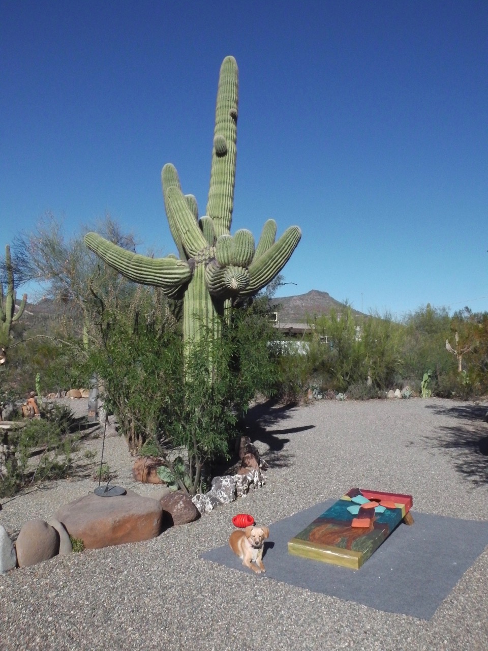
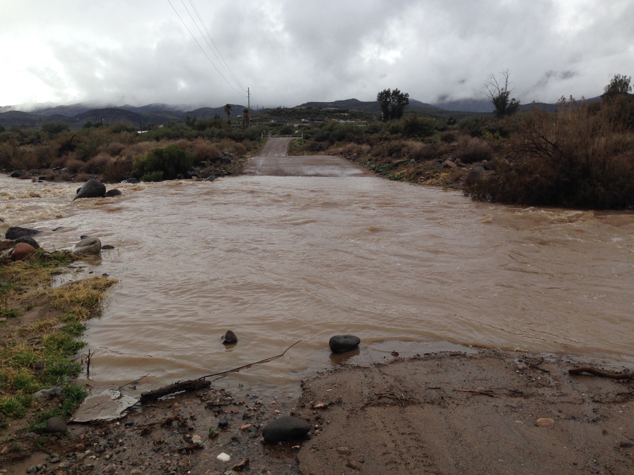
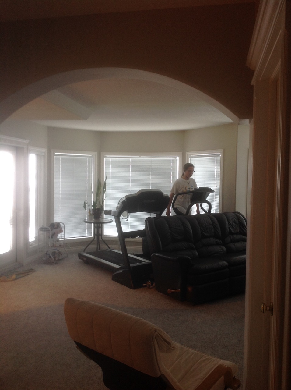
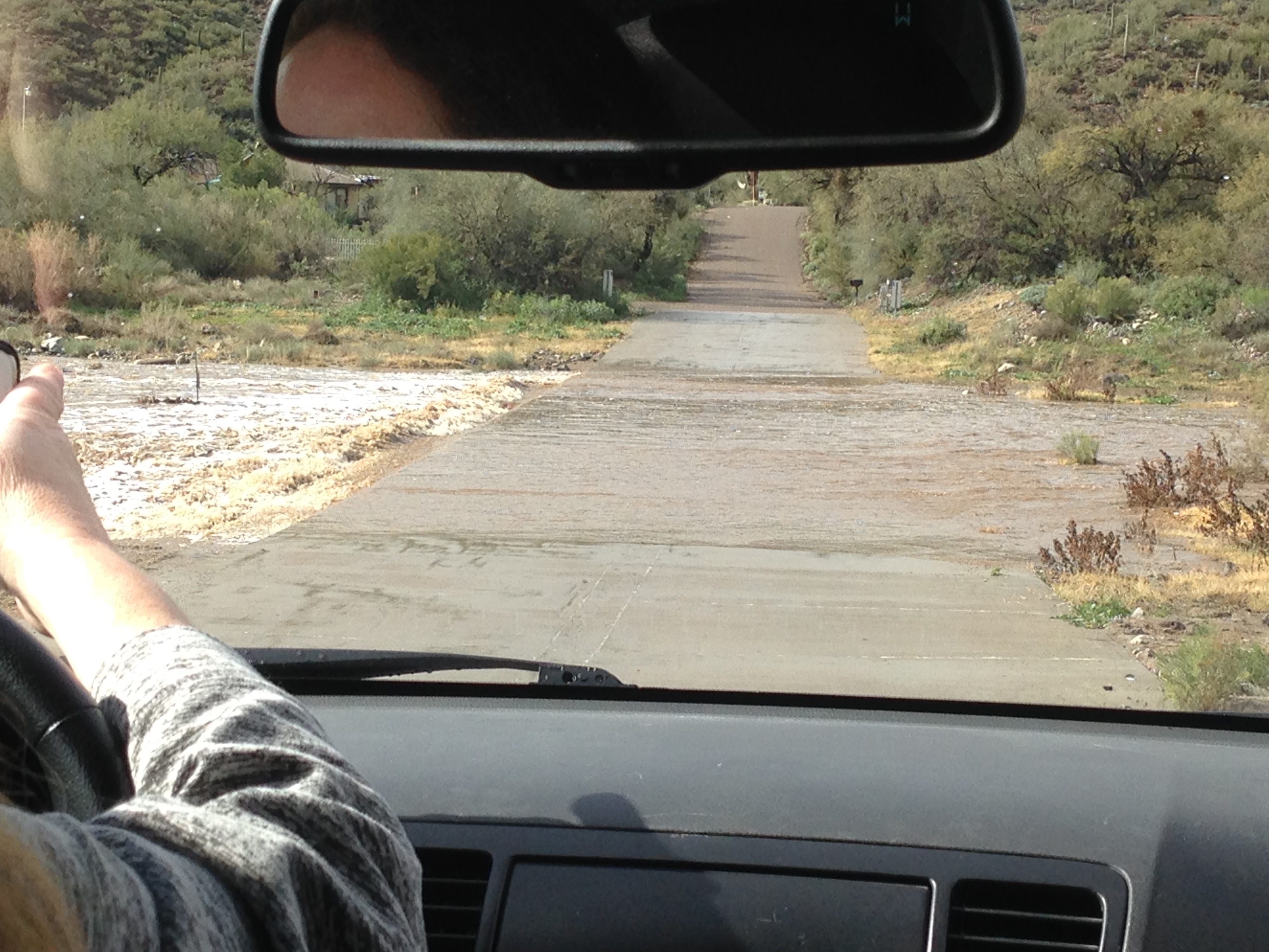
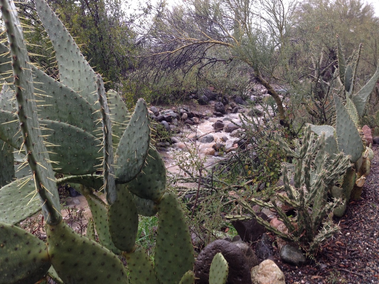
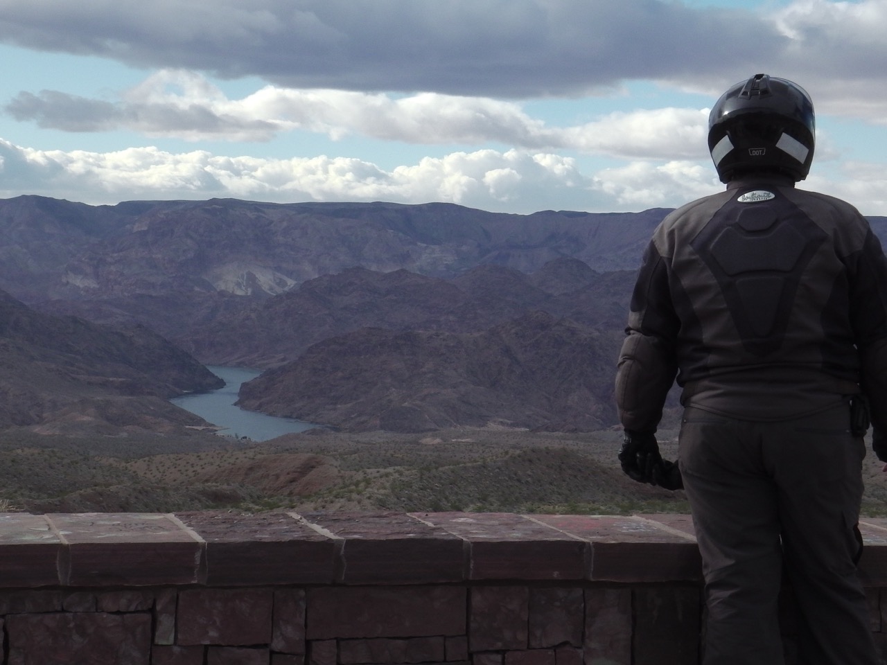
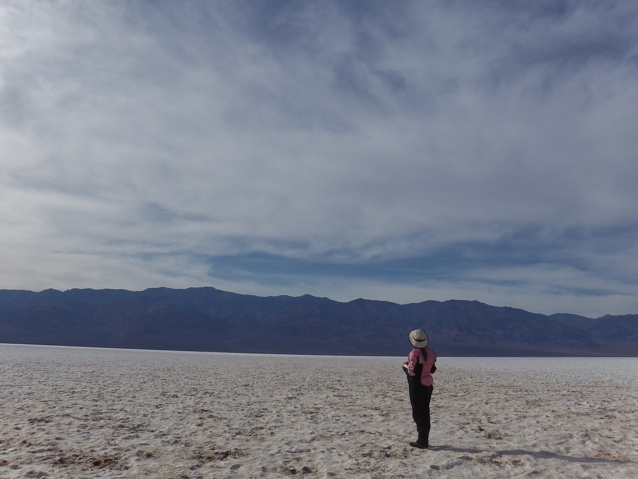
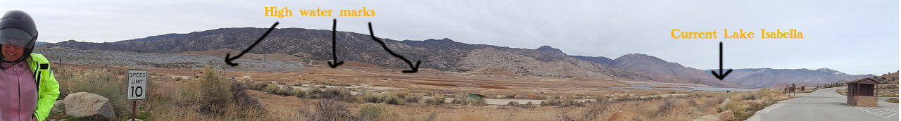
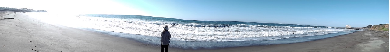
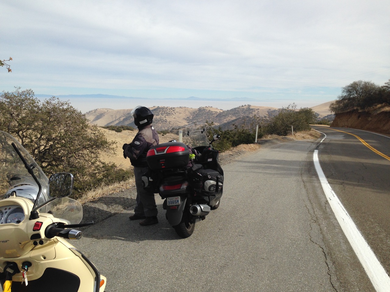
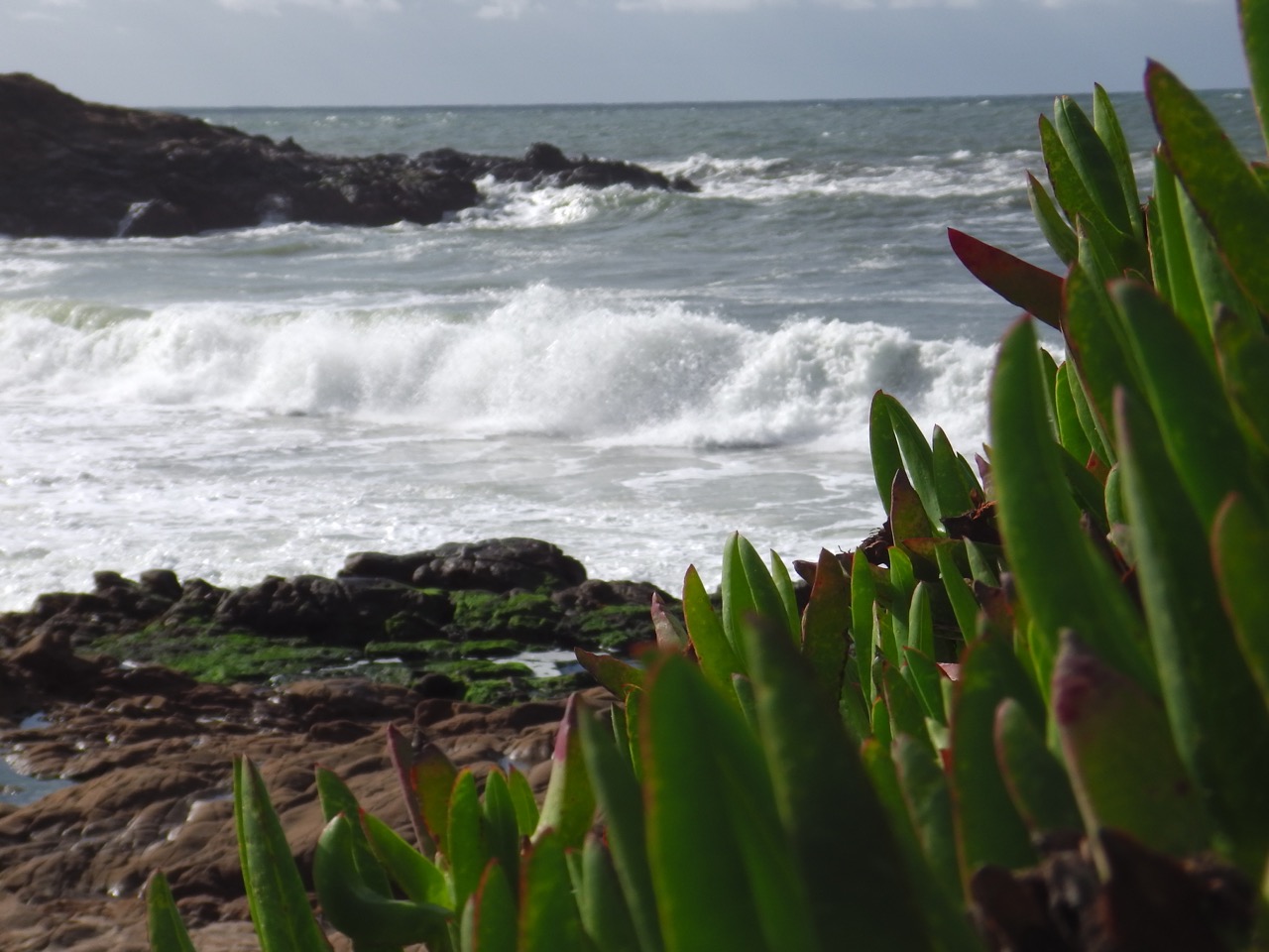
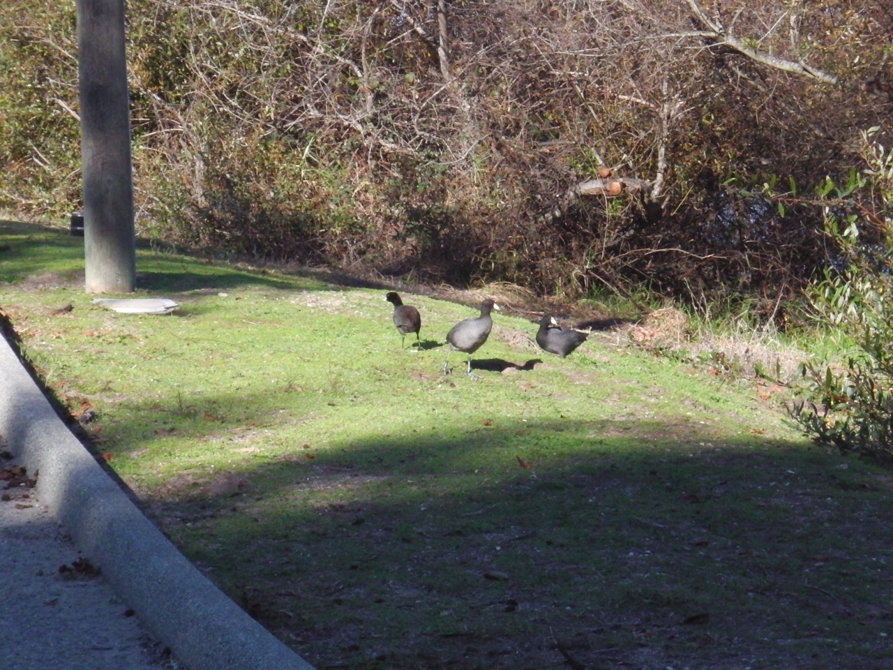
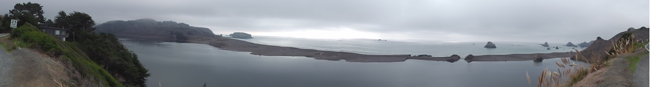
Our days at BCC, deep in the heart of the dry Sonoran Desert, were anything but dry. Just like our luck with the Canadian dollar (which continues its lemming dance off the cliff), our luck with weather has been equally dismal. Our whole journey has been colder and wetter than seasonal norms, so it’s no surprise the Sonoran was getting some pretty hard rains during our visit. Washes were actually washing, roads were closed, and we were house-bound for days.
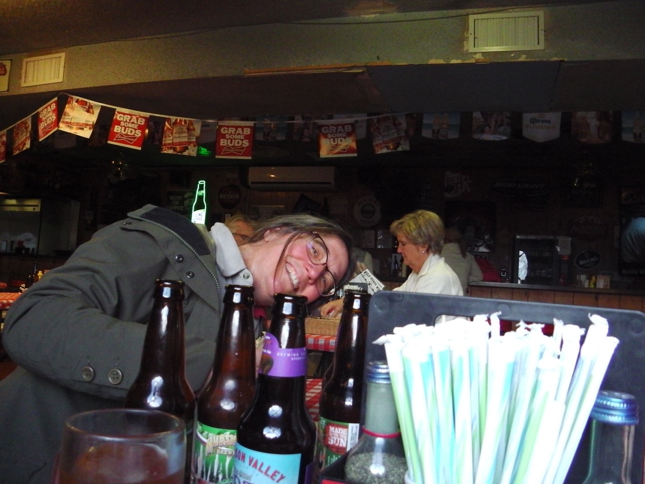
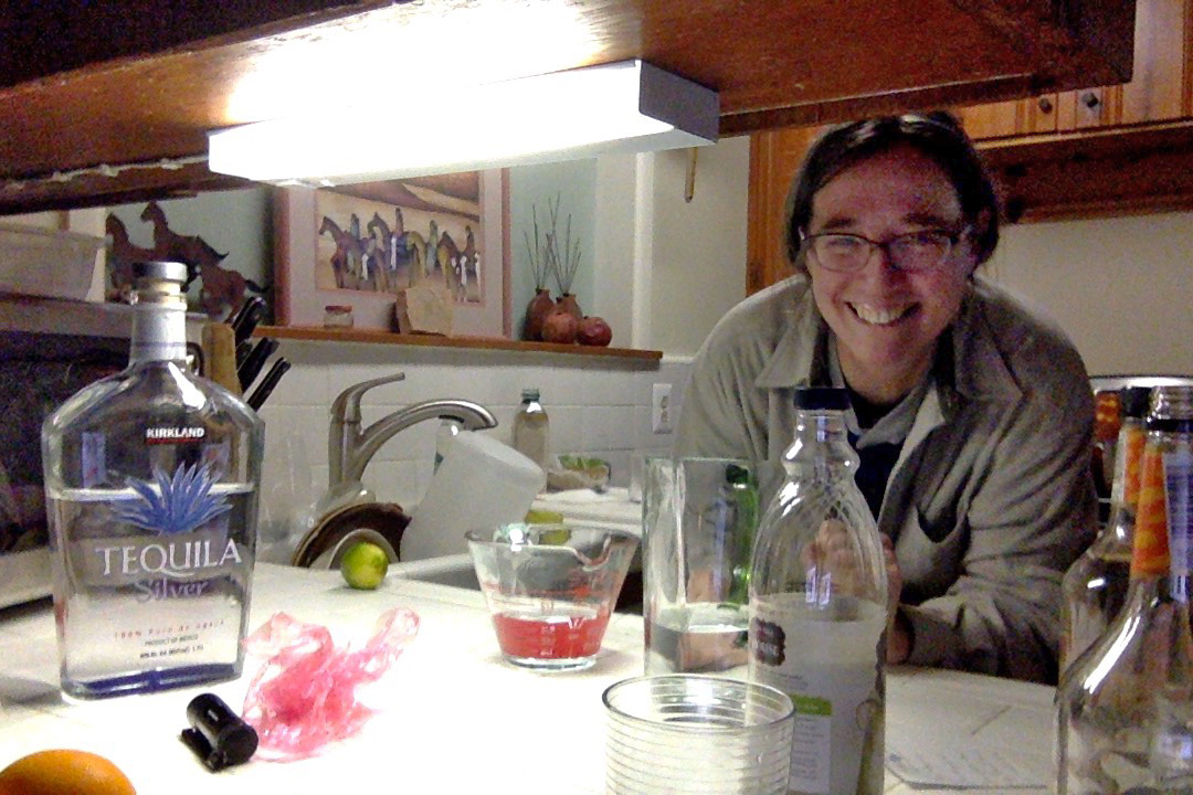
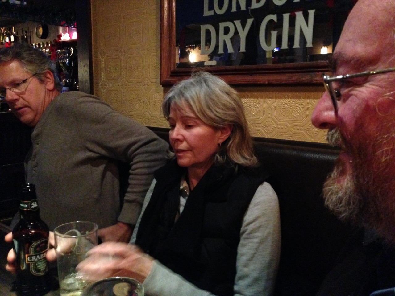
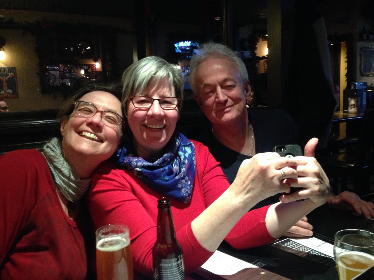
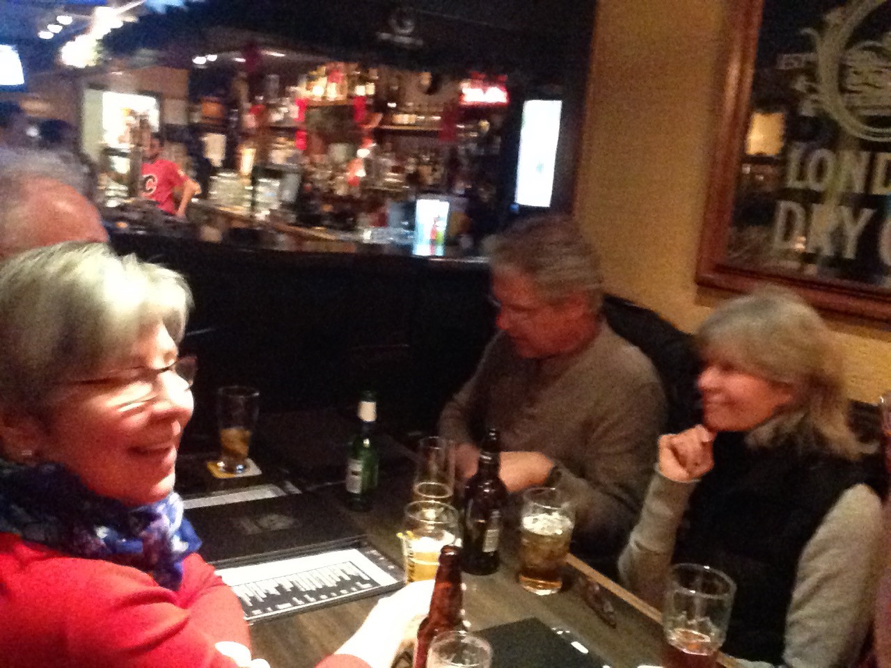
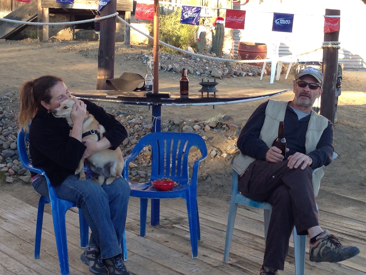
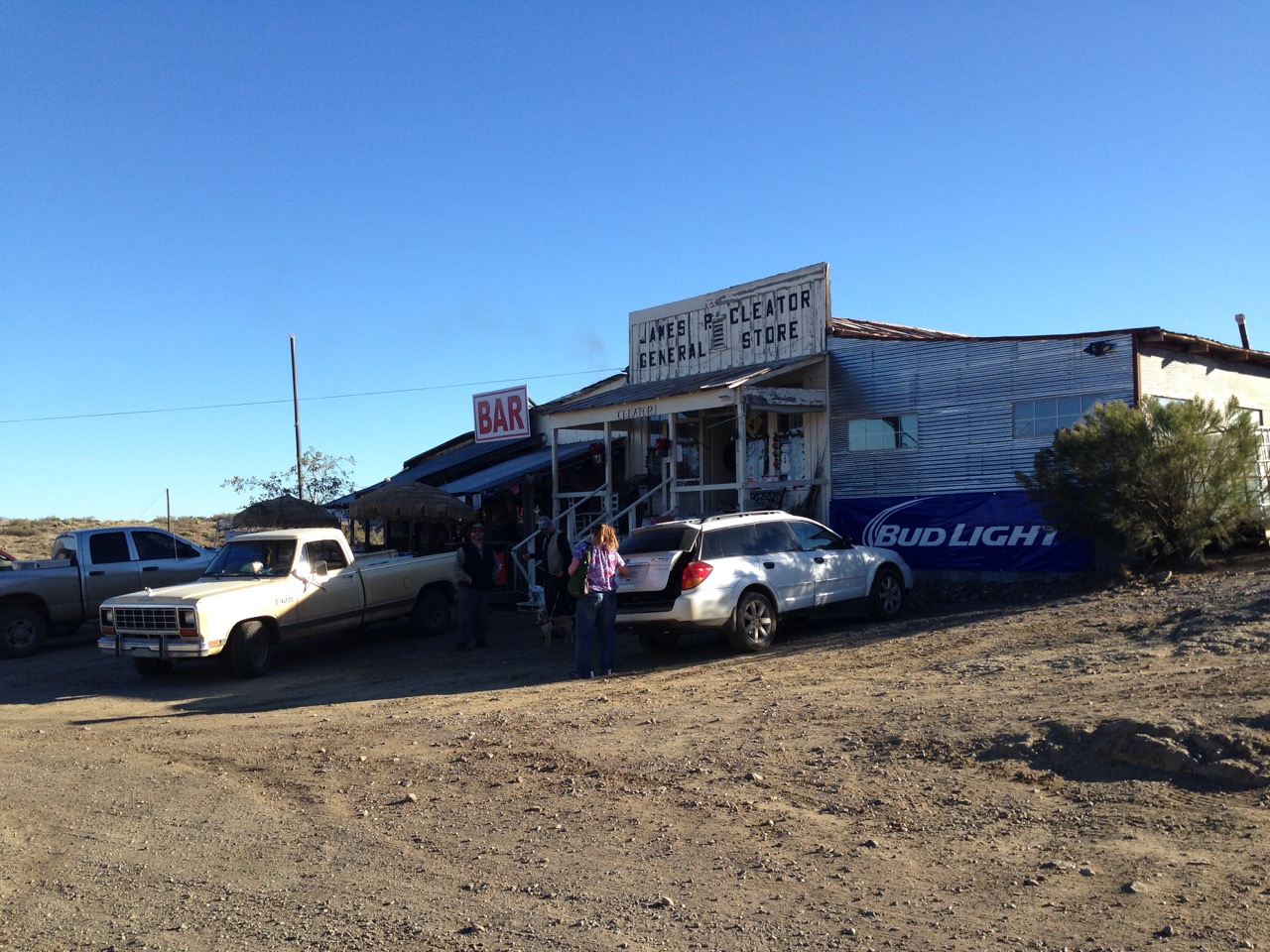
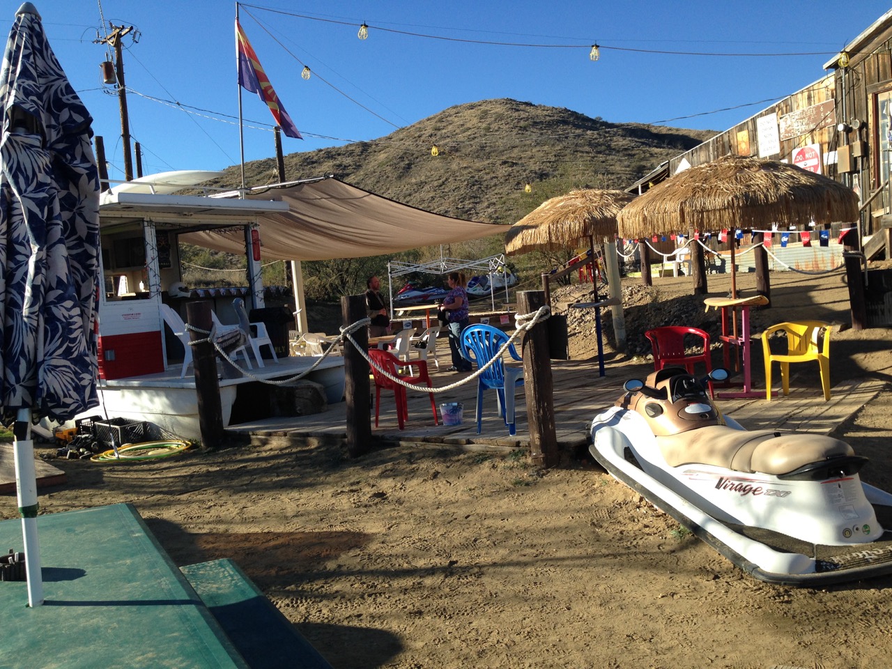
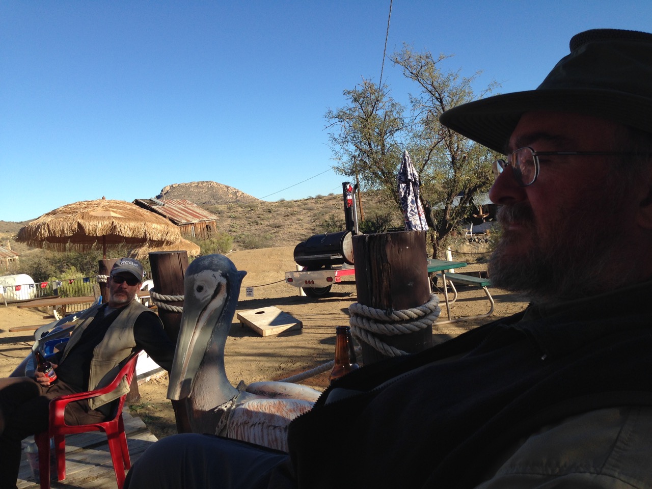
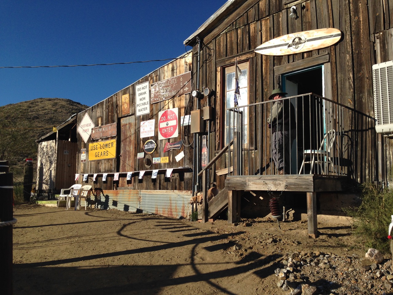
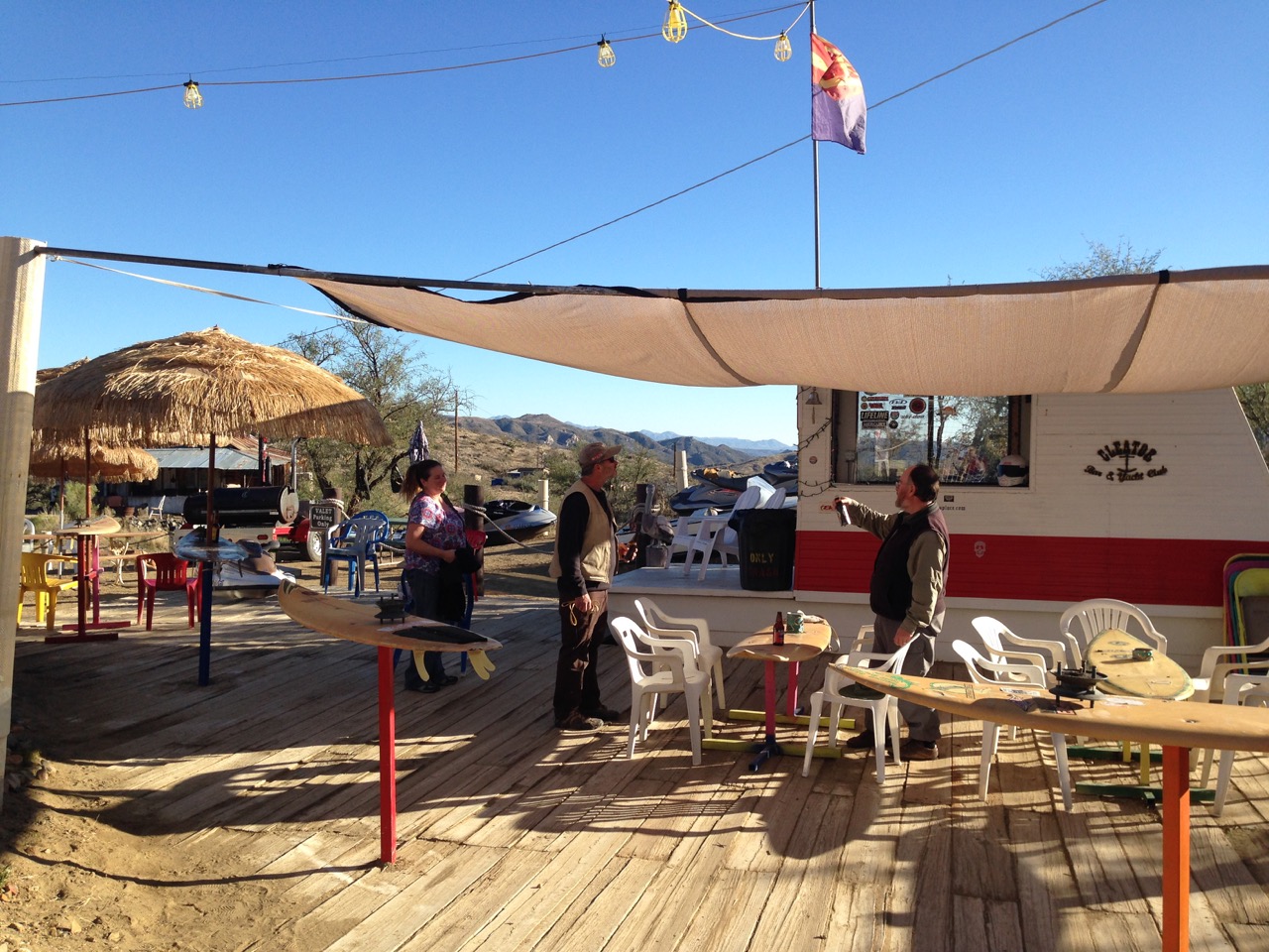
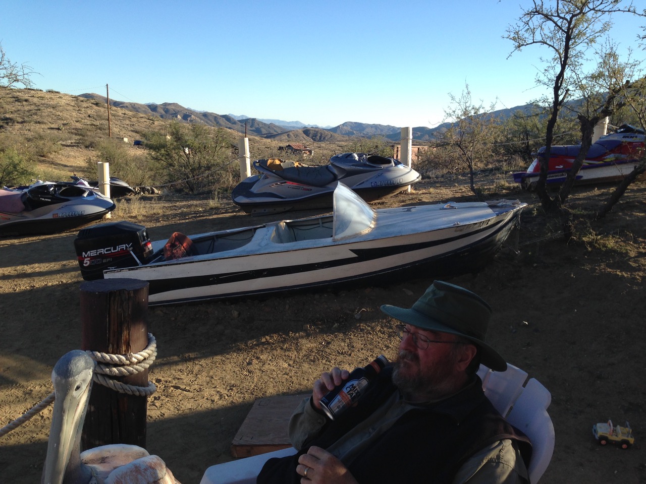
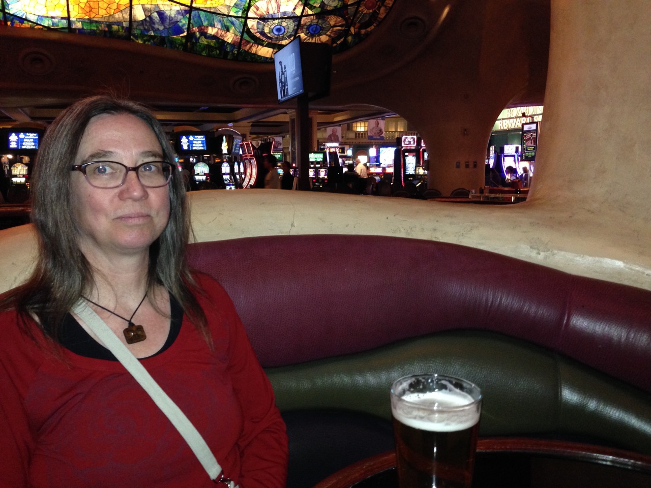
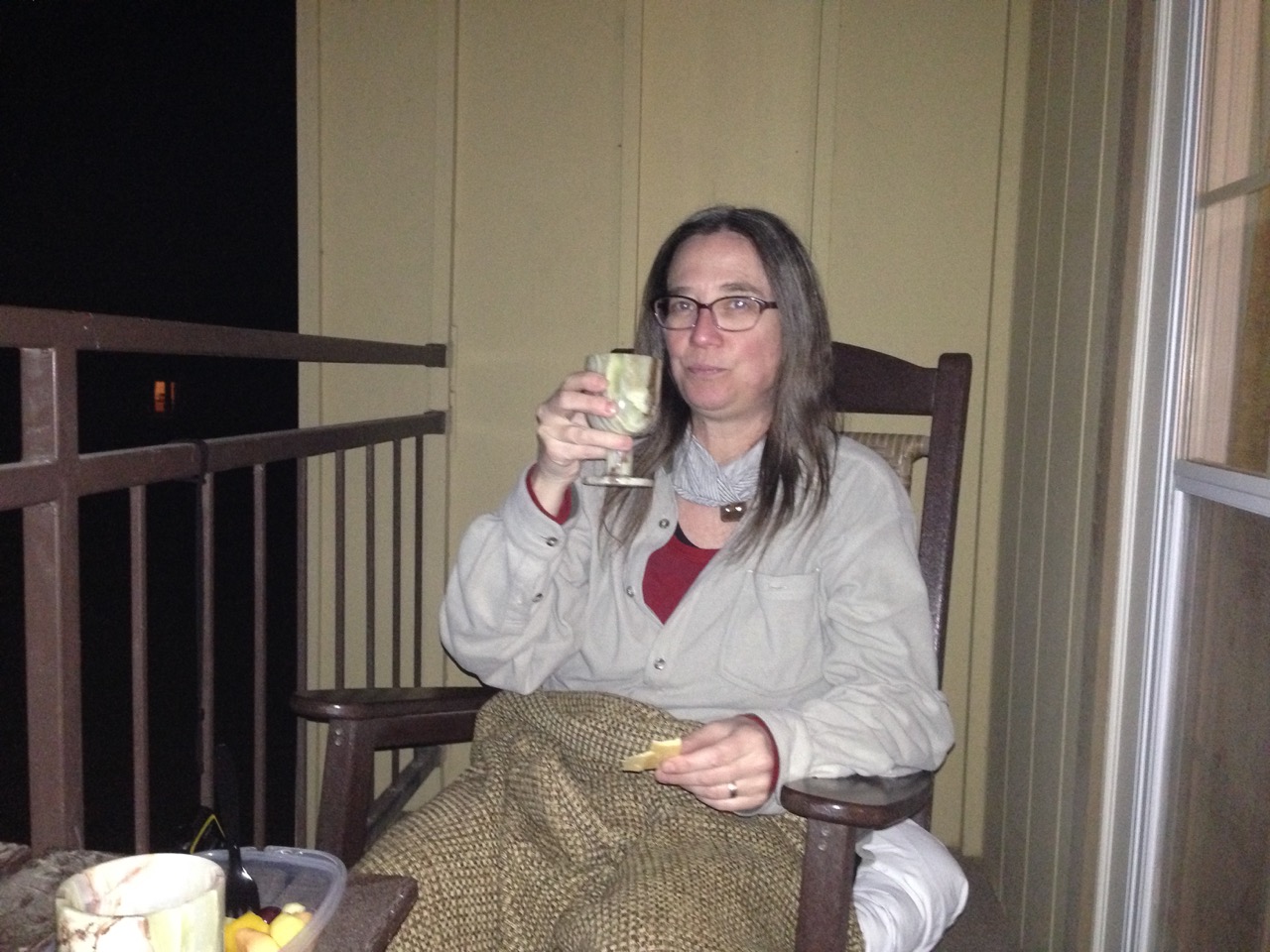
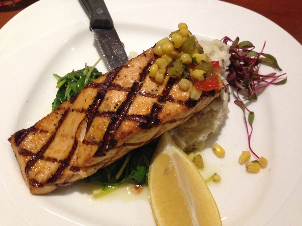
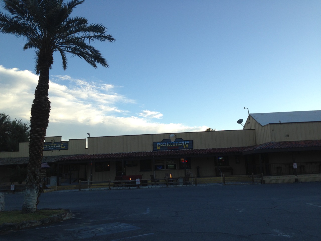
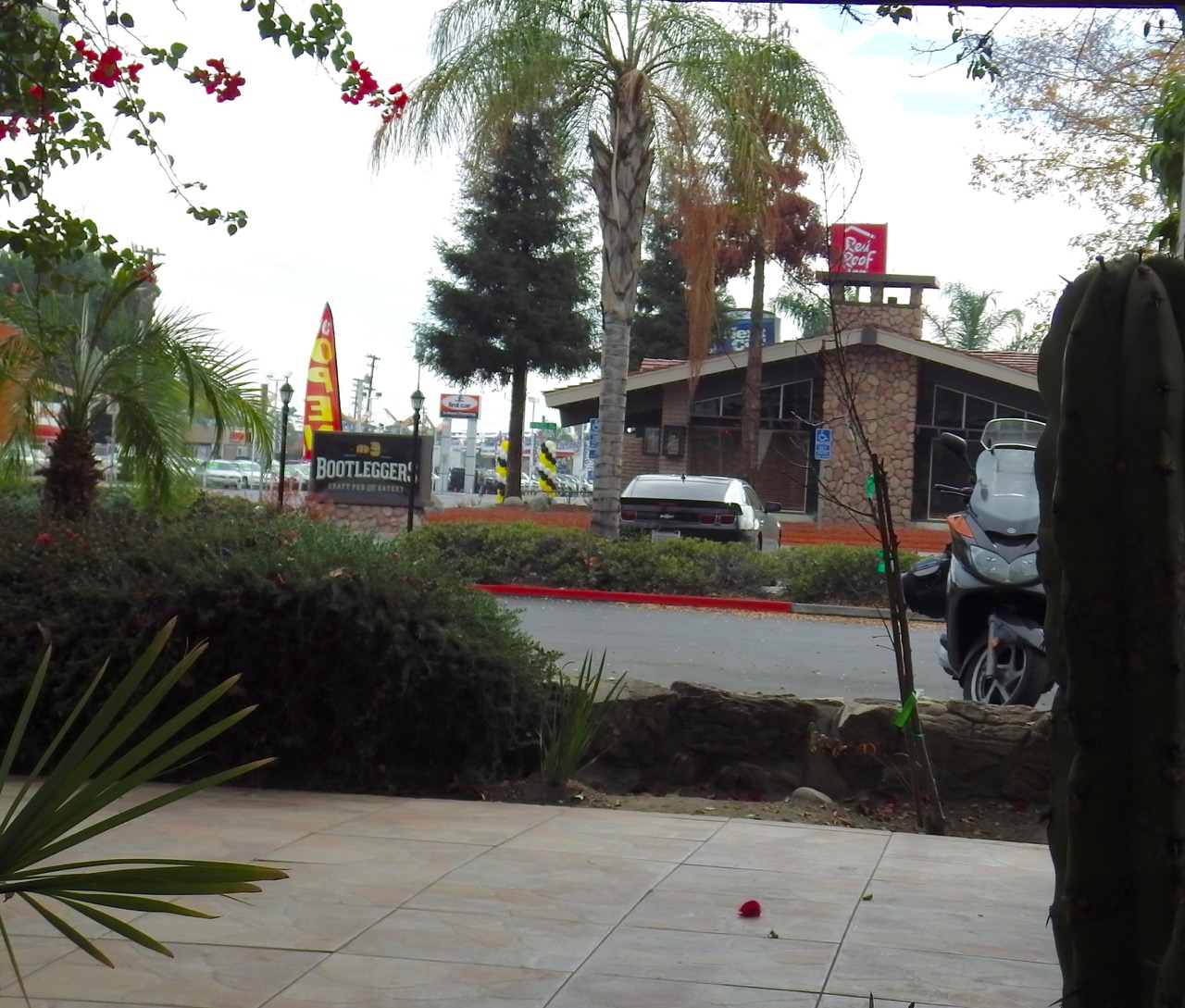
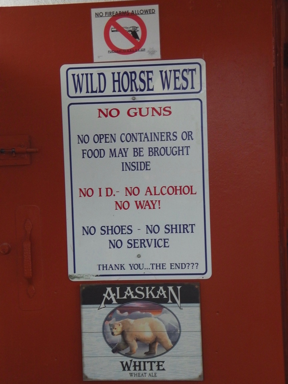 Luckily out hosts had the cure for what ailed us: beer … a solution Ann took to heart when we visited a local tavern. The place had great food, even better beer. As is common for many businesses around here, they are civilized enough to ask that you leave your guns at the door. For some reason they think copious amounts of booze and firearms aren’t a good idea?!?
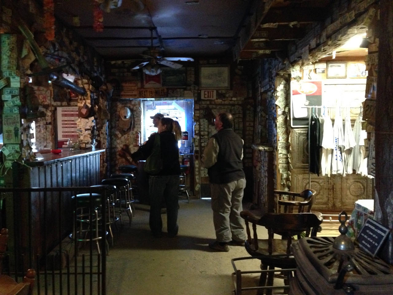
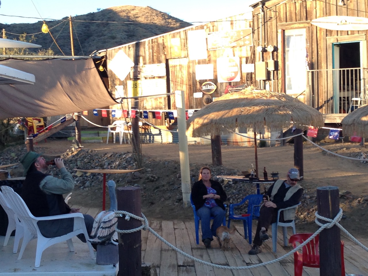
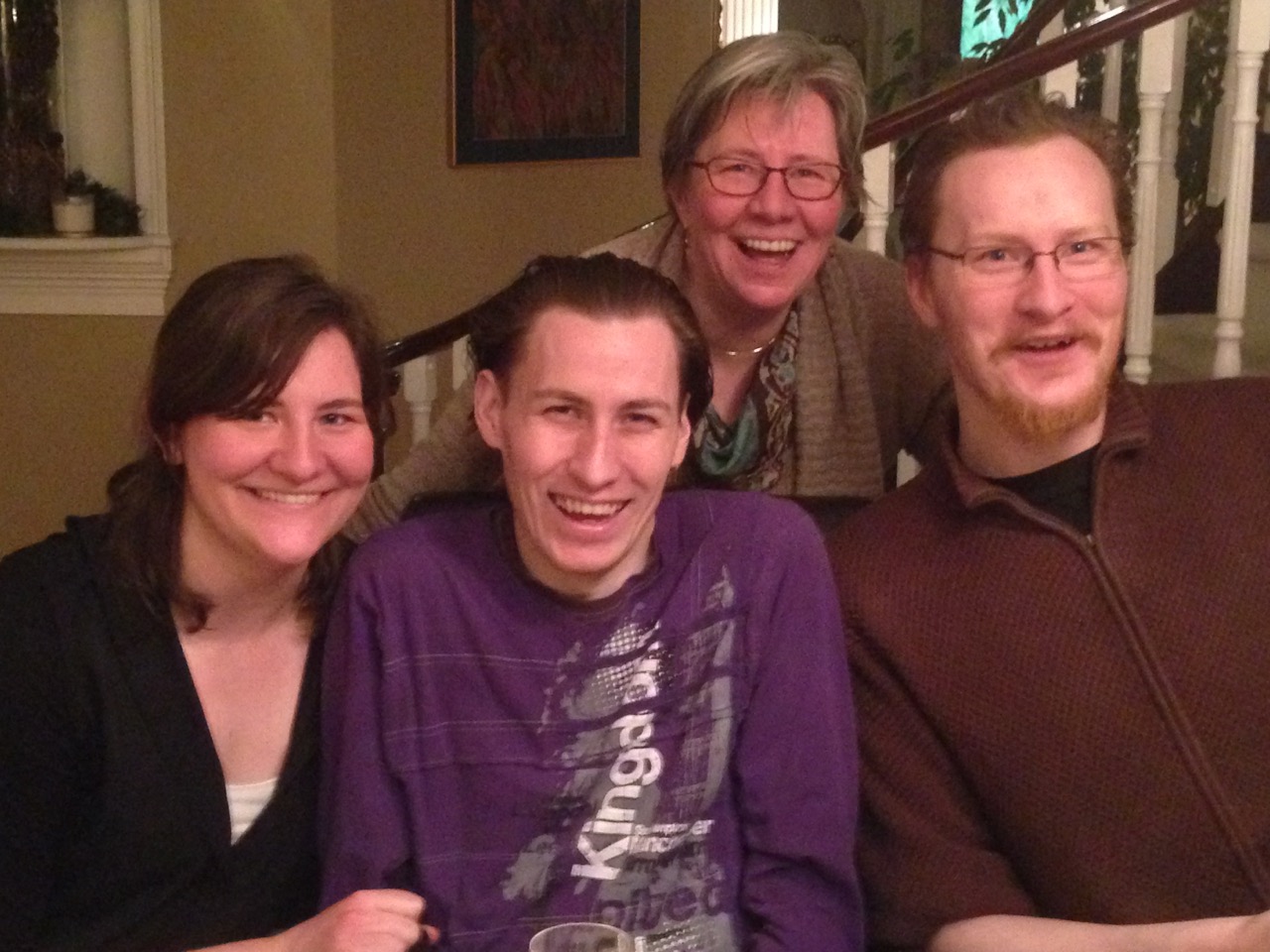
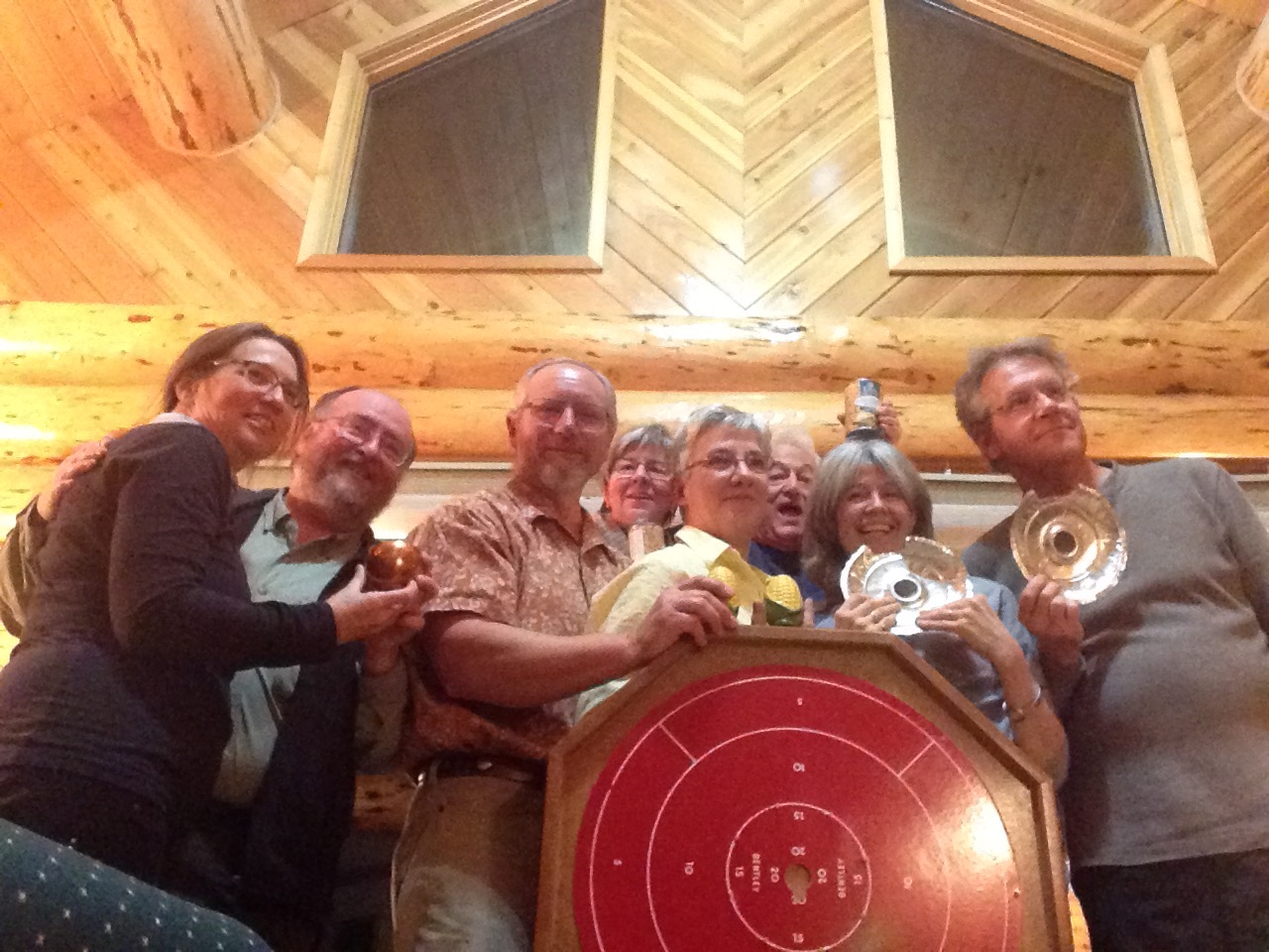
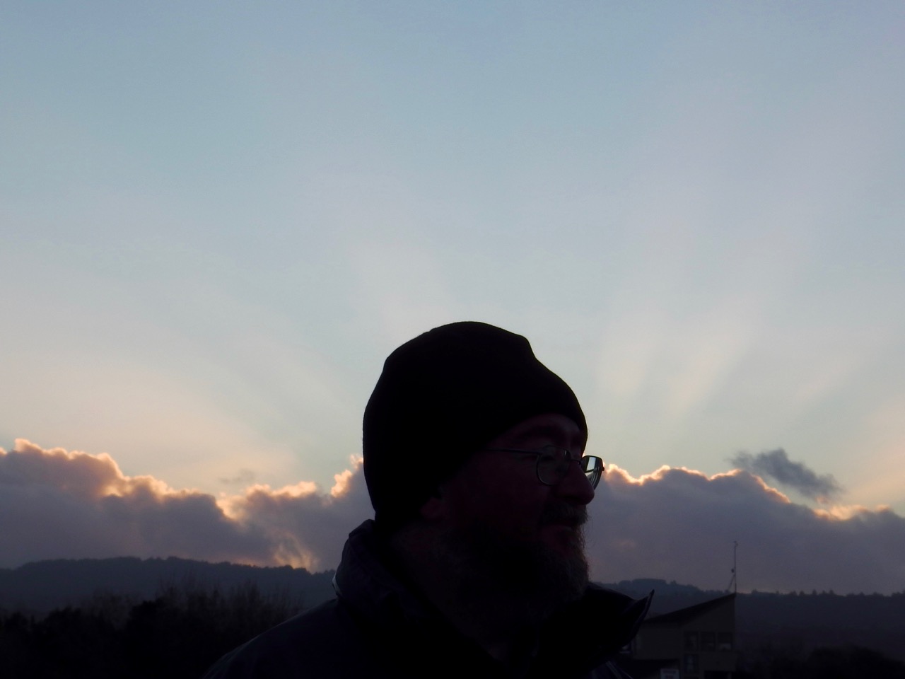
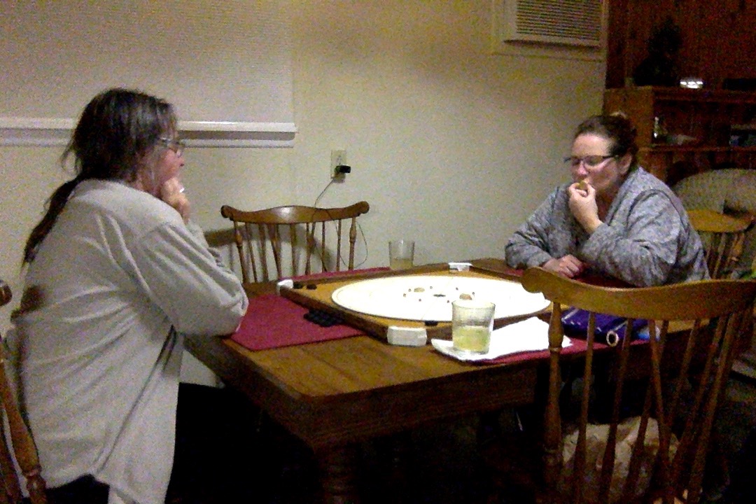 After one more night at BCC, that included a killer game of crokinole (Ann and Cheryl lost, and I pretty much just watched as my partner Pat won the game for us), we packed up and said goodbye.
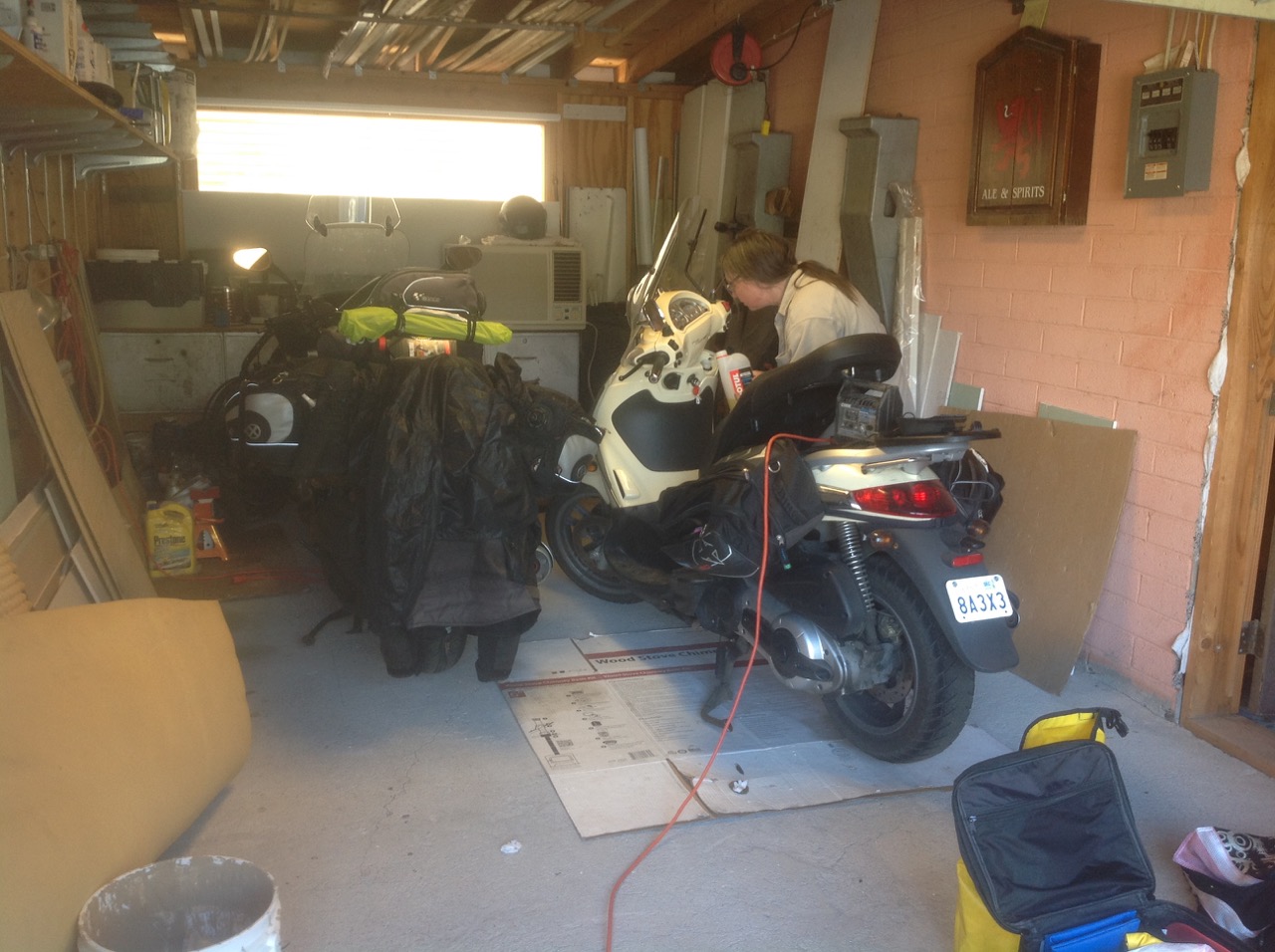 Actually, we almost didn’t get out of there b/c Ann discovered her bike battery had been drained over the two-weeks+ that we’d been in Alberta. Turns out an LED does use power. Pat came to our rescue by tracking down a charger, and luckily the battery came back to life after a few hours.
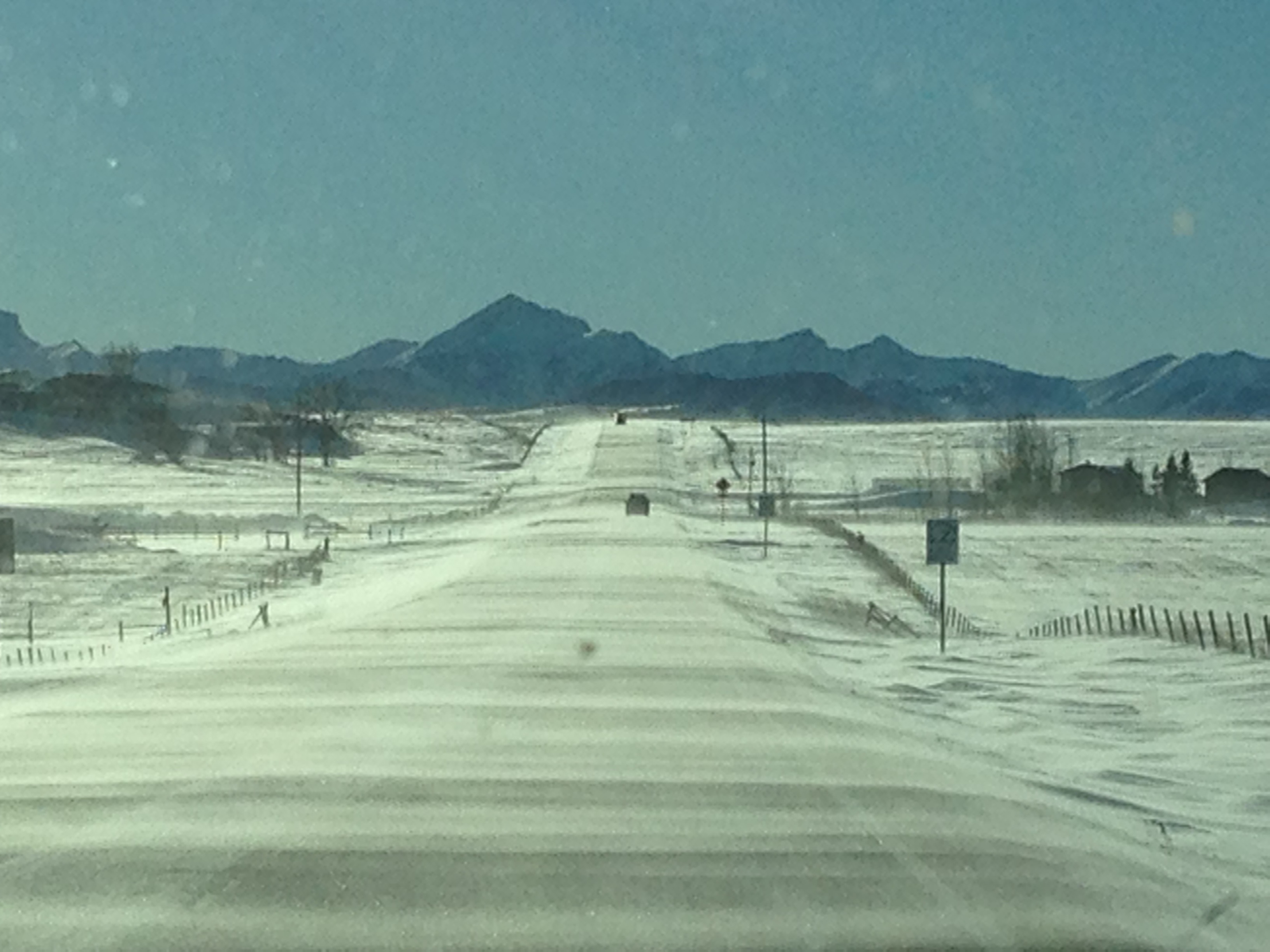
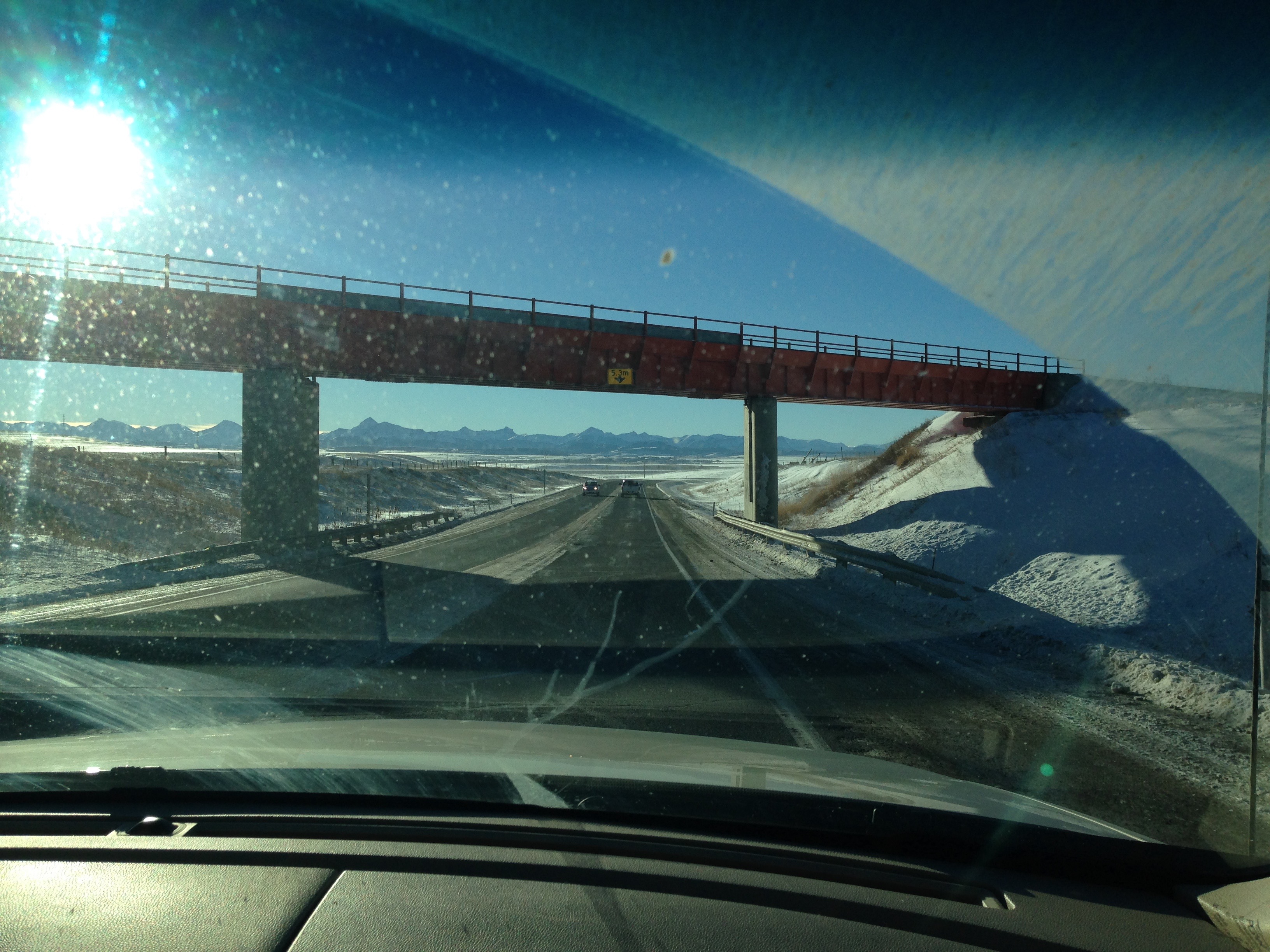
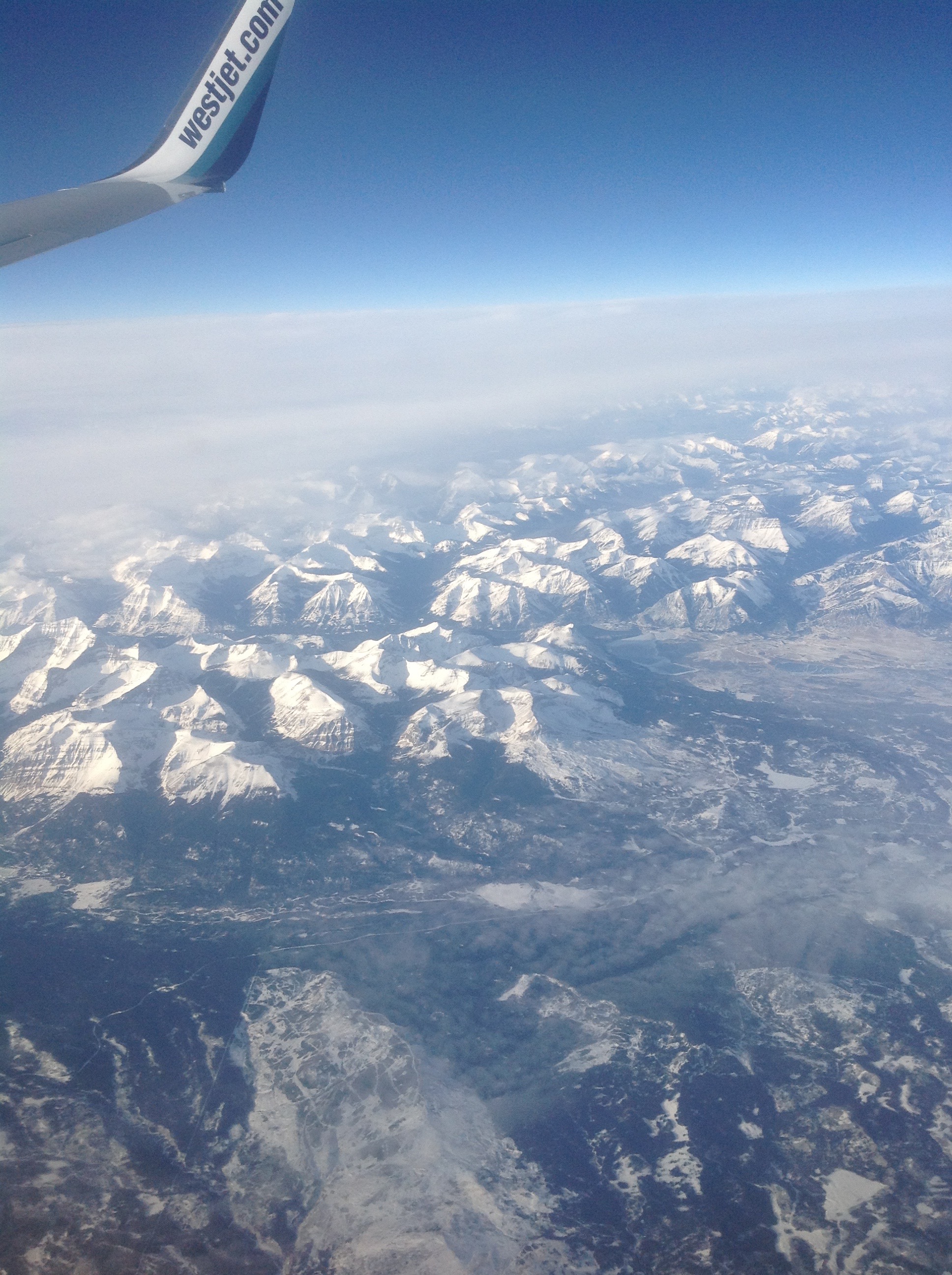
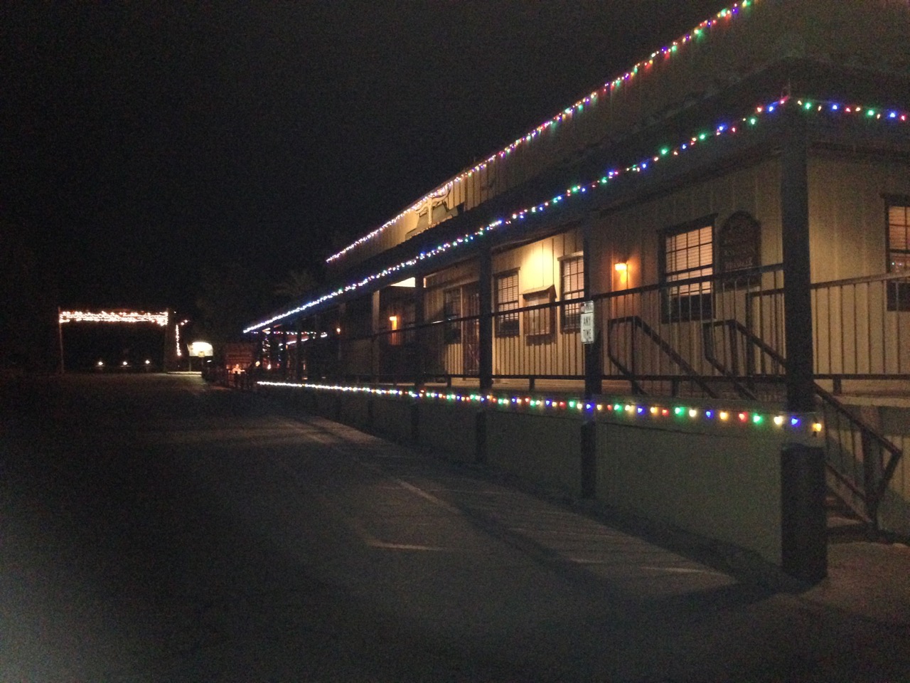
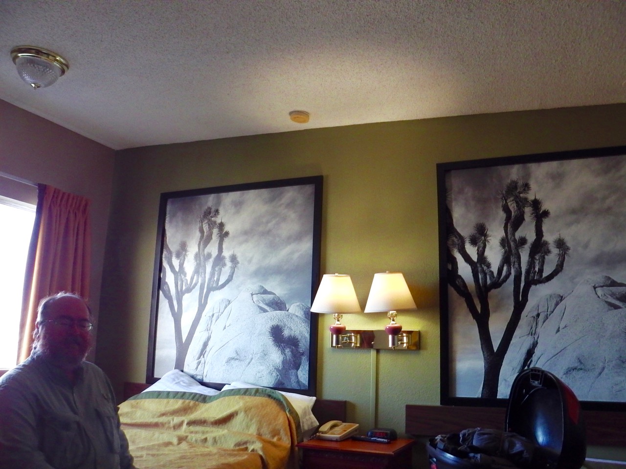
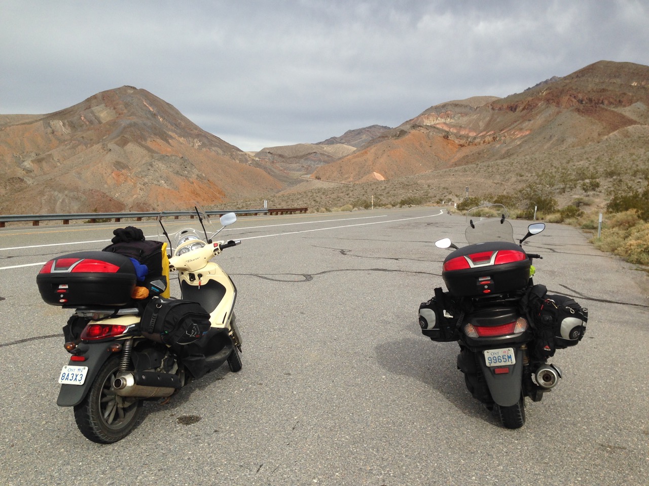
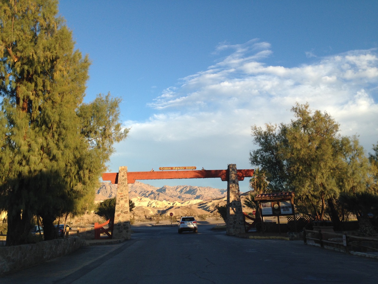
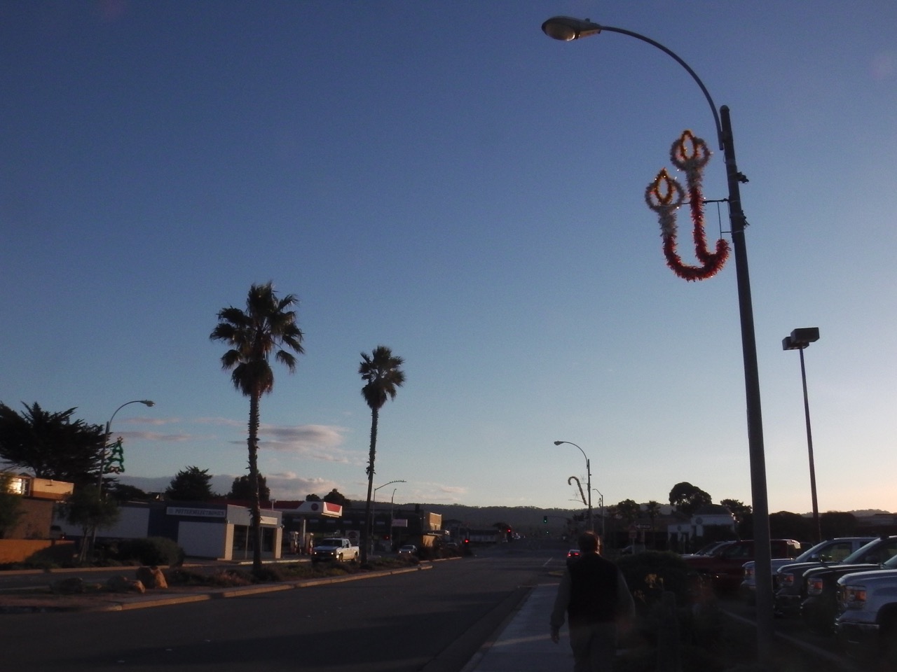
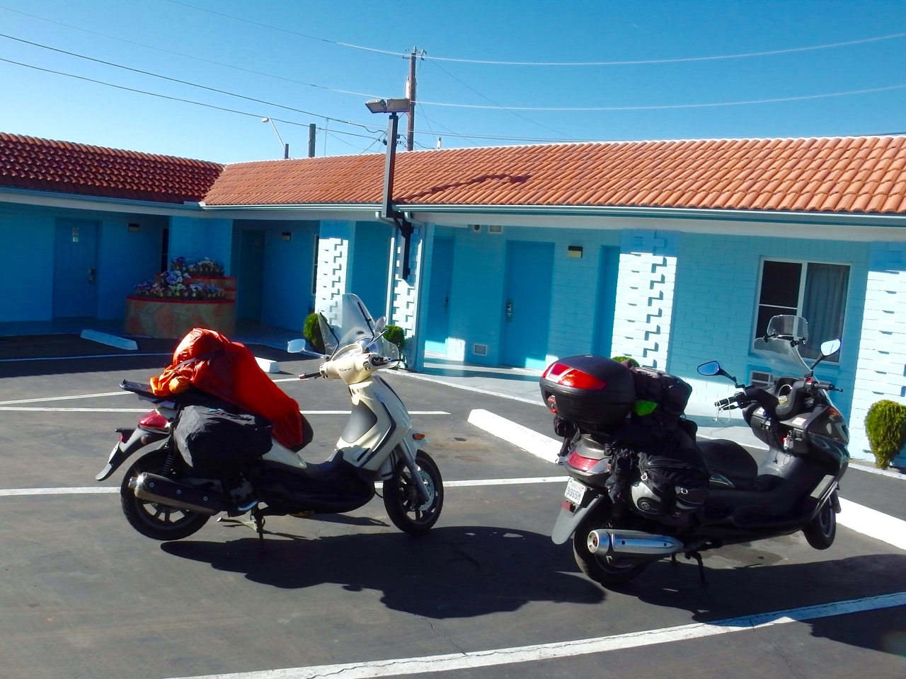 We packed up and headed on our way south, aiming for Tucson. B/C of the late start we only made it 1/2 way, stopping in a small town and yet another cheap motel.
Our plans are to stay in Tucson through the rest of the week so we can get our bikes serviced, and then visit with my oldest friend Laird. The servicing went great. Scoot Over is a shop that specializes in all things scooter. They knew both our bikes intimately, and were duly impressed with our journey so far. Unfortunately we both needed new rear tires (my second one of this journey), but other than that the bikes appear to be in good shape.
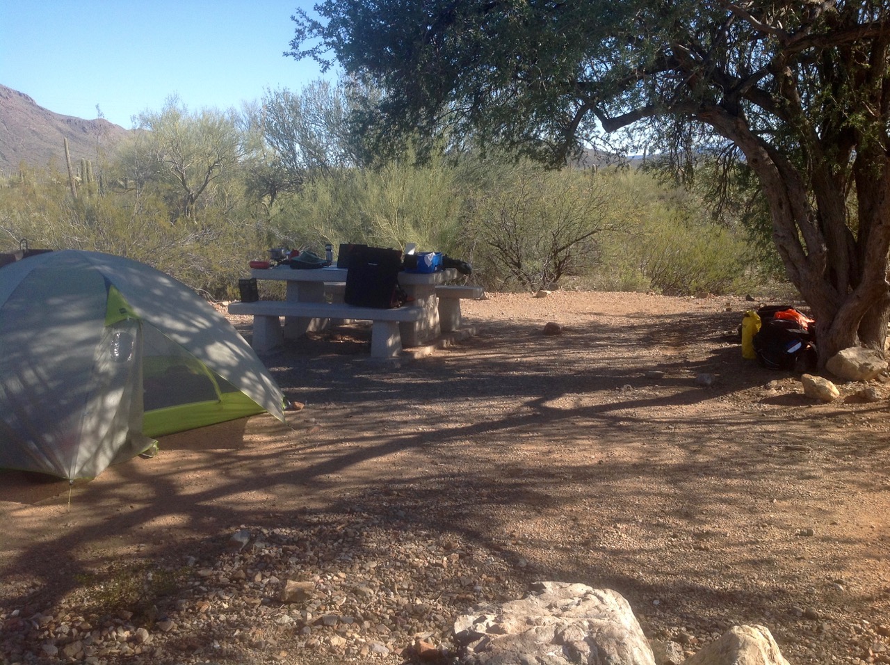
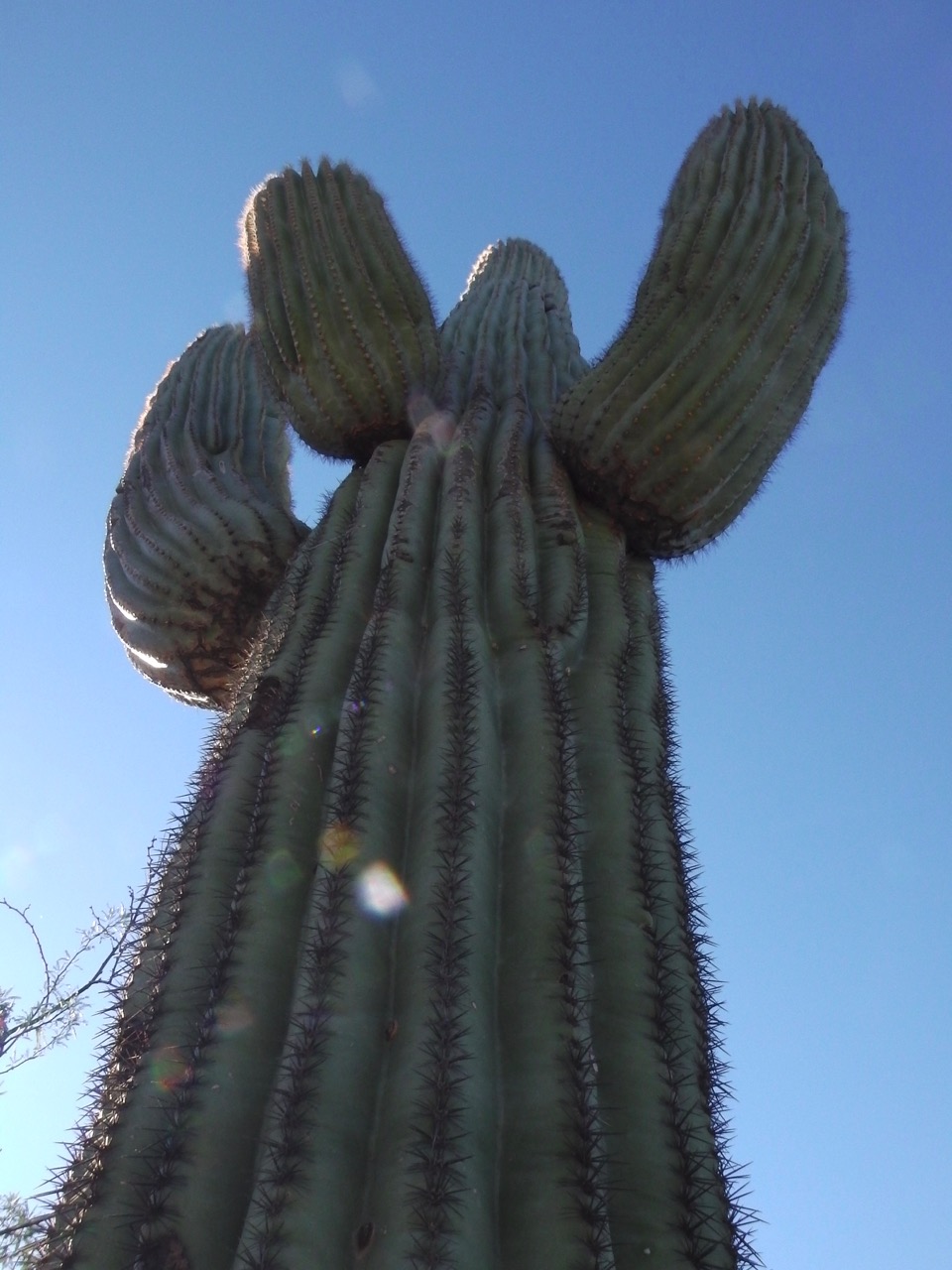
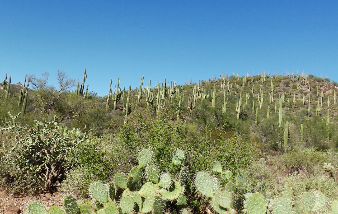
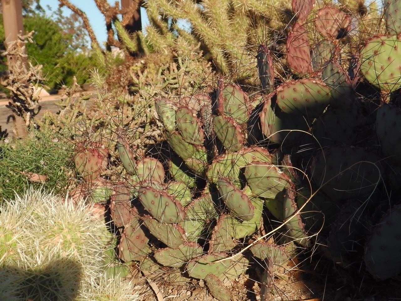
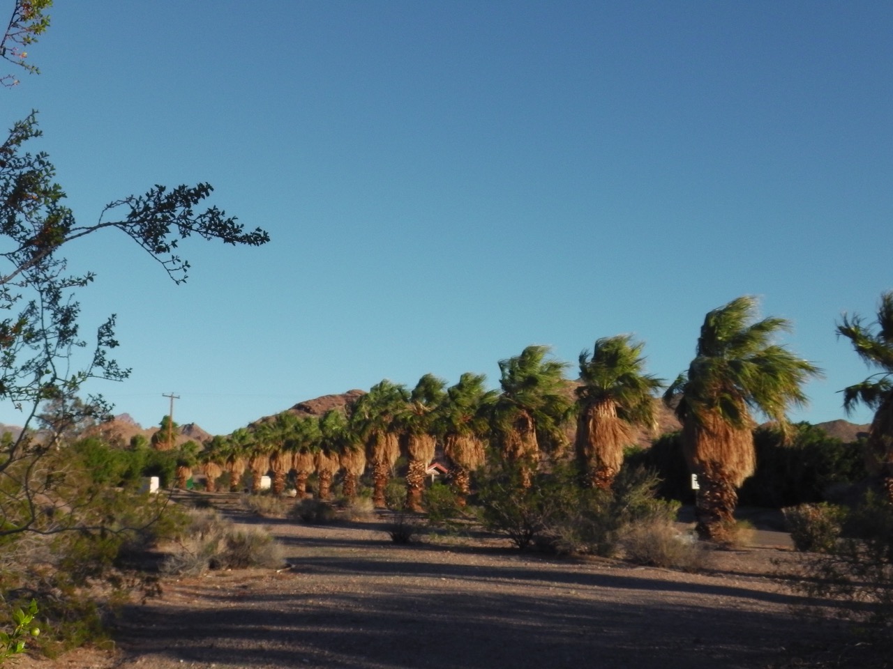
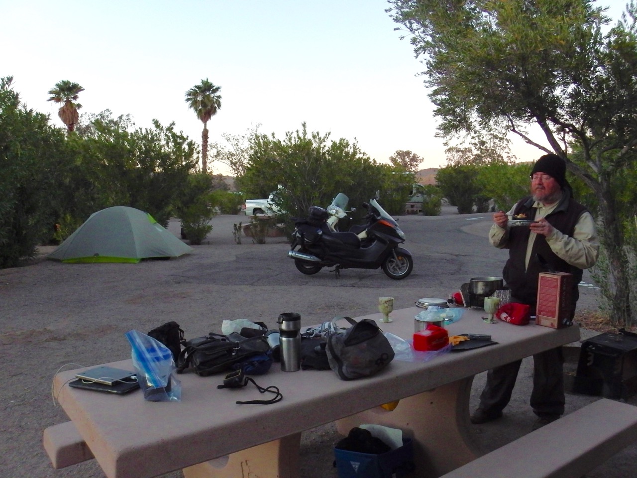
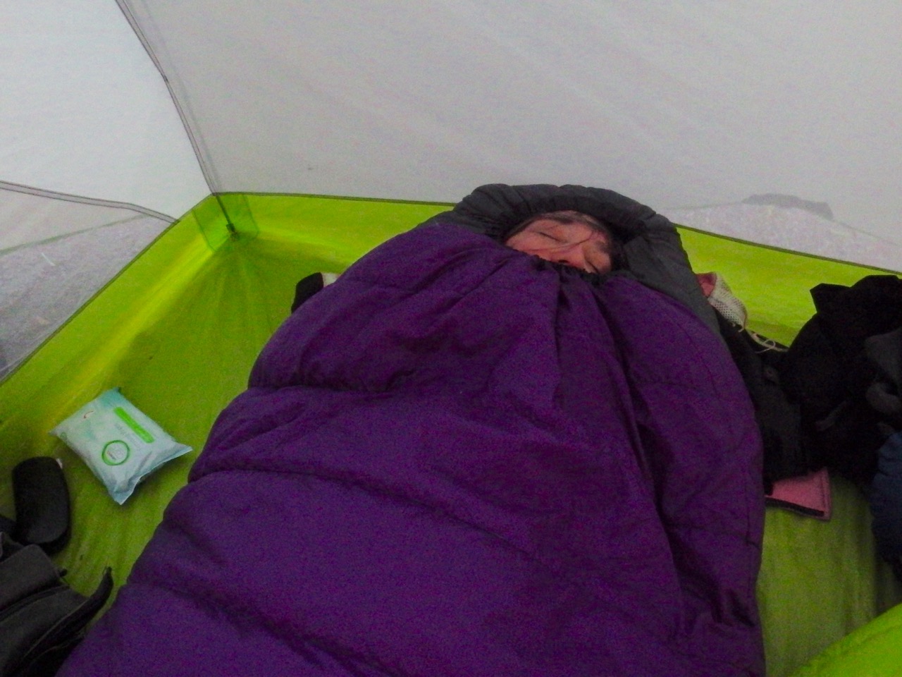
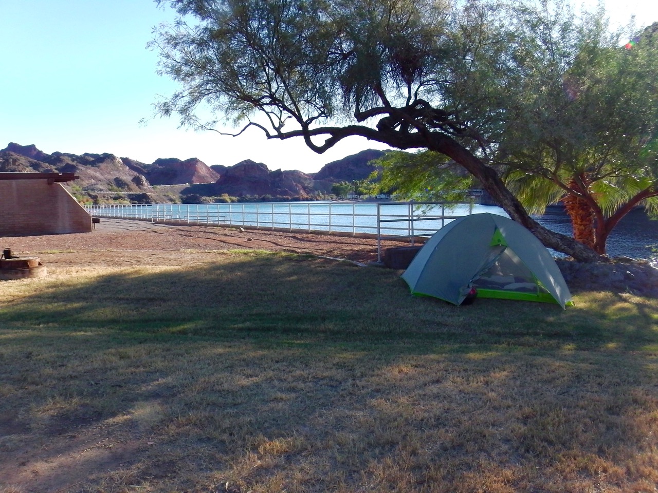
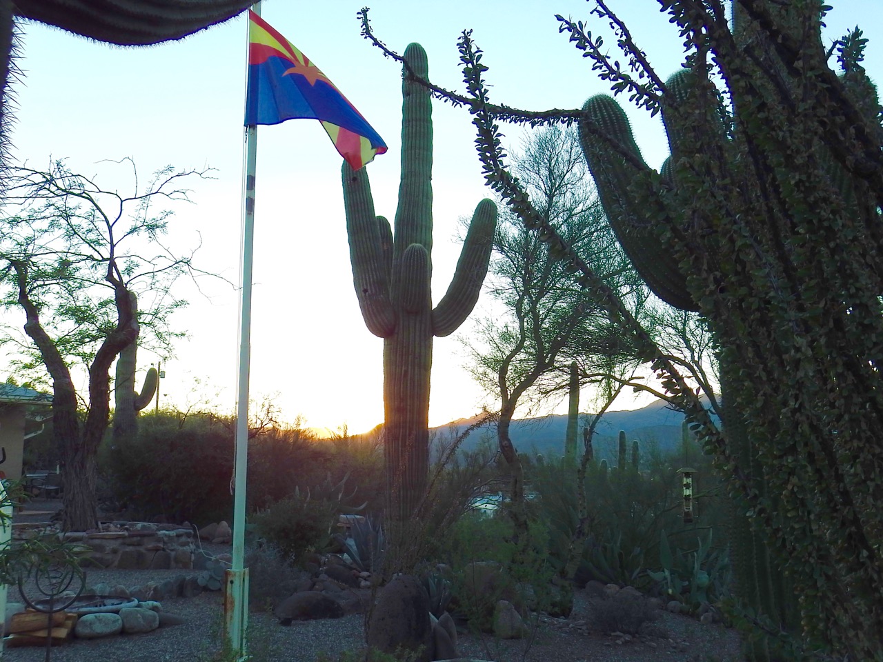
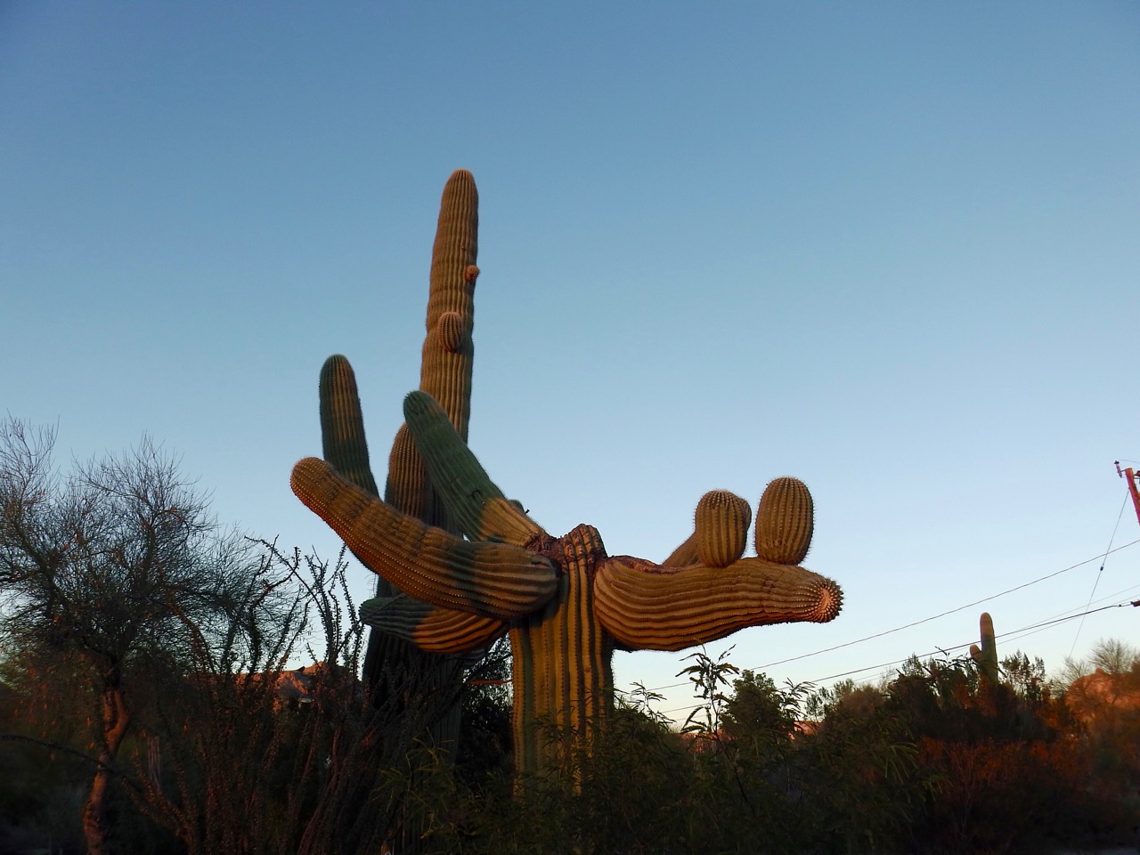
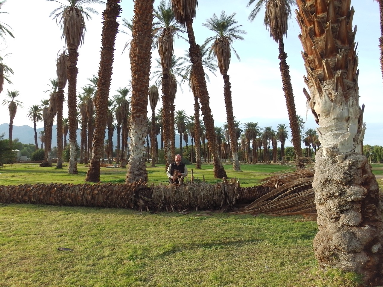
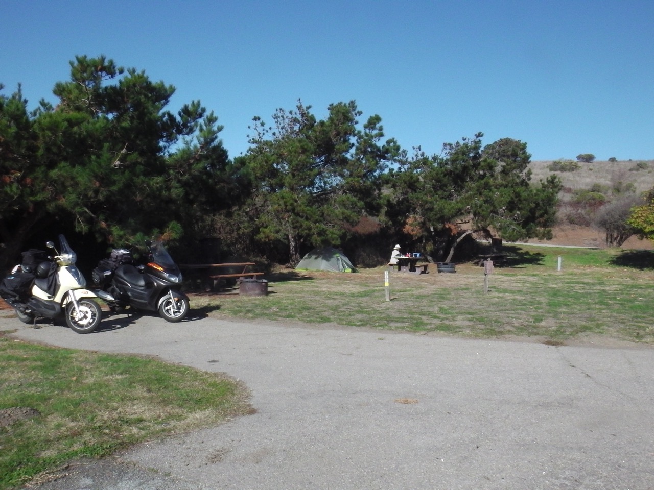
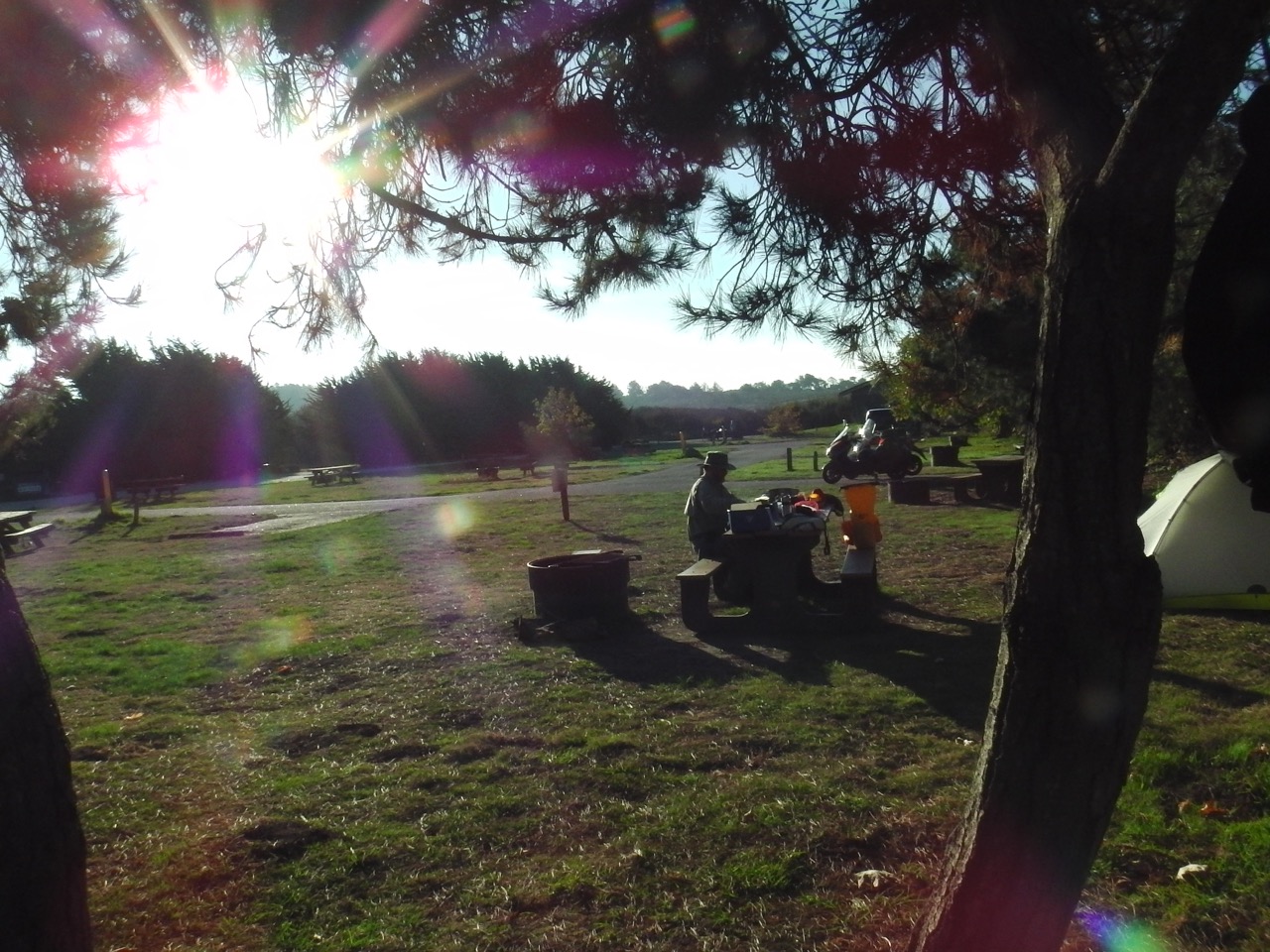
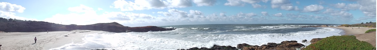
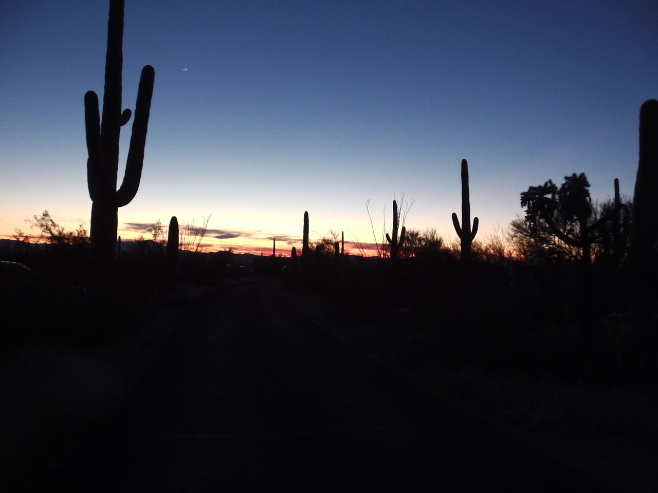 Our campground is a 1/2 hour out of Tucson, on the other side of the smallish Tucson Mountain range. The drive over was a bit reminiscent of some of the gnarly roads of California, so lots of fun. The campground we’re in has five dedicated tent sites (and probably 100+ RV spots). Our home for the five days was on the edge of a wash (very dry now), overlooking a cacti forest of saguaro and numerous other prickly plants.
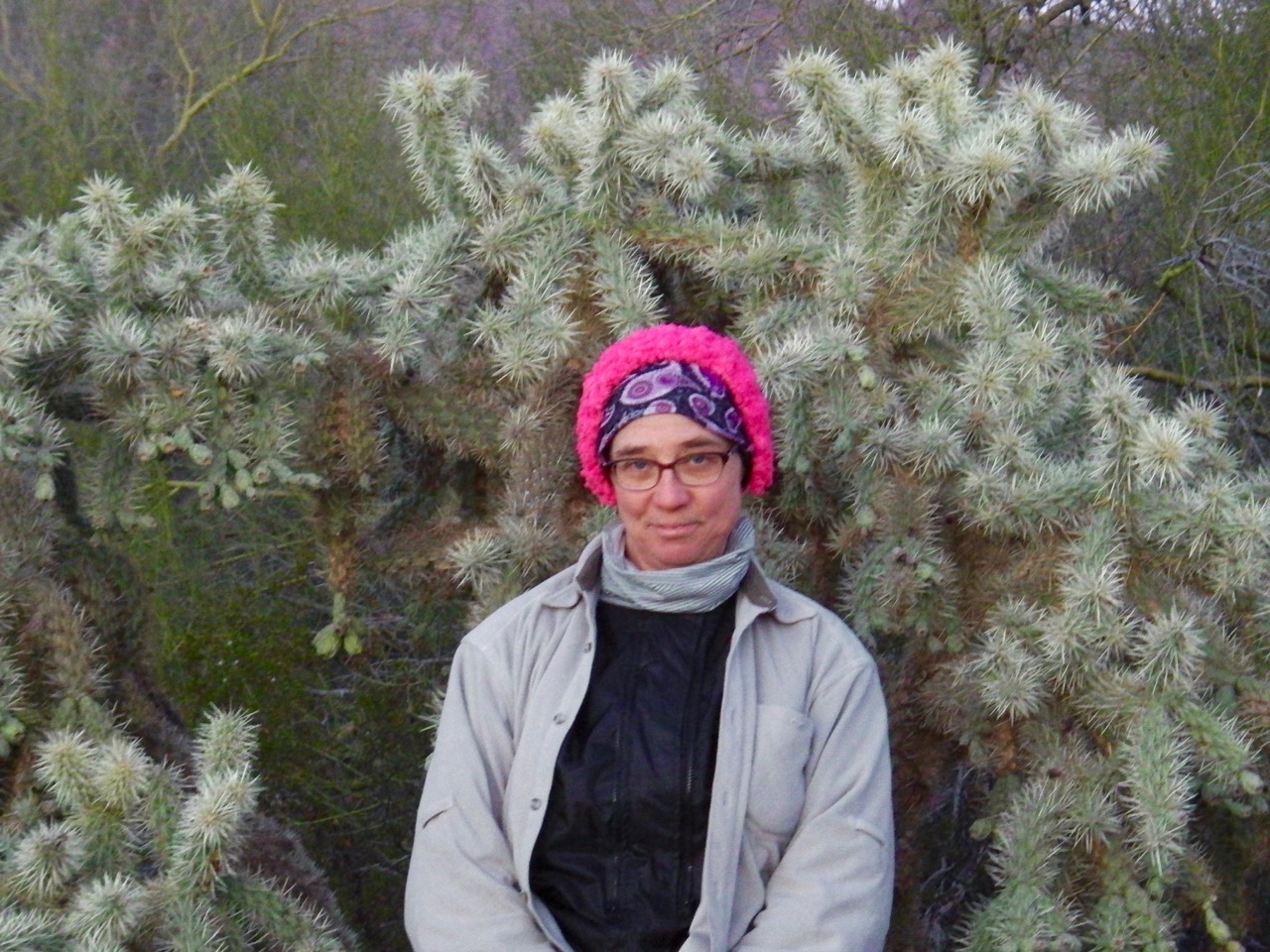
BTW Monique, Ann loves her pink tiera:


